Author: melmalinowski
-
Jacobite Steam Train, Fort William, Scotland, UK
There is a steam railway excursion from Fort William, Highlands, Scotland, UK to Mallaig on the west coast of Scotland. It is called ‘The Jacobite’ (too much history to recount here!). It sounded like fun, so I signed up. FIring the boiler to get up a head of steam I think you have to know…
-
How to scatter your possessions around the world
As I travel, I have learned a few things that you may find helpful in your own travels. One is how to give away your possessions along the way, without even meaning to. Have you heard this joke?: Some people learn by reading books. We’ll call these ‘type C’ Other people learn by observing the…
-
West Highlands Way, Scotland, UK
The West Highlands Way is the longest of the long distance Scottish walks, at 96 miles. Starting not far north of Glasgow, it climbs up into and through the Highlands and moorland of Scotland, the home of ‘Rob Roy’ MacGregor and the Highlanders who wound up battling for control of their own lands. Reading of…
-
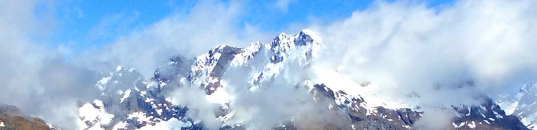
The Isle of Skye
The Isle of Skye. The name alone has a bit of mystic to it. It has a reputation as a place of great dramatic beauty, and this is well warranted. Some areas are flat out spectacular. I rented a Fiat 500 (tiny little car!) in Inverness for four days, and drove down to the Isle…
-
Inverness, Scotland (UK)
I reached Inverness after a 3 ½ hour train ride north from Edinburgh. Inverness is a much less dramatic city than Edinburgh, relatively flat, lying along the banks of the River Ness (which empties Loch Ness). You see quite a number of villages and towns in Scotland that begin with ‘Inver’, because in Gaelic…