Category: Pacific
-
Maldives November 2018
Nearly 20 years ago, Judy and I visited the Maldives, an ellipse of atolls south of India. We came to see it as one of the top 10 snorkeling destinations we had visited anywhere. Maldives trip report This year I returned with a friend to visit Vilamendhoo Island, our favorite in the Maldives. When we…
-
North Island New Zealand March 2018
I have neglected the North Island in favor of hiking down on South Island, so now I’m embarking on 3 weeks touring North Island New Zealand by car. Flying in to Auckland from Queenstown I like the Kiwi attitude towards their natural environment. I love this old downtown Auckland park for its gigantic mature trees…
-
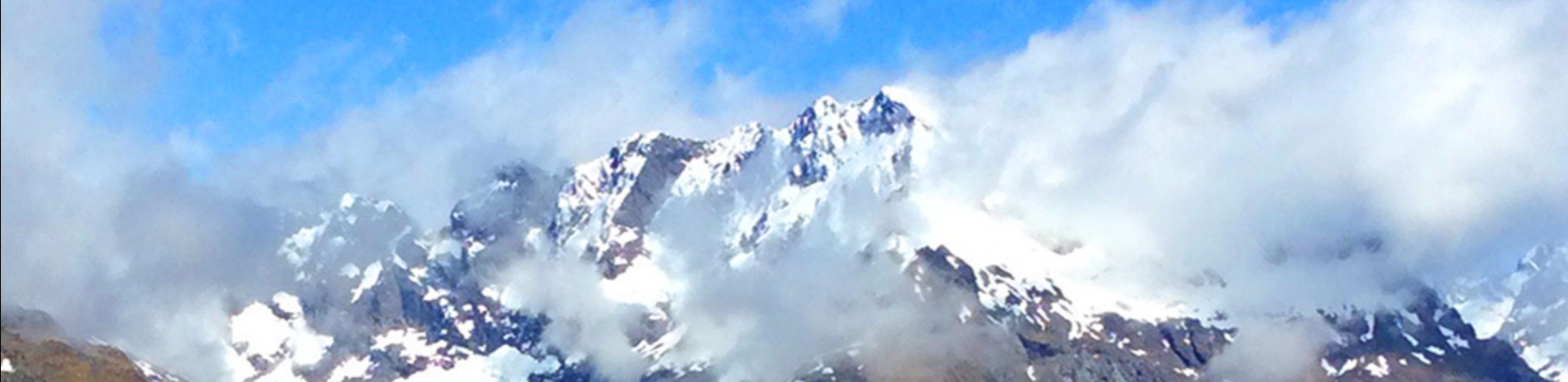
New Zealand March 2018
I have come to love New Zealand, and keep coming back. I just returned to do some sailplane gliding and hiking. Previous 12 trip reports for New Zealand As always, I began my visit by stopping to see my Kiwi family in Auckland. Here is a snippet of them from back in 2016: My…
-
Dengue fever December 2017
One of the risks of being a global nomad is exposure to illnesses not common at home. I’ve been to 73 countries now in my life, and managed to avoid malaria and other serious tropical illnesses–until recently. I am in recovery from an episode of dengue fever now. One of my readers asked that I…
-
Tasmania, Australia January 2017
I began my exploration of Tasmania by flying from Auckland via Melbourne to Hobart, Tasmania. 3 ¾ hours Auckland-Melbourne, 1 hour further to Hobart, Tasmania I flew from Auckland to Melbourne on Air New Zealand, in a rather new 787-900 plane with an interesting premium coach seat configuration that I think is a very clever…