I have come to love New Zealand, and keep coming back. I just returned to do some sailplane gliding and hiking.
Previous 12 trip reports for New Zealand
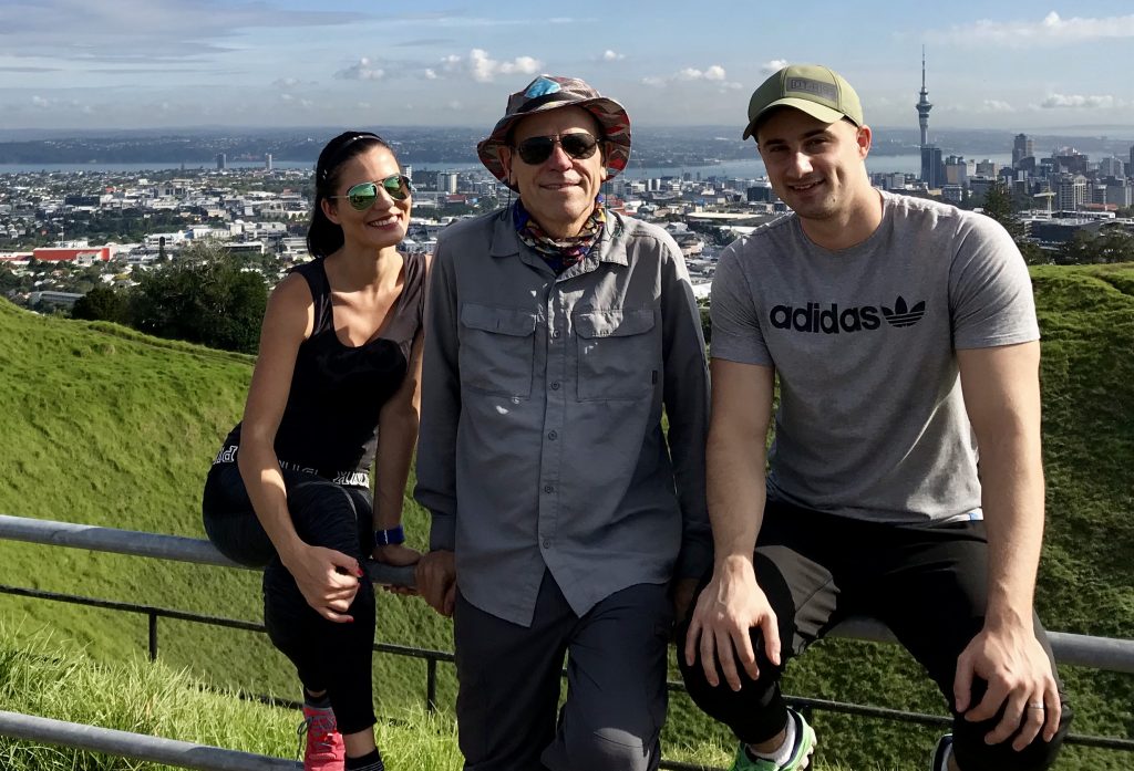
As always, I began my visit by stopping to see my Kiwi family in Auckland. Here is a snippet of them from back in 2016:
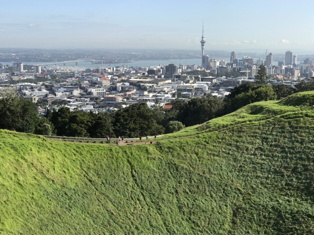
My Kiwi family lives in the Mount Eden neighborhood of Auckland. Nearby Mount Eden (an extinct volcano, one of several in volcanic NZ) beckons.
New Zealand is a long way from just about everywhere except Australia.

It’s not that far from Antarctica, however.
I like to meet people on the trail. Here is a couple I met from Slovenia, Jana and Bronisław.
Auckland has been here quite some time.

A Chinese hiker who practices Falun Gong.
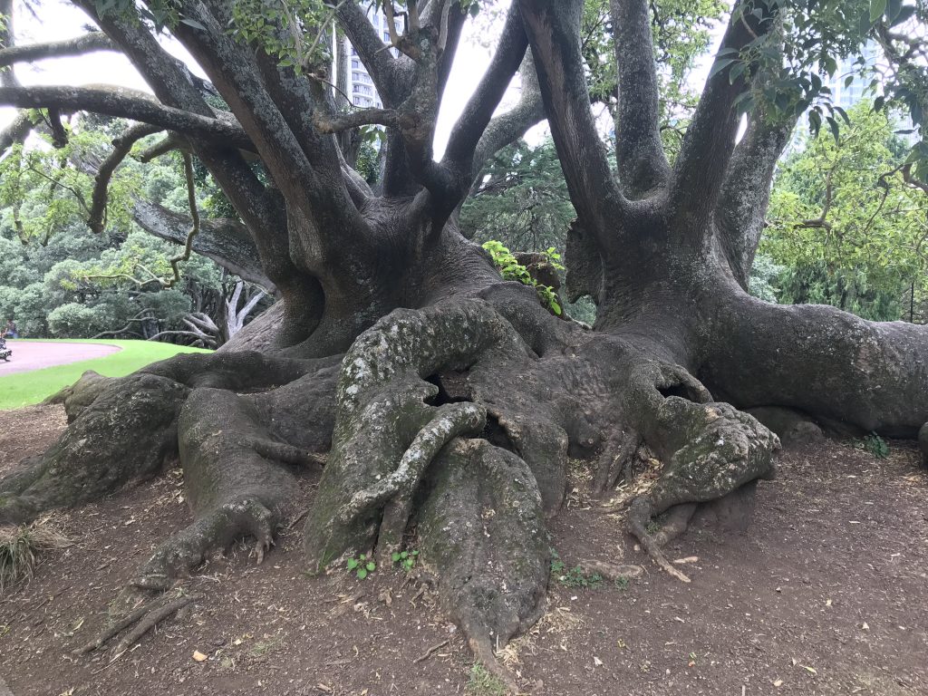
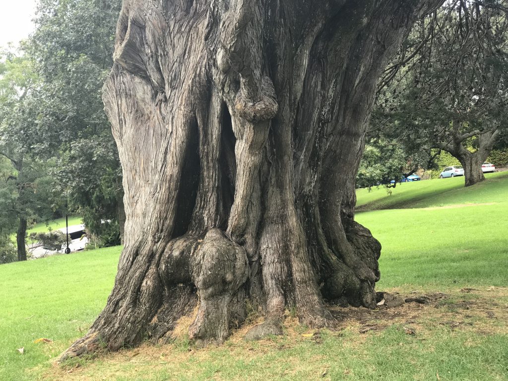
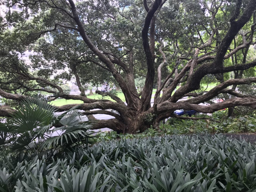
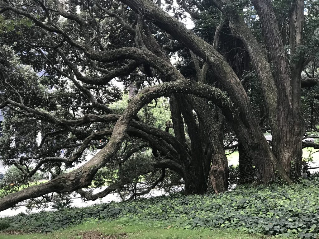
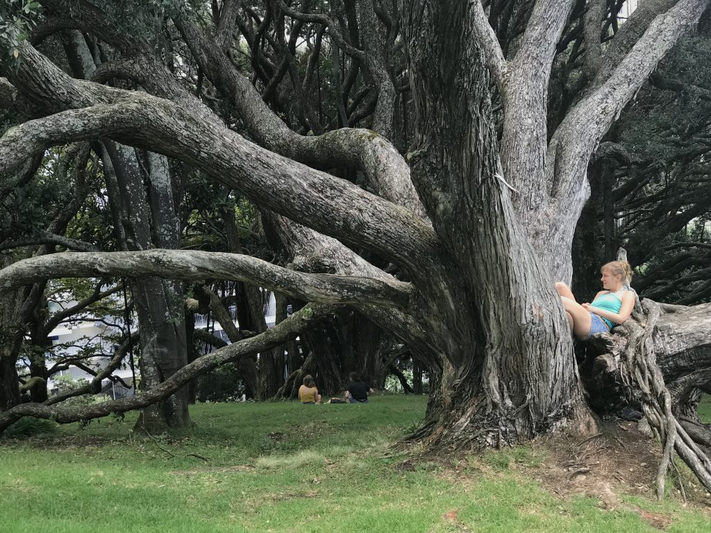
Auckland has great parks. Albert Park, in the city center, is very old, and has amazing big trees.
Albert Park is near the excellent Central Auckland library. But don’t drive there, as parking is very difficult and expensive. Better to take a city bus or walk.
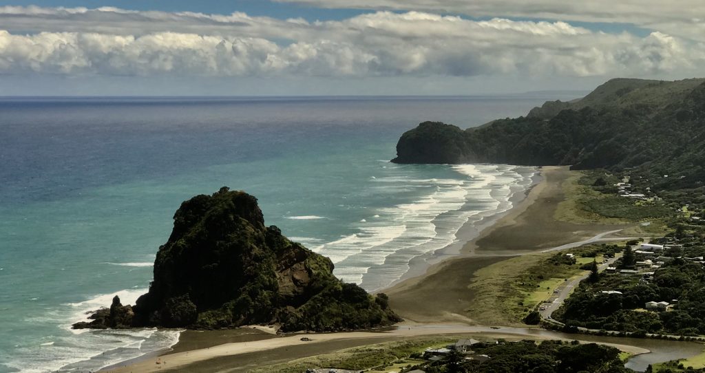
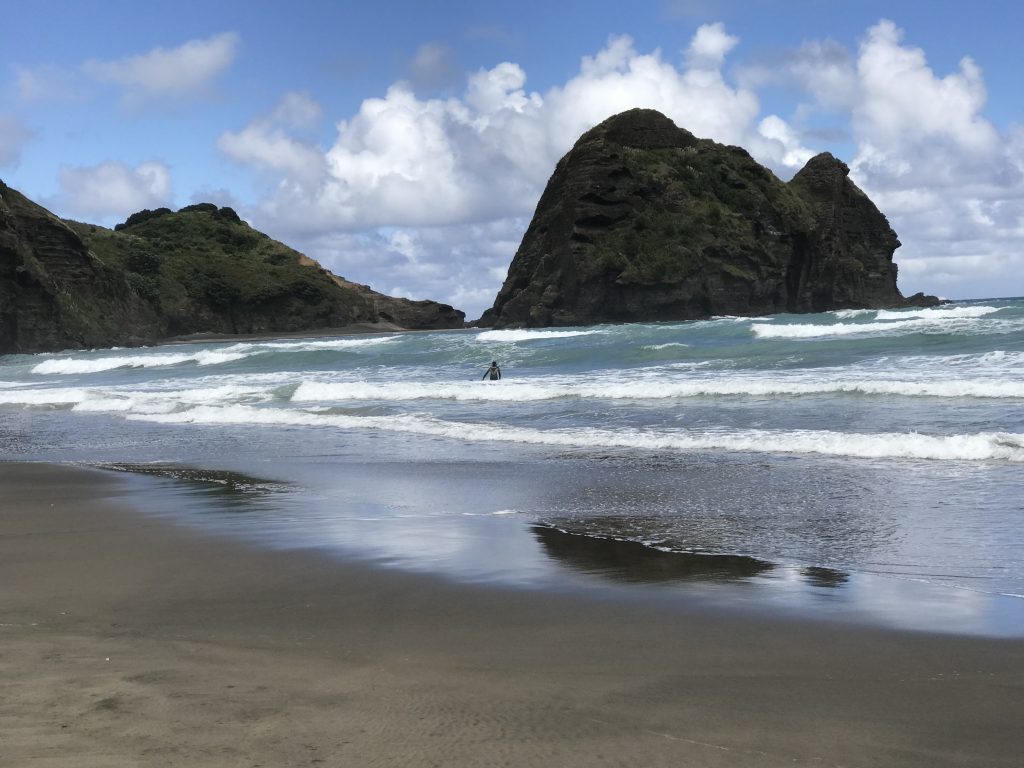
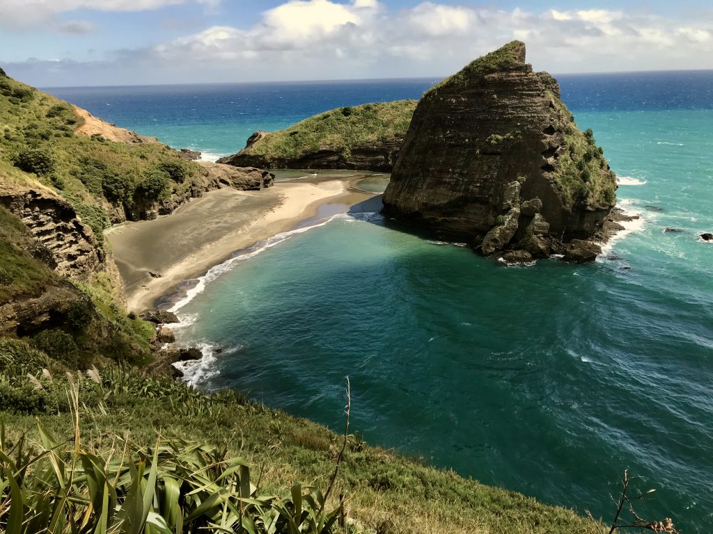
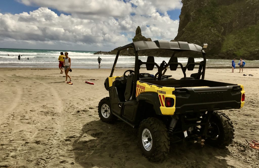
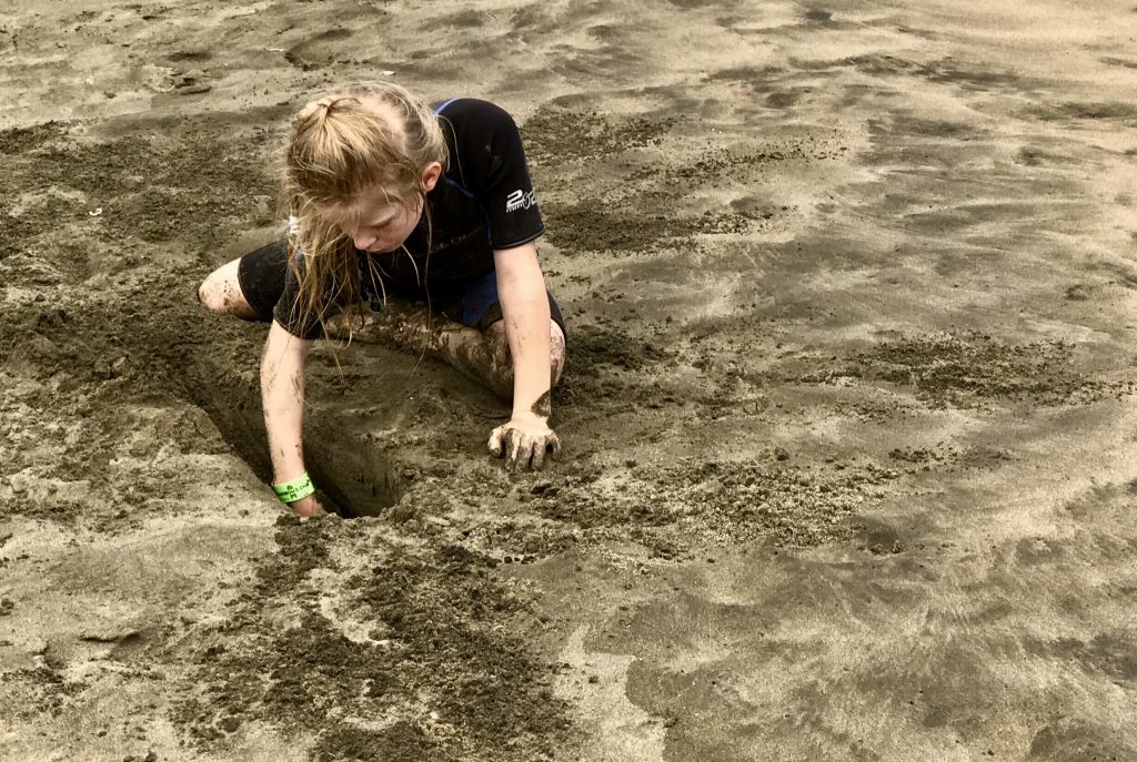
My Kiwi family suggested a one hour drive to Piha Beach over on the west coast near Auckland.
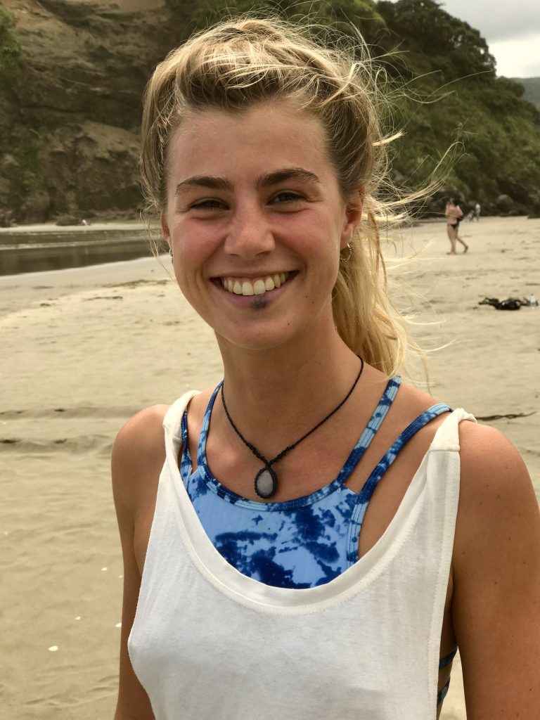
A German ‘surfer girl’
The water is cool here, so wet suits are ubiquitous.
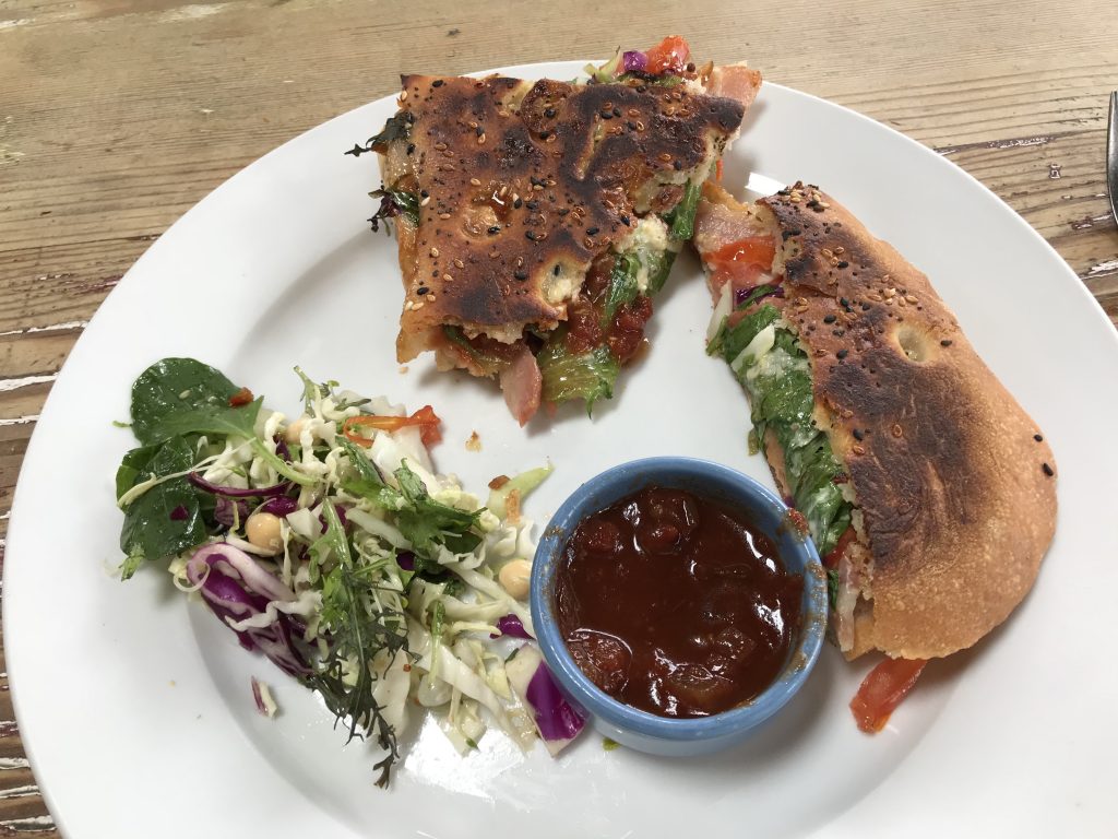
A yummy lunch at the Piha Cafe.
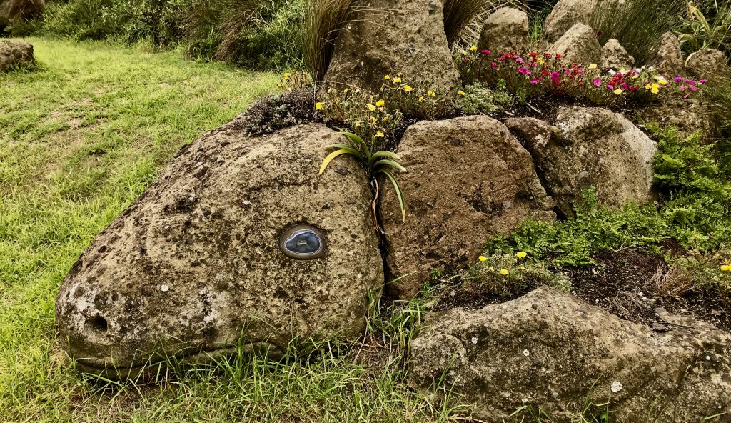
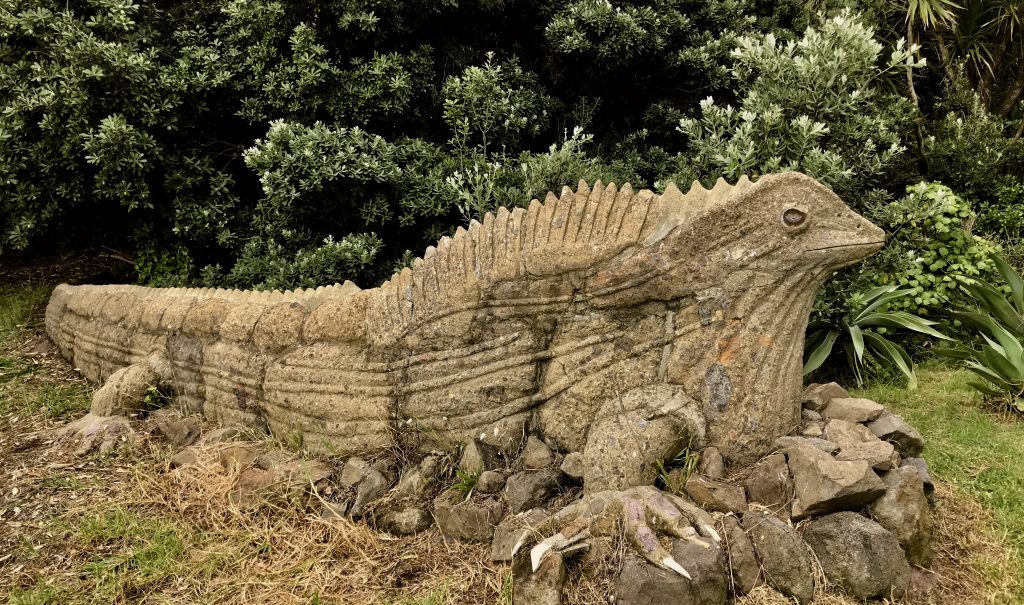
Clever rock sculpures flanking a Piha driveway

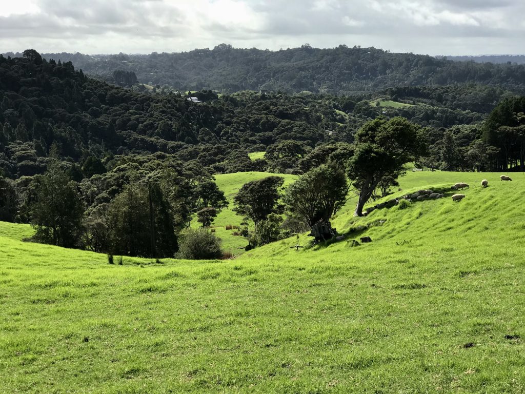
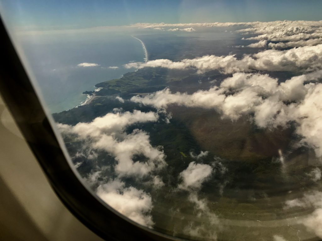
Driving back from Piha Beach, I was struck again by how lush and beautiful New Zealand is. In some ways, it reminds me of rural Washington State, where I spend my childhood, except the ocean is always close here.
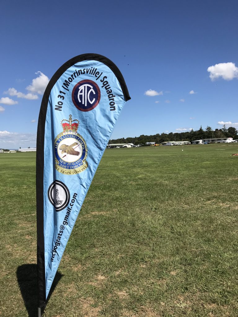
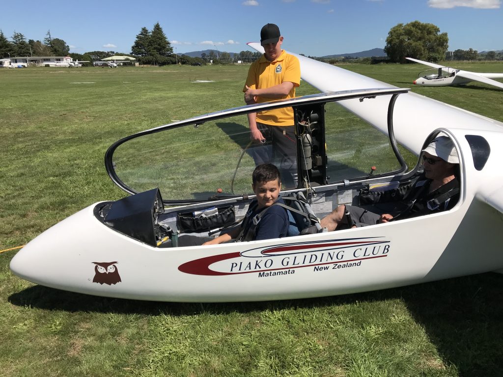
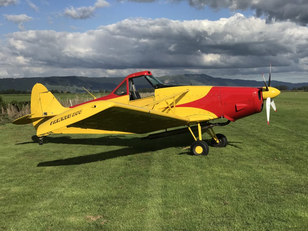
Time to drive south to Matamata to where I did my first soaring flights.
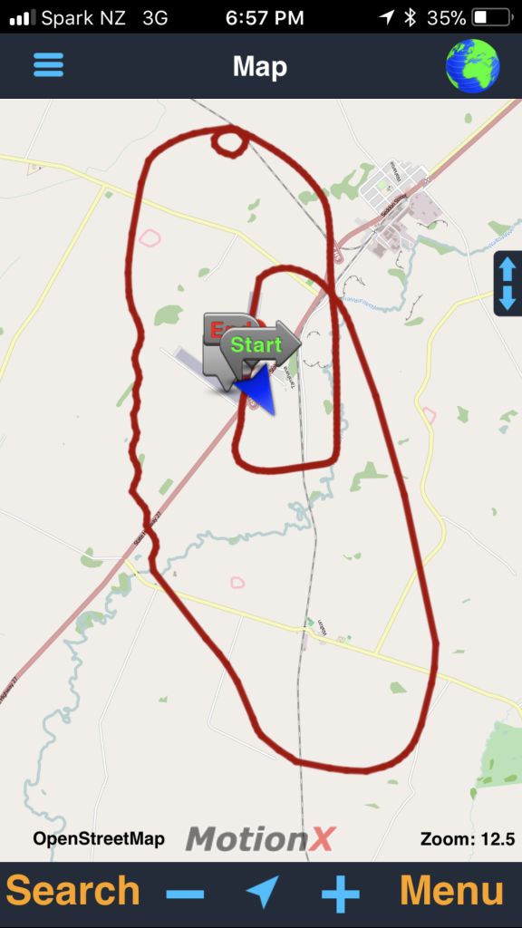
GPS track of one short flight. Wavy line is doing banks back and forth for practice. Circle is a 360° loop to check for traffic.
Matamata New Zealand winch glider launch from Mel Malinowski on Vimeo.
Time to head further south to Queenstown, South Island, New Zealand:

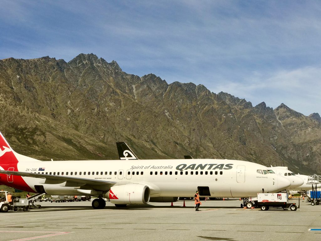
Queenstown Airport, New Zealand, set amid rugged mountains.
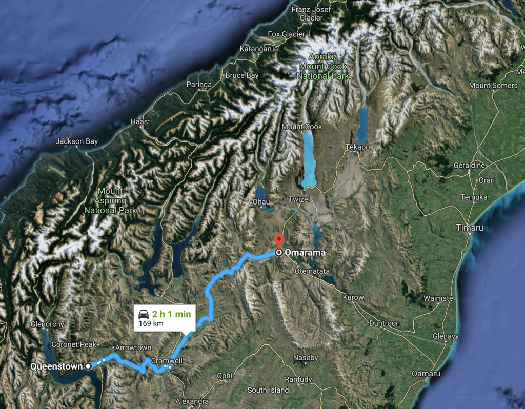
Now, two hour drive to Omarama, where I will do my first ‘ridge’ soaring.

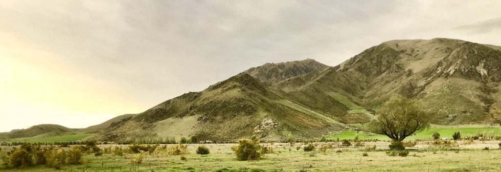
Omarama
 I came to Omarama to experience one of the best ‘wave’ gliding sites in the world.
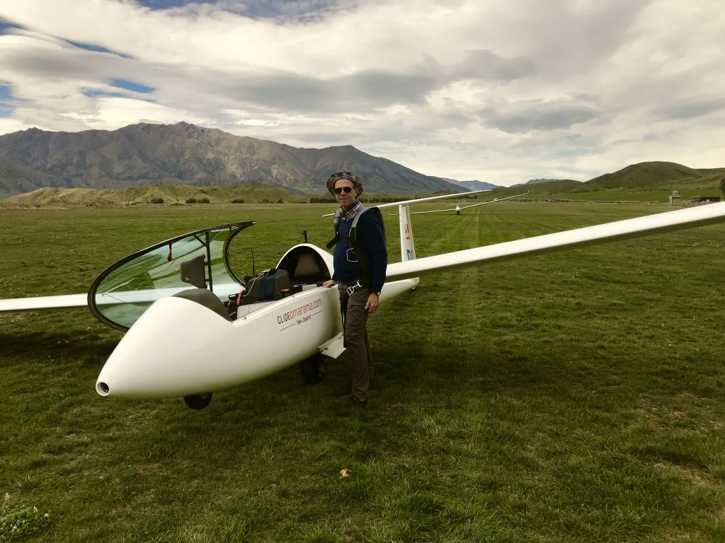
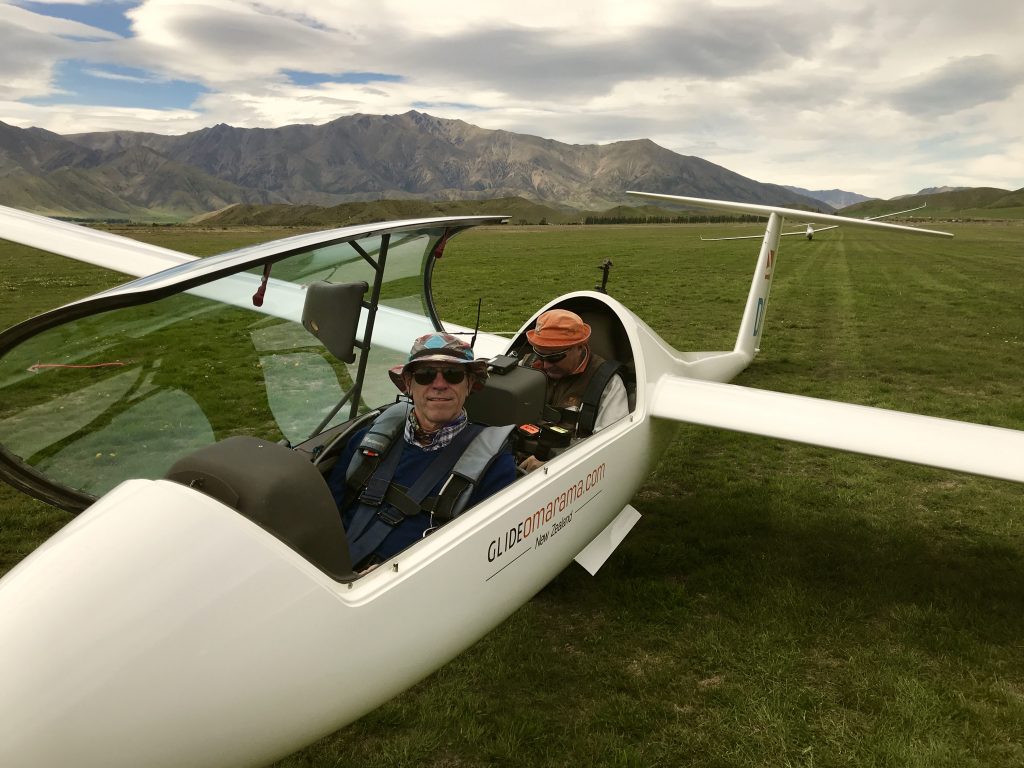
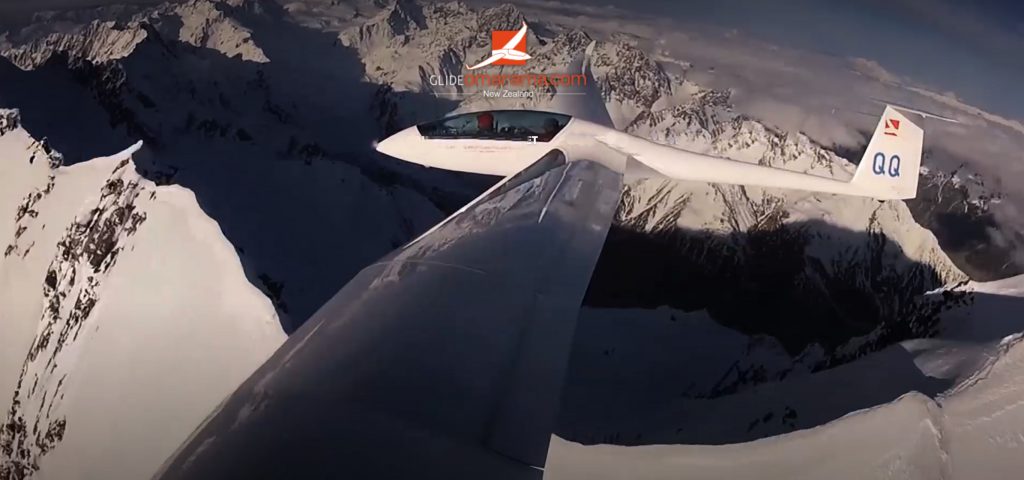
Here I am with Duo Discus X, 65 foot wingspan. I’m wearing a parachute, required as precaution in case of glider failure.
When you fly in waves, you can safely climb in lift up to 20,000 feet above mean sea level (AMSL). You can continue climbing, but there are risks if you do. You need to use supplemental oxygen above 10,000 feet AMSL. If your oxygen supply should fail above 20,000 feet, you would pass out (faint) after a limited time. That might not be enough time to descend, and you would crash.
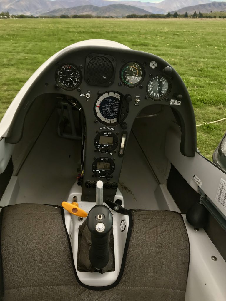
Front seat. Panel instruments from left to right: altimeter, air speed, variometer (tells you how fast you are climbing or sinking), digital variometer in middle, exterior temperature gauge, and radio.
The control stick is in the middle, with a button on top for the forward machine guns (just kidding, activates the radio)
Yellow handle releases the tow rope. Far right handle retracts the main landing wheel. Not shown here: the oxygen dispensing gizmo where you plug in your oxygen tube. It automatically adds in enough oxygen for the altitude you are at, which only flows in pulses as you breath.
As this advanced glider costs around a quarter of a million US dollars, and the conditions here are great but have some risks, they don’t let you just show up and rent one without proving that you have substantial flight hours and experience in this kind of gliding and terrain. You have to have a lot more experience than I yet do to qualify.
So I am spending this week going up with senior flight instructor Phillip Plane. Phil is great. He lets you fly the glider for as much of your flights as you are capable, and just steps in to demonstrate techniques, or to keep you from damaging the glider or making a fatal mistake or two.
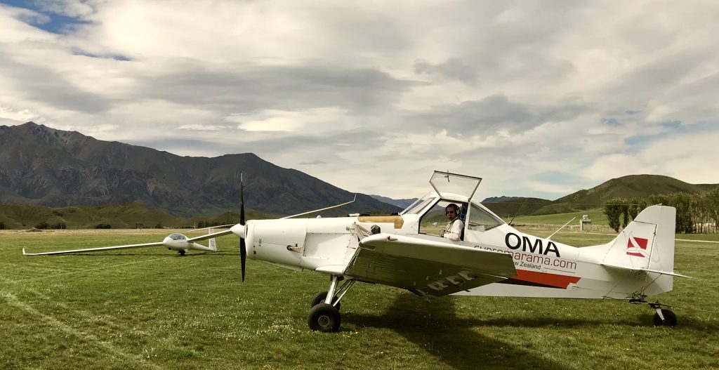
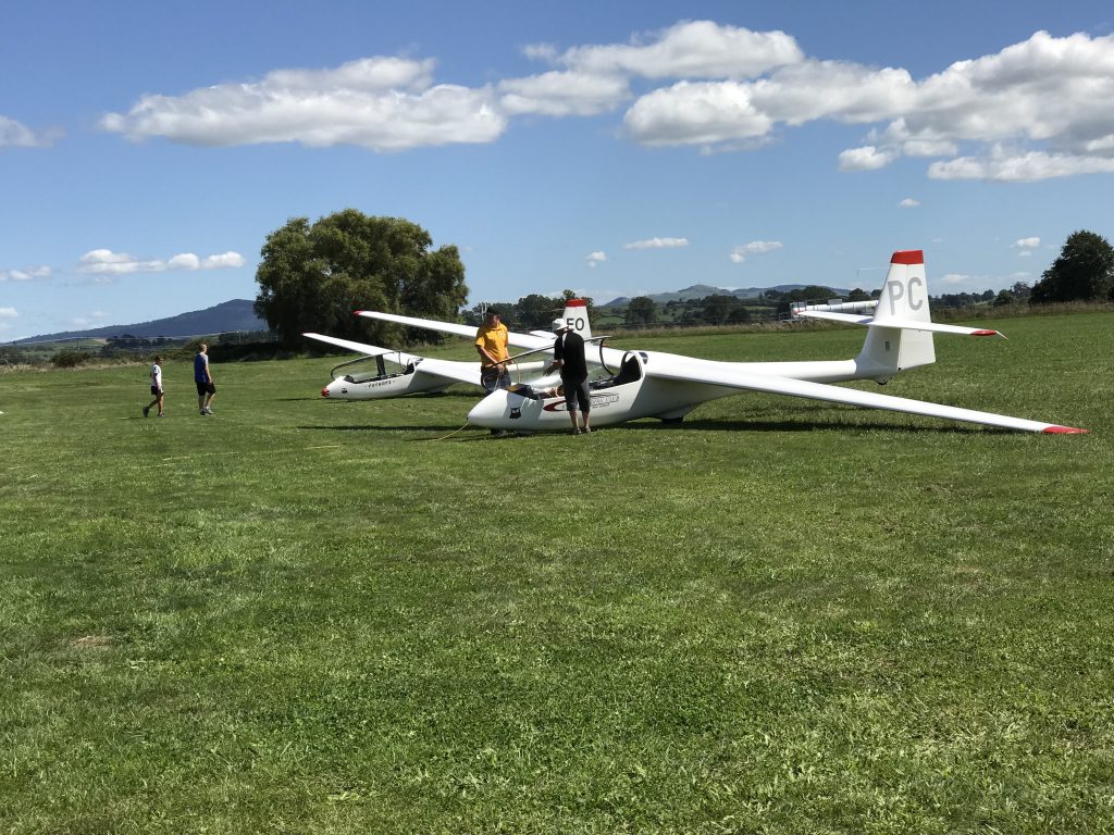
Our tow plan. It tows your glider up to where you can climb with lift, usually about 2,000 feet above the field ground level. Then you release, and off you go.
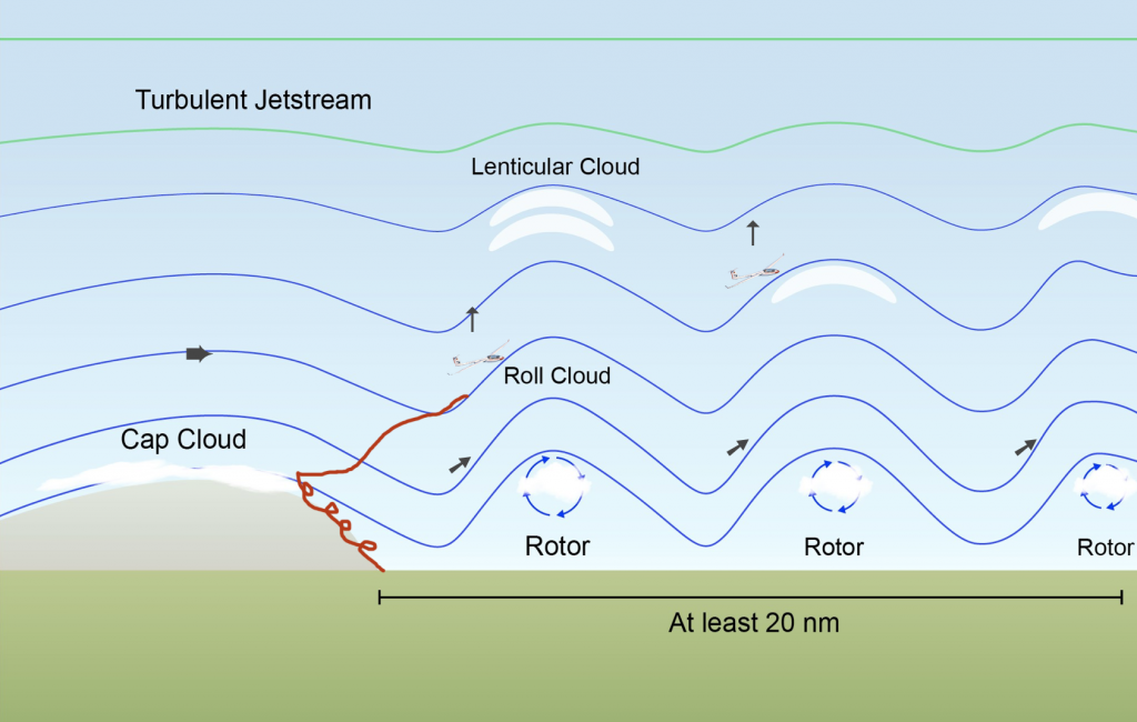
A simplistic illustration I made of how ‘wave’ gliding works. Steady wind blowing over a mountain range rises, and then in the lee of the mountain becomes a set of waves like in a river. Climb your glider up to the wave, and you can climb and surf along it for hundreds of miles.
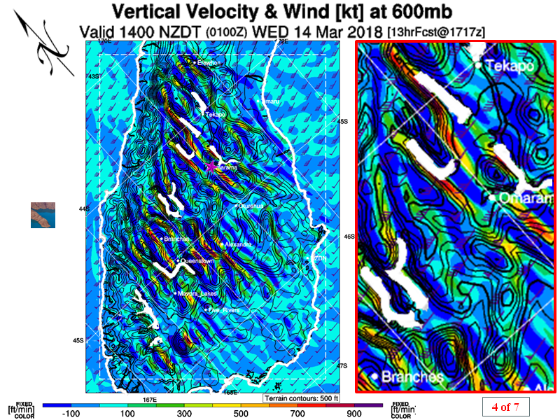
Every morning begins with a weather briefing. This shows a prediction for 2pm. The parallel bands are the waves.
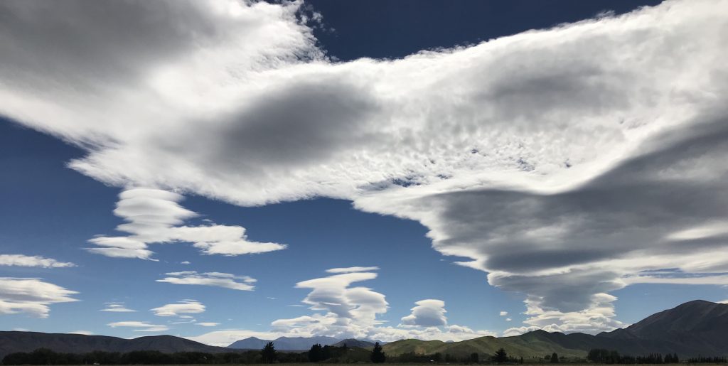
Step outside, and you can see one of the wave fronts extending off into the distance. The visibility in New Zealand is extraordinary, and the clouds here are dramatic and beautiful.
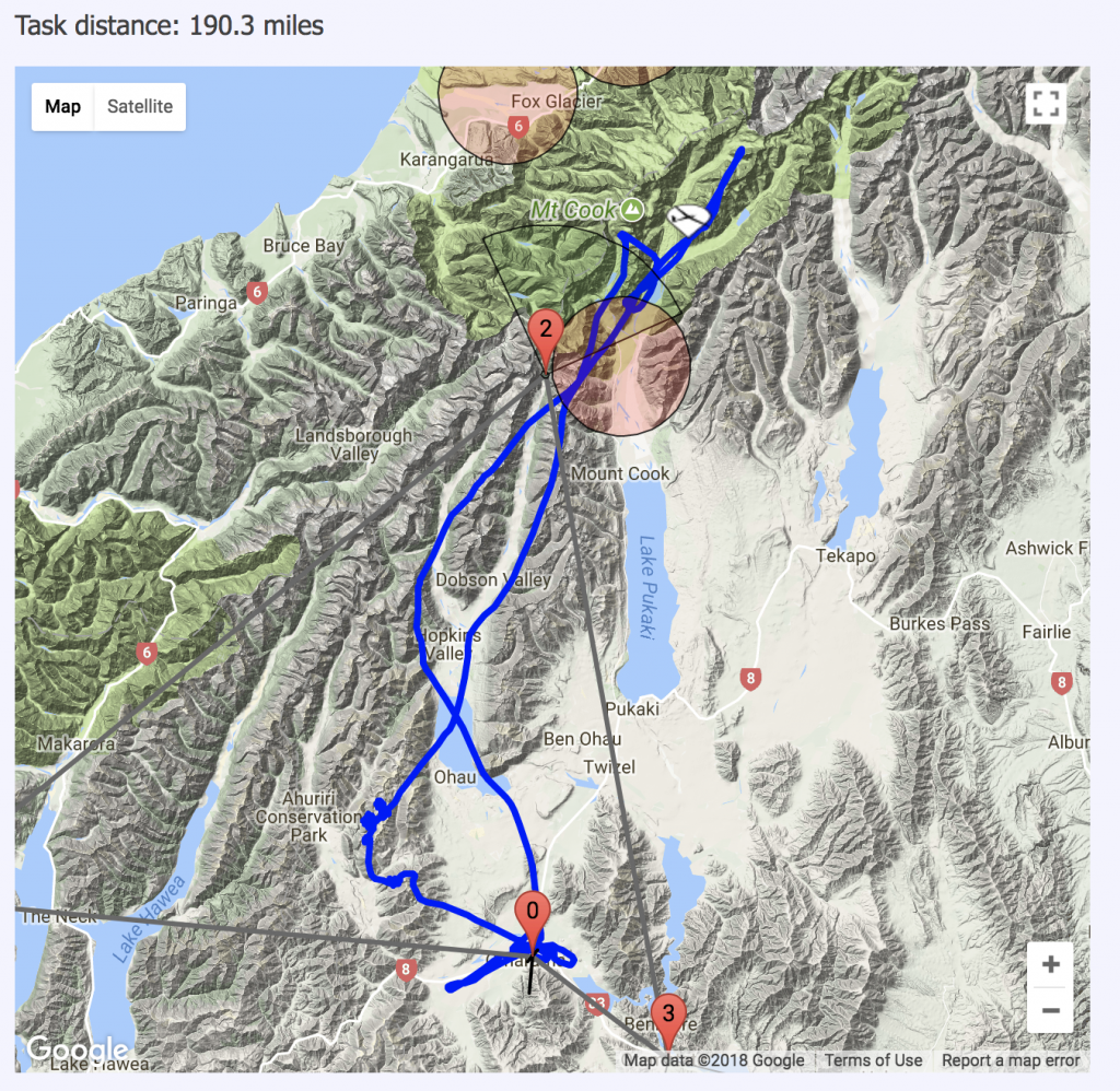
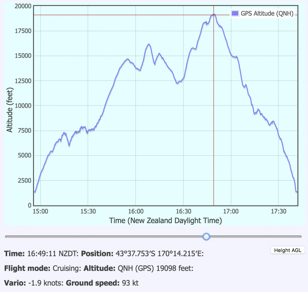
This is the track of our first flight, 190 miles, tow to 2,000 feet AGL, then climb in lift to just over 19,000 feet AMSL. Flight time: 3 hours.
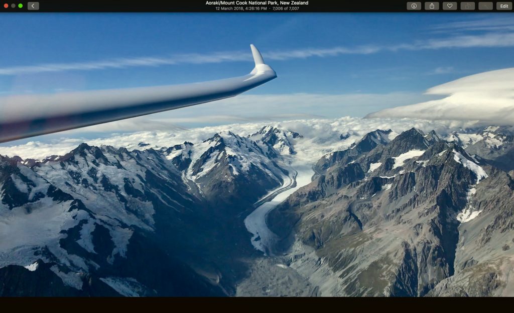
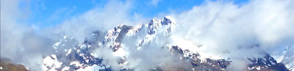
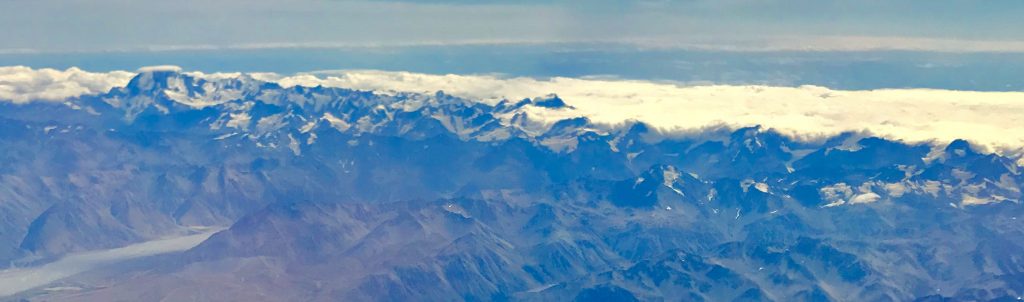
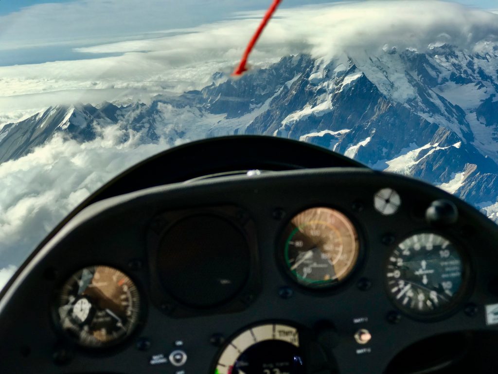
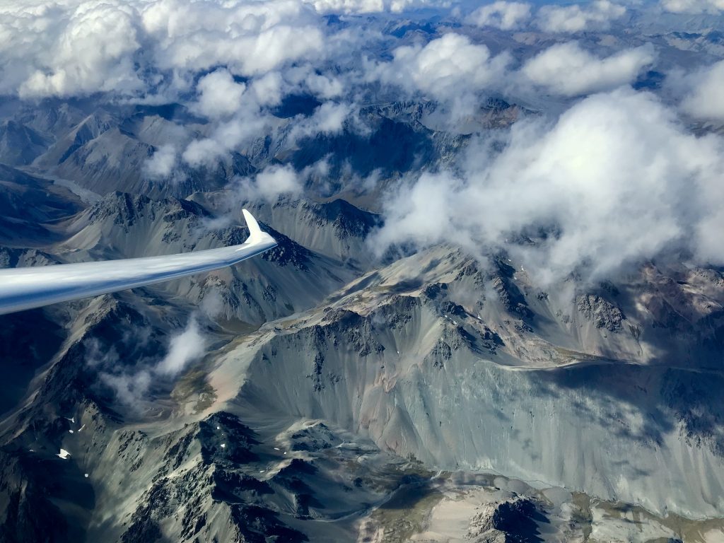
As you get up towards Mt. Cook, the views become spectacular. Taken from the cockpit with an iPhone 7 plus.
Gliding in the Alps of South Island, New Zealand from Mel Malinowski on Vimeo.
From the GlideOmarama website
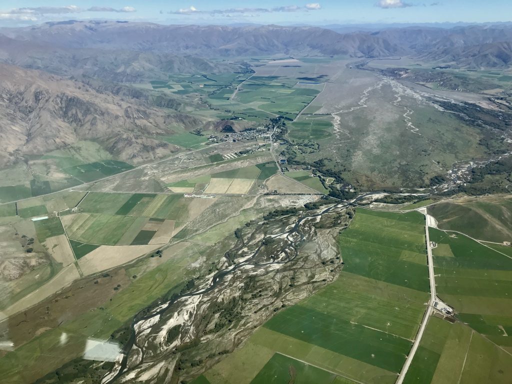
If you look closely you can see the Omarama airport. Look for the three white hangars together. The long grass strip is just this side of them. That is a classic New Zealand braided glacial river in the foreground.
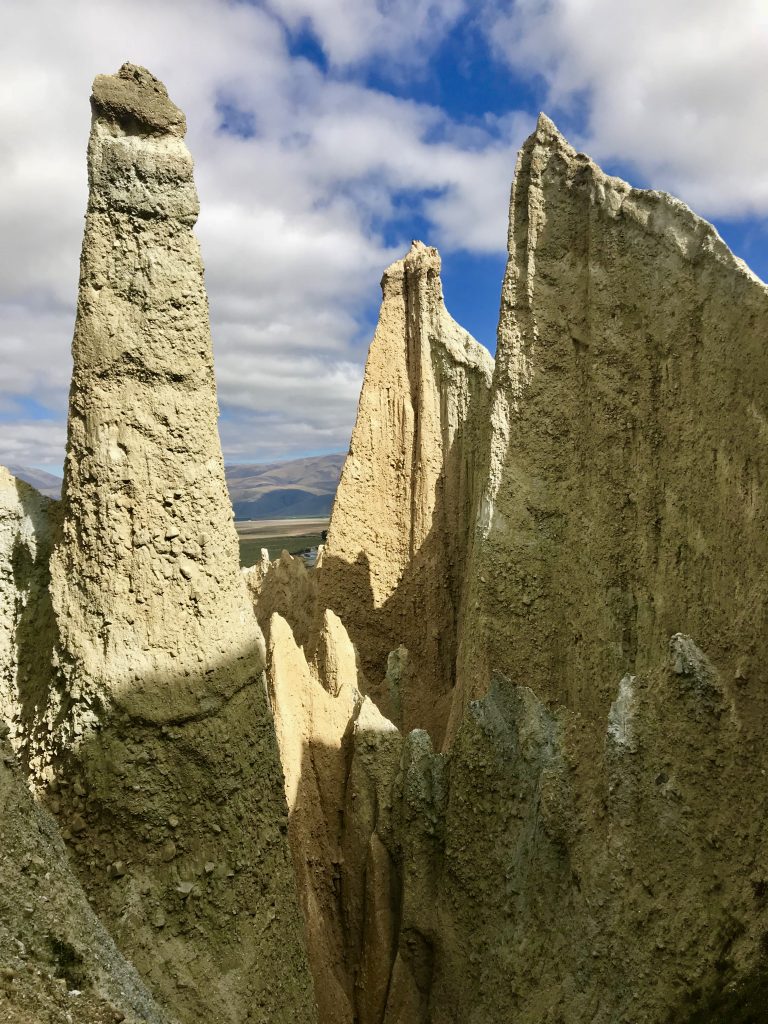
Ah, what a week of mountain gliding! Quite amazing. For my last day, I drove up to the Clay Cliffs and the base of Mount Cook.

Onward 100 km. to Mount Cook
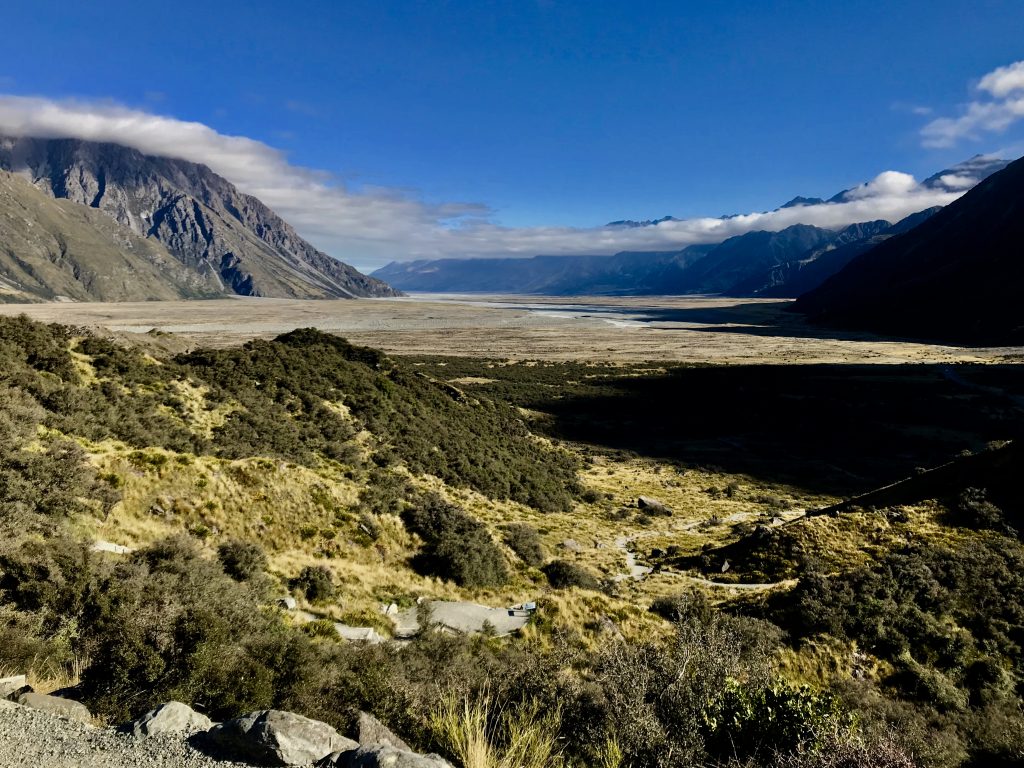
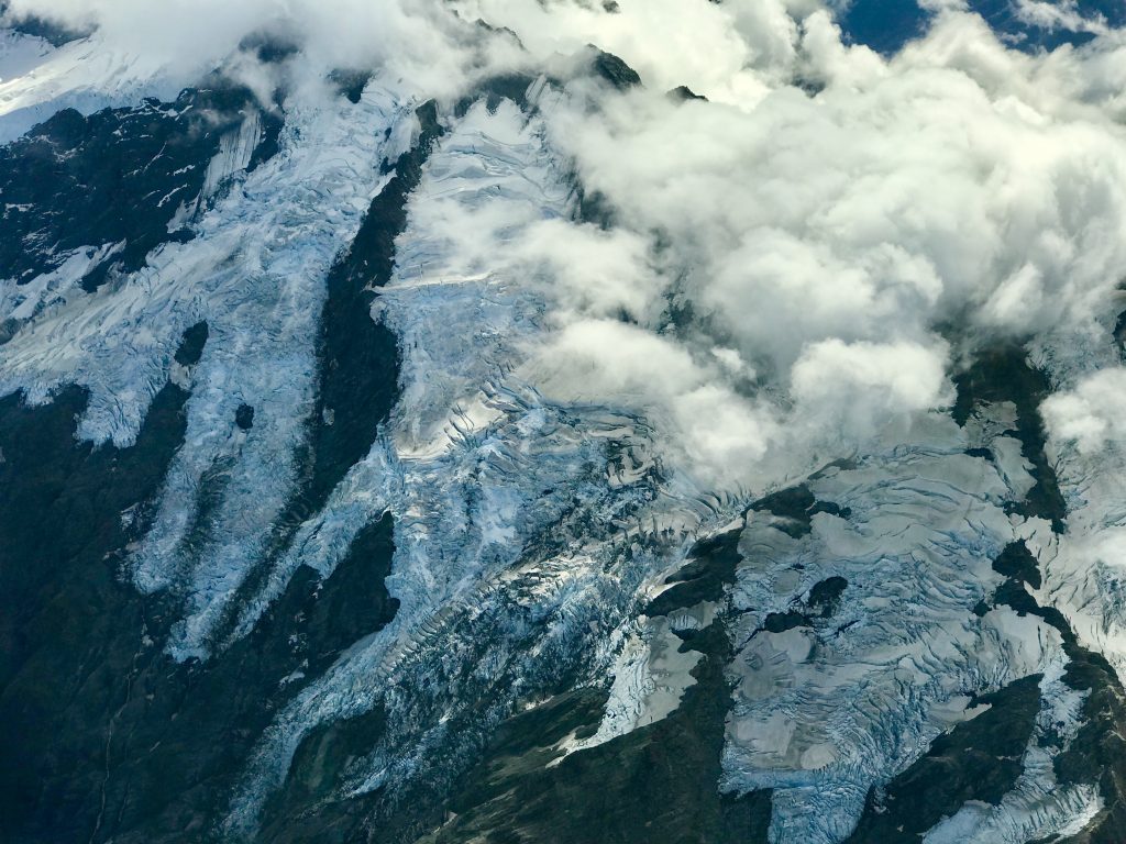
Broad glaciated valley just below the Tasman glacier terminal moraine. Pretty much all of New Zealand was under glaciers. As a result, the soil depth is thin in the mountains.

The Tasman glacier. The black area in front is glacial ice with exposed gravel on top.
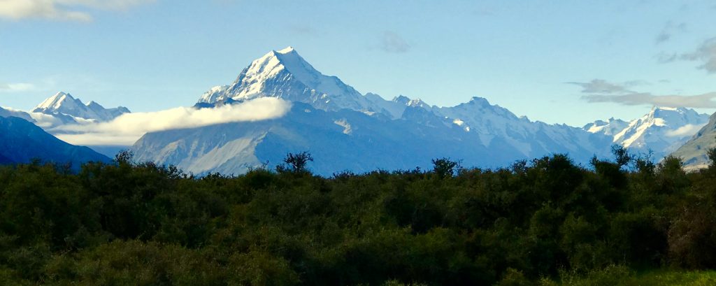
Mount Cook, 12,218 feet high. Also known as Aoraki. I flew 7,000 feet above this.
Time to move on. Back to Auckland for 3 weeks of touring the North Island by car.
Leave a Reply
You must be logged in to post a comment.