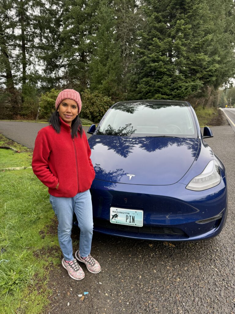
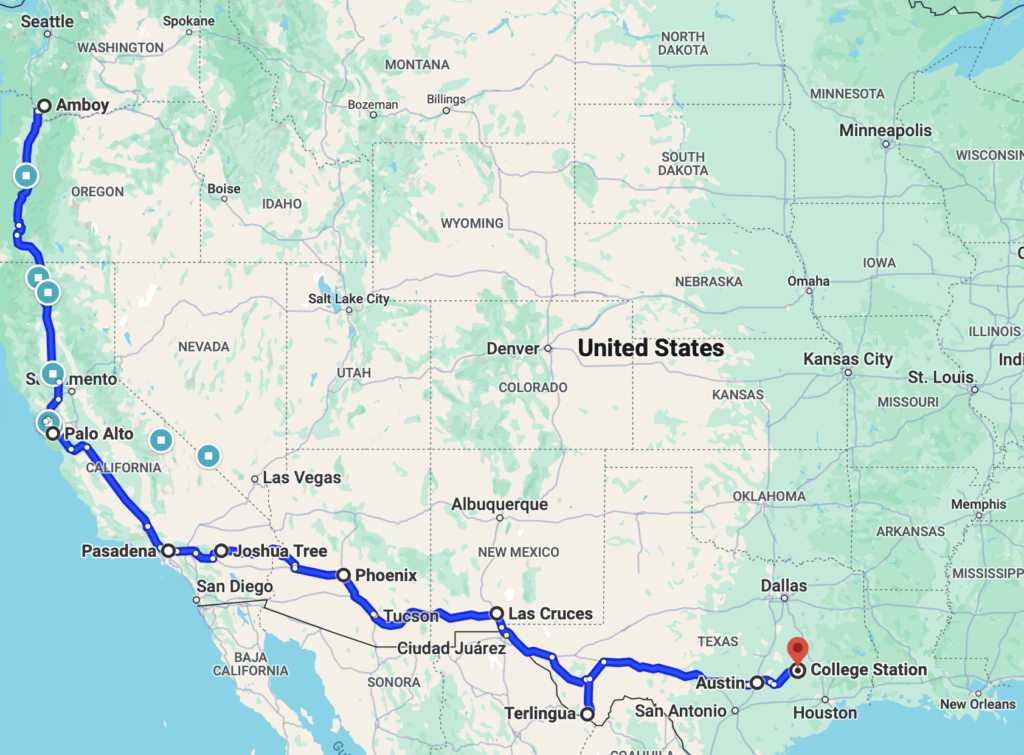
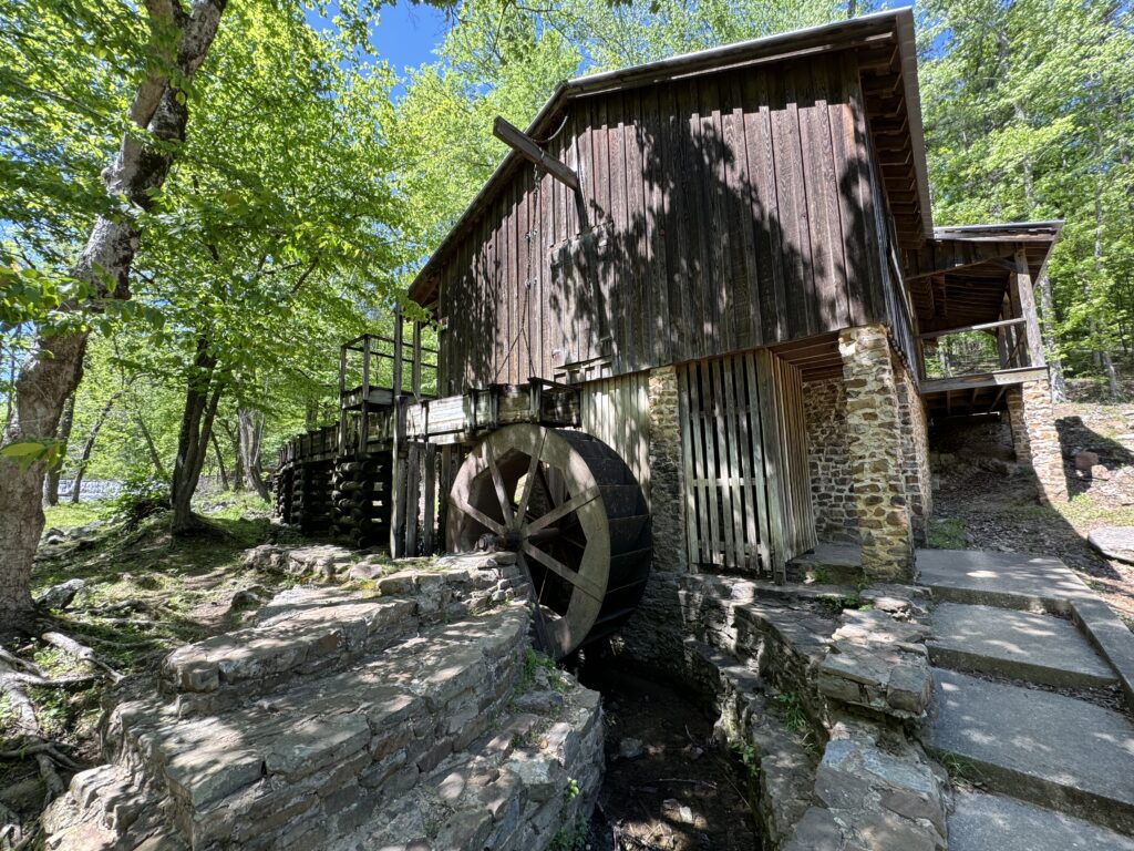
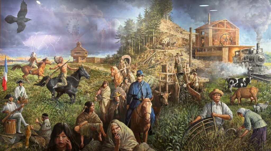
On April 2, 2024, Pin and I embarked on a seven week long road trip circling the USA from south to north, covering over 9,000 miles. I wouldn’t attempt this without the assistance of Tesla’s Full Self Driving software. It makes the long freeway stretches relaxing and more fun. I’ll try to enter installments as we go along on the trip.
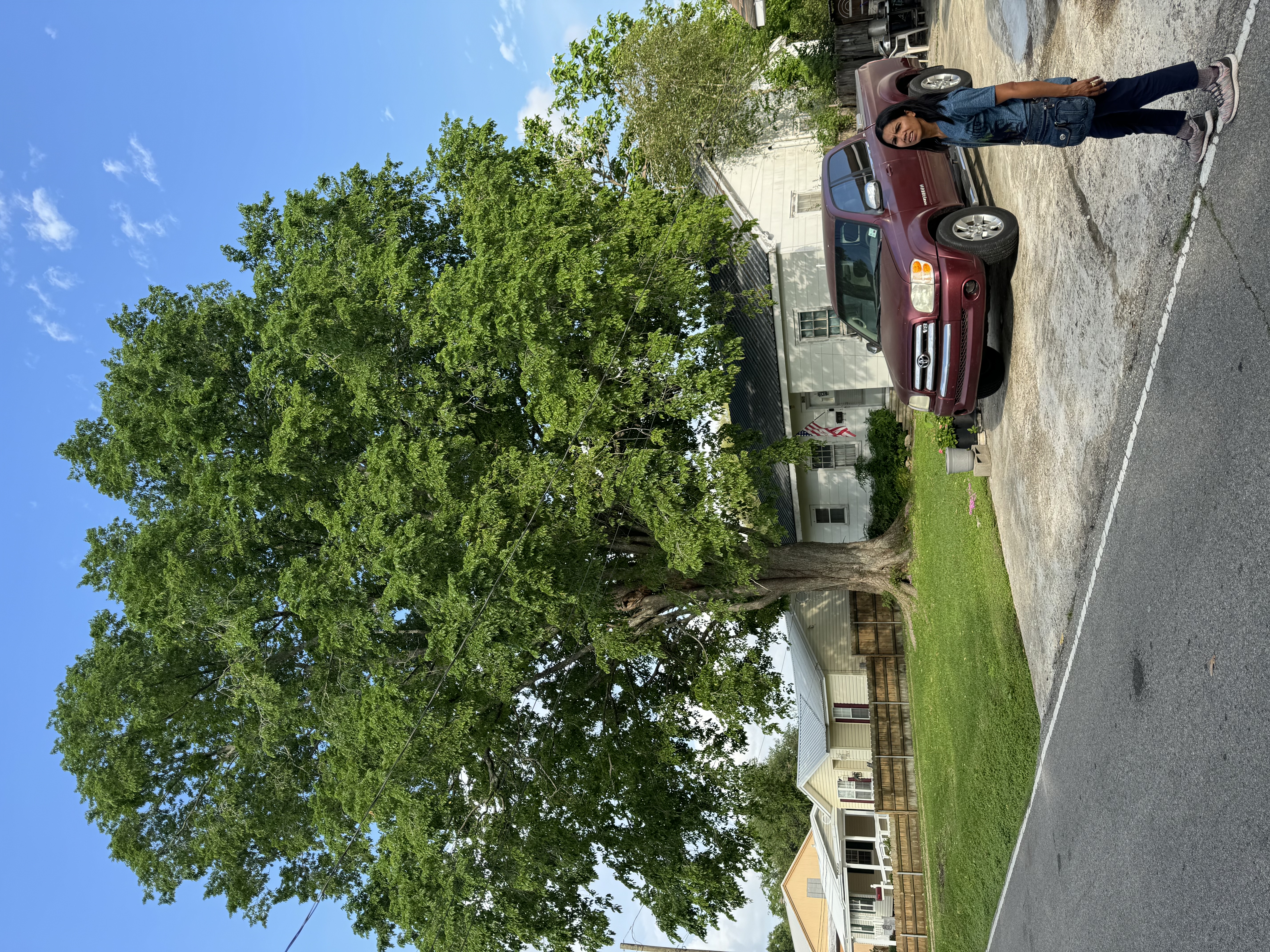
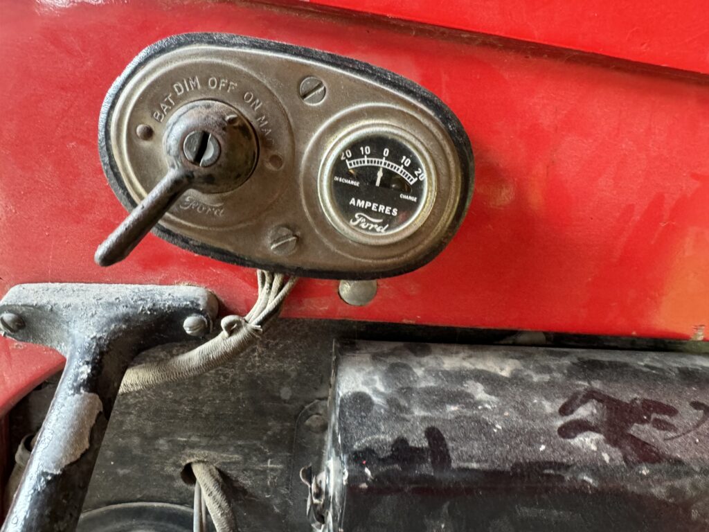
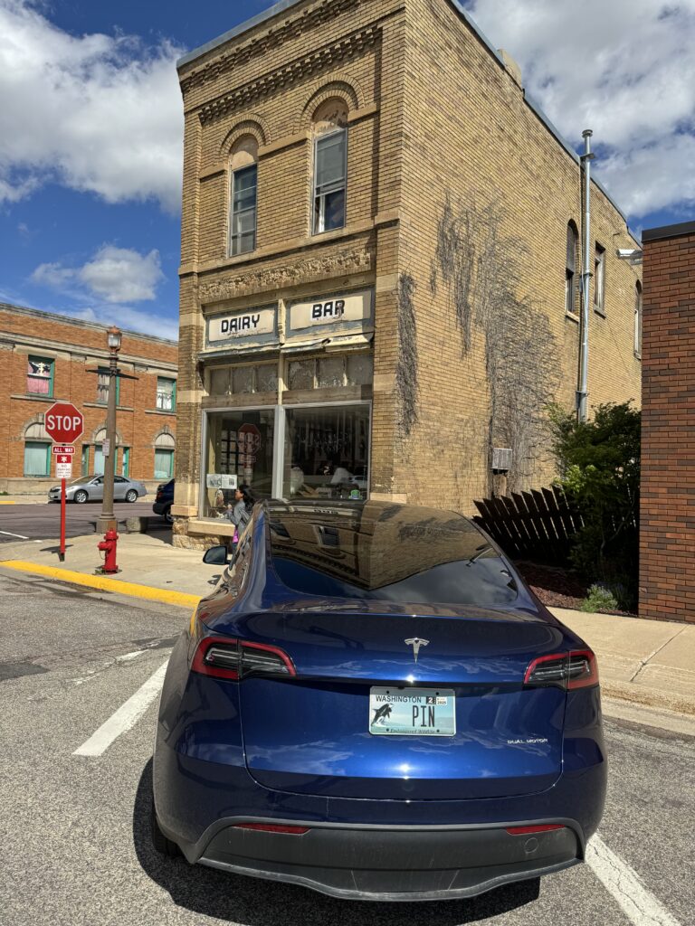
Our Tesla Model Y LR 2023

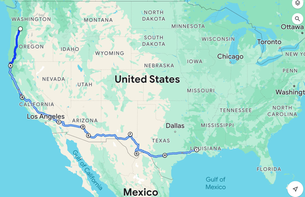
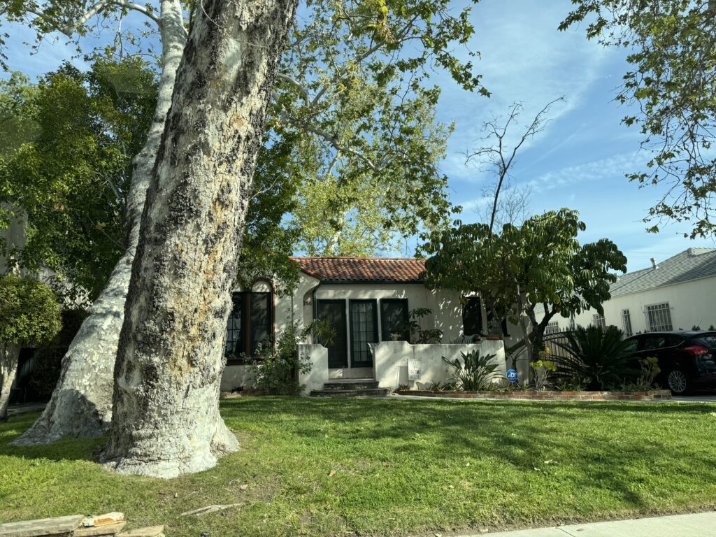
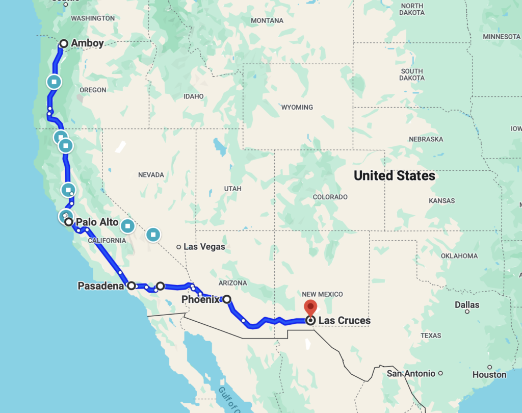
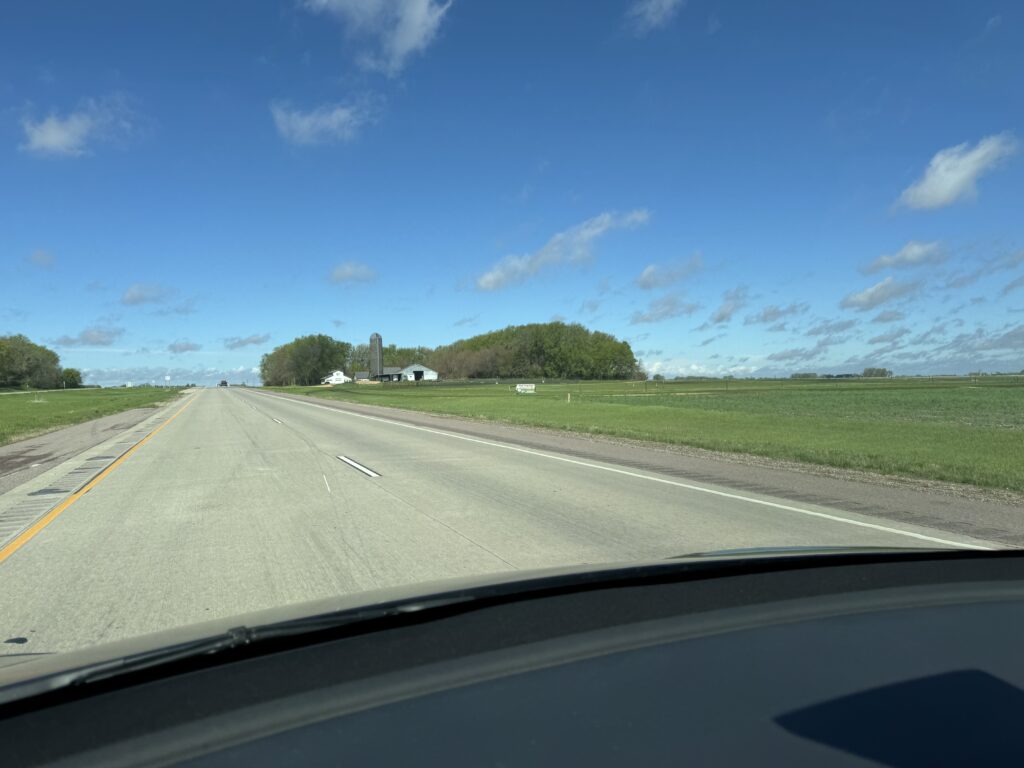
Our grand expedition begins with a one day drive 700 miles from Amboy, Washington to Palo Alto, California. Here is our tentative route. We’ll adjust it along the way depending on the weather, and how much fun we’re having in particular areas.

We were FOB (Fresh off the boat) with one foot still in Thailand. As there is a 10 hour time difference with Pacific Standard Time, 2:00 AM in Amboy is 4:00 PM in Thailand. So when we woke up on departure morning at 1:30 AM instead of 3:30 AM, we decided to leave early. At 2 AM we headed off in the dark.
Unfortunately, we discovered that the new vision-based Tesla Full Self Drive (supervised) 12.3.2.1 did not do well in the dark. After numerous disengagements and erroneous error messages, we decided to just drive ourselves until daylight. A friend who also uses FSD told us that it works OK at night for him, so I cannot say for sure what the problem was.
However, in the daylight, all was well. FSD did a great job of keeping us centered in our lane, steering well even around mountain pass broad sweeping corners at 70 mph, automatically slowing down if a car in front was in the way, moving out to pass if we came up behind a slow truck, and even pulling back over from the passing lane if someone came up behind us and wanted by.
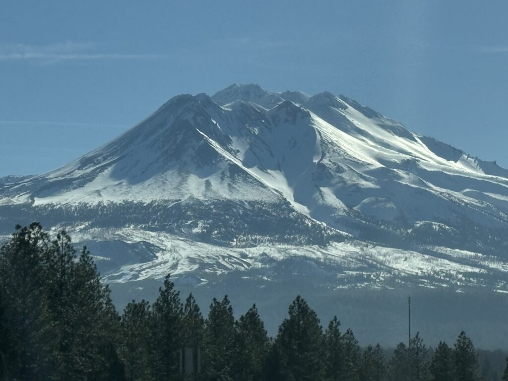
Mount Shasta was still well-frosted with snow. This is a major volcanic mountain, not easy to climb, but it has nice hiking around the base when the snow clears in the summer
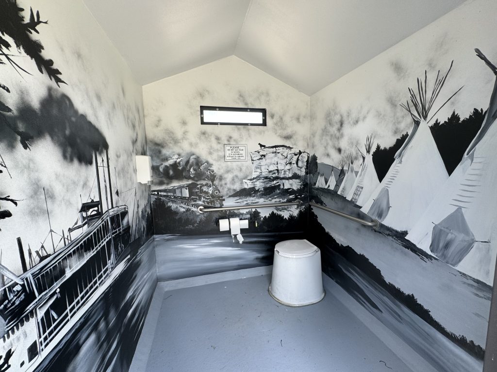
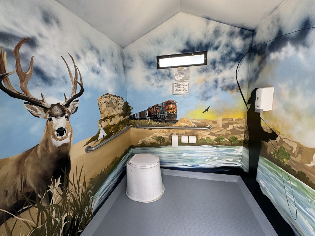
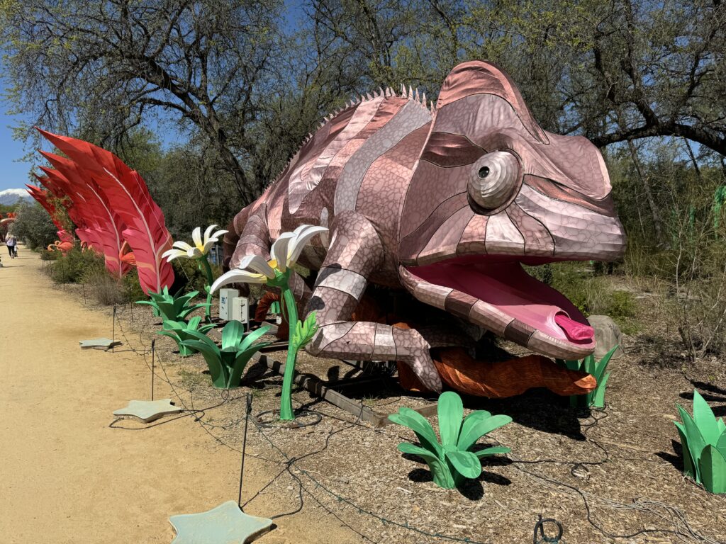
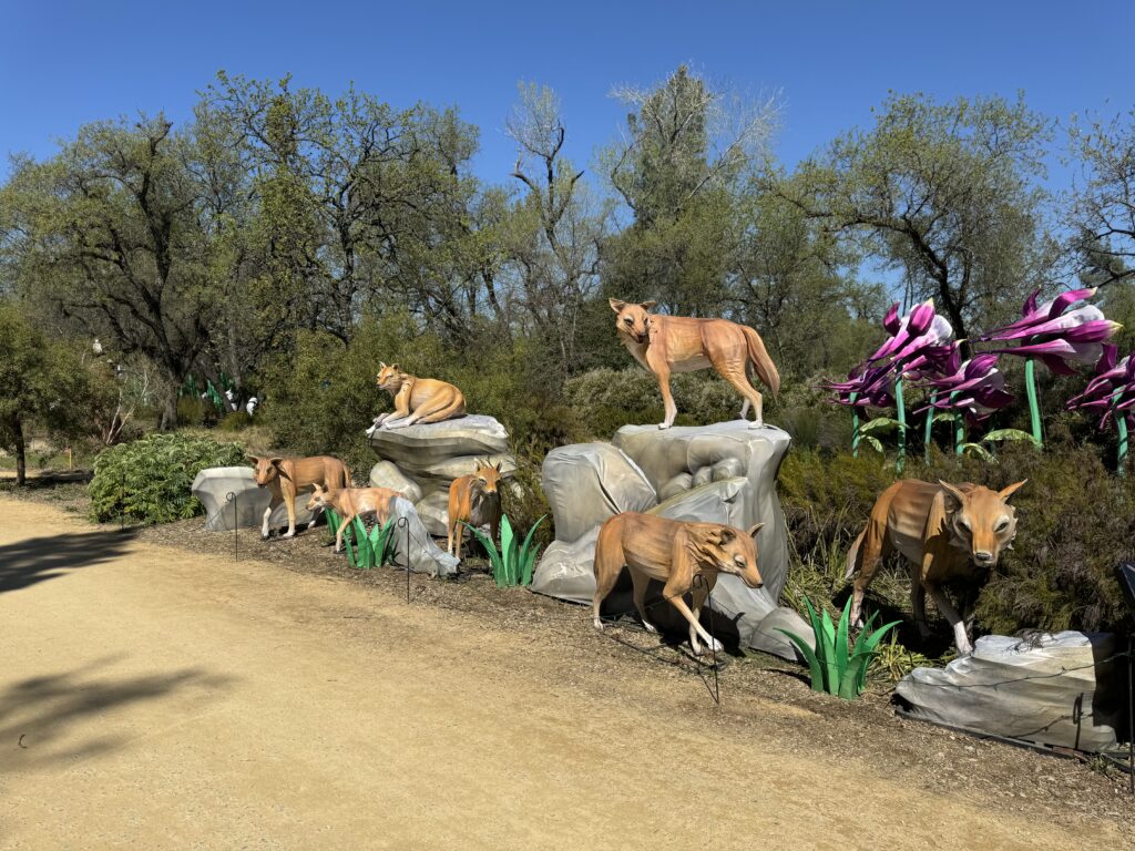
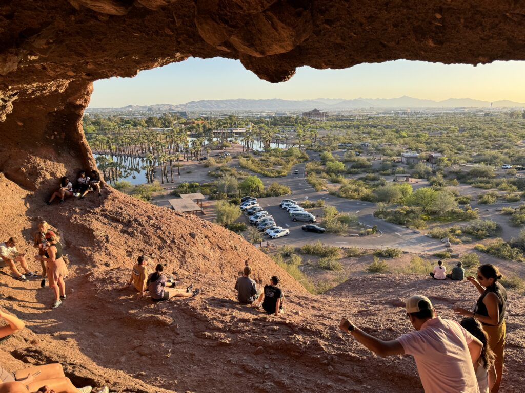
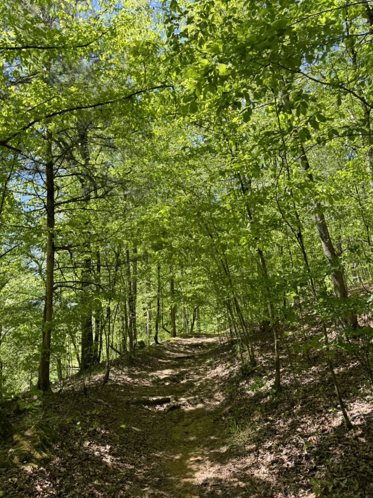
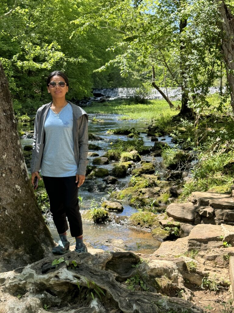
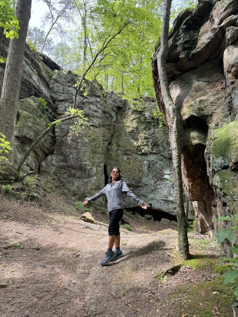
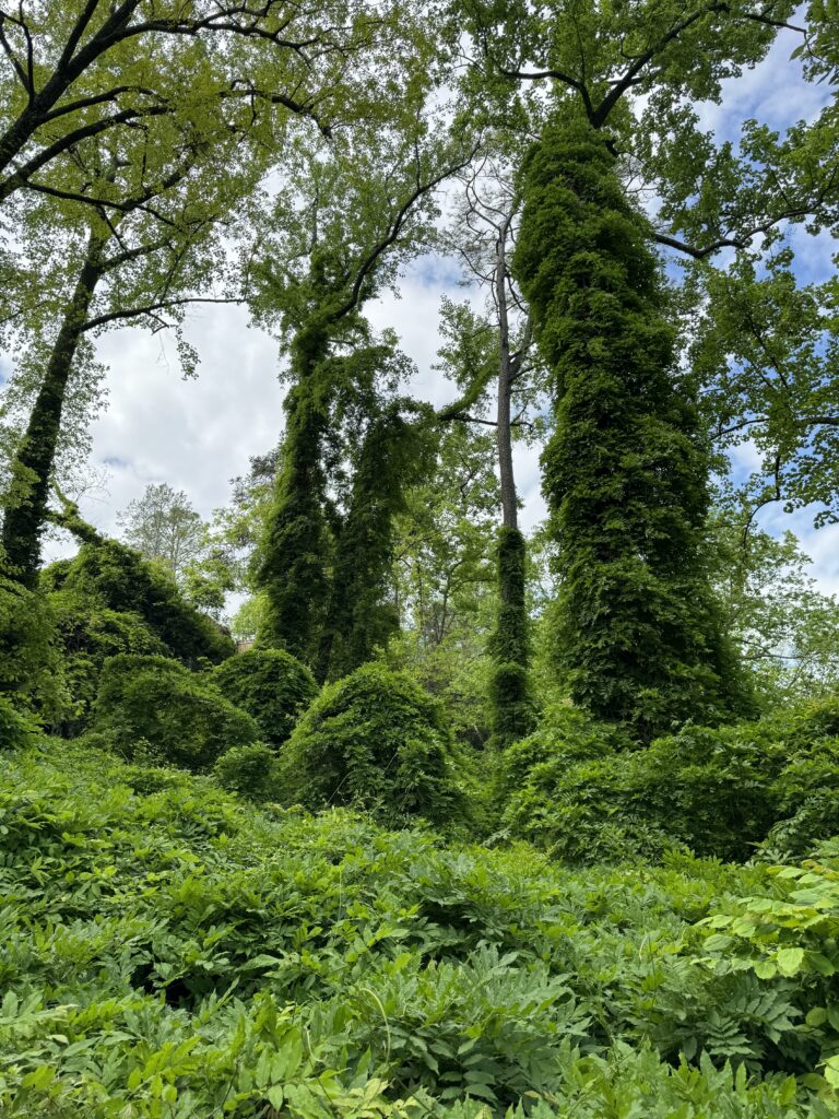
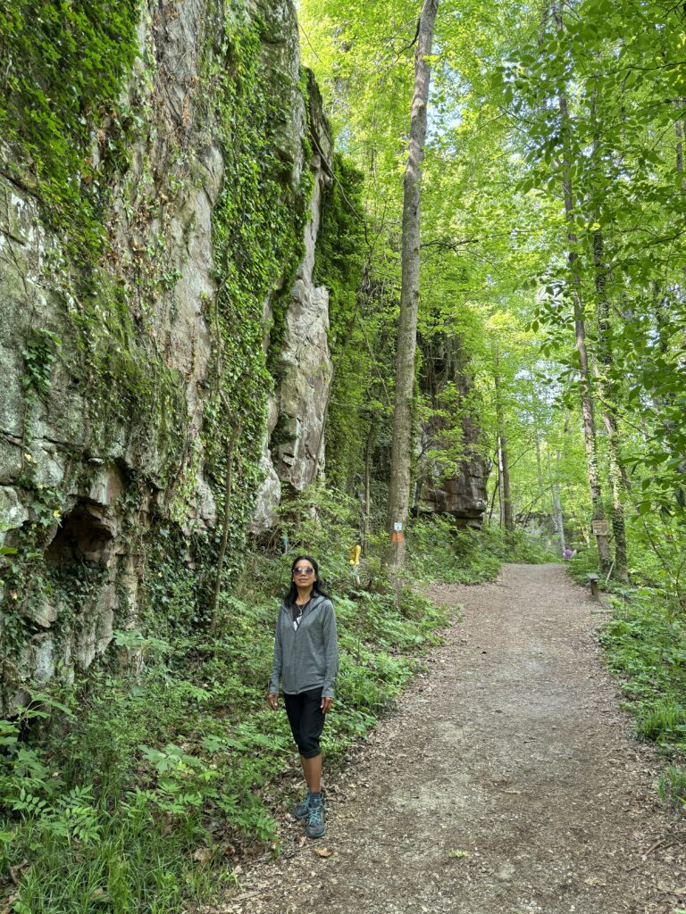
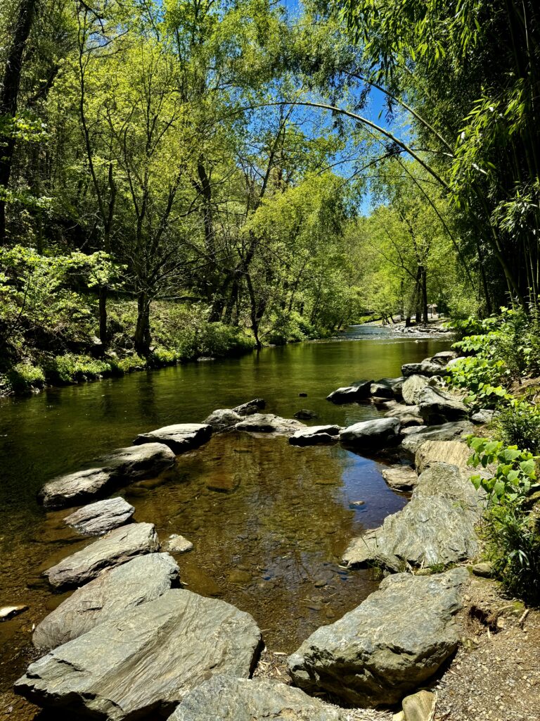
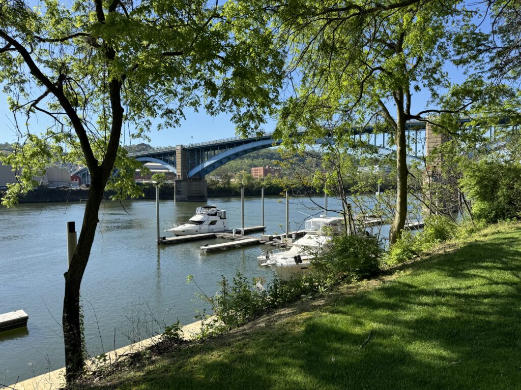
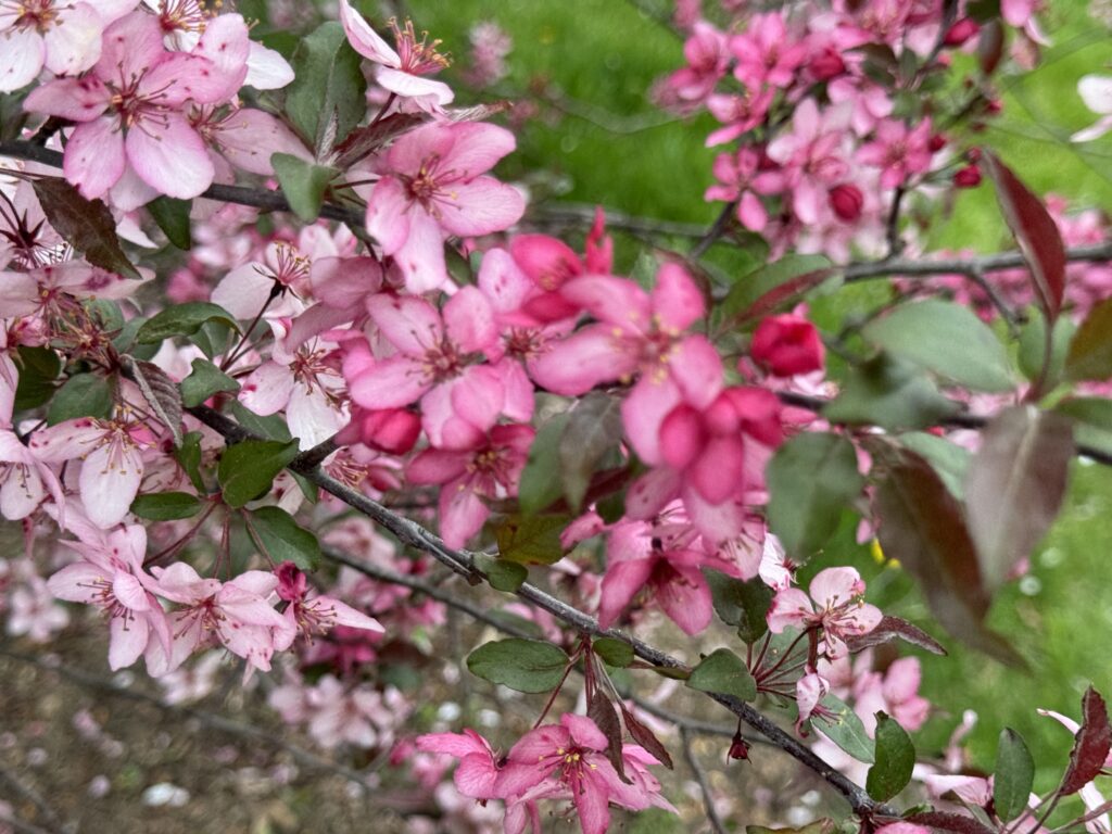
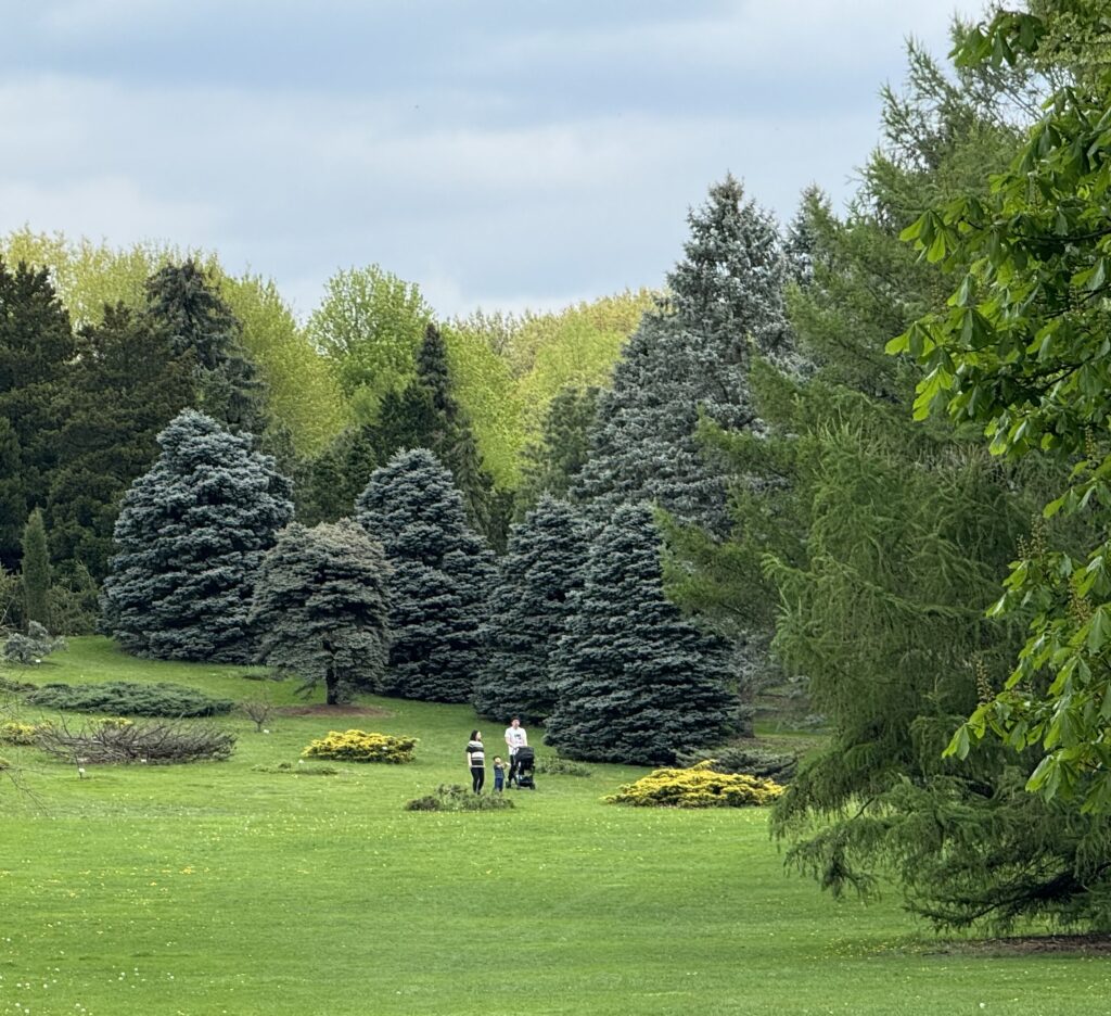
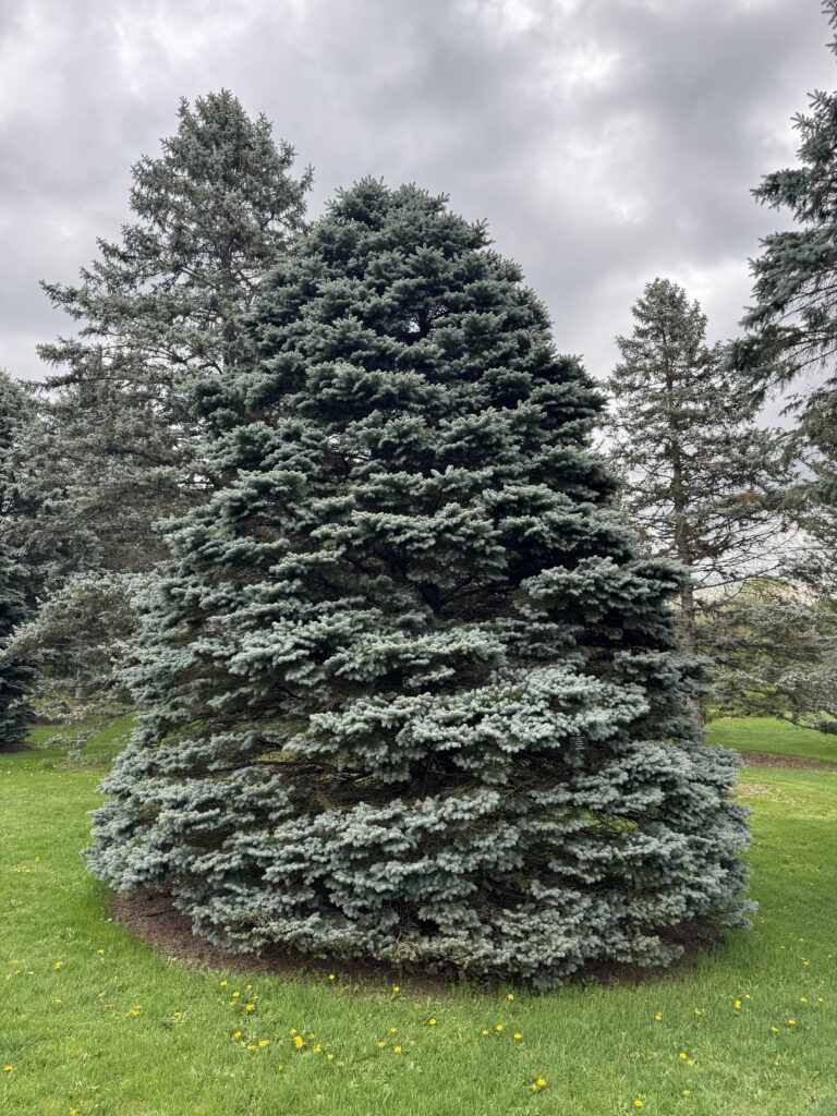
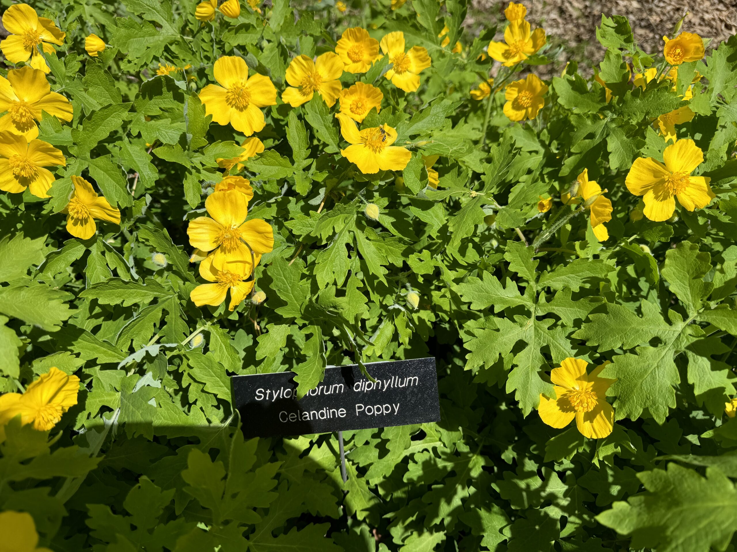
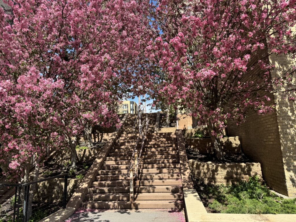
In Redding, California, we noticed a big park just across from the Supercharger, and decided to take a mid-trip 11:00 AM walk. (Gallery pictures can be enlarged by pinching out with two fingers, or tapping on them)
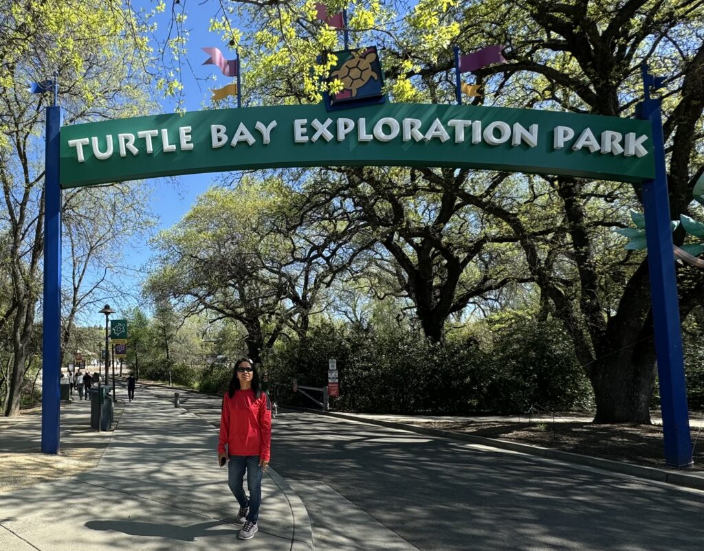
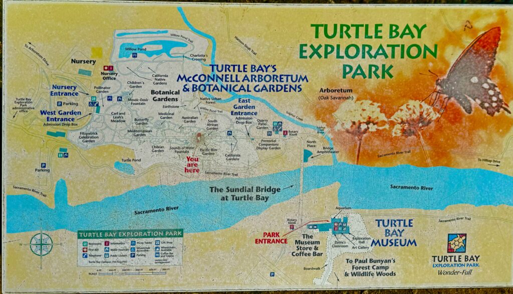
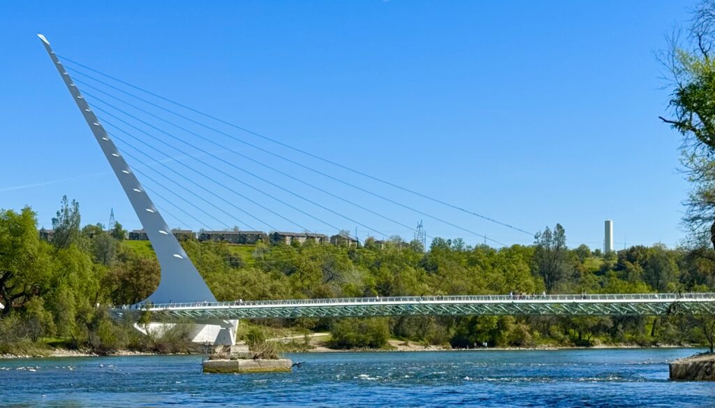

Turtle Bay Exploration Park straddles the Sacramento River. You can walk across the ‘Sundial Bridge’ to the arboretum area. A futuristic cable stay bridge also tells the time by its shadow.
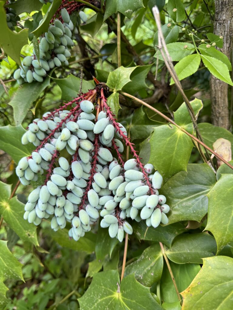
The garden has a dazzling new feature. Hundreds of life-size or bigger animals provide a very kid-popular enhancement that sometimes are lighted up at night. We wished we had the time to just stop for the night and see this, but we were due for lunch with friends in Palo Alto the next day, and had to drive on. This lovely park is worth a visit to Redding, California to see.
Technical data you can skip if you’re not interested in EVs:
Our first day drive: We drove about 2 ½ to 3 hours, going from 80% battery charge to 10%, and then were routed by Tesla to a ‘Supercharger’. The recharge to 80% was projected to take 25 minutes, so I crawled in back where we had set up for ‘camping’, and had a nice short nap. The whole trip took 4 charging stops for 706 miles, and I found that despite the long trip, the periodic stops were good for us, and what would have been an unpleasantly long trip seemed like less. I find FSD a great long range driving assistant. Driving time: 11 1/2 hours. Recharging: 1 ½ hours total. 1 hour lunch break and walk in Redding, CA. Electric cost from Superchargers: $90.00. 12.75 cents per mile, which is the equivalent of 41 mpg. If we had driven our Jeep, gas would have cost $93 more for the trip.
Driving at 77 mph most of the way, we got 2.9 miles per kwh. Average cost per kwh: 37 cents (vs. 8.7 cents on hydro power in Amboy charging at home) The electric cost was about half that of the cost of gas to drive my Jeep here ($90 vs $183), with gas at $5.20 a gallon. If gas was $2.60 a gallon, the cost would have been the same! So high on the road charger electric prices cut the cost benefit of TVs a lot.
In many areas, the max cost benefit is commuting, charging up at home overnight at off-peak prices. With the 8.7 cents per kwh electricity at home in Amboy, WA, that gives you the equivalent of 173 miles per gallon at current gas prices. So if you commute, an EV pays for itself quickly. Not so quickly if you live where electricity is expensive.
It is our goal to keep the rest of our trip unhurried and unscheduled so when we find a beautiful place, we just stop and enjoy it for as long as we want.
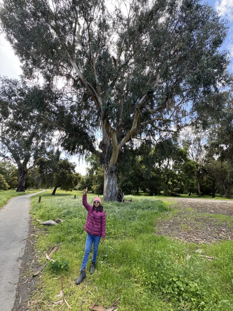
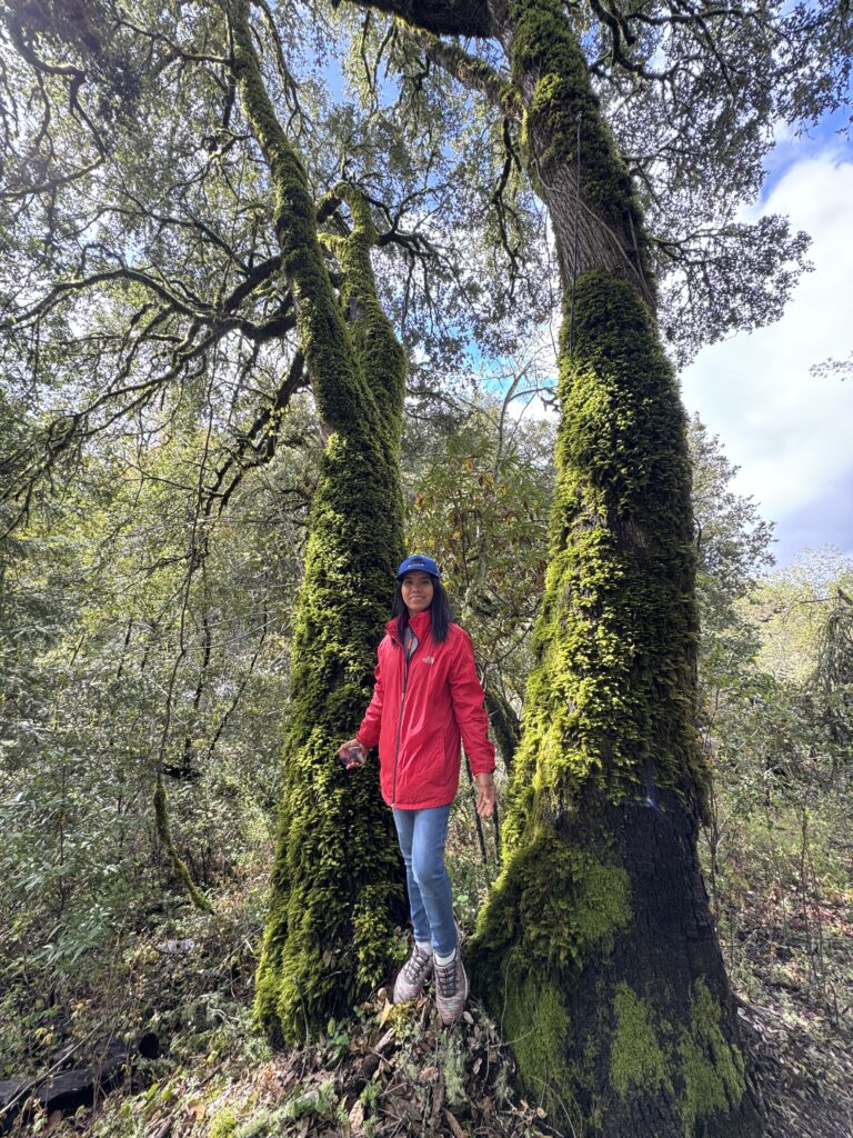
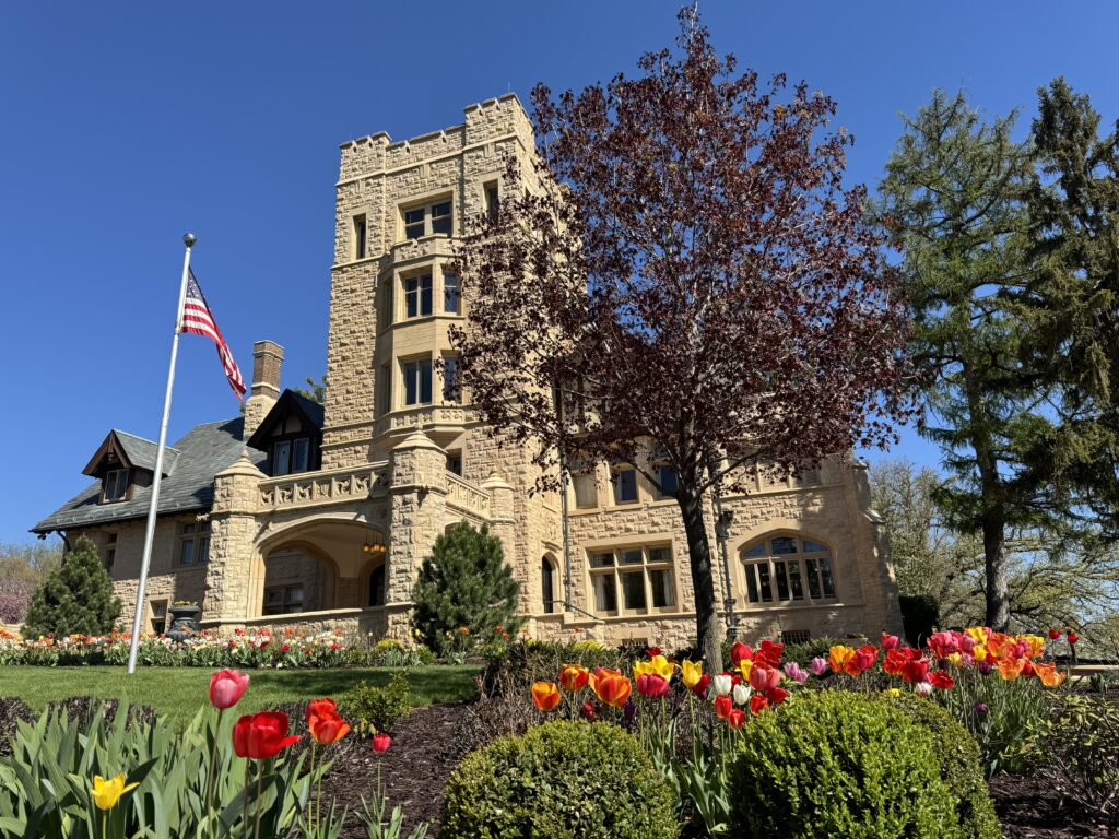
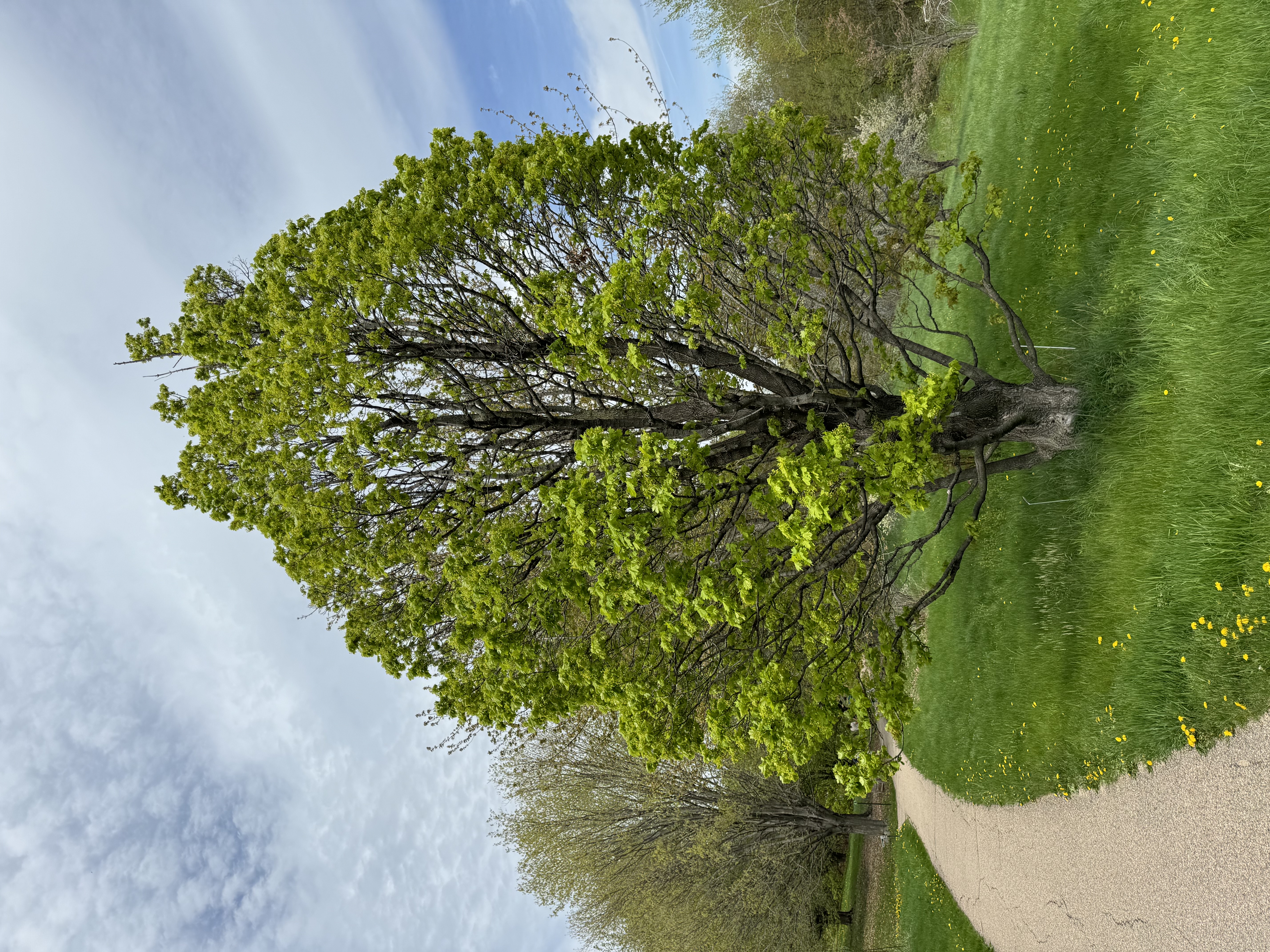
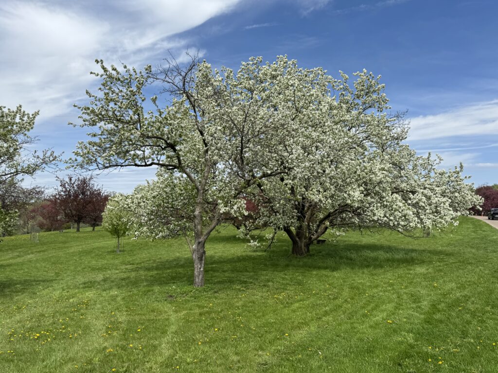
We stayed five nights in Palo Alto, visiting family and giving our jetlag time to go away. I’m still discovering corners of the Stanford campus I was too busy studying to explore. There are beautiful wooded areas, lots of trails: We walked through a grove of very old and huge eucalyptus trees.
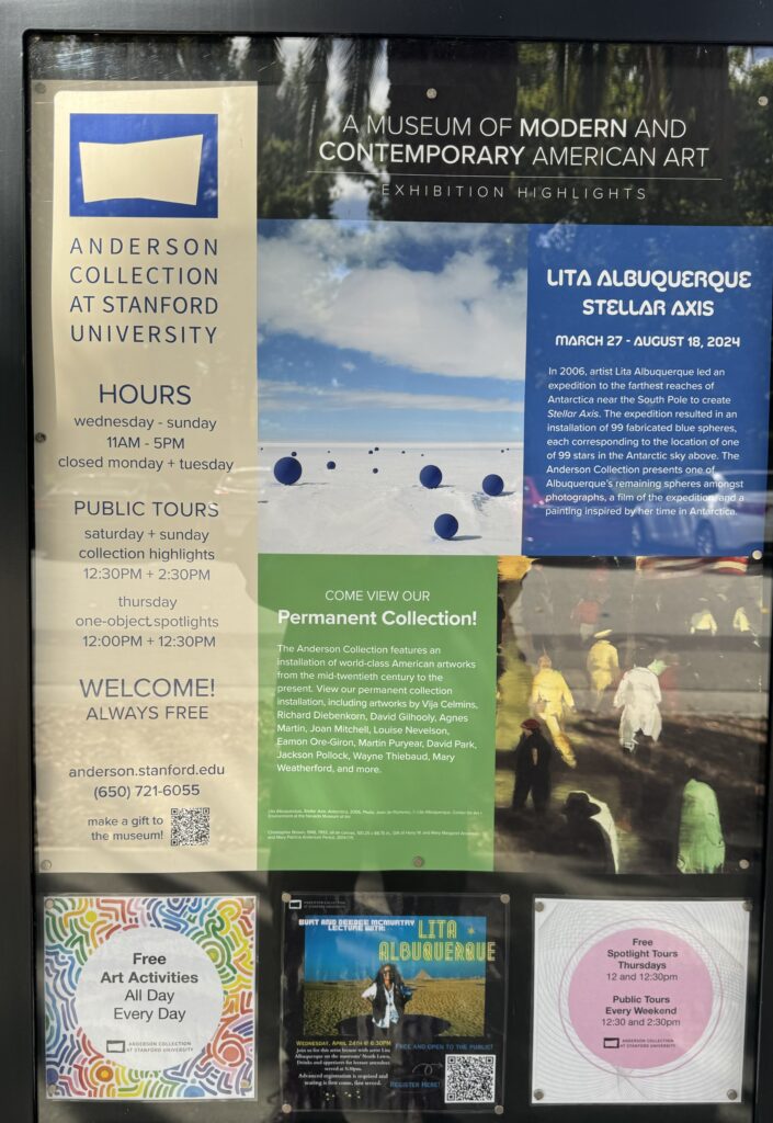
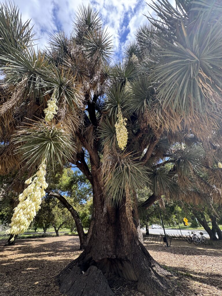
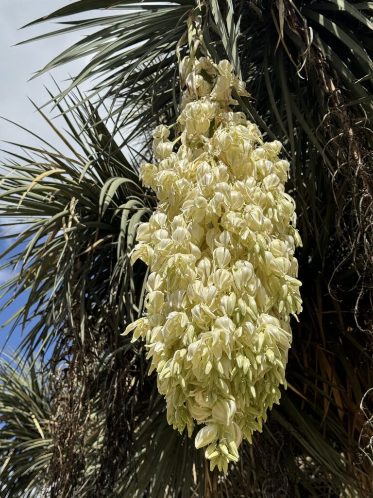
A desert plant area with a 130 year old Yucca plant. There are several free art museums, including an outdoor Rodin sculpture garden.
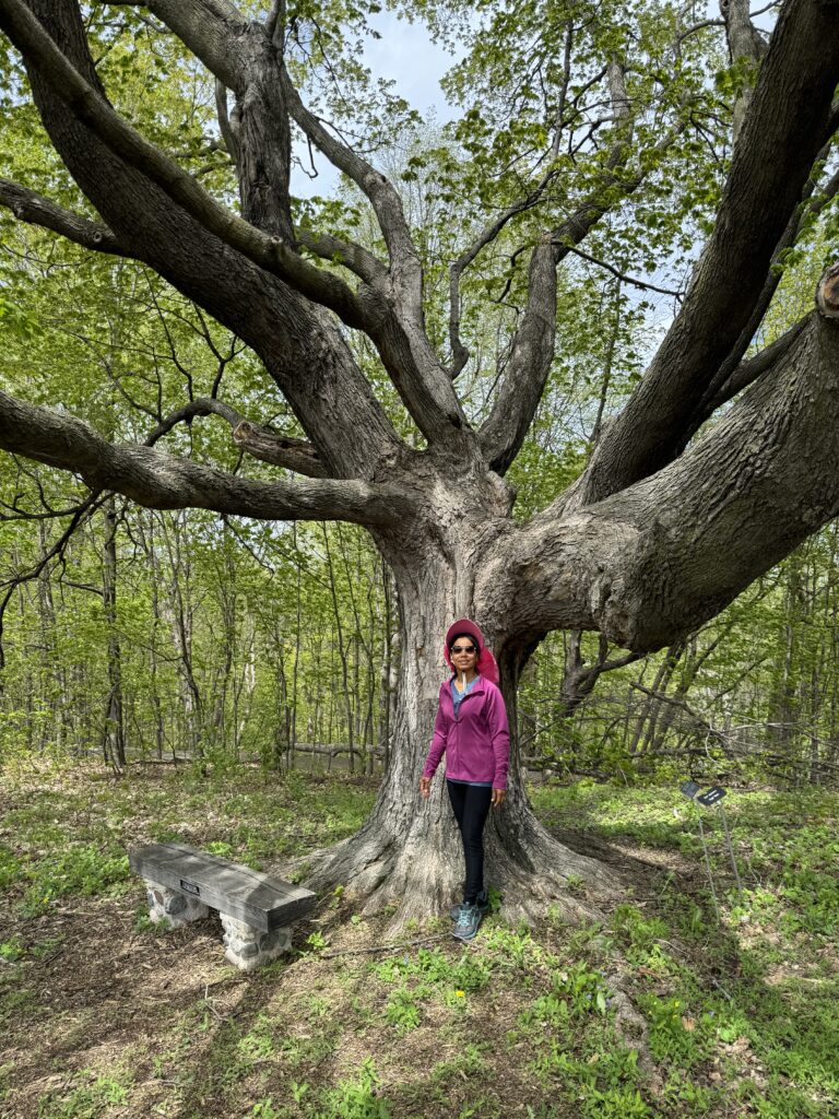
Another local favorite for me is the Ancient Oaks trail up on Skyline:
Next drive: Palo Alto to Pasadena, CA, 361 miles.
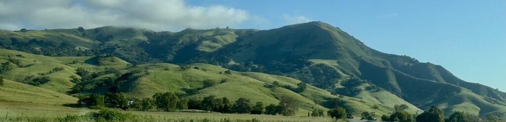
Along the way, on the Pachecho Pass highway. California is vivid green in the spring.
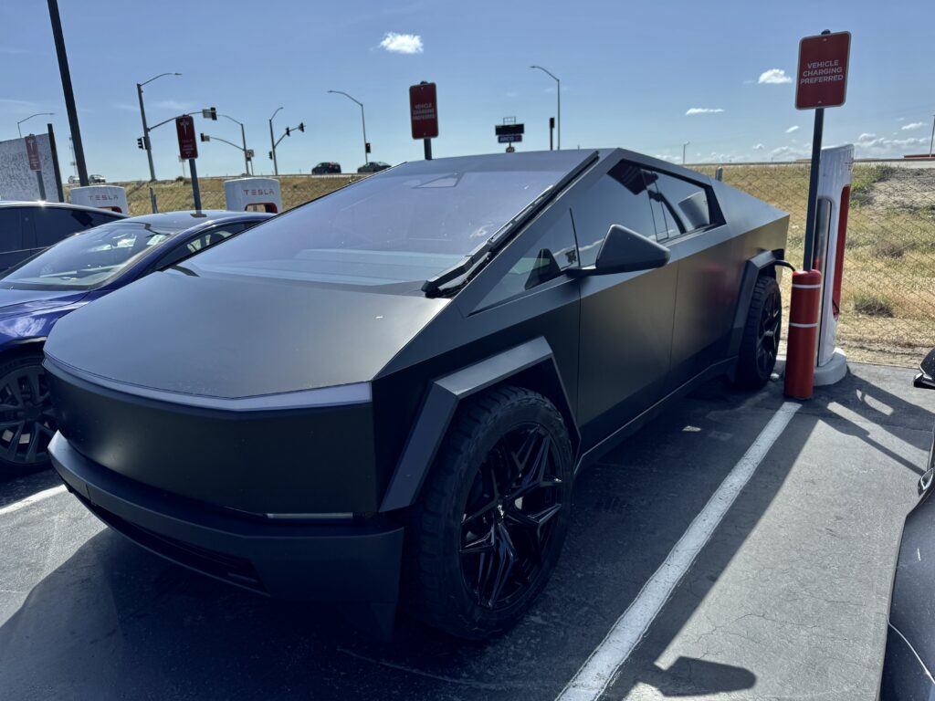
Seen at a Tesla Supercharger. Someone bought a Cybertruck 2 months ago, and apparently had it painted black. Dramatic! People will love it or hate it. I think I’ll stick with my Jeep Rubicon.
We’ll be on our way to Joshua Palms National Park, but don’t want to drive that far in one day, and I like Pasadena, so we’ll overnight there. Pasadena is a lovely city, with Huntington Library and Arboretum, one of the best arboretums in the world in my experience. We’ll visit the home of one of my nieces who lives nearby in Glendale.
Huge Sycamore trees in Glendale
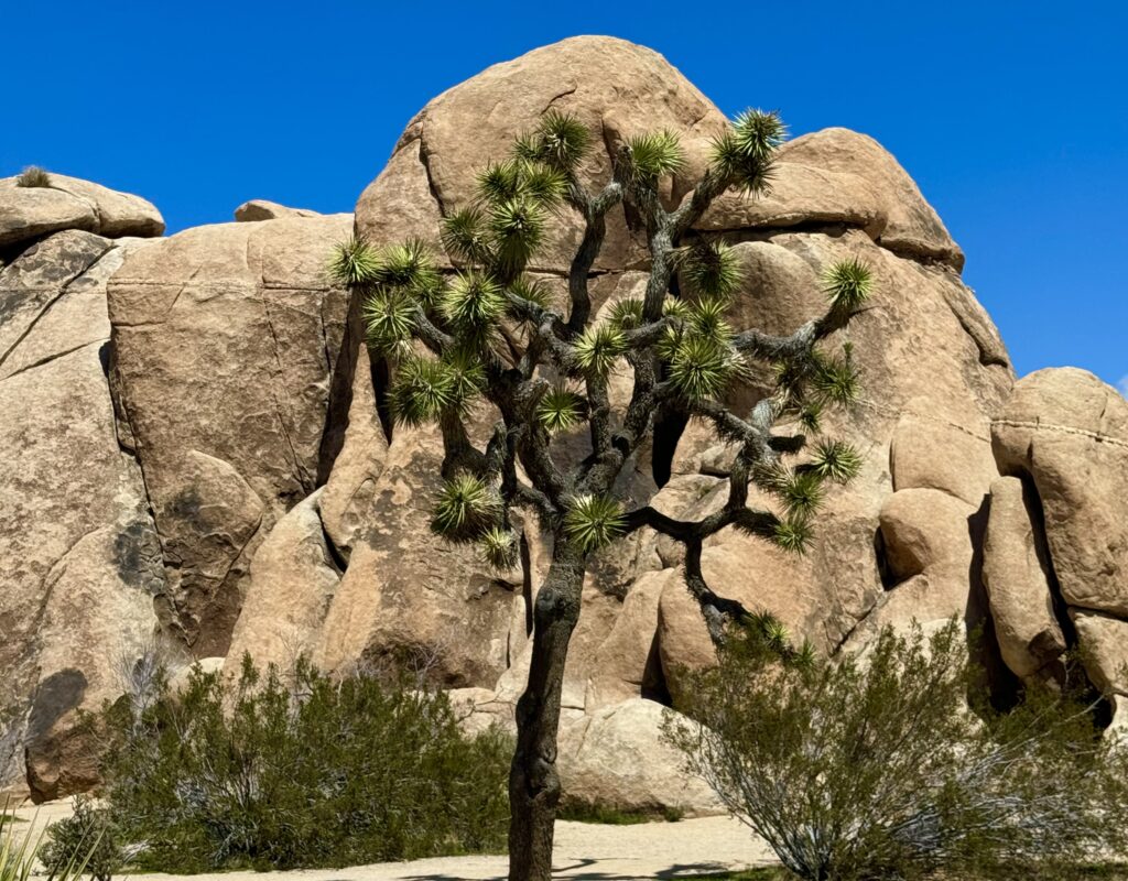
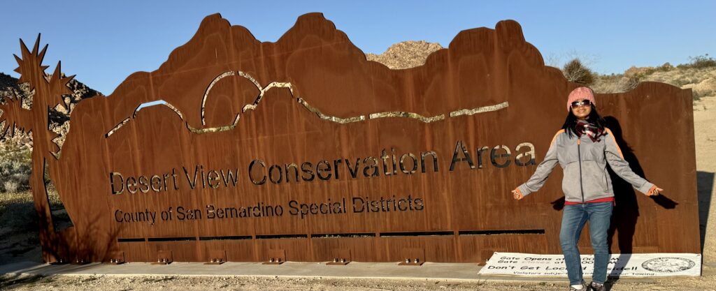
Next day, on via San Bernadino to the high desert to visit Joshua Tree National Park.
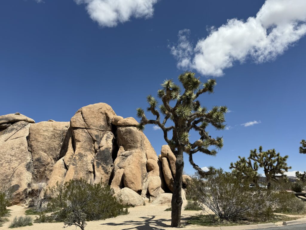
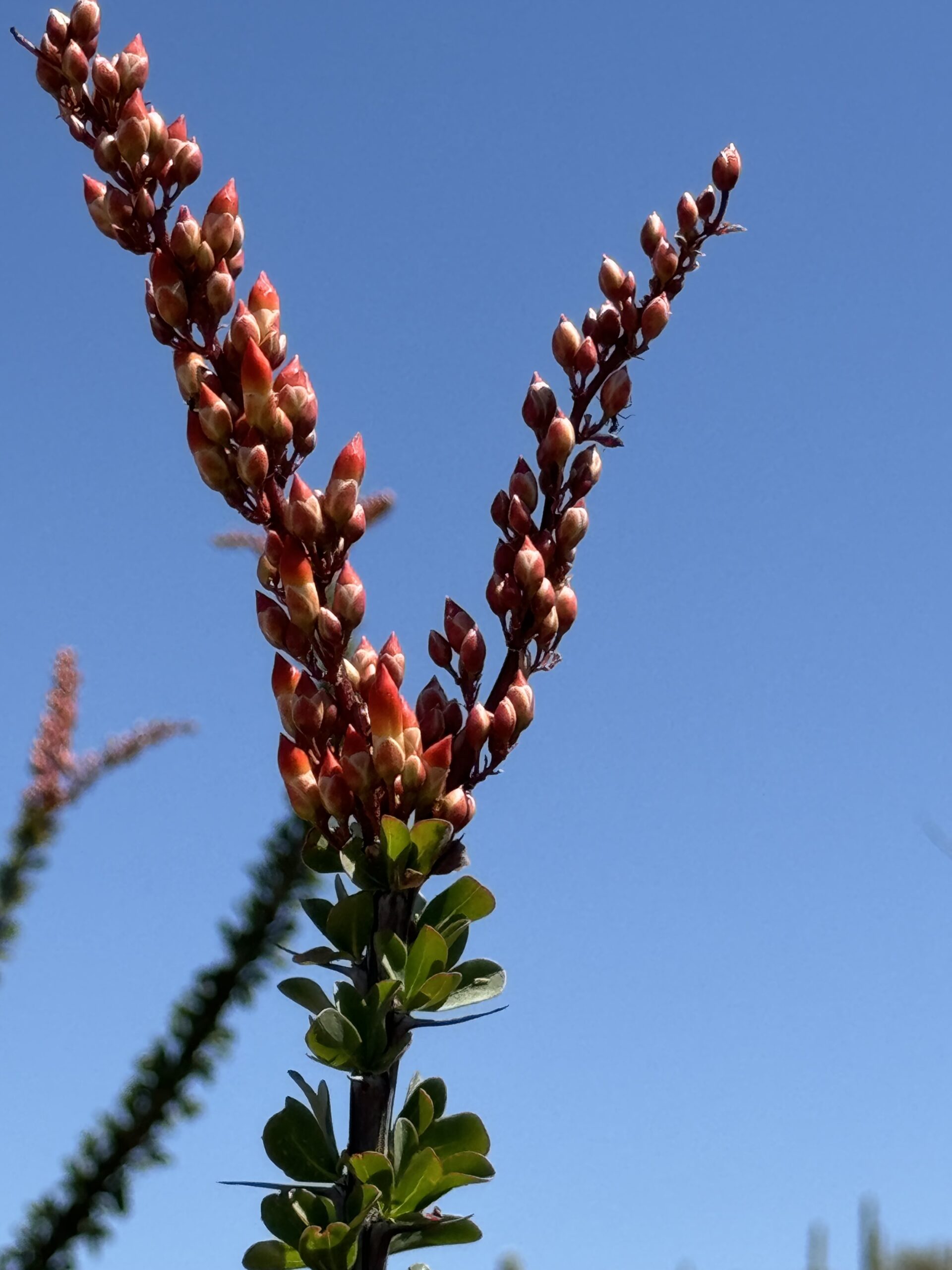
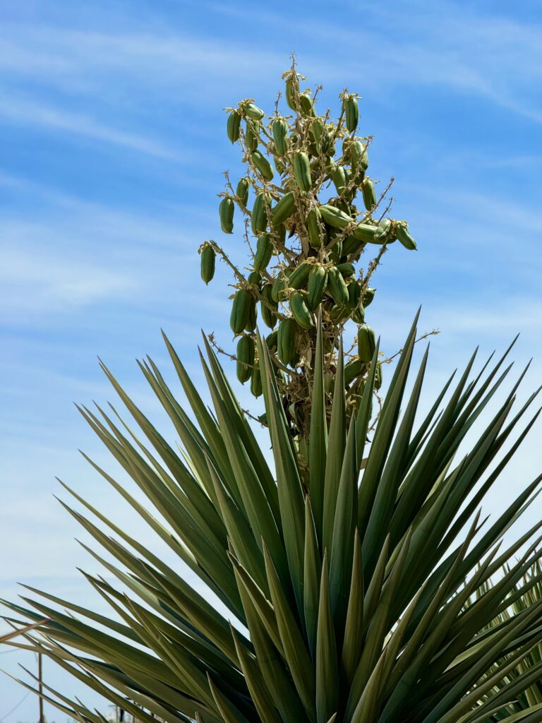
Joshua Trees are a type of Yucca. Mormon settlers named them that as they thought they looked liked Joshua beckoning the Israeli’s across the desert.
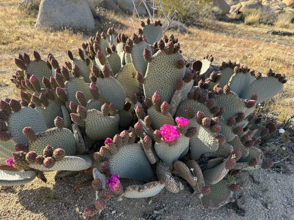
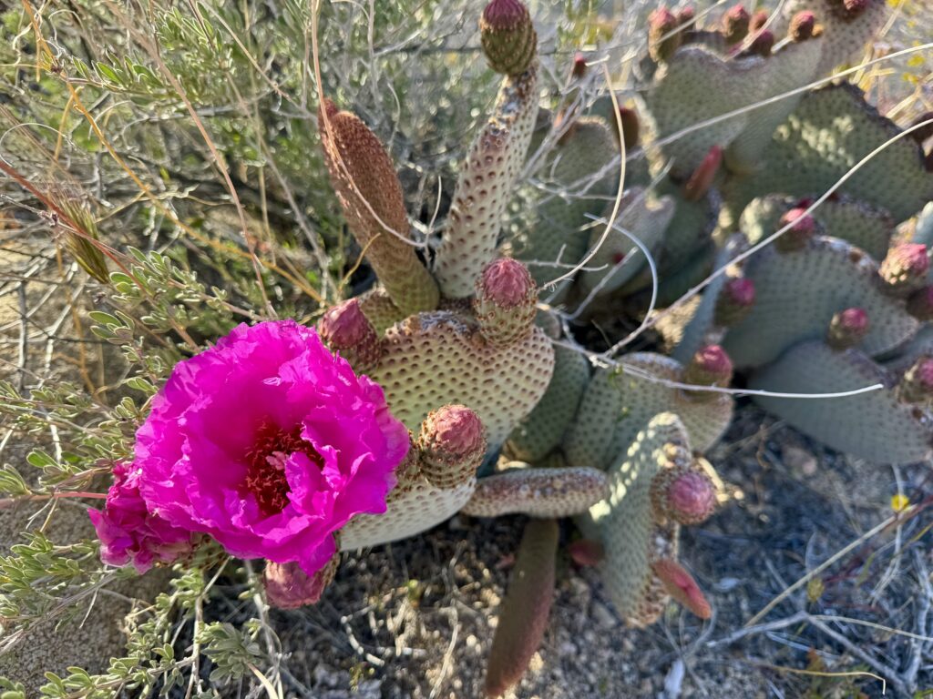
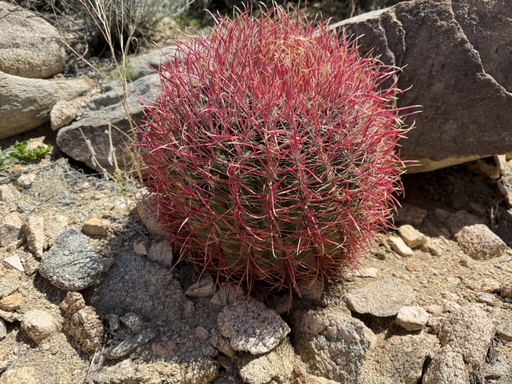
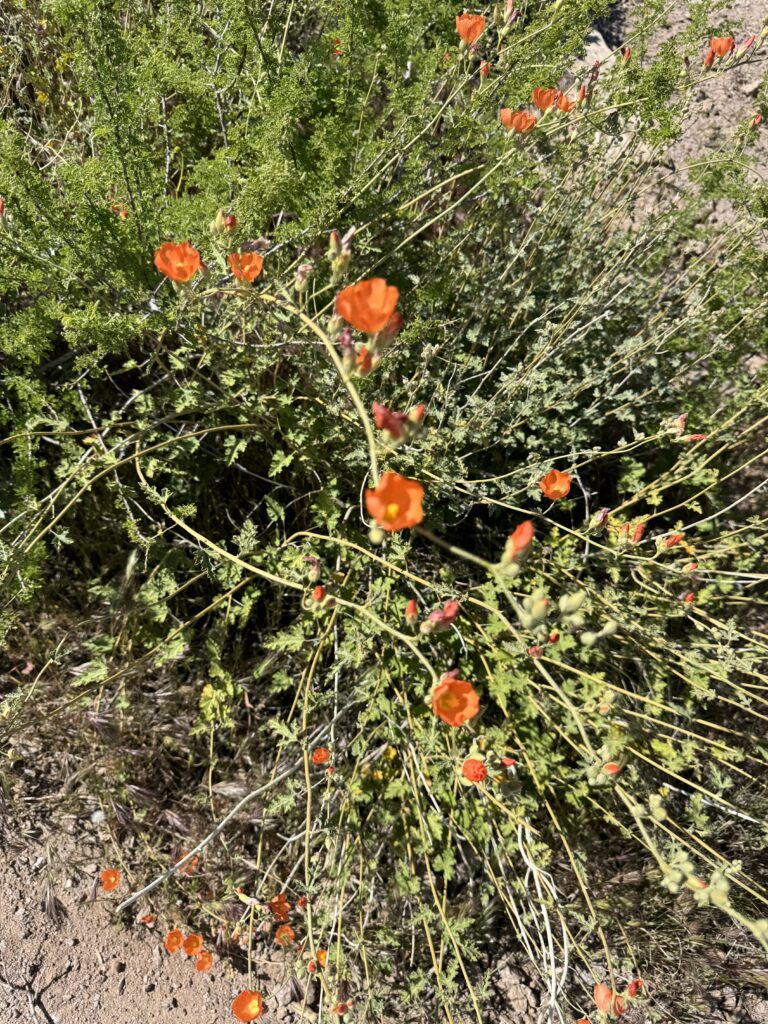
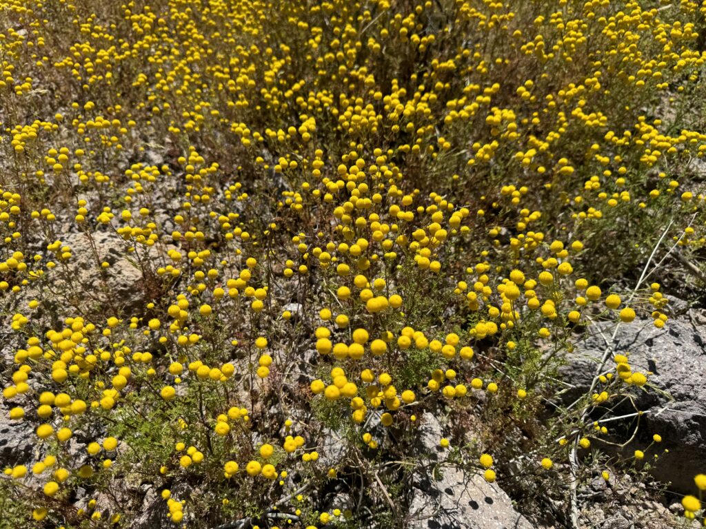
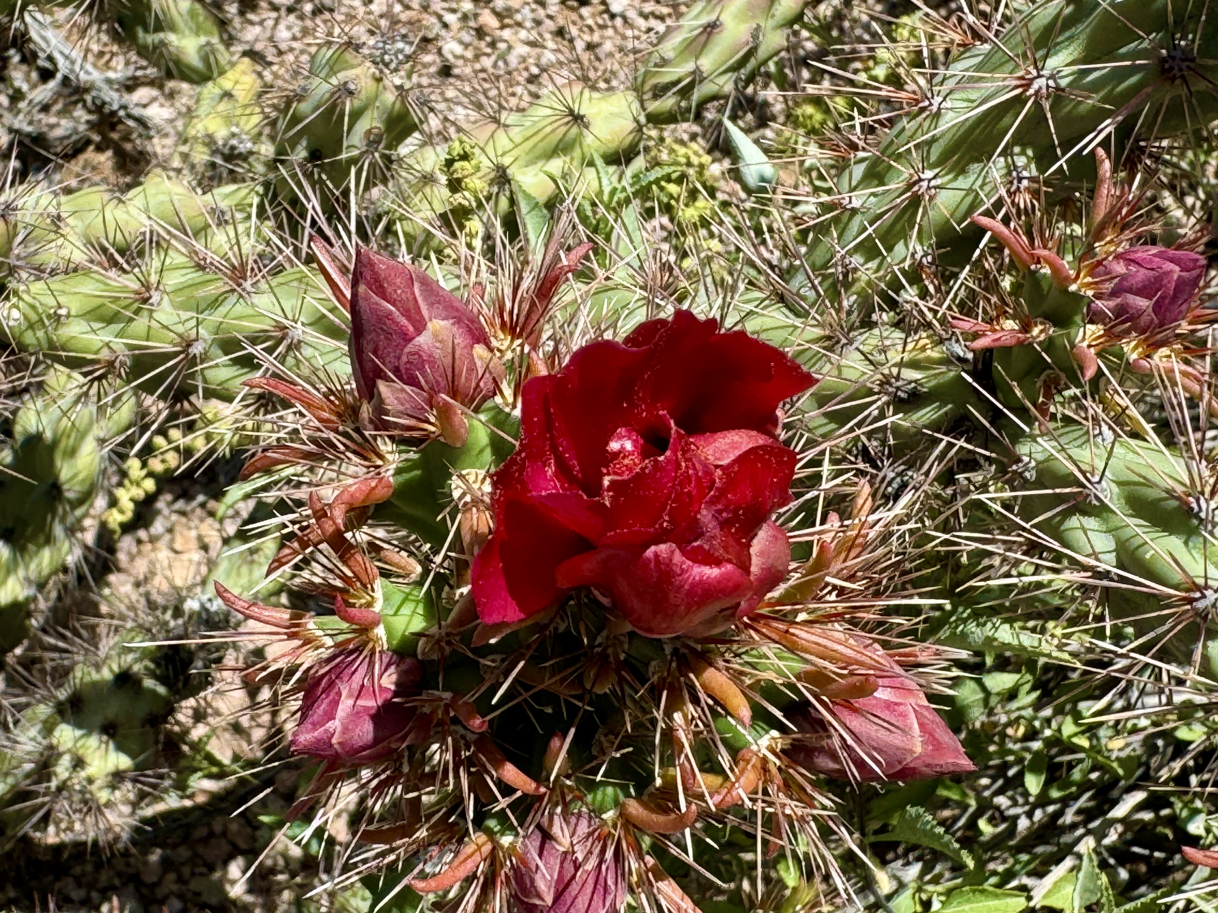
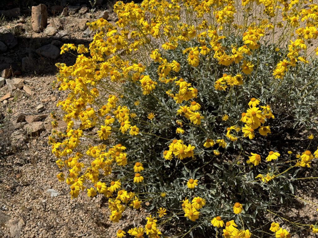
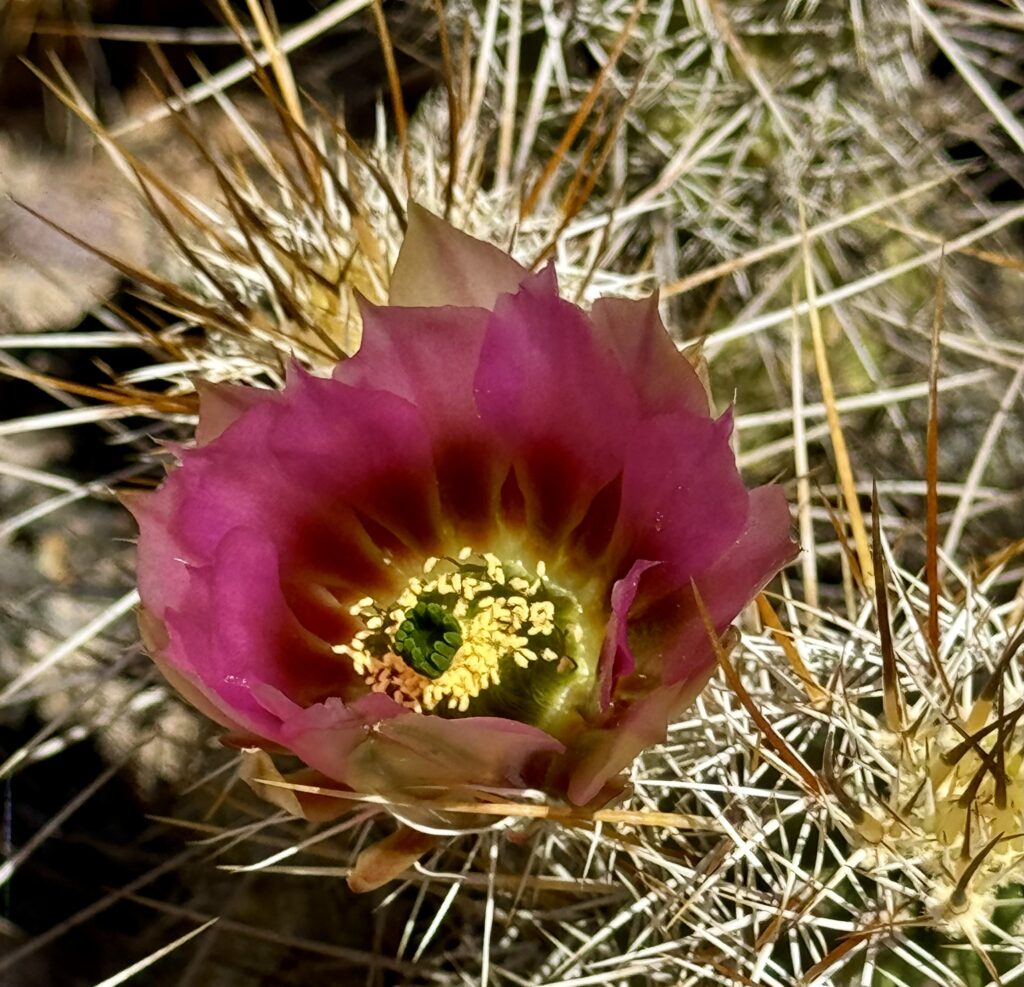
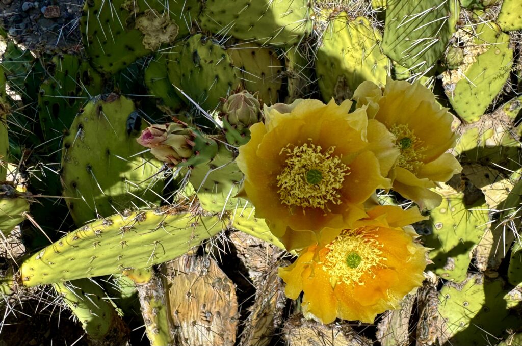
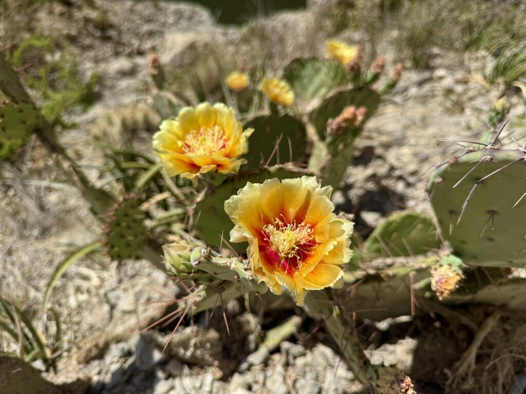
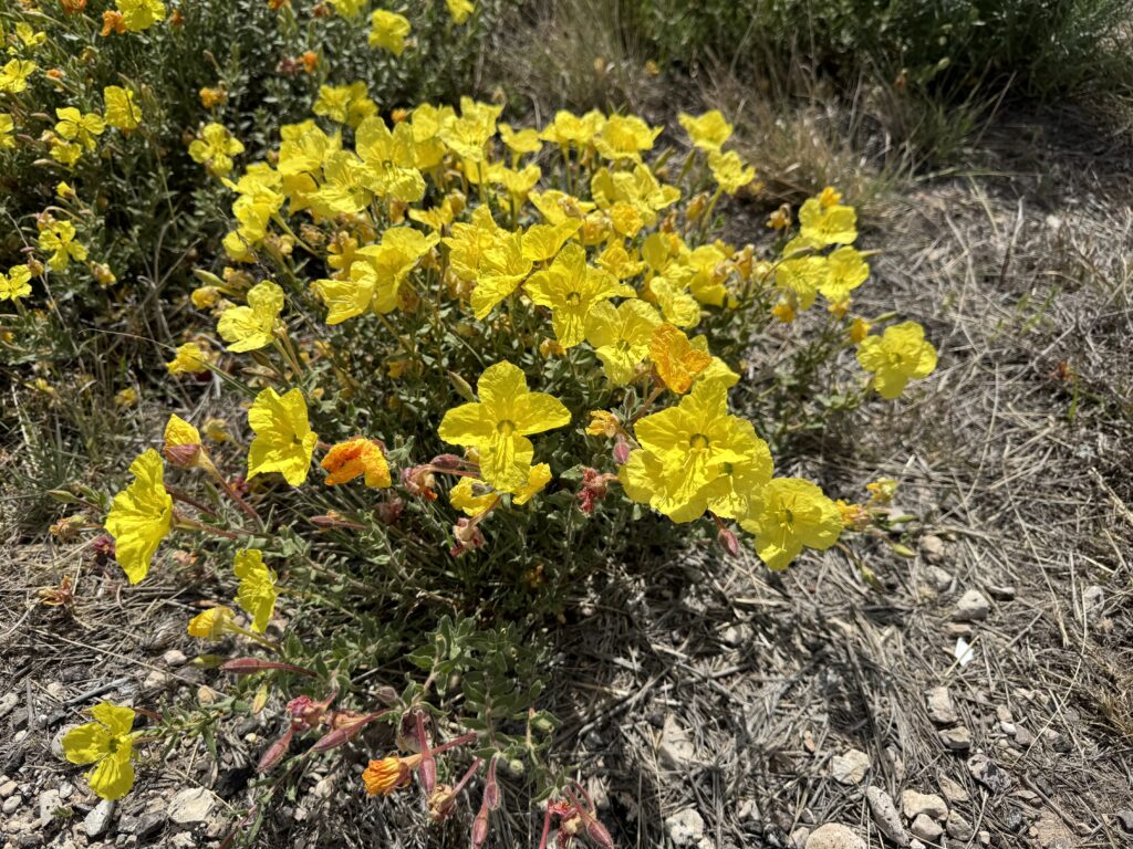
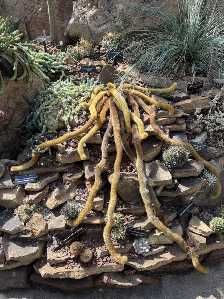
Cactus bloom in the spring
We overnighted in Joshua Tree (town) nearby. Our evening walk in local park. Didn’t see any desert tortoises, though, but lots of wildflowers.
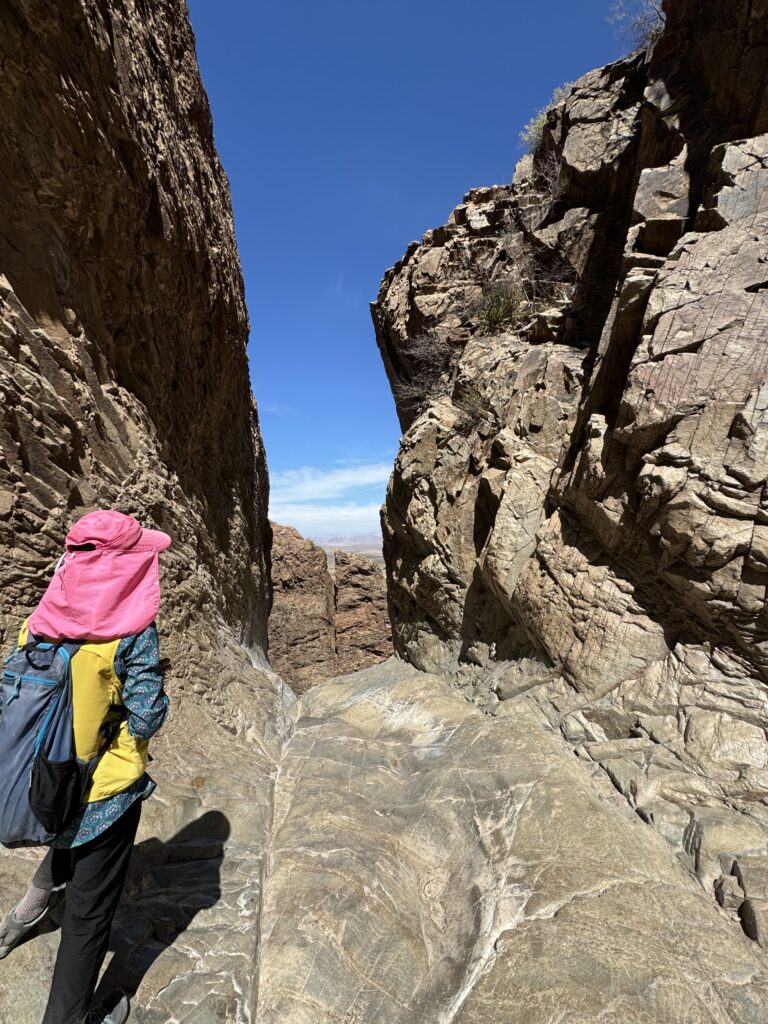
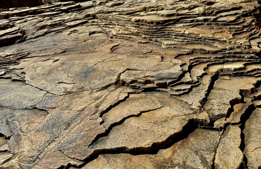
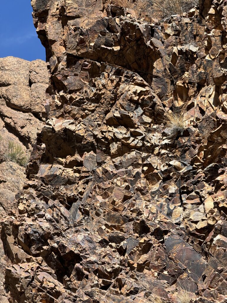
Had a couple of nice hikes in the National Park on our second day. It is not what I expected. To paraphrase the Ikea joke, we came for the Joshua Trees, but stayed for the gorgeous rock formations. Very different from the red sandstones of Utah, they are predominantly gneiss, which before metamorphosis began as granite. The rock has a yellow color and when weathered, lots of surface quartz crystals, making for good traction for clambering up the rounded piles of rock.
We’re now at 1,500 miles on the trip odometer. Time to drive 300 miles to Phoenix, AZ, continuing our eastward exploration.
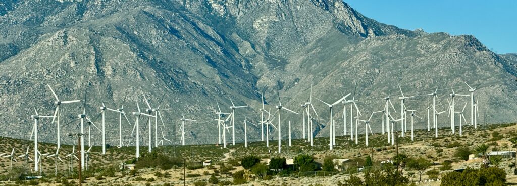
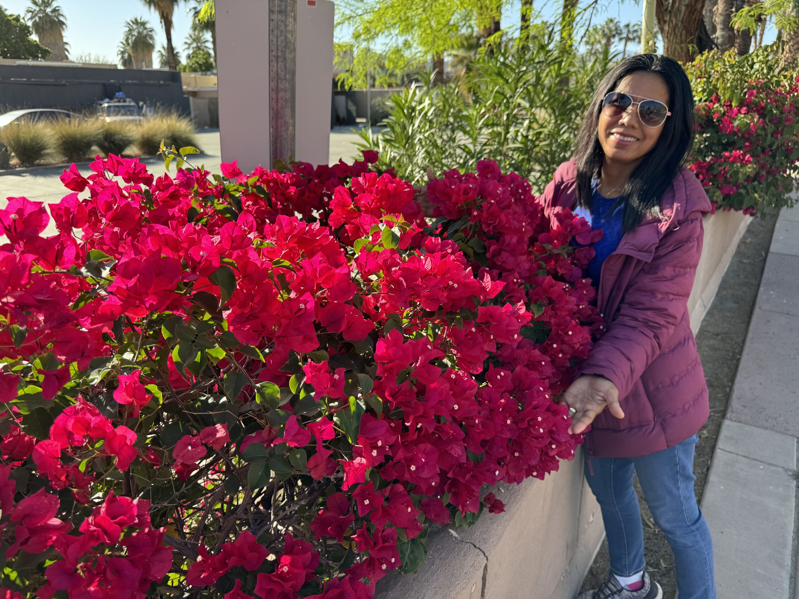
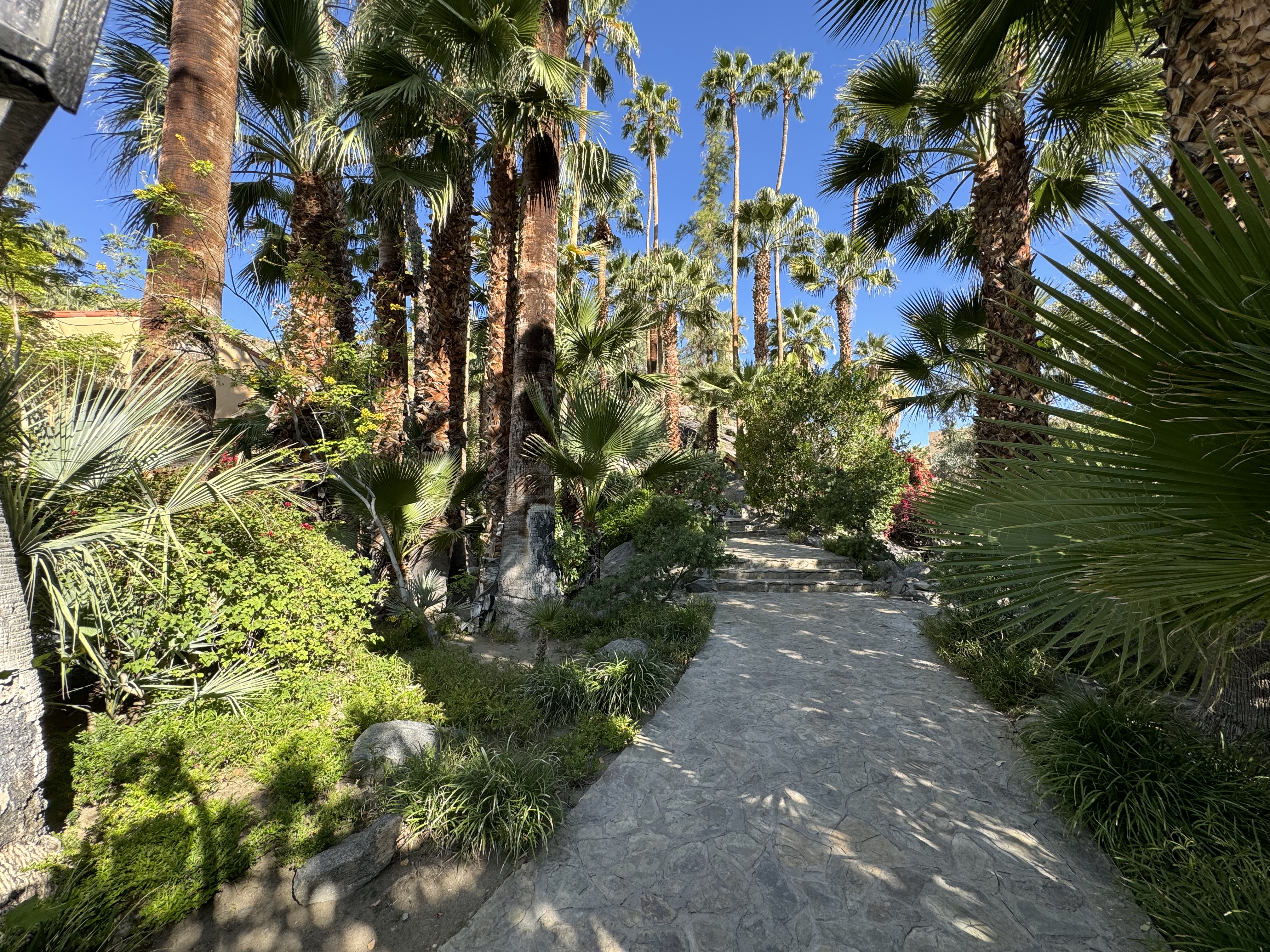
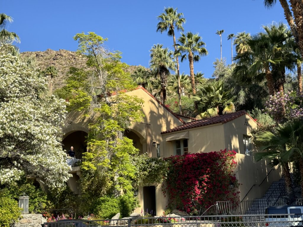
On the way, we stopped to walk around Palm Springs, winter playground for Hollywood movie stars for many years. On the way in, you pass through an enormous array of wind turbines, more than 4,000, producing enough electricity for several cities in the area.
Four hours drive later, we arrived in Phoenix in the middle of mid-afternoon rush hour traffic. Ugh.
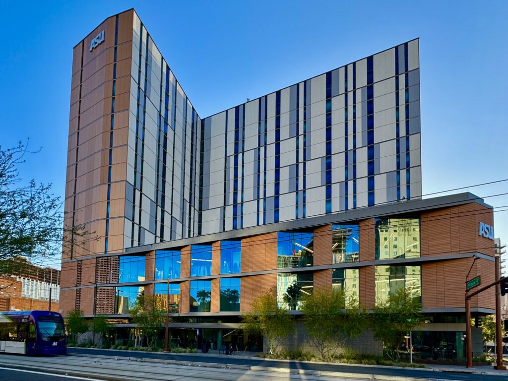
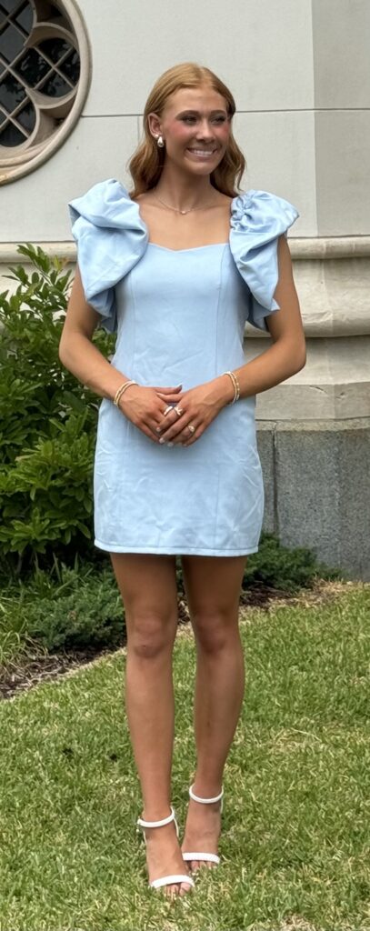
First stop in Phoenix: Arizona State University, ASU, to visit my grand-daughter. This is an ASU hi-rise dorm downtown. An urban campus. You may have noticed I”m not including family pictures. That’s because these days, not everyone is eager to put themselves on display on the internet, for various good reasons. I exempt my wife and myself, as I became a public figure when we published Hawaii books for years. No one is likely to want to make an AI deep fake of me!
This is my first time back to Phoenix since I began glider flight training south in Maricopa County in 2017. I was surprised to learn that the metropolitan area is the fifth largest in the USA at more than 5 million residents. It’s a bit like Los Angeles, sprawling wide rather than building high. And in a rather cool early April, it is the first warm spot on our trip. 60°F in the mornings, 85°F later. We rather enjoyed it. Best to not be here in the summer when it can hit 110° plus for multiple days.
The vast Phoenix area from Hole in the Rock at Papago Park, a favorite sunset watching spot.
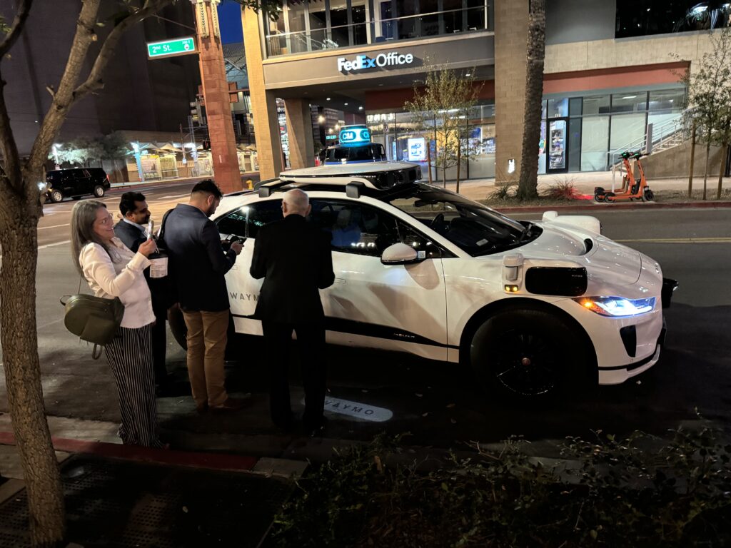
Phoenix is one of sites where Waymo is testing robotaxis. You can see many of them whizzing around, driverless. You can call one via an app, and they are popular. I had heard they were rather slow, but they seemed to me to be going as fast as any other traffic. The future is approaching…I’m not sure all the Waymo rotating radar sensors will be needed as the technology advances.
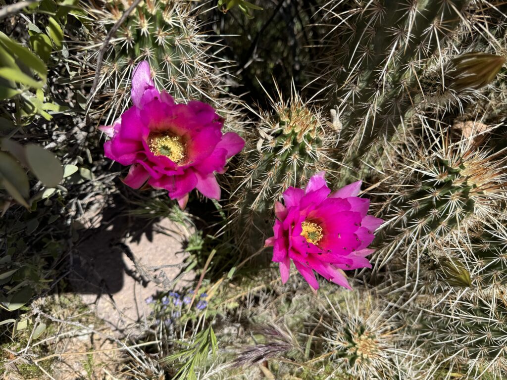
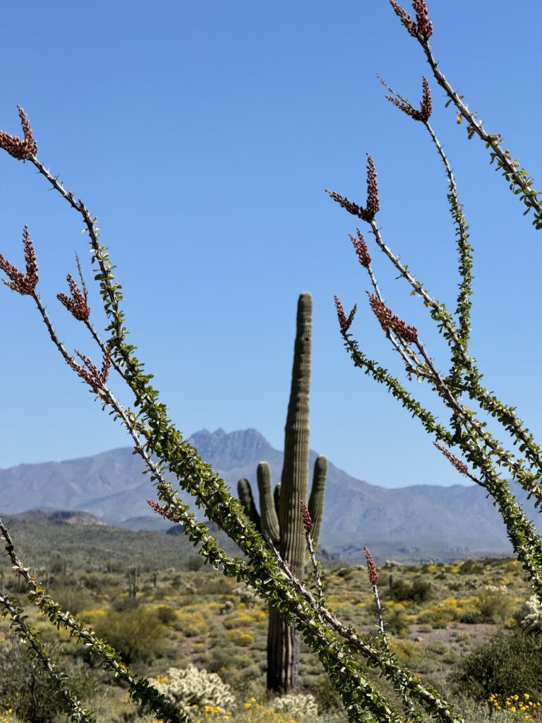
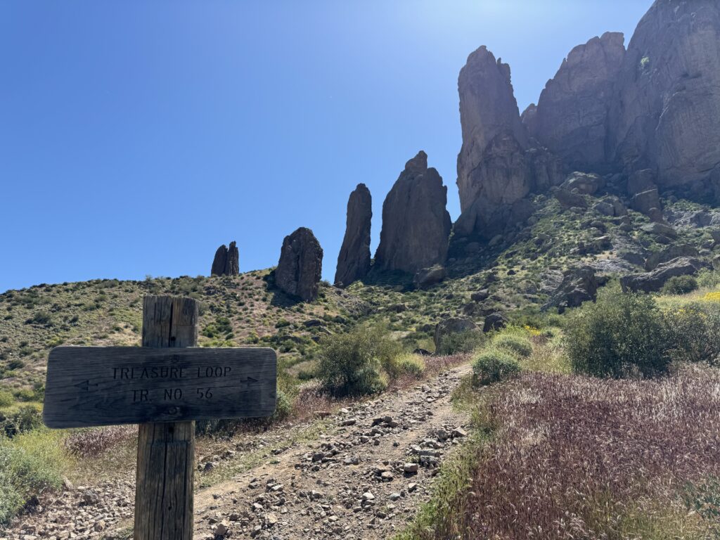
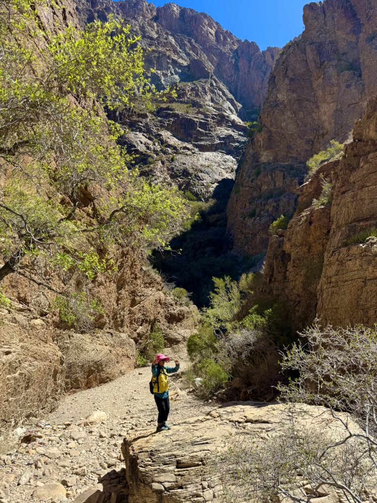
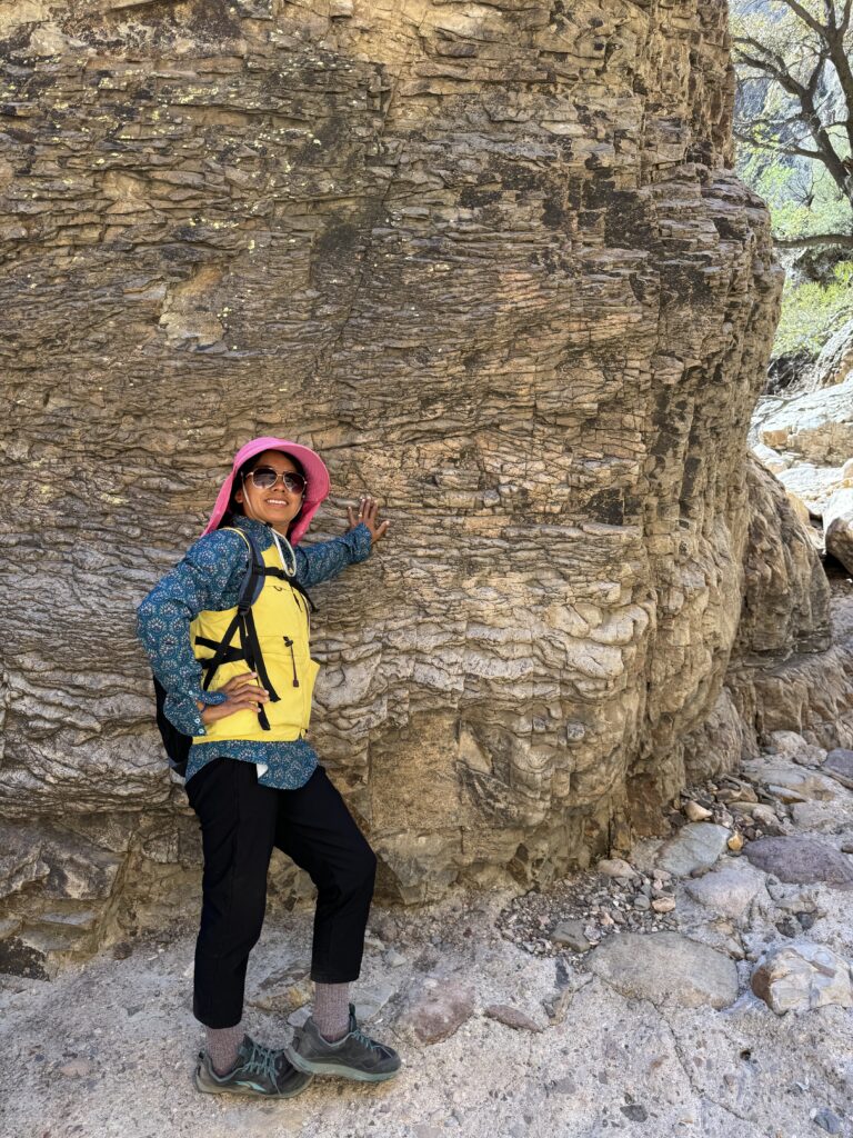
Next day, we went to hike in the Superstition mountains, via Lost Dutchman State Park 30 miles east of Phoenix. I had hiked there twice in 2017 during breaks in flight training.
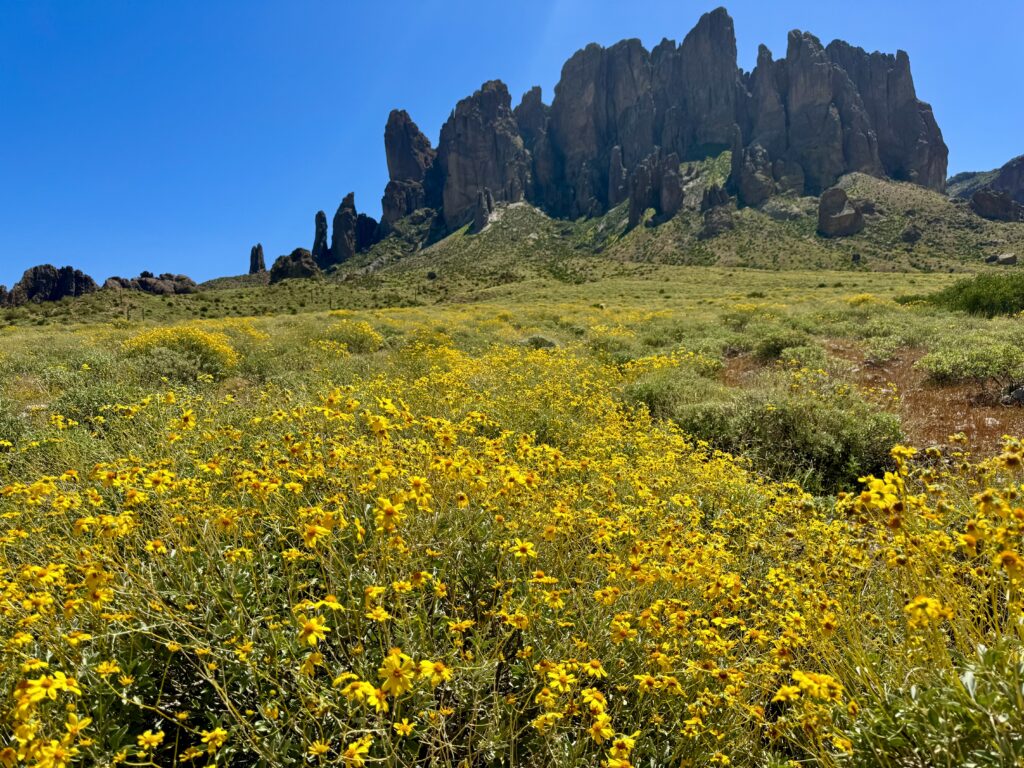
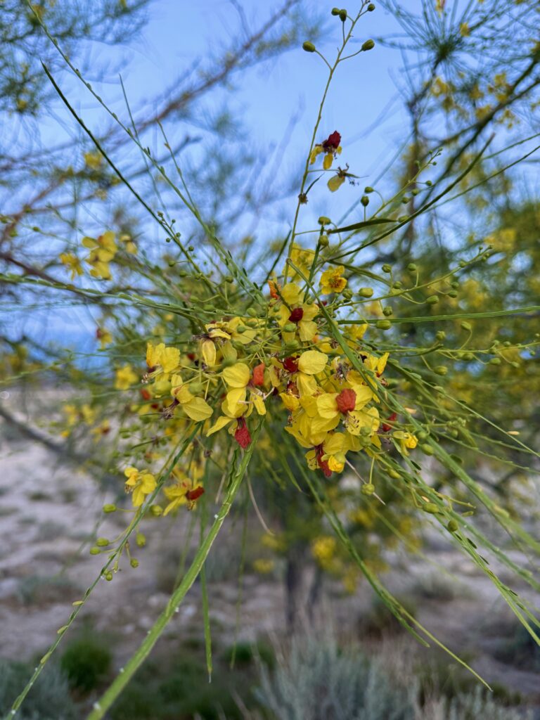
Here’s a link to a much more extensive tour I made of this area, including areas beyond Lost Dutchman Park, replete with many cactus flowers. This year, we were early here for the prime blossoming time, but the other flowers were dazzling. Iconic big multiarmed giant saguaro cactus are plentiful here. We had a lovely morning hike.
https://adventures.malinowski.com/superstition-wilderness-arizona-april-2017
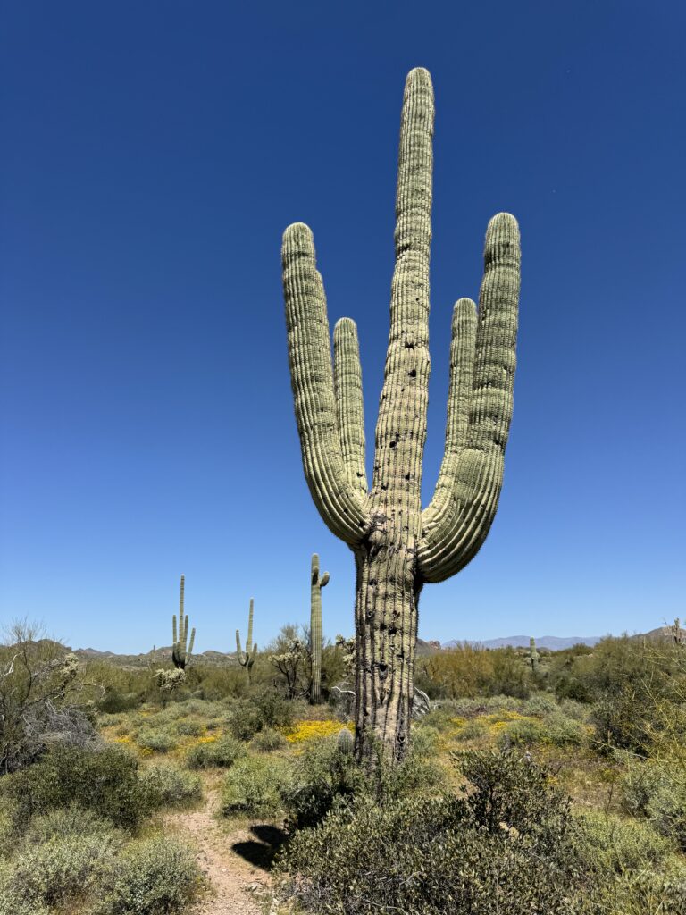
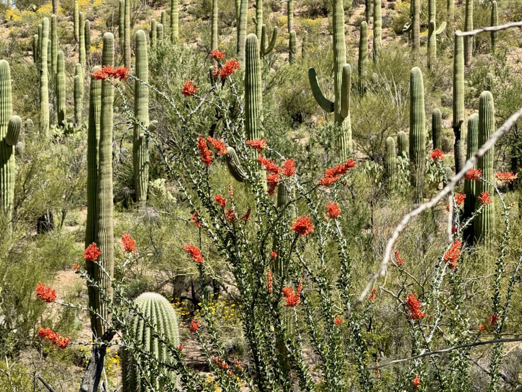
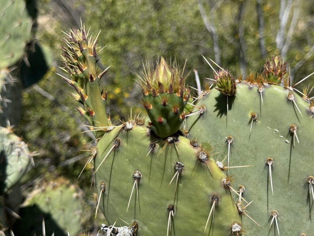
We headed south from Phoenix to Tucson, Arizona with a stop to hike at Saguaro National Park. We hiked the Valley View trail. More cactus were in bloom here than further north. It was a delightful hike among a huge forest of saguaro and other cactus.
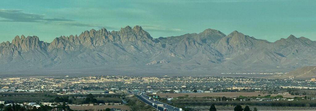
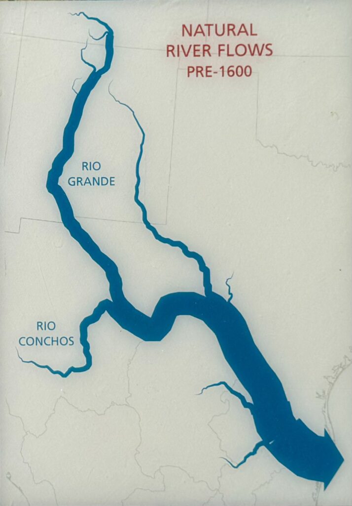
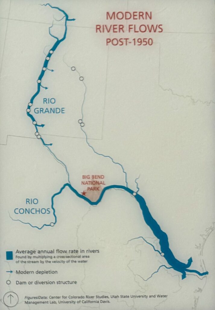
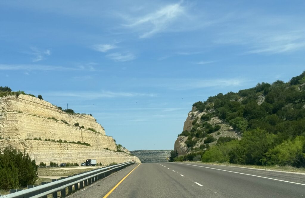
Onward across very dry, flat southeastern Arizona and southwestern New Mexico, till we dropped into the Las Cruces basin and crossed the Rio Grande river:
Tomorrow we follow the Rio Grande (which becomes the borderline with Mexico) east to Alpine, Texas, where we rested overnight. On the way, we passed through El Paso, Texas for the first time, so I sang along with Marty Robbins classic song “El Paso”.
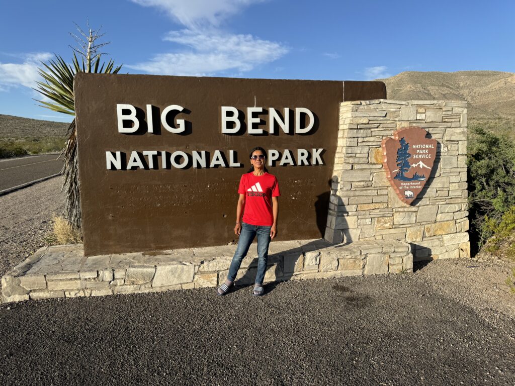
Tomorrow, south to Terlingua, Texas, a gateway to Big Bend National Park
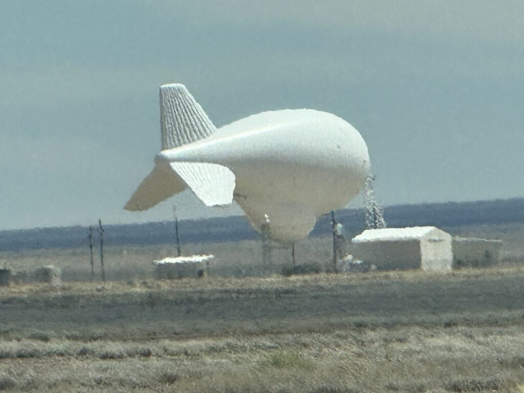
Along the way, we saw evidence of the border control issues so in the news today. We passed a white blimp at a site near Deming, Texas that said “Tethered Aerostat Radar”. These helium-filled blimps rise up on a cable to as much as 15,000 foot altitude. Originally a network of these were created to combat illegal drug trafficking. Perhaps this is also now used to detect those walking north across the flat desert land?
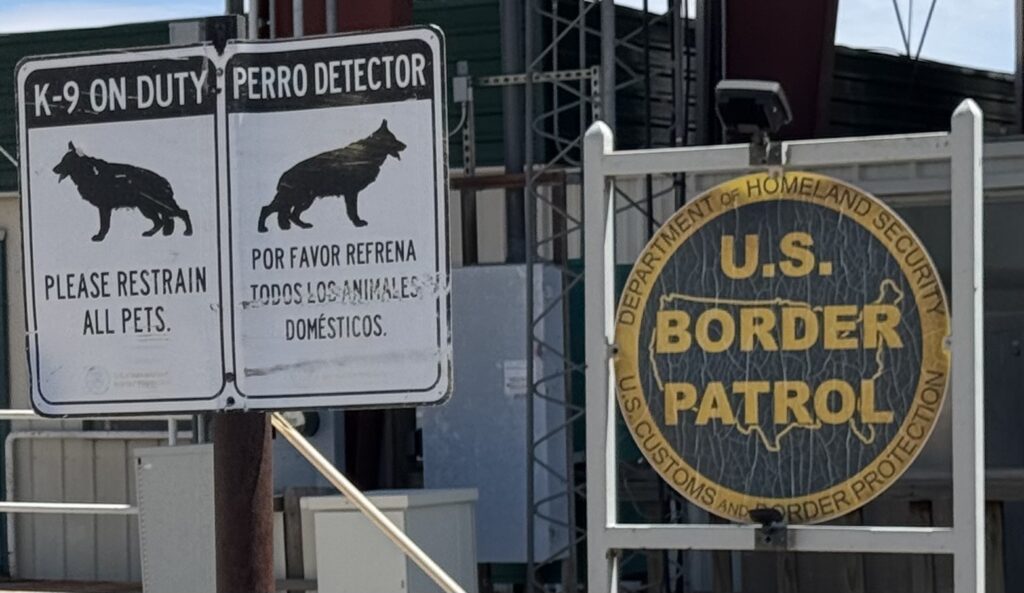
And we had to stop at a checkpoint in the middle of nowhere perhaps aimed at catching illegal transport of non-permitted border crossers and drug traffickers.
Why we came all this way:
“There is a place in Far West Texas where night skies are dark as coal and rivers carve temple-like canyons in ancient limestone. Here, at the end of the road, hundreds of bird species take refuge in a solitary mountain range surrounded by weather-beaten desert. Tenacious cactus bloom in sublime southwestern sun, and species diversity is the best in the country. This magical place is Big Bend National Park.”
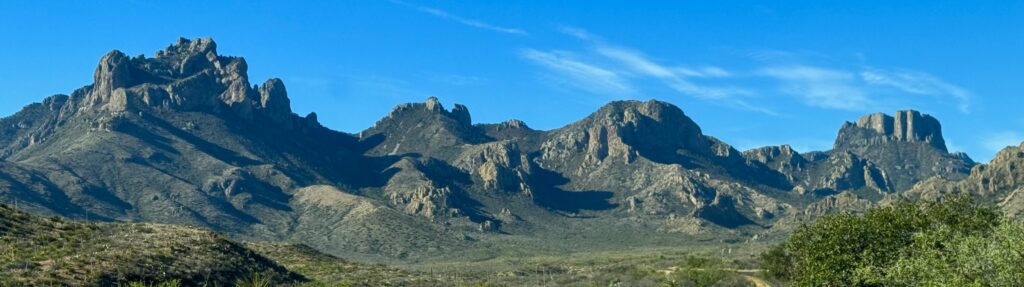
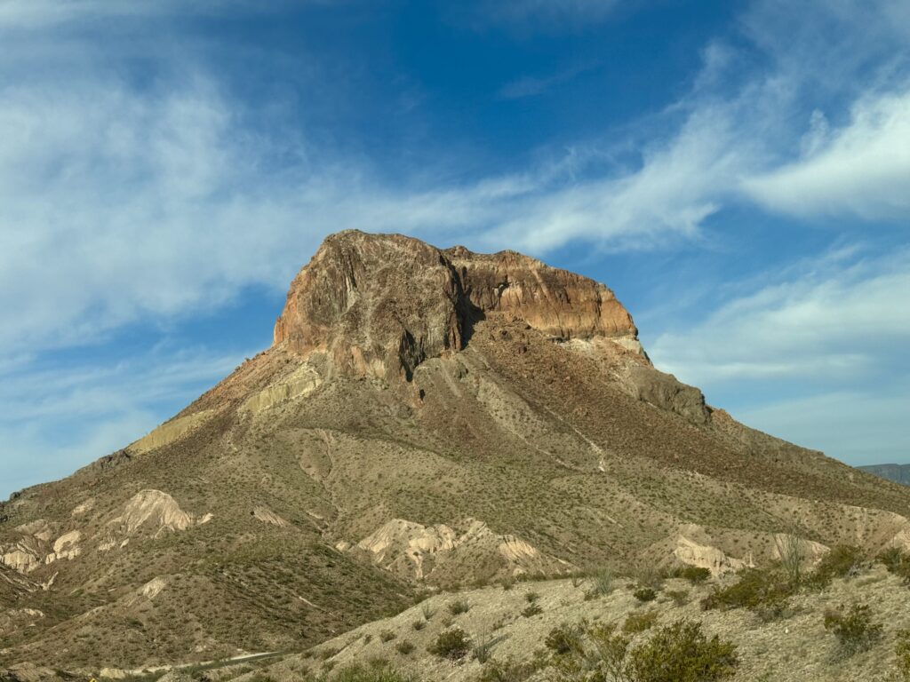
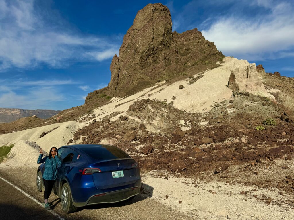
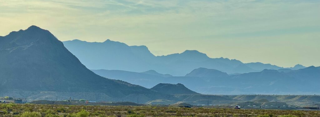
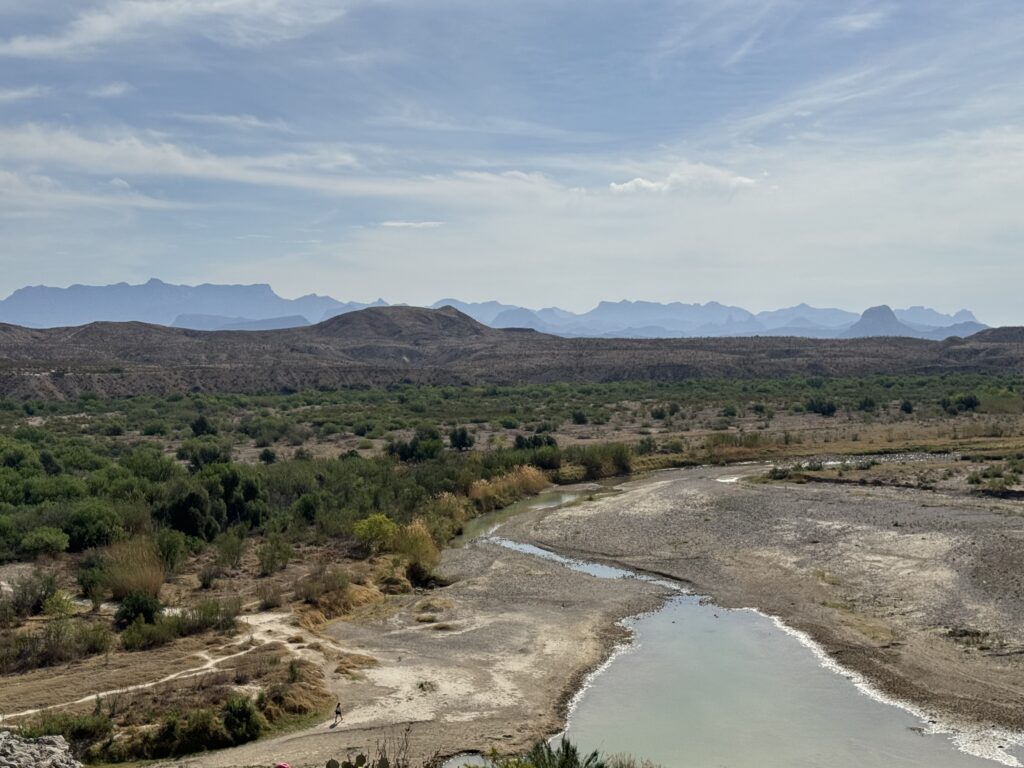
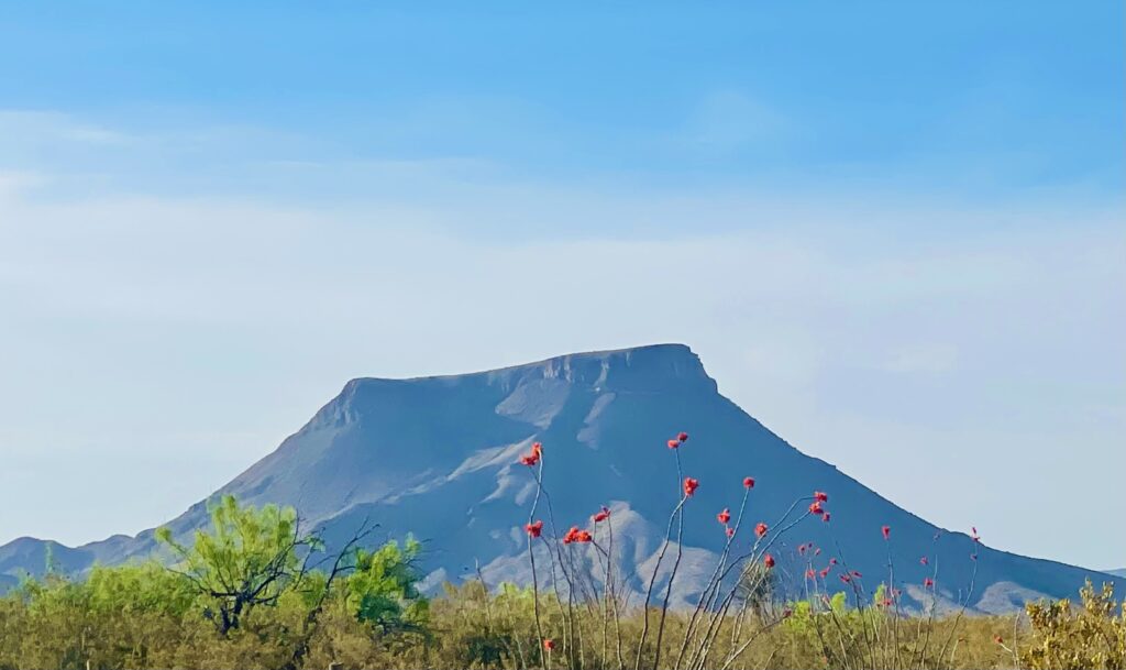
The approach to Big Bend National Park is through much flat, featureless desert, but the central mountain massif is dramatic.
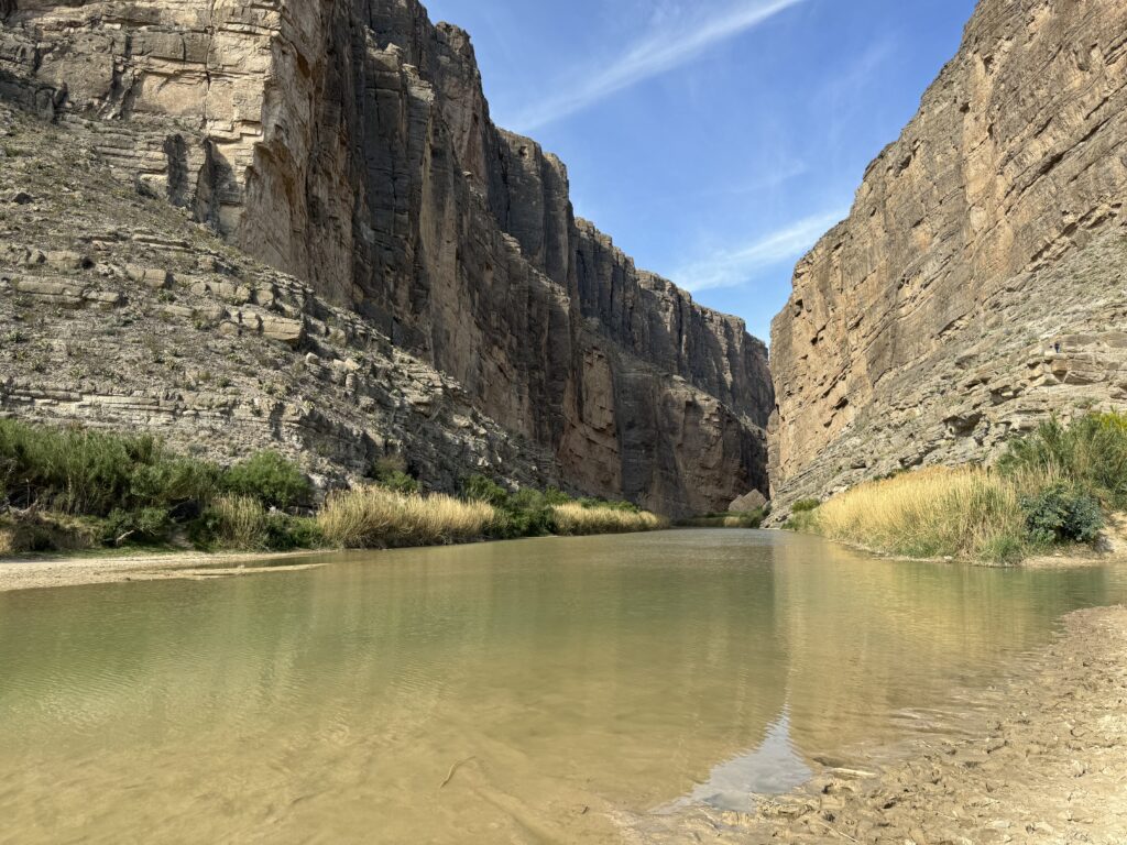
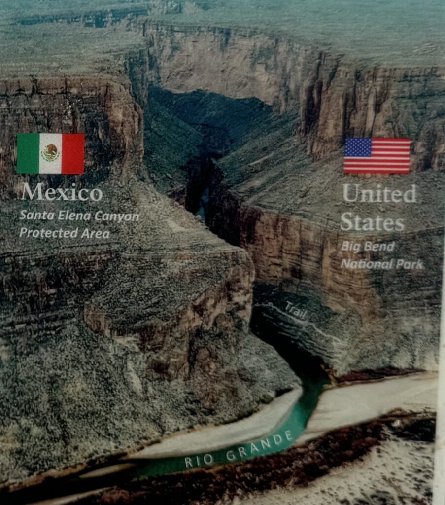
In 1851, US survey crews trying to survey the southern border were afraid to enter the rugged narrow Santa Elena canyon. So they pushed a wooden boat into the river and waited for it to come out at the end of the canyon. All that came out were broken pieces! Thirty years later, a crew finally went through by boat successfully, though they had to portage around the roughest rapid.
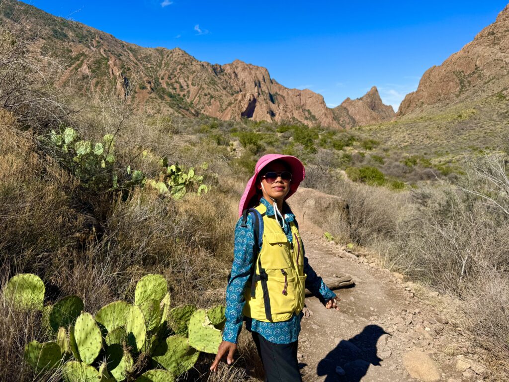
As we get ready to leave, my impression, while positive, is not quite as prosaic as the quote I put at the beginning. This is a park with dramatic rock formations, striking cactus and other desert plants, well worth a visit. Being at a higher altitude than the surrounding desert, temperatures are cooler (75°F mornings, 80° highs). If you come prepared to camp in its primitive campsites, and can get a reservation, we’re told the night sky is gorgeous.
Its remote site may protect it from the overwhelming tourist load of other major parks (it gets 500,000 visitors a year, rather than the millions per year now common to other popular parks). Even so, we were unable to make the most popular hike, as very limited parking at the trailhead fills up by 7am, and as we were not staying at the only lodge in the park (because it has no EV charging available), it was impractical to get there in time. So we did other hikes instead.
Santa Elena Canyon trail is impressive. Despite bordering Mexico, the 1500 foot tall cliff above the Rio Grande river there and along much of the border acts as an impenetrable barrier to border crossing. The hike to The Window is mostly interesting for the final ½ mile as you enter the canyon, which narrows and finally ends in an abrupt cliff (which must be a spectacular waterfall at times). Read about how common these are in Edward Abbey’s books such as Desert Solitaire.
One of the challenges here is lack of EV charging options. We wound up having to stay at a motel nearby that would let us plug into an outlet in the room to charge so slowly overnight we could barely get enough to use during the day. We had to be careful to plan so there would be enough to get us back to the nearest Supercharger on US 10 in Alpine, Texas to continue.

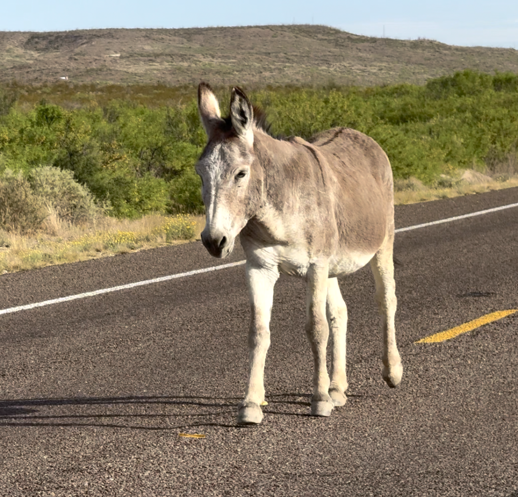
Leaving Terlingua, Texas, with sizzling 100°F temperatures (our Tesla, parked at our motel without any shade, got up to 147° inside sitting there charging), we drove many miles through pretty barren desert, wondering why people live here (cheap land?) north back to US 10 freeway, then east through west central Texas.
On the way out of Terlingua we passed several wild donkeys, including one walking down the middle of the road as if to say “I live here. Go around me!”
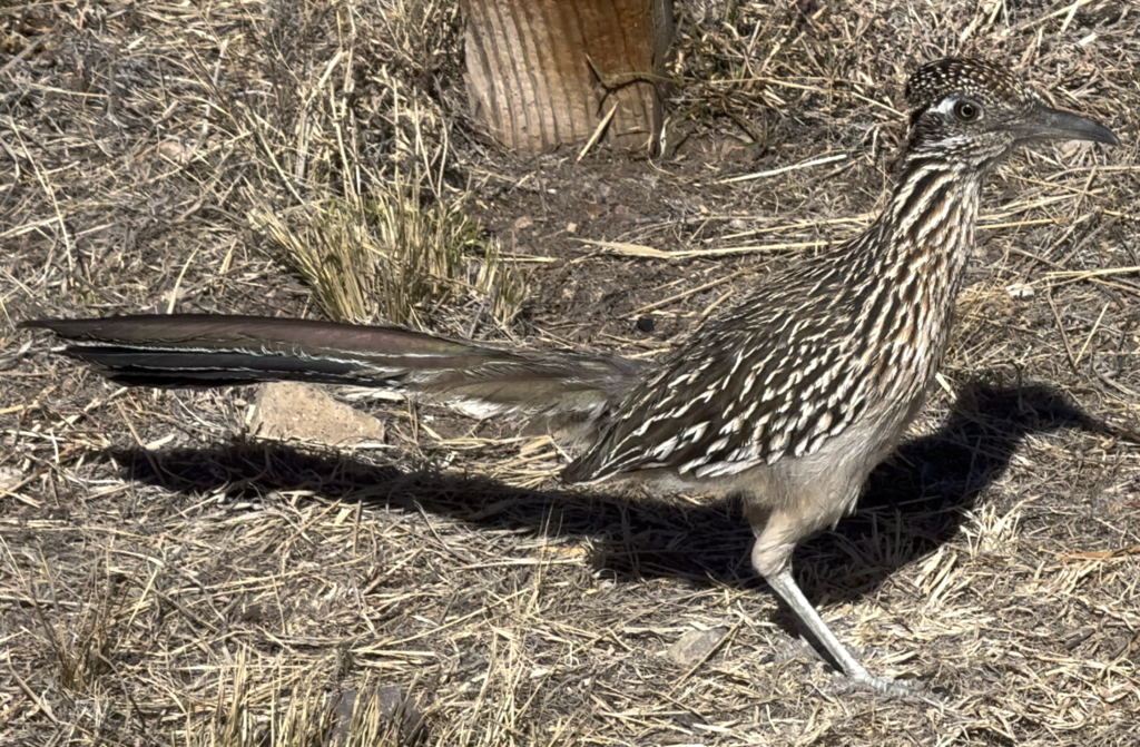
And lots of road runners, which do indeed run first and only fly if needed later.
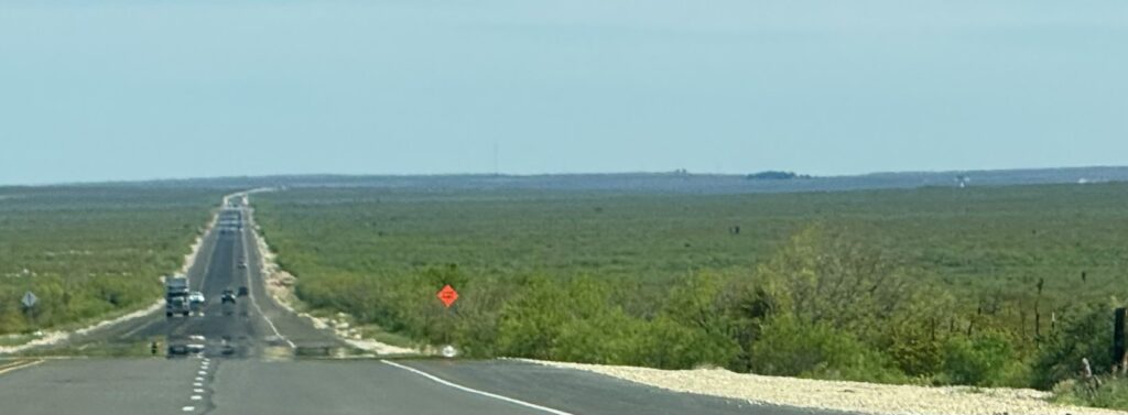
After a couple hours of driving, the bare desert became a bit greener, with scrubby small trees in the rocky soil, stretching off to the horizon. No farming and little development.
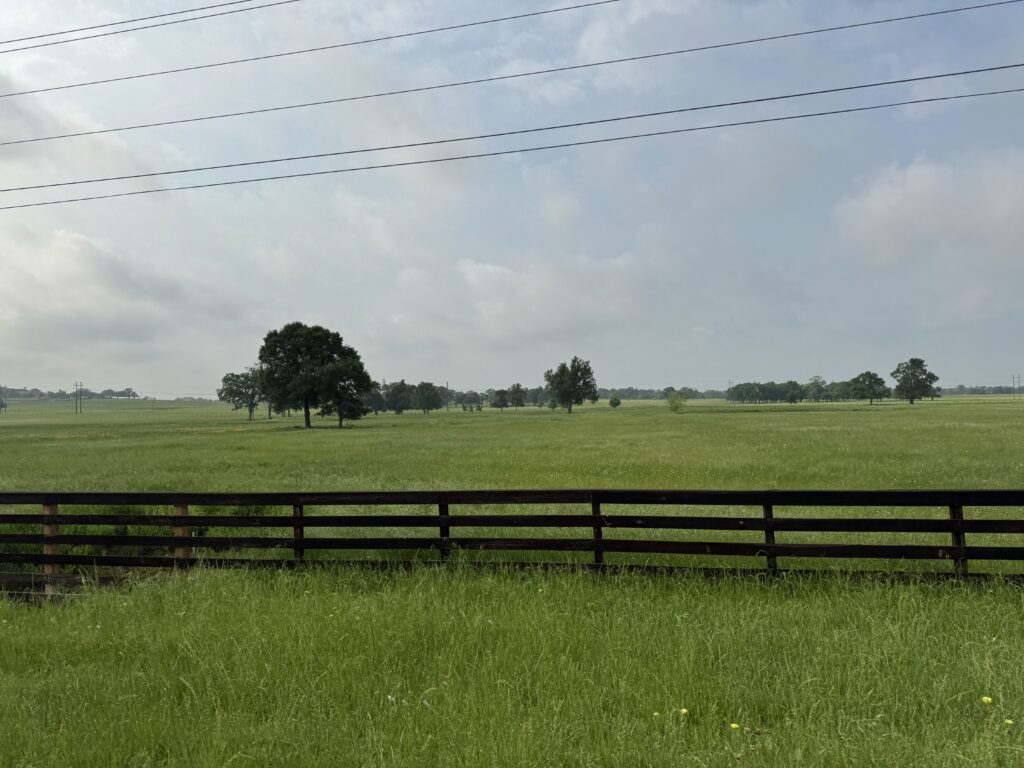
As we got closer to Austin, things gradually became greener, with bigger trees, although the land was still rather rocky without much obvious topsoil. Then we entered an area filled with winerys and grapes. Grapes like that kind of soil. It began to resemble some of California, with big live oaks and sycamores near occasional streams. There were occasional pastures, but few cattle in sight. It does seem we are beginning to leave the hot dry center of America, and look forward to the greenery we expect beginning in Louisiana. One thing that surprised me was the number of highway billboards in Texas, not something that improves the view. And I had to laugh at how many of them (half??!?) were for personal injury lawyers. Which leads me to think they have a lot of cash to spend on advertising!
As we pulled into Austin, a booming tech town these days, we went through freeway expansion work for many miles. Tomorrow, a hike in a city park, then just two hours drive east to College Station, home of Texas A&M (Agricultural and Mechanical) University, a land grant college originally, where my eldest brother got a masters degree in electrical engineering. We plan to spend a leisurely day there visiting the campus.
Texas A&M is HUGE! It has 71,000 students (more than 4x Stanford) on the main campus alone. I think we’d need our eBikes to really get to know the whole campus. So I decided to learn more about it.
The Morrill Act provided for donating public land to the states to fund higher education. It stated that the “leading object shall be, without excluding other scientific and classical studies, and including military tactics, to teach such branches of learning as are related to agriculture and mechanic arts.” On Oct. 4, 1876, the college began instruction with 40 students and six faculty members. Admission was limited to white males, and the Morrill Act required all students to participate in Corps of Cadets military training.
In 1963, the Texas Legislature changed the school’s name from the Agricultural and Mechanical College of Texas to Texas A&M University. The “A” and “M” became a symbolic link to the school’s past but no longer officially stood for “Agricultural and Mechanical.”
In 1965 the university began allowing African Americans and women to attend, and participation in the Corps of Cadets was also made voluntary in 1965.
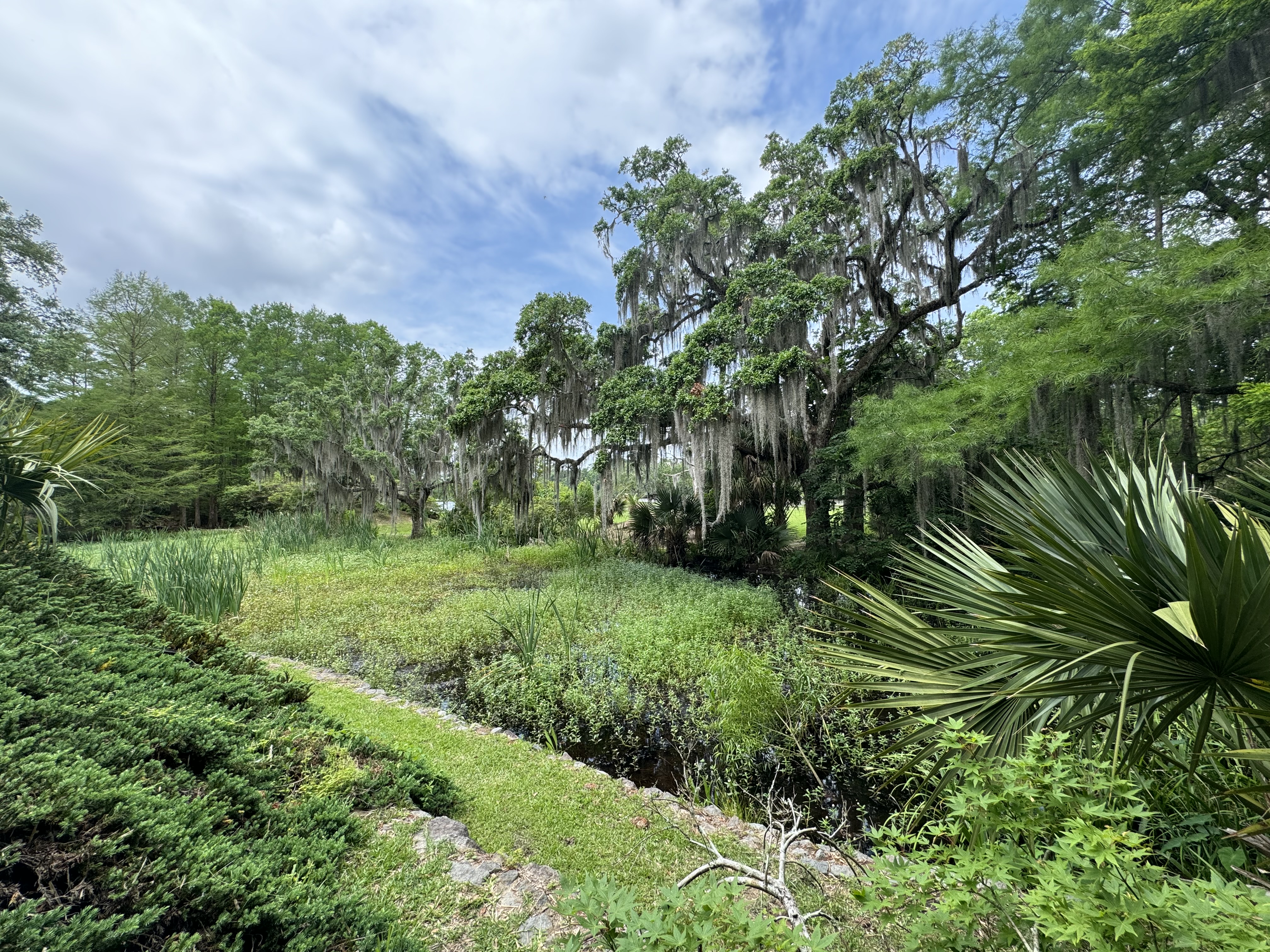
Heading east out of Texas into Louisiana, the green gets greener, the trees get bigger, and the land gets flatter (that east Texas). Very flat, and you start seeing some fields with a shallow cover of water. We decided to start out in the town of New Iberia, south of Lafayette, still west of Baton Rouge and New Orleans. My idea was to first see small town Louisiana and the swamps and bayous before urban New Orleans.
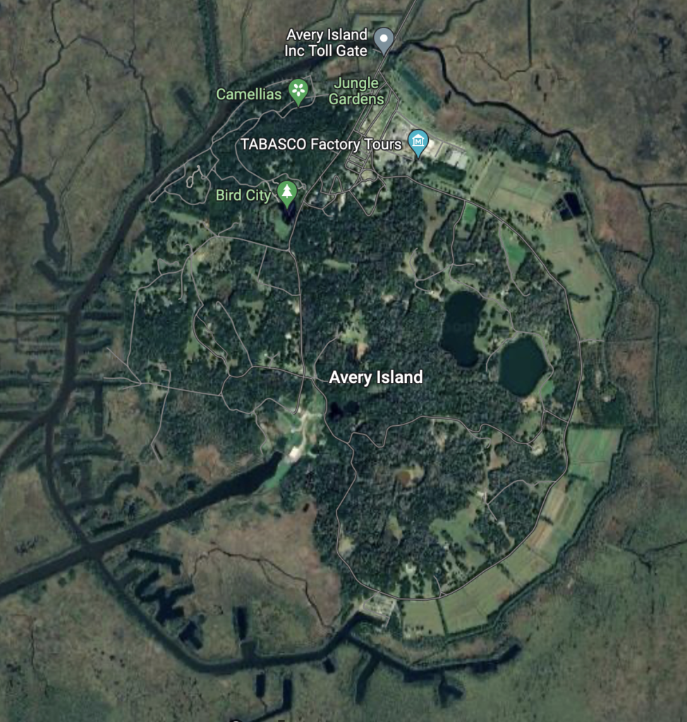
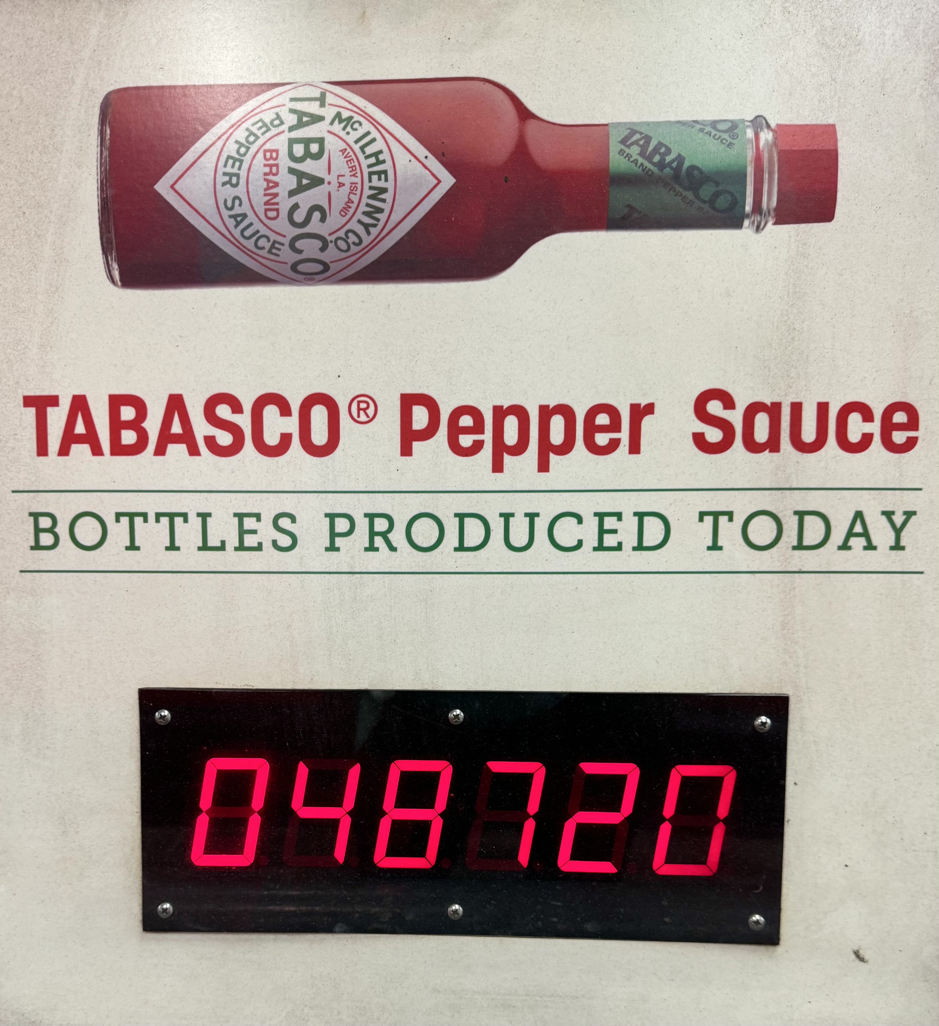
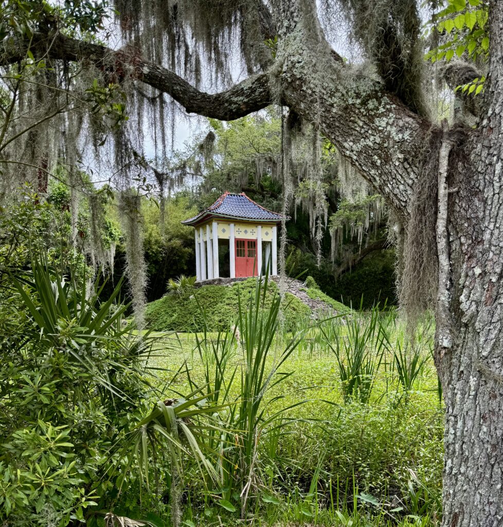
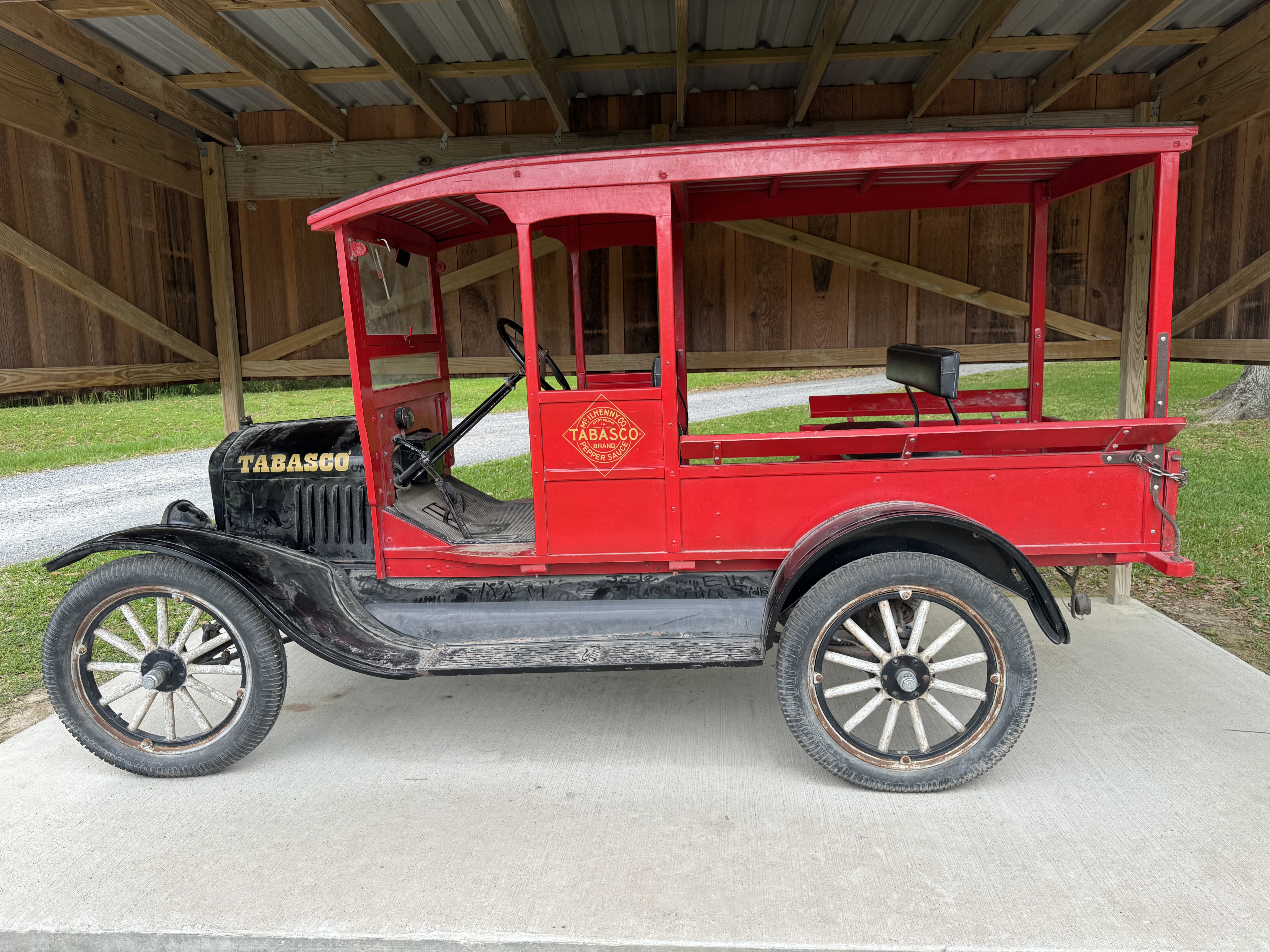
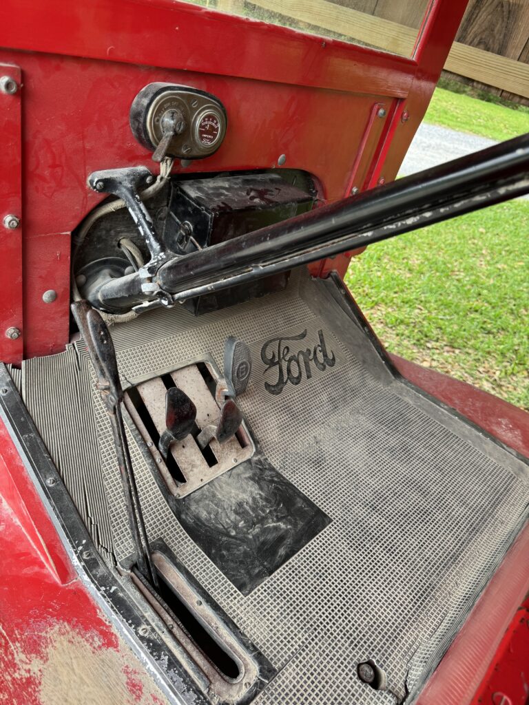
One reason for this location: nearby historic Avery Island, where Tabasco Sauce began being produced in 1868. We spend a fun half day there, touring the factory and the huge botanic garden. Avery Island is one of four remaining ‘salt domes’ in the area. Thick deposits of rock salt were overlaid by mud from the Mississippi and pushed down, but some domes remained. Some deep salt mining is still done, but the fertile soil above makes for good crop growing. The demand for Tabasco Sauce worldwide is so great that they cannot grow enough peppers on the island, and have established plantations to grow the particular variety they use in Asia, South America and Africa, importing it all to Avery for aging and blending with vinegar as is their traditional recipe.


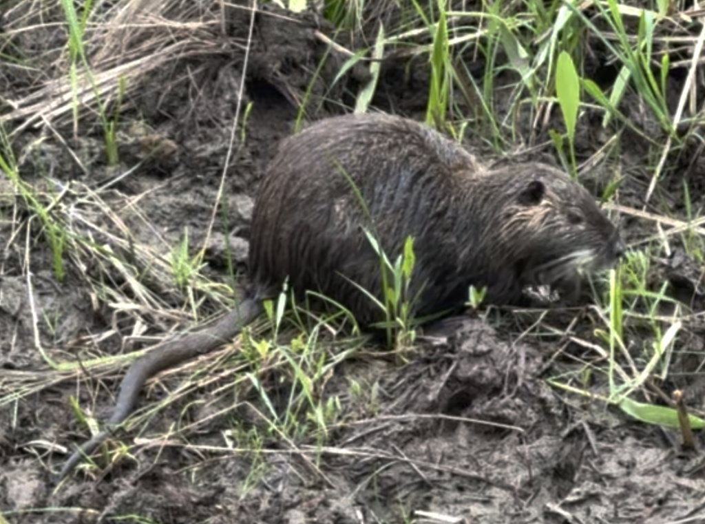
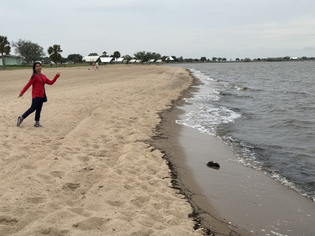
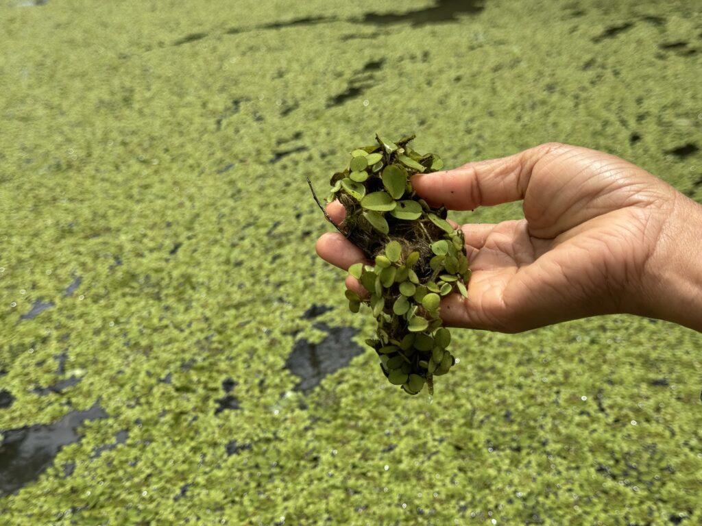
That afternoon, we drove out to the beach. Walking on a boardwalk in the swamp, we saw a possum-sized nutria (South American native rodent). Nutria were brought here to boost the fur trade as native fur-bearing animals were declining in numbers due to over-harvesting. They escaped into the wild, and have become a major problem in the South, especially Louisiana, which estimates 2,000,000 could destroy the marsh areas by eating everything. There currently is a bounty on them, but it will take more to eradicate them. Louisiana intends to try.
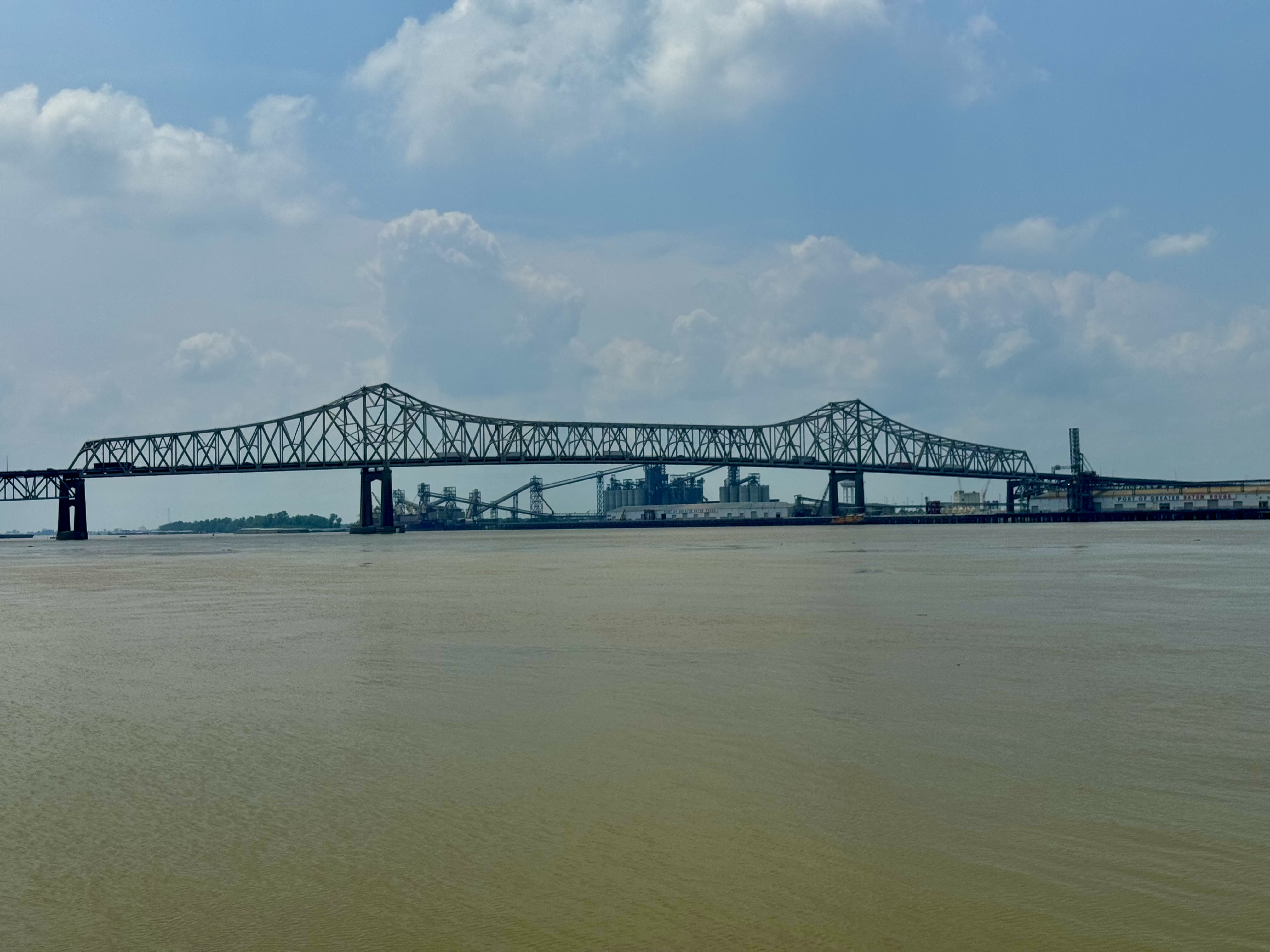
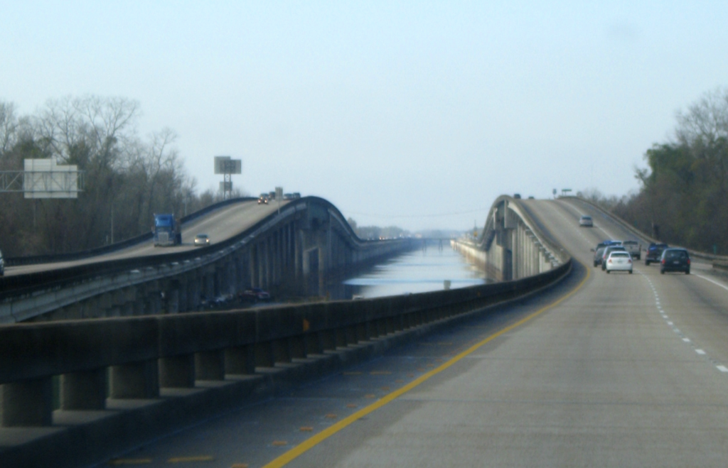
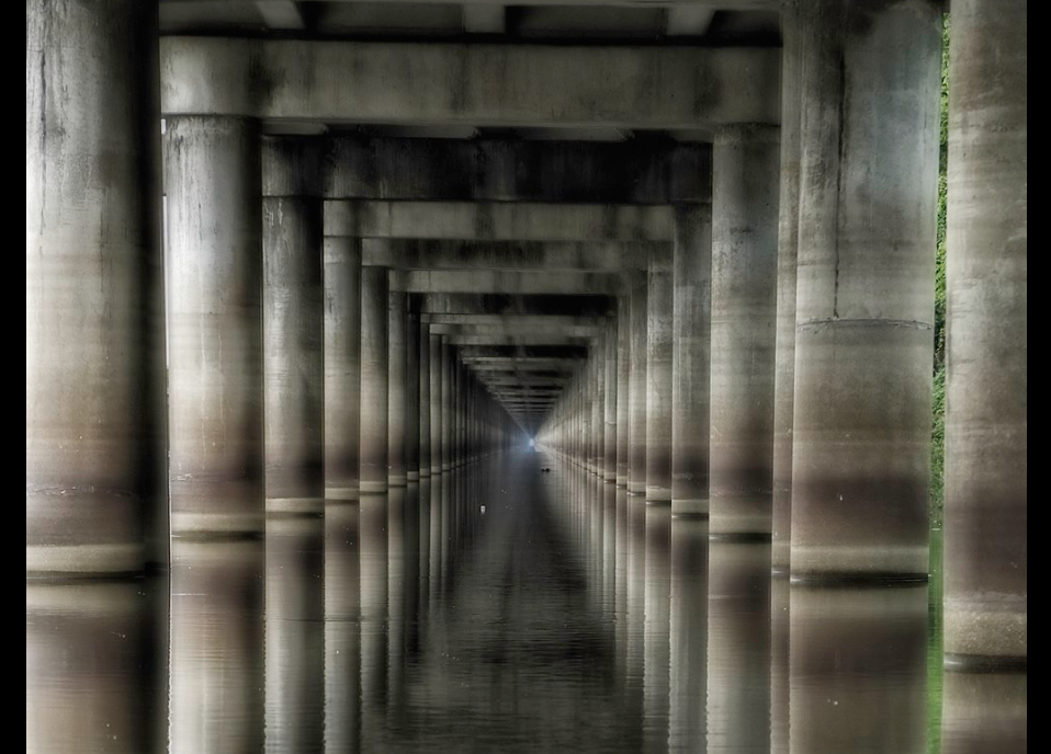
Next day, we moved on to Baton Rouge. Established by the French on the first high bluff above the Mississippi (not subject to flooding like New Orleans, a good idea!), it is a big city with quite a history. On the way from Lafayette to Baton Rouge, you cross the Atchafaly Basin Bridge, which is an 18 mile long elevated highway crossing the Atchafaly Basin swamp. It is the 14th longest bridge in the world.
The Mississippi is about 3,000 feet wide where it passes by Baton Rouge, about the same as the Columbia at the Interstate Bridge. It gets closer to 4,000 feet wide as it approaches the Gulf of Mexico past New Orleans. Big and muddy! Farther up the Columbia Gorge, the Columbia is wider, as much as 6600 feet. These big rivers were the only highways through rural America several hundred years ago!
at Baton Rouge
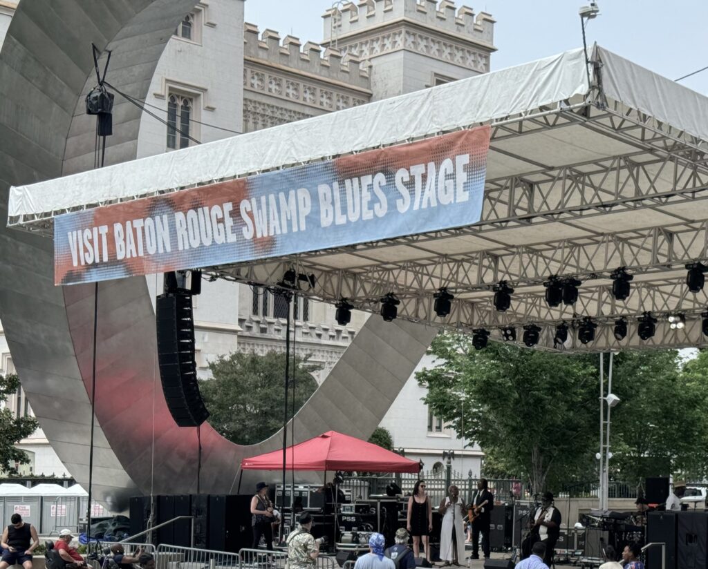
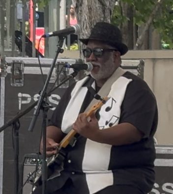
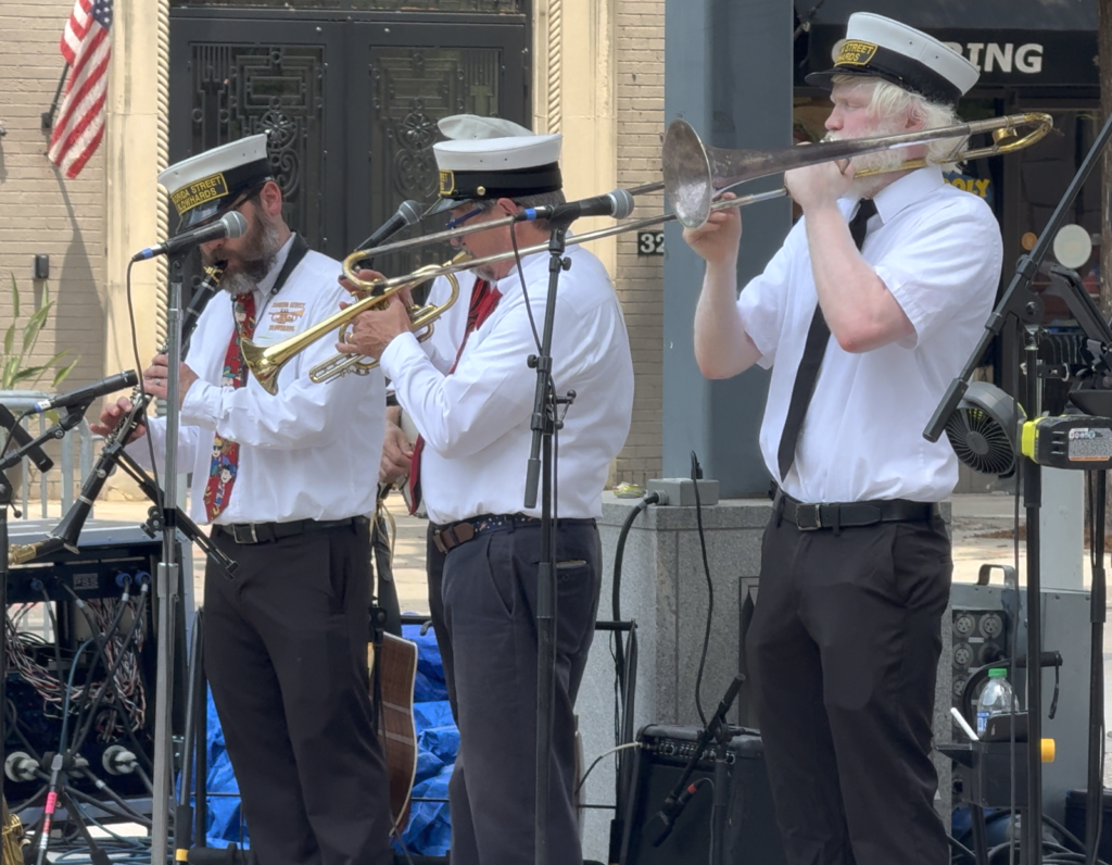
Baton Rouge greeted us with blues and Dixieland jazz. Lots of fun!
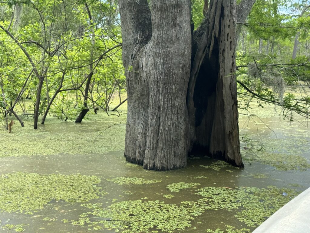
Tomorrow, out by boat into the bayous. Linda Ronstadt’s Bayou may have been Blue, but a typical bayou is a muddy slow river going through a swampy area (whereas a swamp doesn’t have such a river flow).
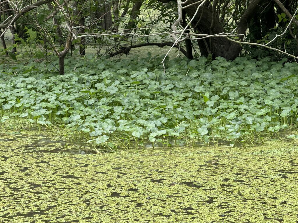
We will be exploring part of largest contiguous forested wetland in North America, the Atchafalaya Basin. The average difference in water levels from season to season can be as much as 8-9 feet depending on the amount of water coming from the Mississippi River. As the water rises and falls, it provides different habitats for different flora and fauna, cypress trees, and native wildlife. We may (if lucky) see some of the shy, not aggressive alligators, not like Florida crocs who eat people.
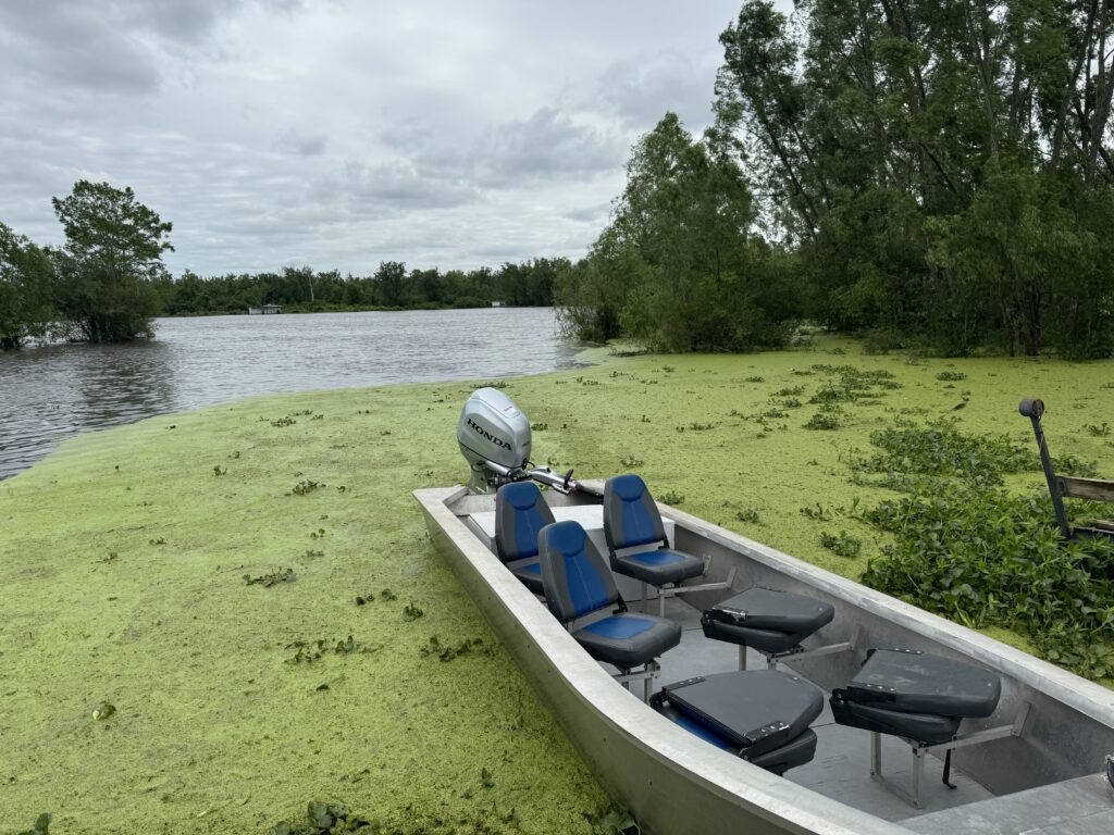
We chose to go out on a small boat rather than a big one, so we could go into the small bayous. On a Sunday, it was just Pin and I and the guide, very nice. It had rained the night before, and was cool and fresh.
Few trees can live submerged in water that goes up and down 10-12 feet seasonally. Cypress are the main tree that lives here in the perennial swamp.
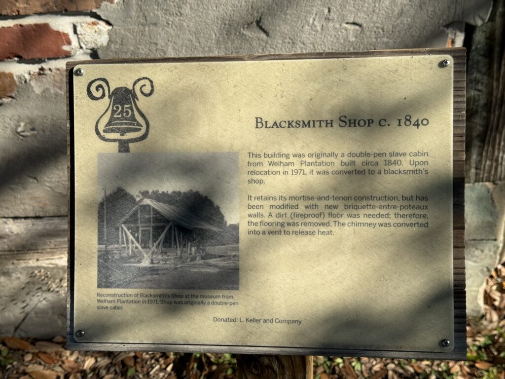
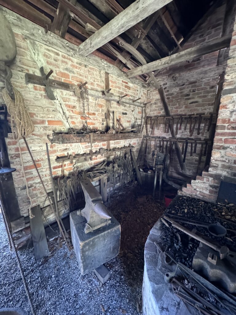
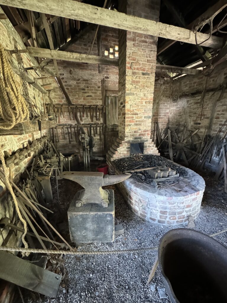
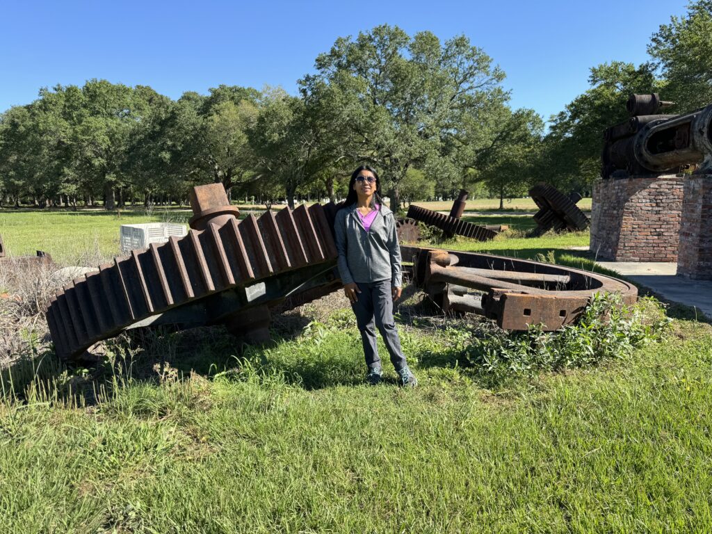
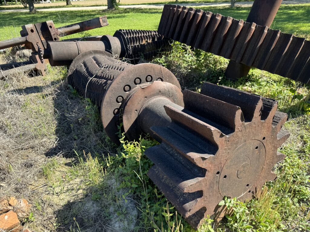
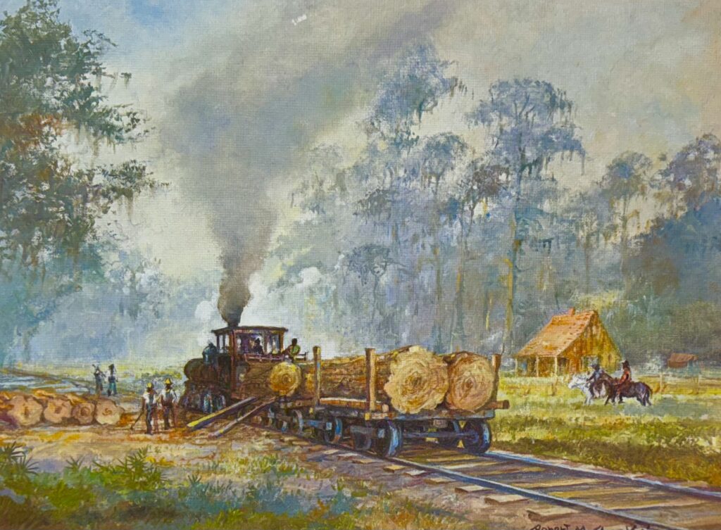
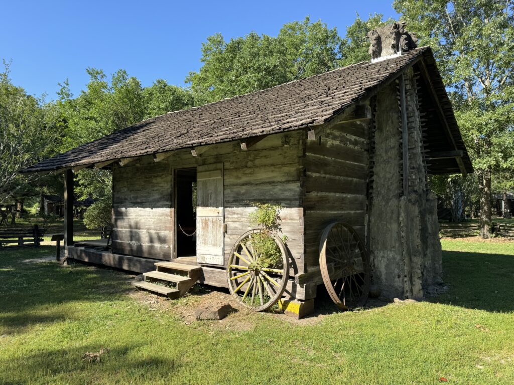
On our way the next morning, we stopped at the LSU Rural Life museum, which has a phenomenal collection of 1800s buildings preserved outdoors, as well as acres of antique equipment.
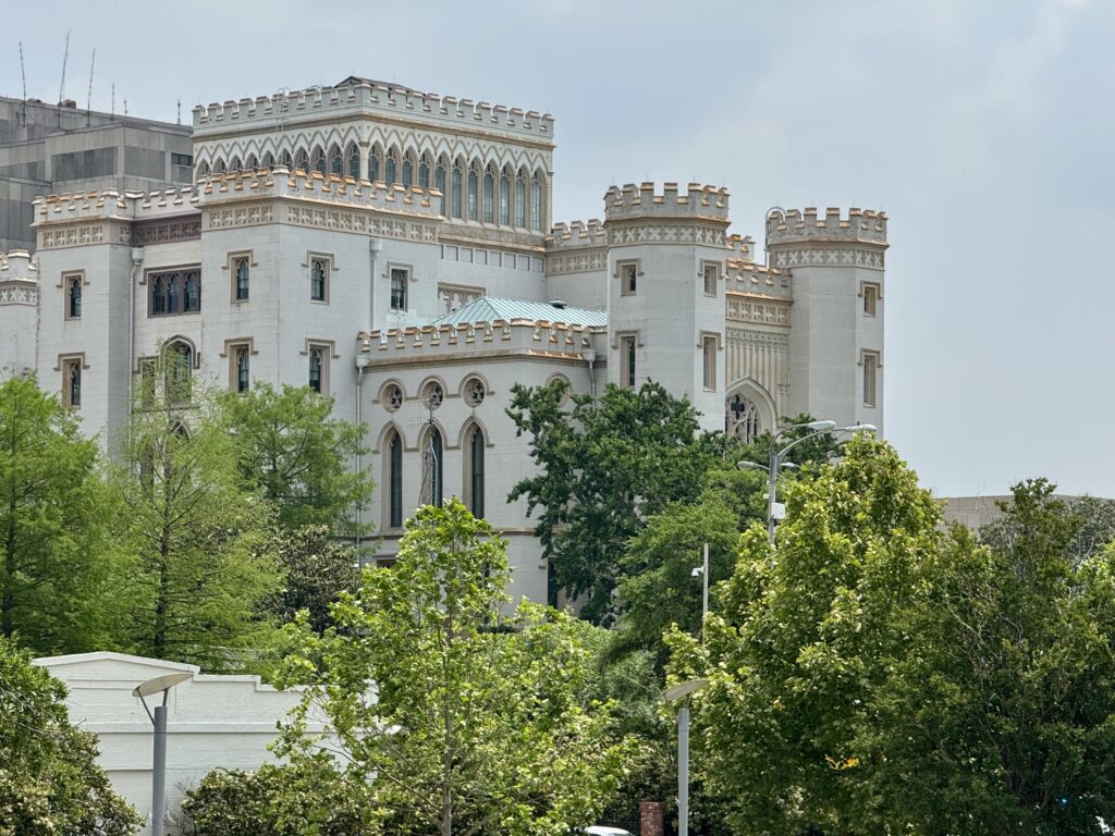
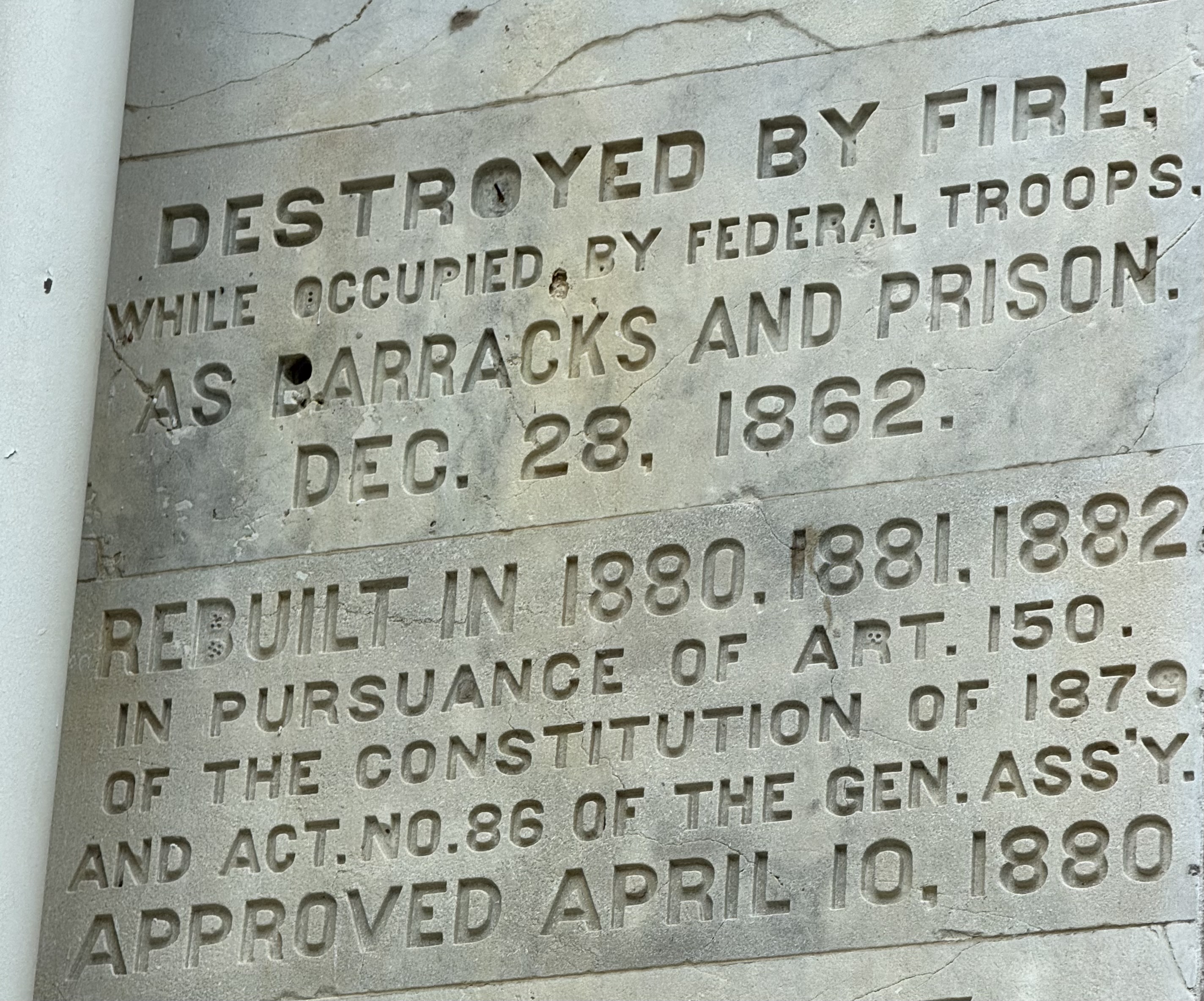
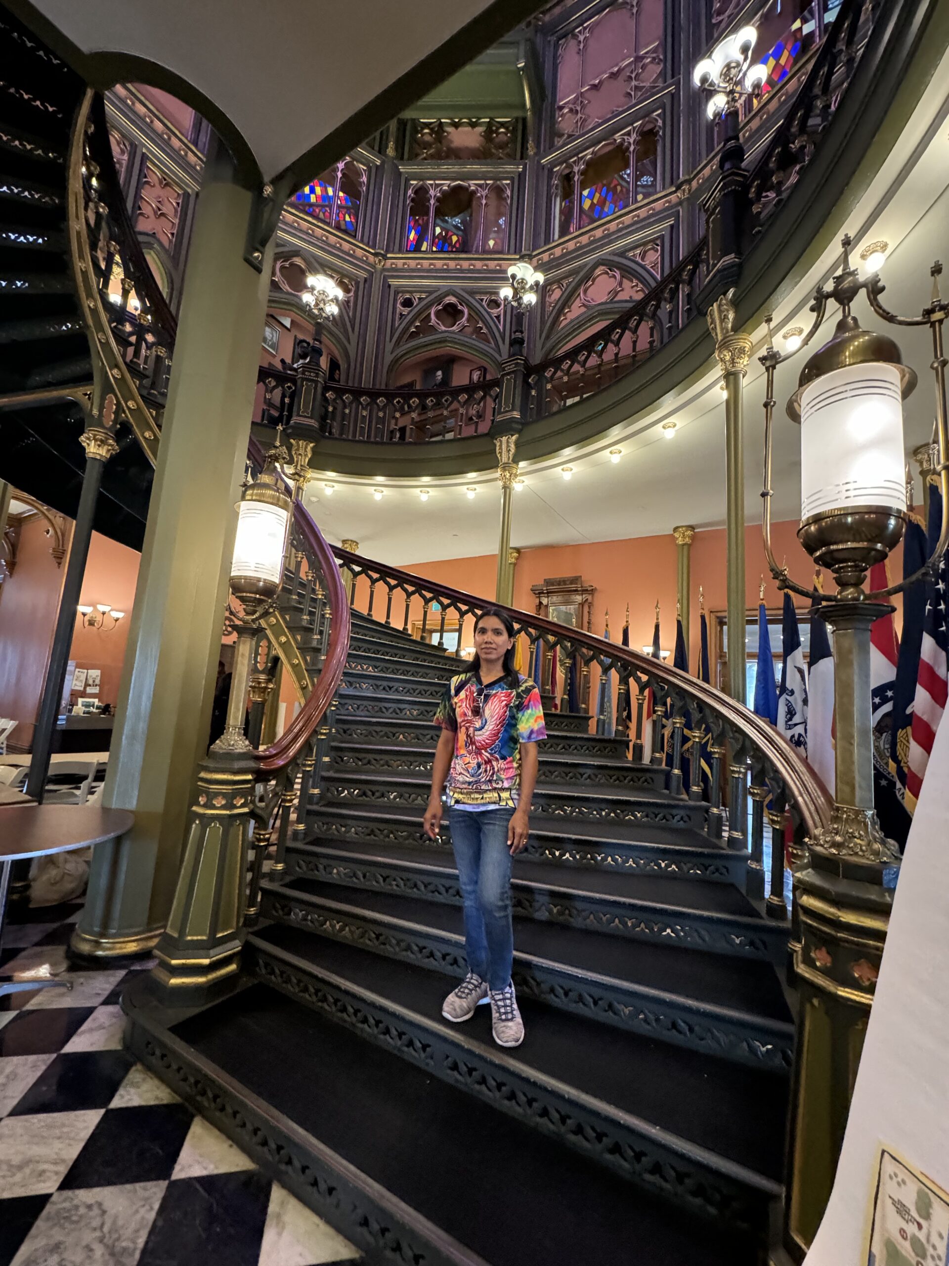
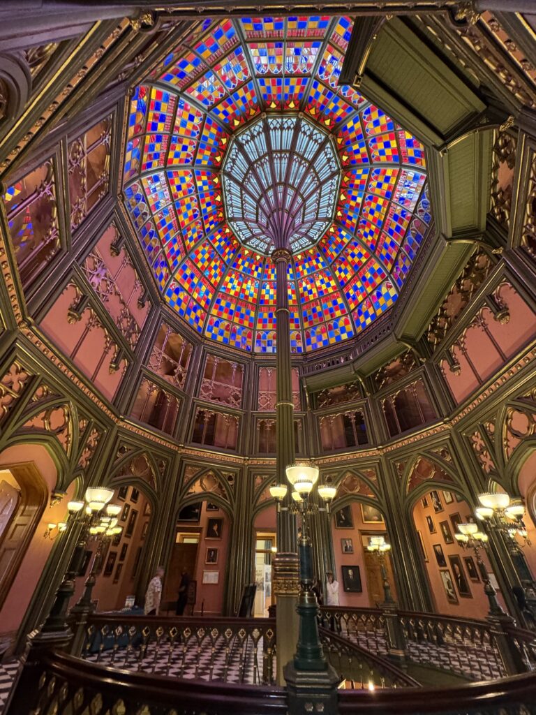
Then we visited the ‘new’ (1930) Louisiana State Capitol
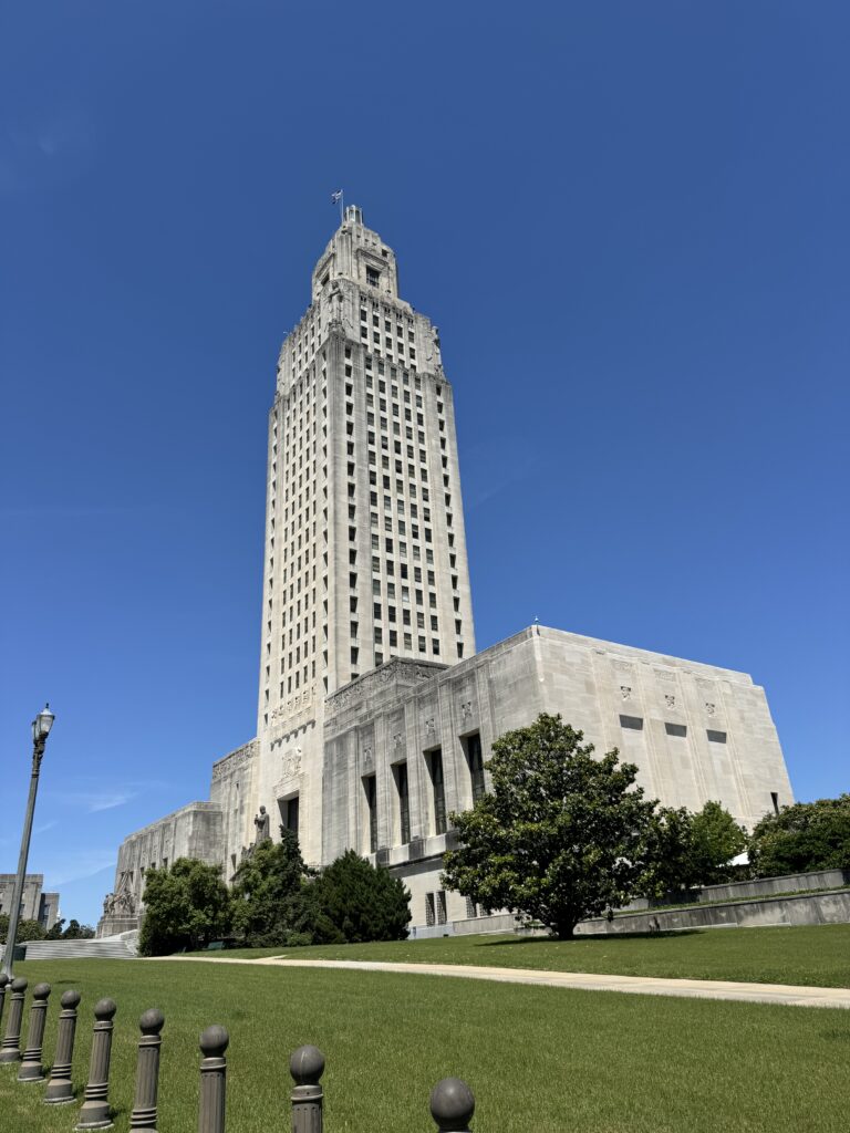
Twenty seven stories high, no dome. There is a very nice observatory platform near the top.
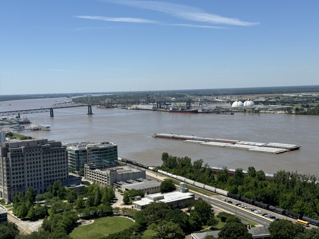
Mississippi River bridge at Baton Rouge from the new Capitol building observatory. Many barges.
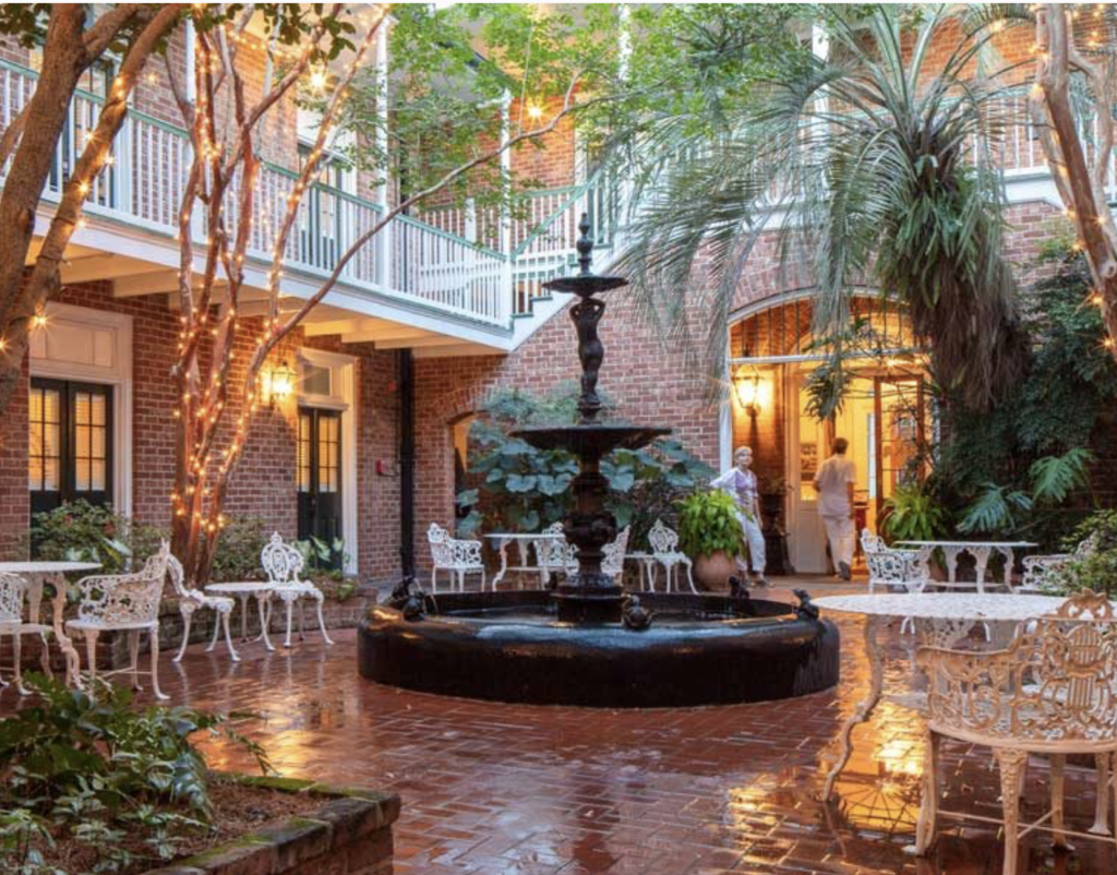
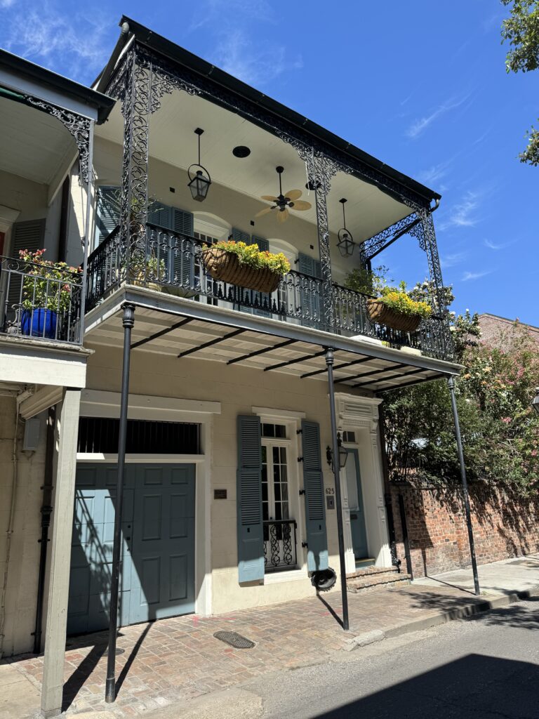
On now to historic New Orleans. Lots of music in the bars. Reminds us of the Sukhumvit area of Bangkok.

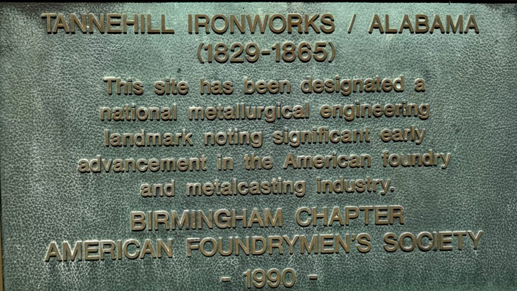
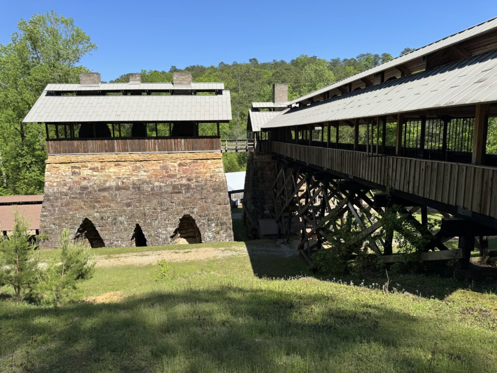
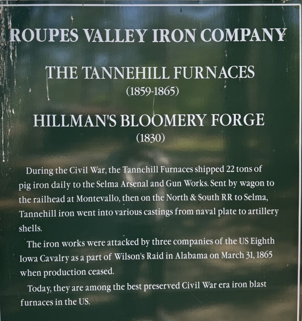
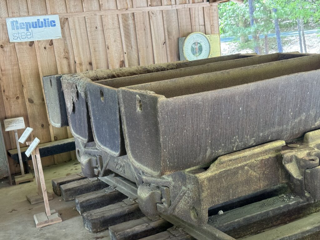
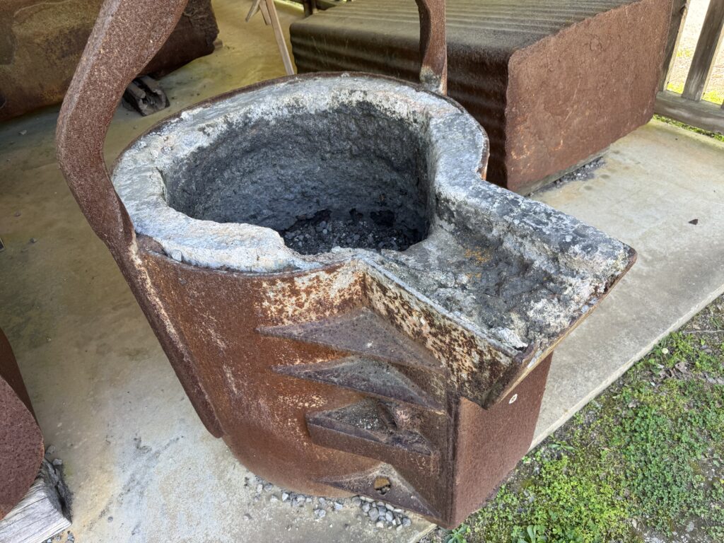
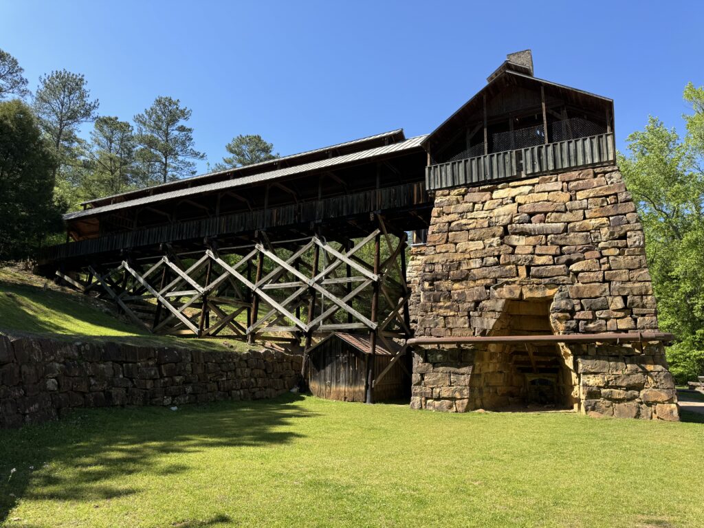
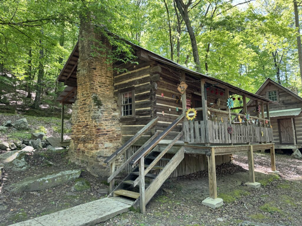
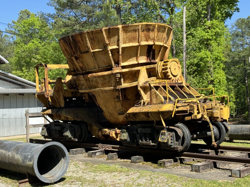
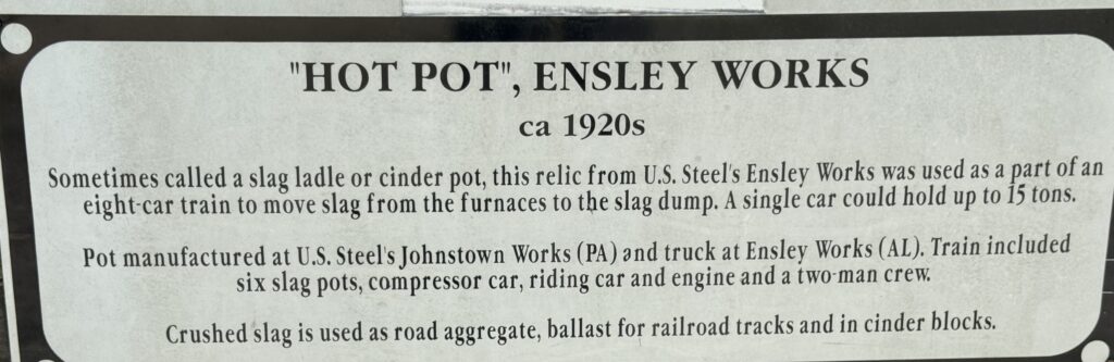
On the next morning heading northeast through a bit of Mississippi up to Alabama. Mississippi is lush and green and pretty flat, and we chose to not stop there. Our general impression is of Louisiana and Mississipi as both rather flat. Then, as you get into Alabama, more hills. After Tuscaloosa, just before Birmingham, Alabama, we saw a sign for the Tannehill Ironworks Historic State Park. So we stopped to take a walk.
It was lovely 75°F spring weather, trees all leafed out already. It made me want to stay! Just delightful. A local person said that the summers are very hot and humid, though. Made me think of the song ‘Sweet Home Alabama’, ‘where the skies are so blue’. Great park. There are cabins you can rent, but they have a two day minimum, so we enjoyed several hours and then headed on to Birmingham.

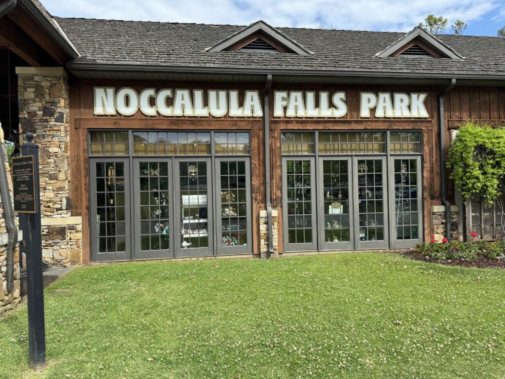
Judy used to tell me about how her Dad would set off on long car trips back to Iowa (she was born in Fort Dodge there), drive fast, not stop at places they passed, or stop with a very short time allowed to explore. I decided not to do this on this trip! As we drove NE through Alabama, I saw a sign for Noccalula Falls Park, and turned off. Glad we did! It has a spectacular hike down into a rocky gorge to the base of a beautiful waterfall.
After one more local park stop, we arrived in Knoxville just in time for a nasty commute traffic jam passing through. Ugh. Oh well. We went a bit further to more rural Kodak, Tennessee for the night. We have been finding the ‘Choice Hotels’ group to offer the best value in low to middle price motels/hotels. A bit upscale from Motel 6, for just a bit more. Clean, comfortable rooms, a bit bigger, and with more style. Motels such as Quality Inn, Comfort Inn, etc. You reserve with their iPhone app and get a discount, rather than walking in. Pin stoutly maintains we don’t need fancy places at high prices if we’re just sleeping overnight, and won’t let me waste money on upscale motels.
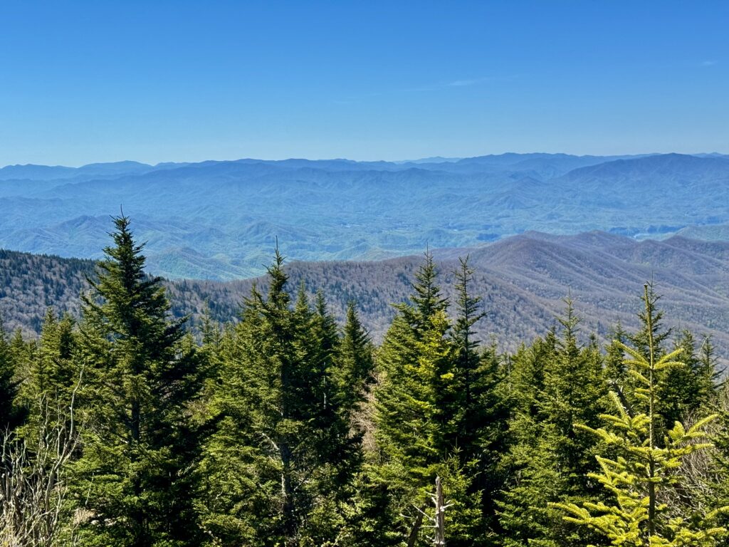
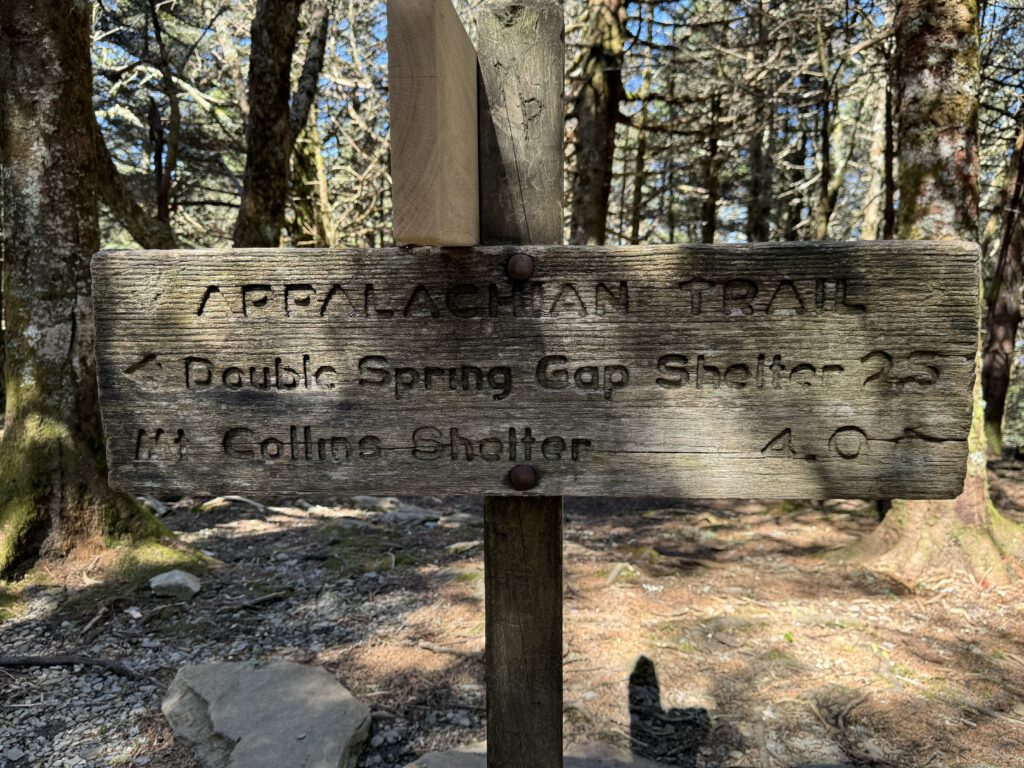
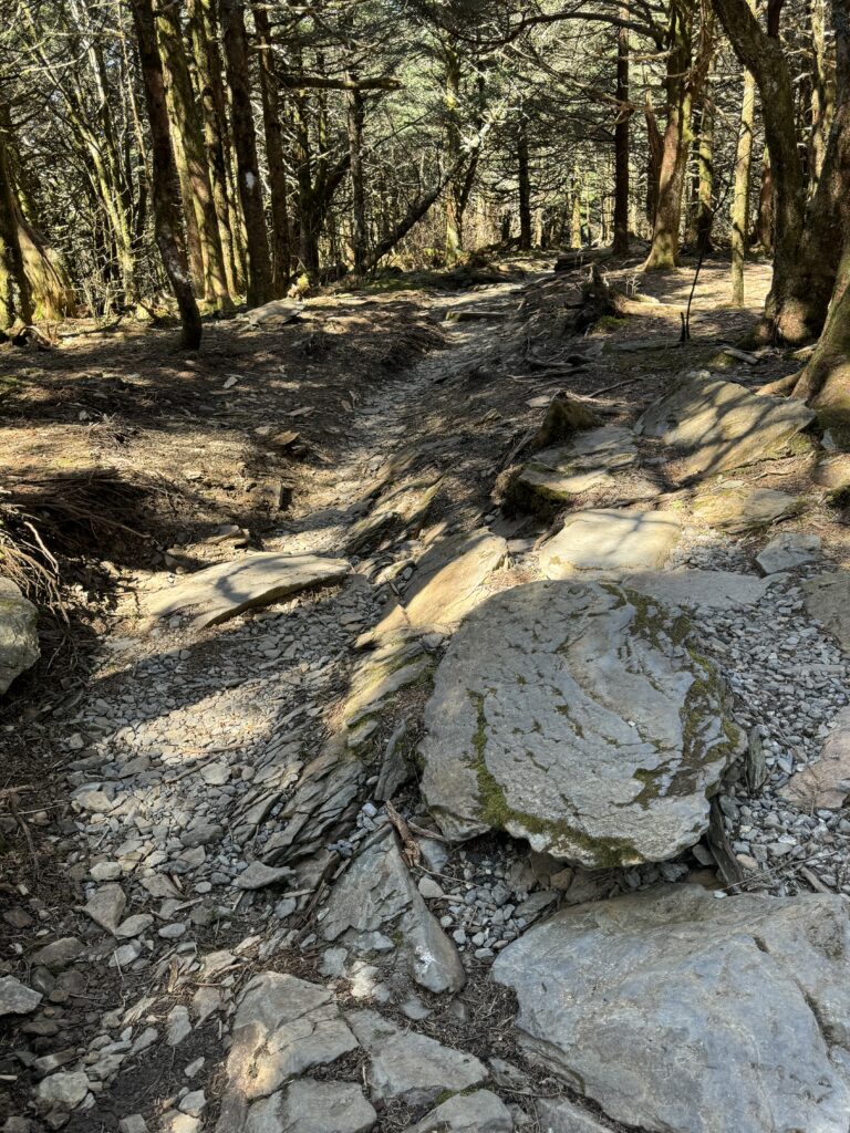
Today, we drove up into the Great Smoky Mountains National Park, just over the line in North Carolina, and hike to Clingman’s Dome, the high point of the Appalachian Trail near its southern terminus. Tessie drove us the whole way on twisty, two lane road, 5600 feet of altitude climb, very competently.
Down at 900 foot elevation, springtime is gorgeous. All the trees are leafed out, dogwoods are in bloom as well as lilacs. As we climbed, at about 4,000 feet the deciduous trees are still bare, and we entered the coniferous forest, mostly red spruce. The smooth well-marked road runs up to about 6300 feet to a large parking lot and visitors center. This is a very popular destination, and the parking lot was nearly full at 9:30am.
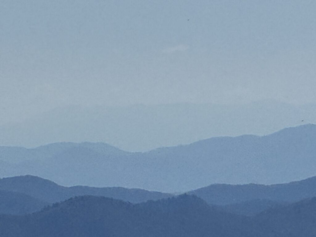
We hiked up the steep path to the top of Clingman’s Dome (in the Appalachians, ‘dome’ refers to any rounded hilltop) which is tree-covered, 6643 foot altitude. So they built a big spiraling walkway up to a 60 foot tall observation tower. Standing on that tower, you are a bit higher than the highest point east of the Mississippi, Mount Mitchell. You can see 100 miles on a clear day. Our day was pretty clear, maybe 70 miles visibility. Spectacular layered hills off into the distance.
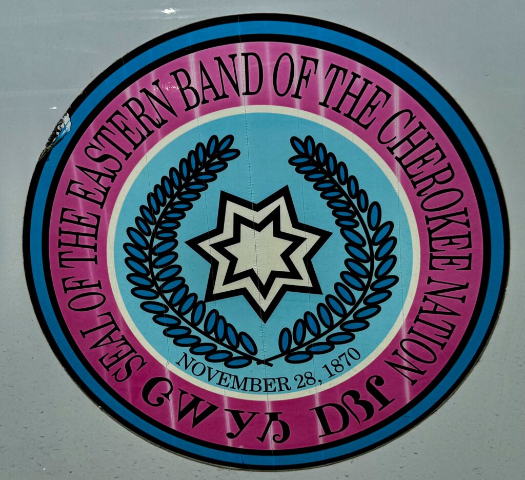
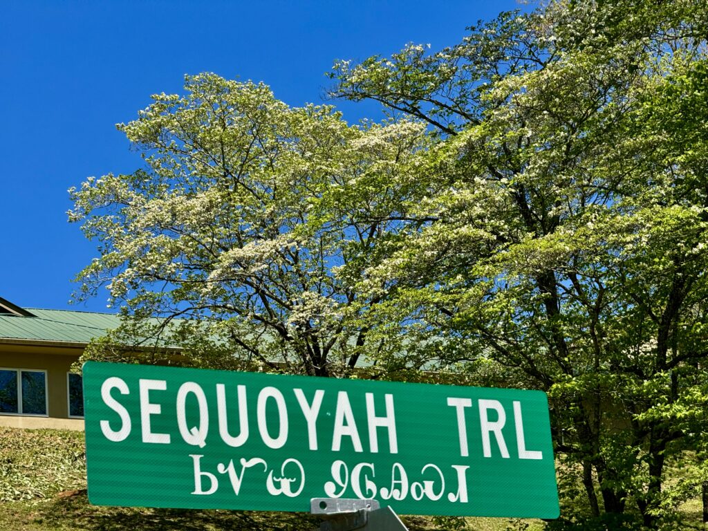
We headed down the other side toward Cherokee, North Carolina, part of the Eastern Cherokee reservation land.
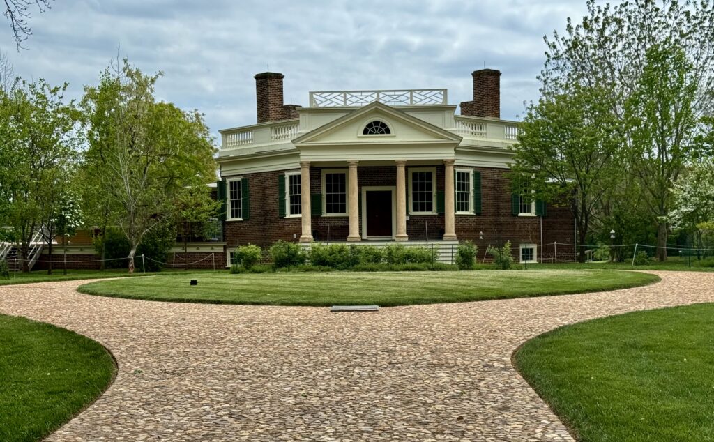
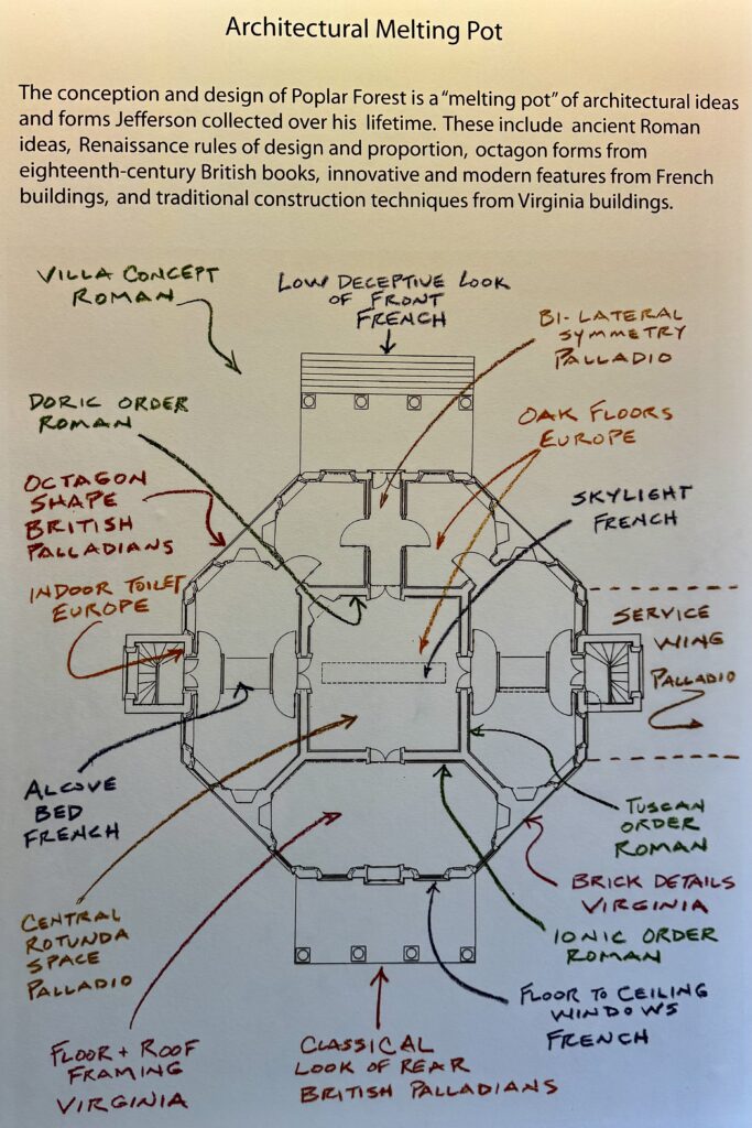
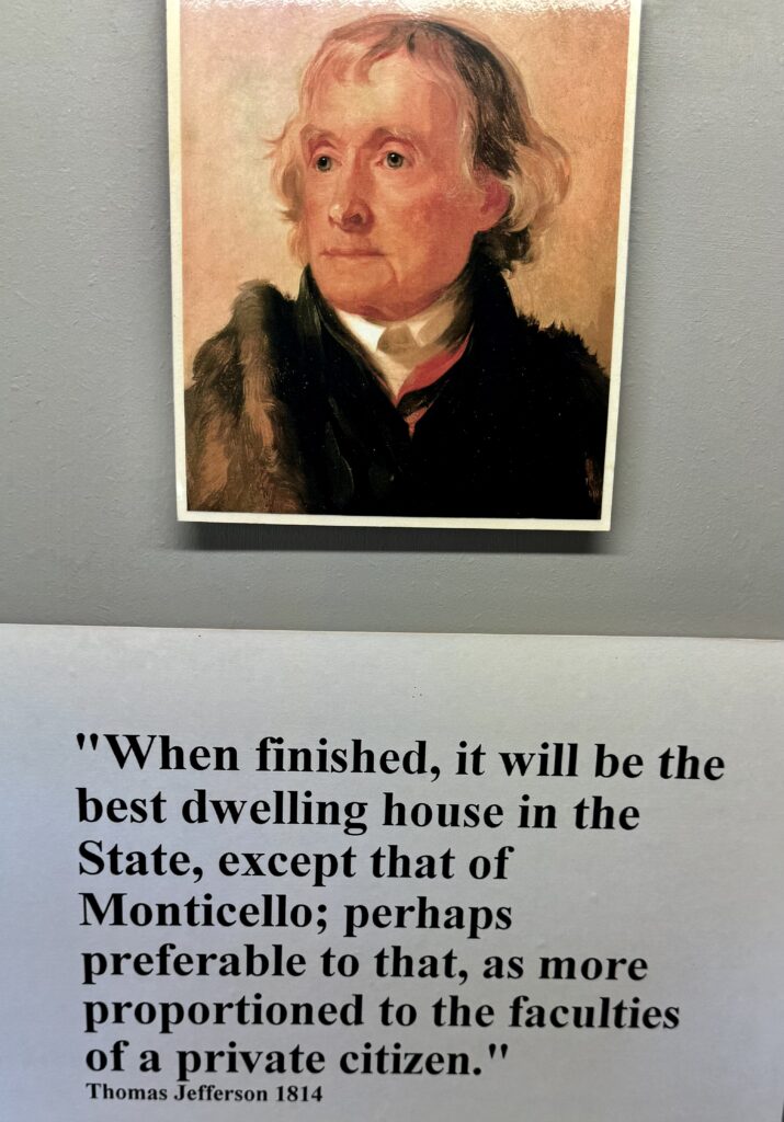
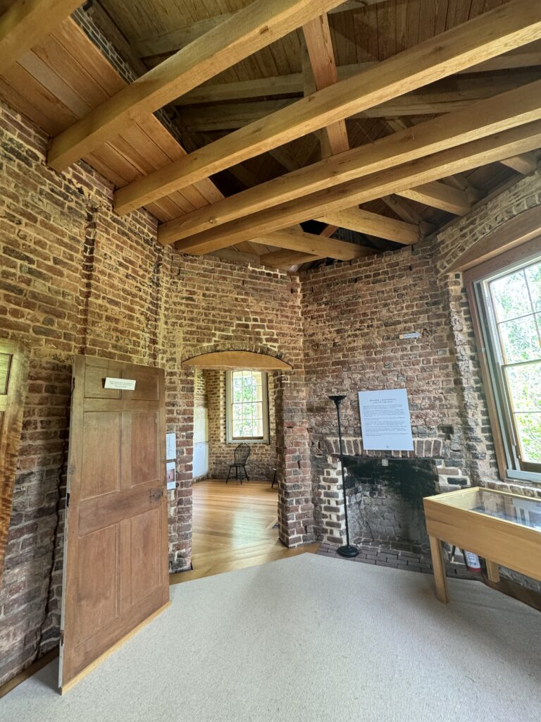
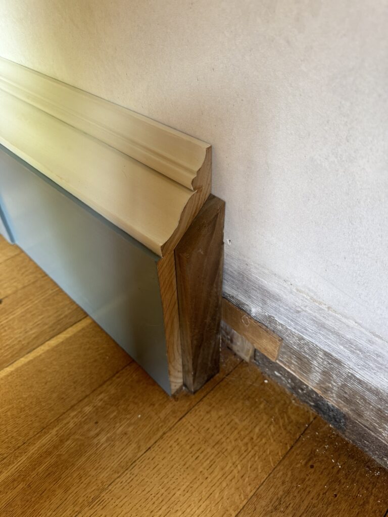
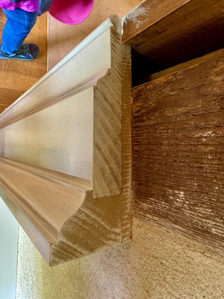
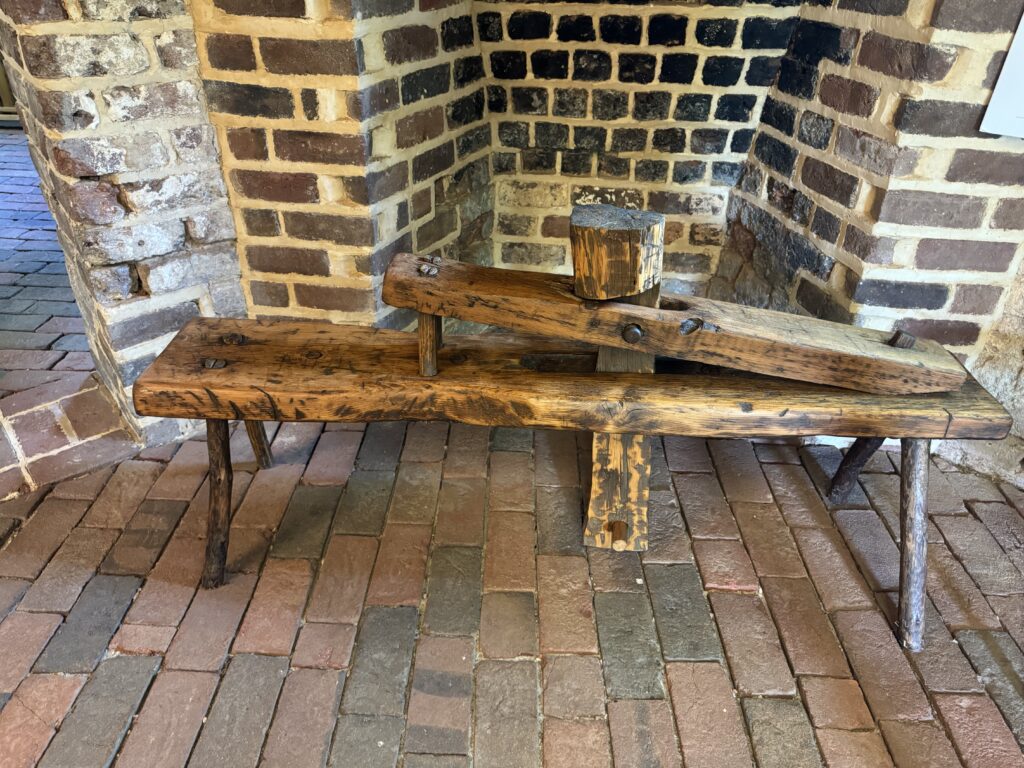
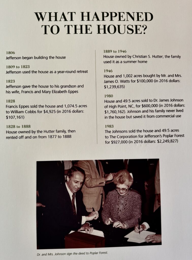
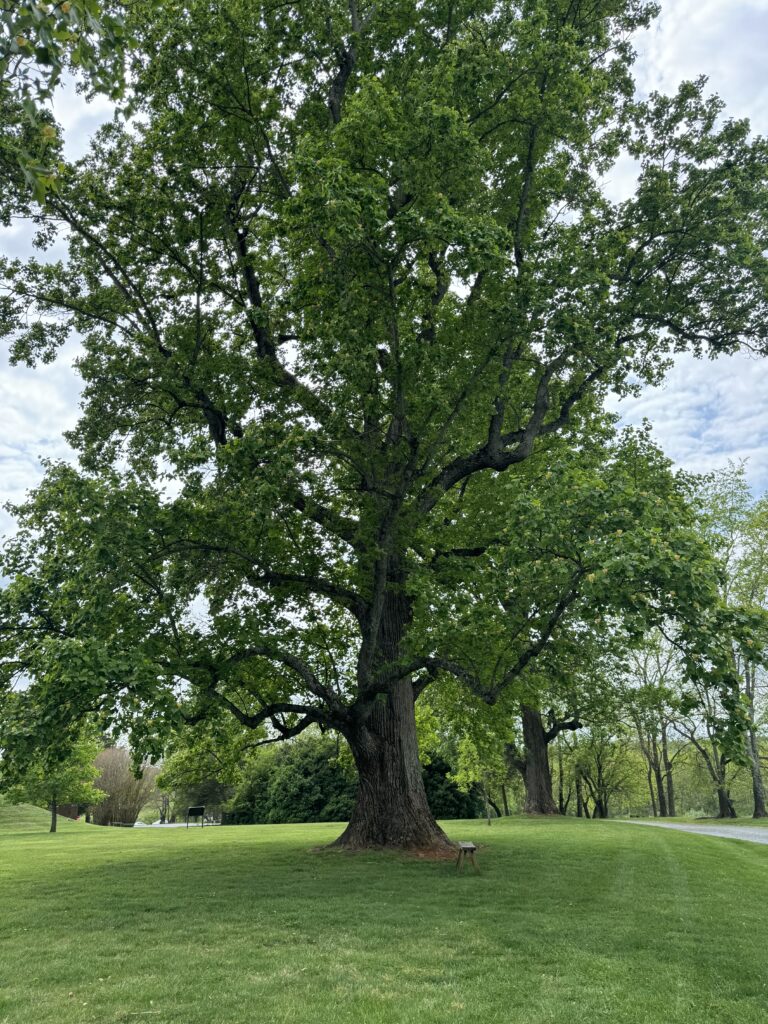
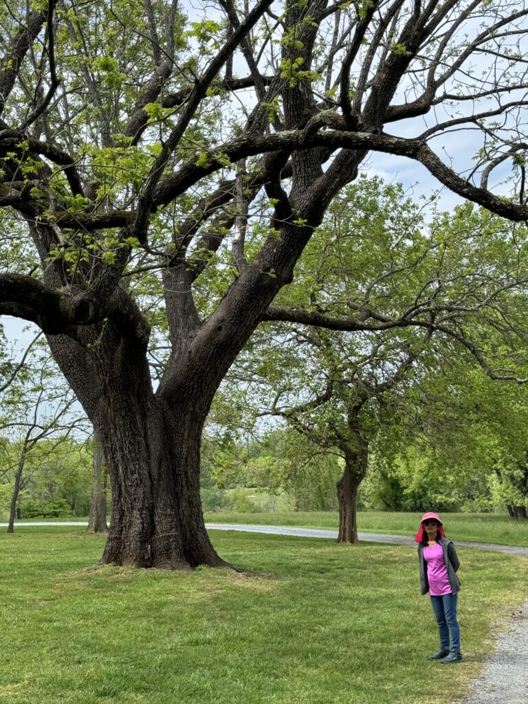
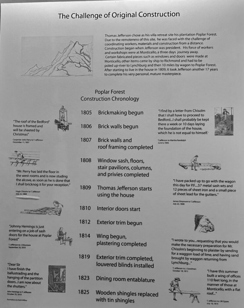
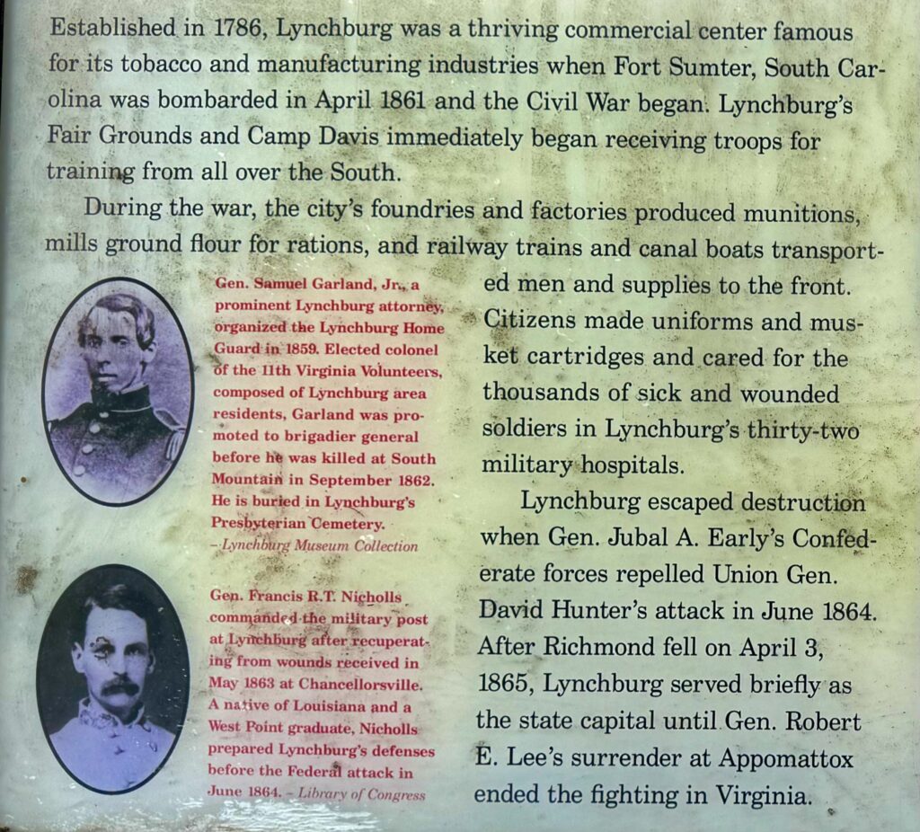
On north the next day to historic Lynchburg, Virginia. Our first stop was at Thomas Jefferson’s rural vacation home, called “The Poplar Forest”, in a 1000 acre wooded parcel.

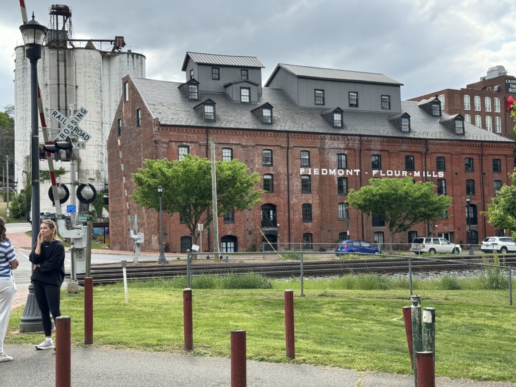
Then on to Lynchburg itself. We had a charming walk through the old town area, still full of many original big brick buildings. Many commercial building have been converted into lofts that can be made into apartments. The James River (that flows on down later to historic Jamestown) borders the town. The close proximity of Washington, D.C. and Virginia is a peculiarity of the Civil War. Of course, moving around by horseback and cart was slow then.
It rained here last night. On to Reston, Virginia today to visit a Stanford friend. Tomorrow should be sunny and high 80s there.
I’m behind on posting because we’re busy! Had two lovely days in Reston.
We decided to not pay what two nights costs in Washington, D.C. ($700-1,000), and just drove in for the day and then on to a less expensive place to sleep in Maryland on the way to Pittsburg.
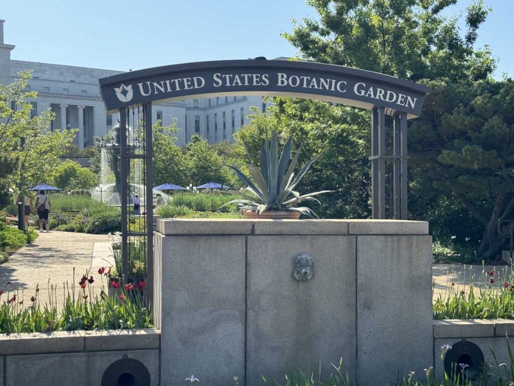
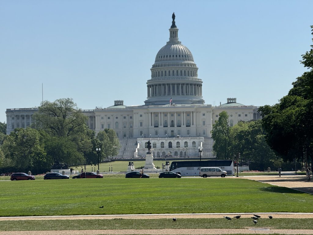
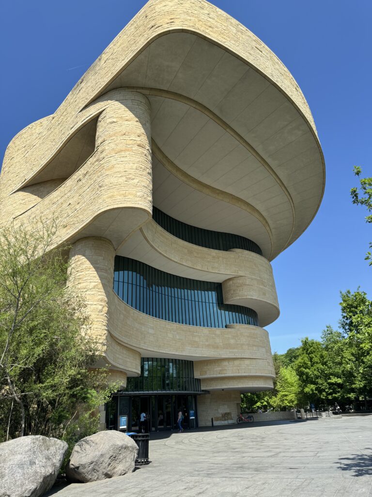
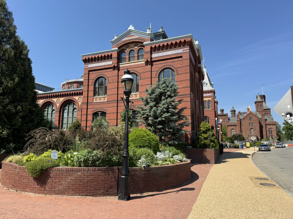
Washington D.C. in the Capitol Mall area is full of more things to see and do than can be enjoyed in one day. The Capitol Building was unfortunately closed to visitors for the day. The nearby National Botanic Garden is beautiful.
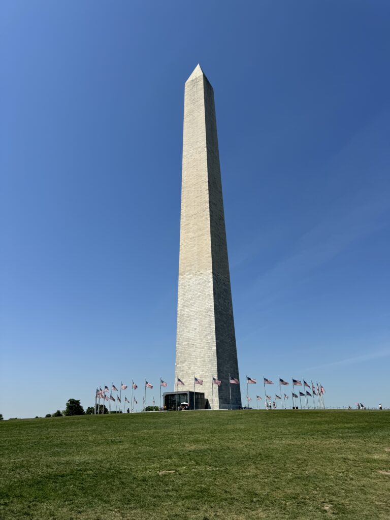
We then walked the two mile long Mall towards the Washington Monument and the Lincoln Memorial, passing by several museums part of the Smithsonian group. Pin finds museums difficult, as long explanatory placards in complex English are tiring for her. So we walked outside instead.
We had arranged a visit to the office of our US Representative, Marie Perez for 2pm, and it became clear we would not be able to make it back there in time on foot. So we used an online app to rent two ‘Lime’ electric scooters.
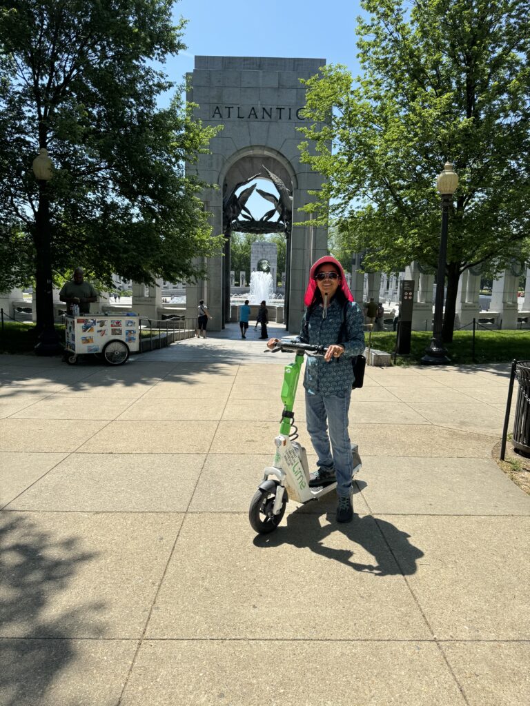
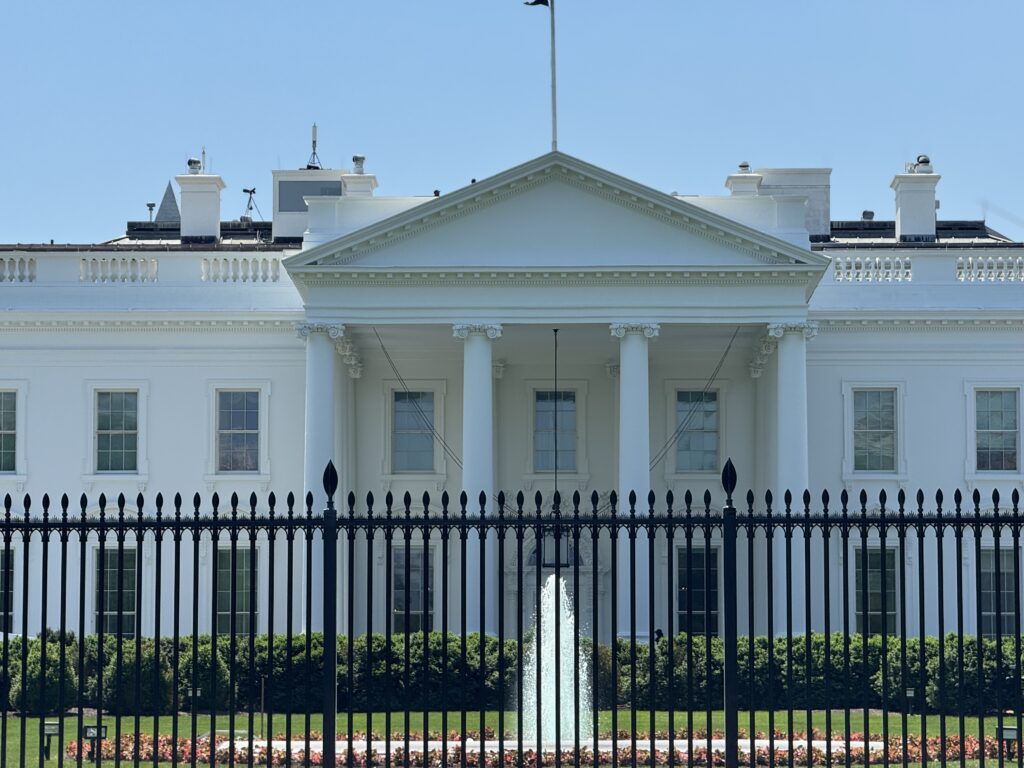
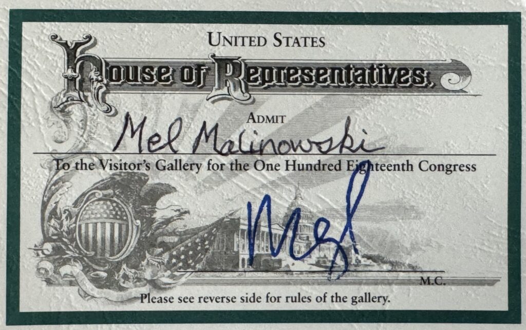
Marie was back in District 3, but a staffer graciously managed to get us through security to the Gallery of the US House of Representatives in the Capitol Building. Most impressive! At 2pm, the House was gaveled into session (not by the Speaker), and then went into remission until 6:30pm when most of the Representatives would have returned from their districts. We’re glad we took the time to visit Washington. Perhaps another time, we’ll stay longer to visit all the other attractions.
Then we drove on to an overnight stay in Frederick, Maryland on our way to Pittsburg. The scenery was getting flatter with lots of farmland and dairy farms.
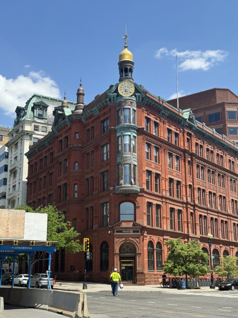
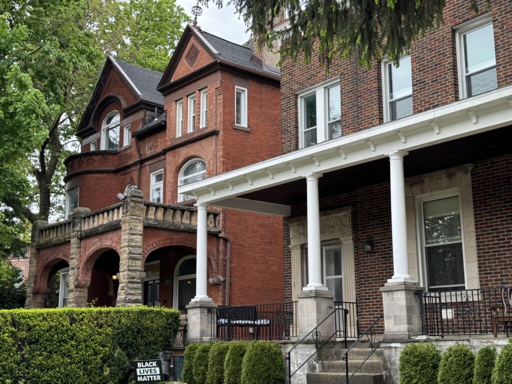
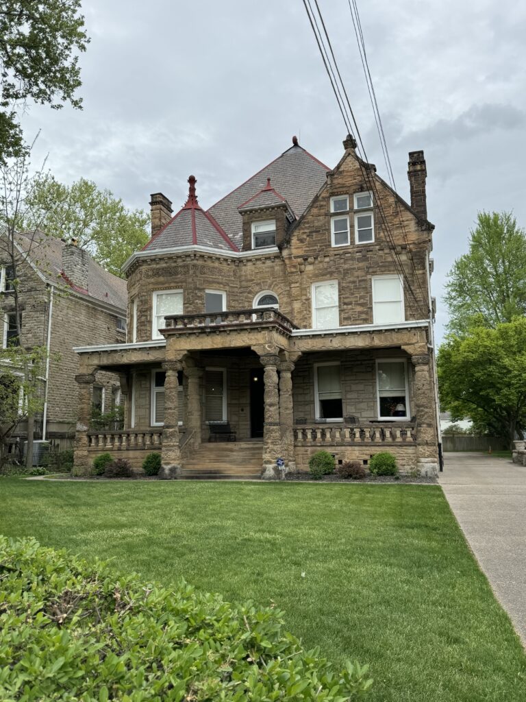
In Pittsburg, we stayed at the Baker Square area. Our purpose was to visit a nephew who now lives there. My ideas about Pittsburg (dirty industrial steel city) were outdated. It is re-inventing itself, taking advantage of the many historic buildings there. We walked 2 miles over to his home and back, through a marvelous neighborhood of grand old houses and churches. We would happily come here again.

The next day, we took a hike on an island in the middle of the Allegheny River in the middle of Pittsburg, and learned this bit of history:
“George Washington’s military adventures as a young officer on the frontier west of the Allegheny Mountains are forever linked to the headwaters of the Ohio River and Pittsburgh.
In 1753, the Colonial Virginia government ordered the 21-year old Washington to deliver a message to the French army north of Pittsburgh Virginia demanded that the French leave Great Britain’s territory west of the Allegheny Mountains. The French refused, and the two European powers came closer to a war over which nation would control North America.
In his haste to return to the Virginia colony with the French reply, Washington left his small party north of the Allegheny River and raced south with his guide, Christopher Gist.
They found the river full of moving ice and spent a day making a raft to pole across the river. Halfway across they were caught in the rapid icy current. Washington fell into the freezing river and nearly drowned.
Washington, a trained surveyor, later looked down from a hill above the rivers and wrote that the Point “was extremely well situated for a fort, since it has absolute control over both rivers.” Soon after, Washington was defeated by the French and Indians at Fort Necessity, and then in 1755 miraculously survived the massacre of General Braddock’s army. In 1758, as a British officer, Washington returned to Pittsburgh to defeat the French. This victory led to the construction of Fort Pitt and British control of the Ohio River valley.
Historians have long considered that American history might have been very different if Washington had drowned in that icy river.”
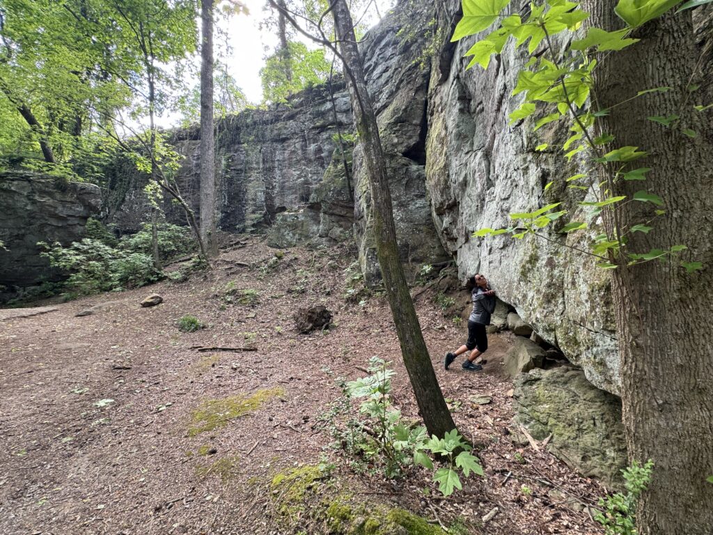
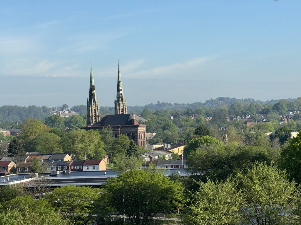
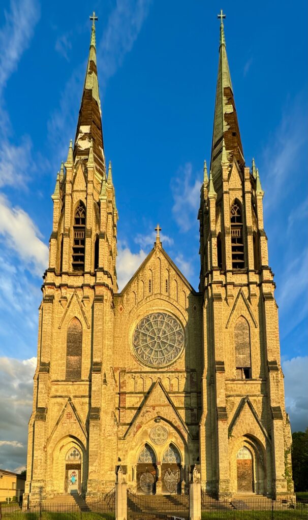
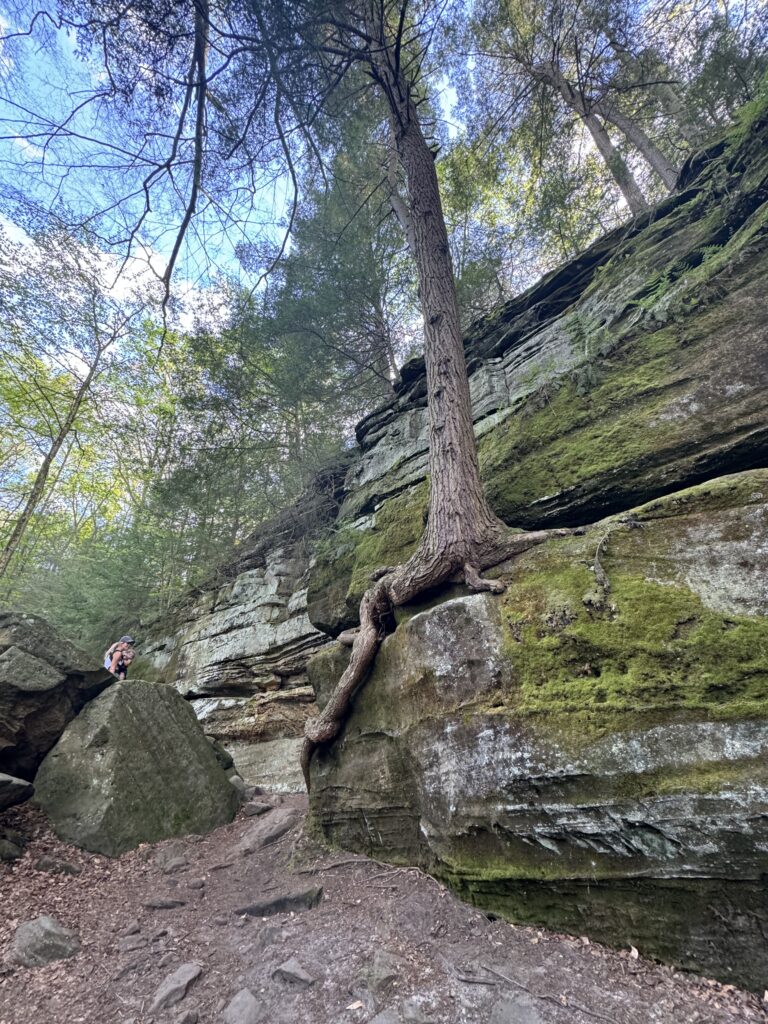
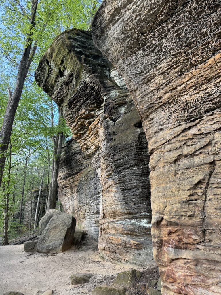
Then we drove a mere 95 miles to a city near Cleveland, Ohio in the Kent State University area to visit another nephew, a professor at KSU. They took us on a great hike there in the Cuyahoga National Park to some dramatic rock formations called the Ledges, unlike any I’ve seen elsewhere.
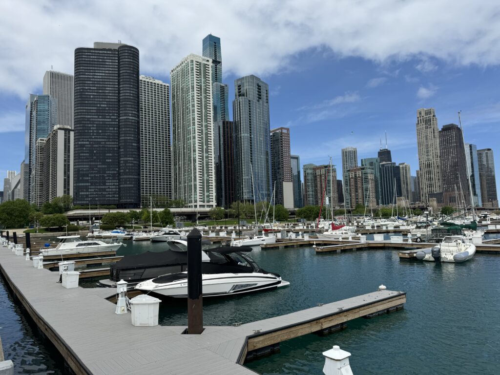
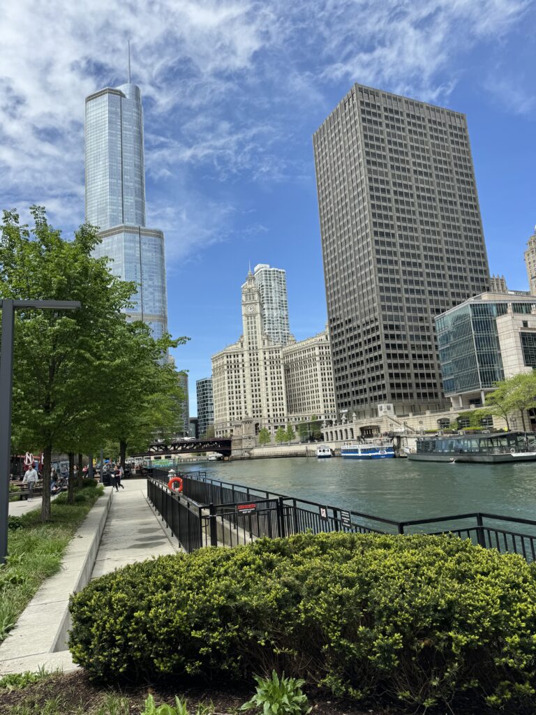
Then on to Indiana on the way to Chicago, Illinois. We made a detour to visit Edgewater Park in Cleveland to see Lake Erie. From there, Erie stretches off to the horizon, illustrating why these are called “The Great Lakes”. The main highway US90 runs along the northern border of Indiana, which is as flat as where we live in Isaan, Thailand, with big fields under cultivation, and lots of barns and silos. We stayed outside Chicago in Hammond, Indiana, since Chicago is just as expensive as DC downtown (parking overnight: $58, for example), and driving in to visit for the day. We overnighted in Fremont, Indiana along the way.
We woke up to a rainy morning, and drove in the heavy rain to Chicago. Tessie complained that the Full Self Drive was degraded, but still managed to drive the whole way! It cleared as we approached downtown Chicago. I remember seeing “Made in Chicago, Ill.” on Mom’s piano at age 6 and thinking it was pronounced “Chick-A-Go, ill”
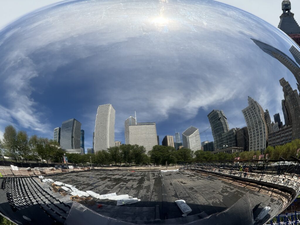
Downtown Chicago near the Chicago River is as dramatic an urban area as you can find. In fact, after a walk along the two mile long ‘Riverwalk’, Pin declared Chicago #1 in the USA, saying she could imagine living there. I explained that not all of Chicago is so clean and bright. Cue the song lyric “The South Side of Chicago is the baddest part of town, and if you go down there, you better just beware of a man named Leroy Brown.” But all was lovely where we walked on a crisp cool early May day.
Then, back to Hammond, Indiana to sleep. On the drive, we could see the smokestacks and factories of steel city Gary, Indiana on the horizon. Lots of tiny brick homes in Hammond, and other wood sided slightly larger homes.

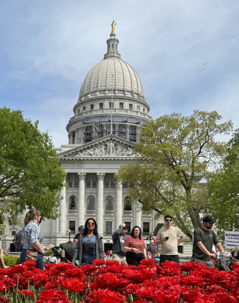
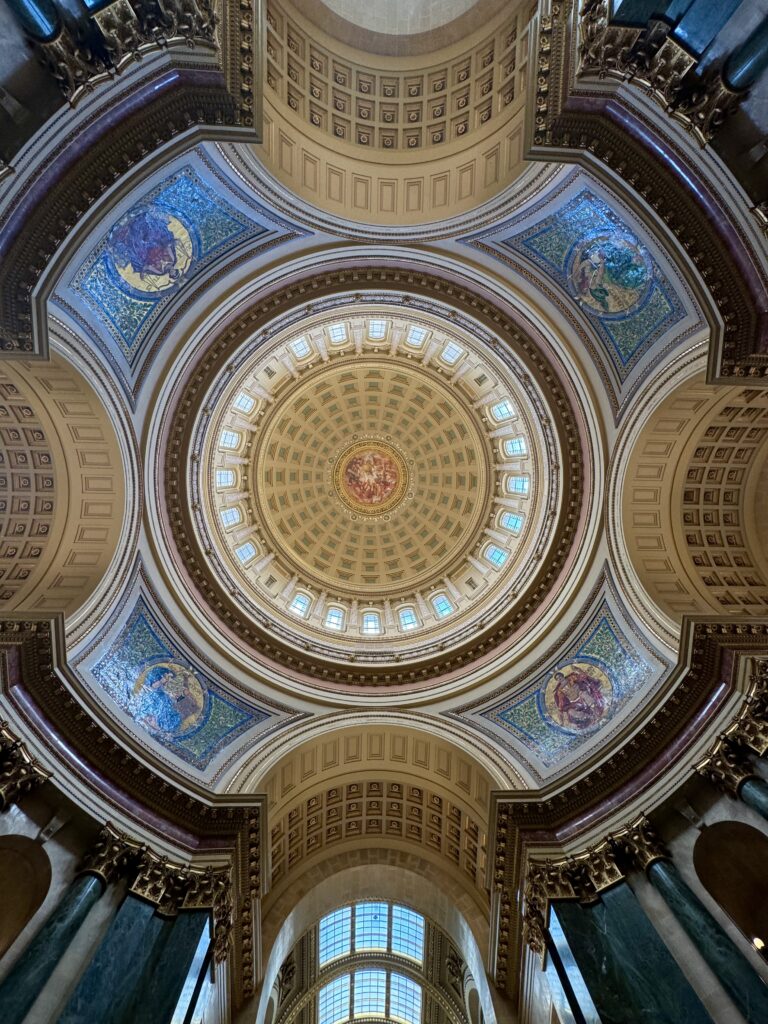
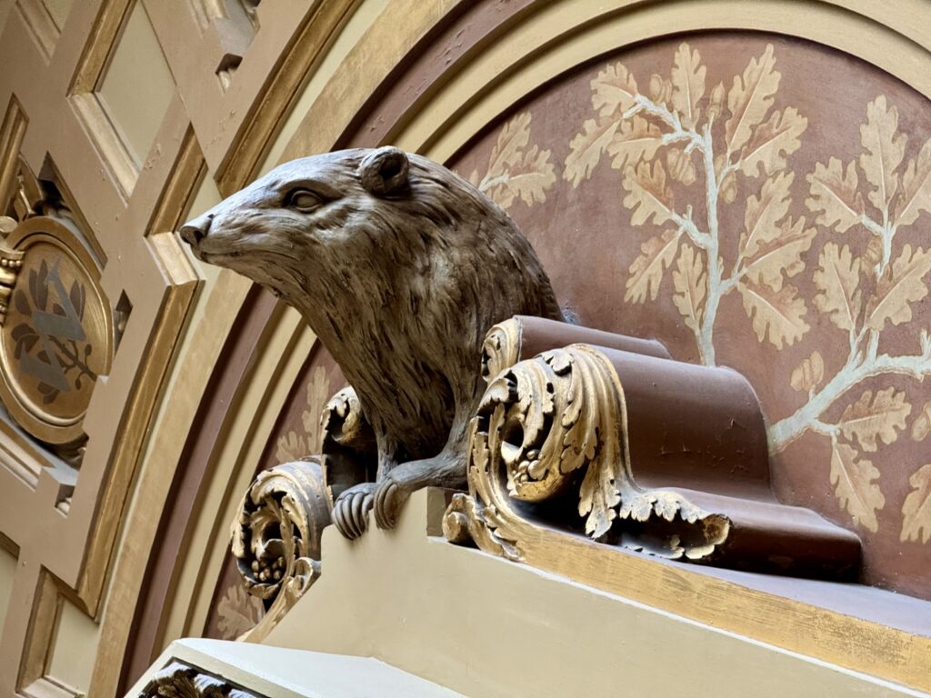
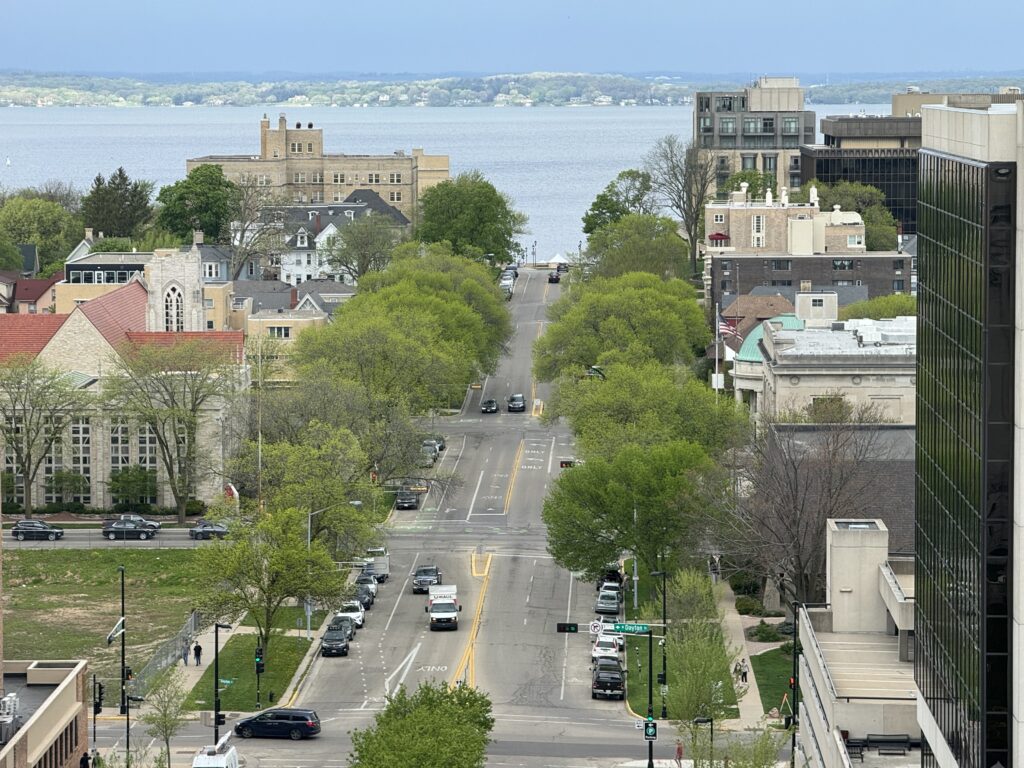
On to Madison, Wisconsin, today, home of the University of Wisconsin.
Madison is the capitol of Wisconsin, and the capitol building is one of the most beautiful ones we’ve seen in the USA.
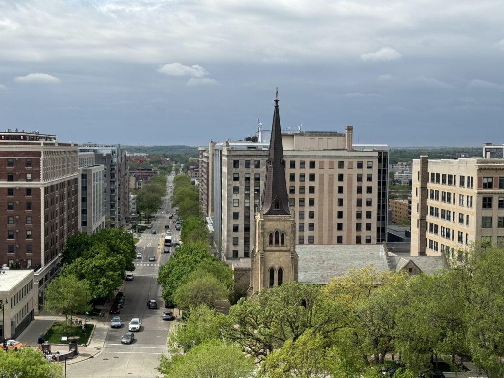
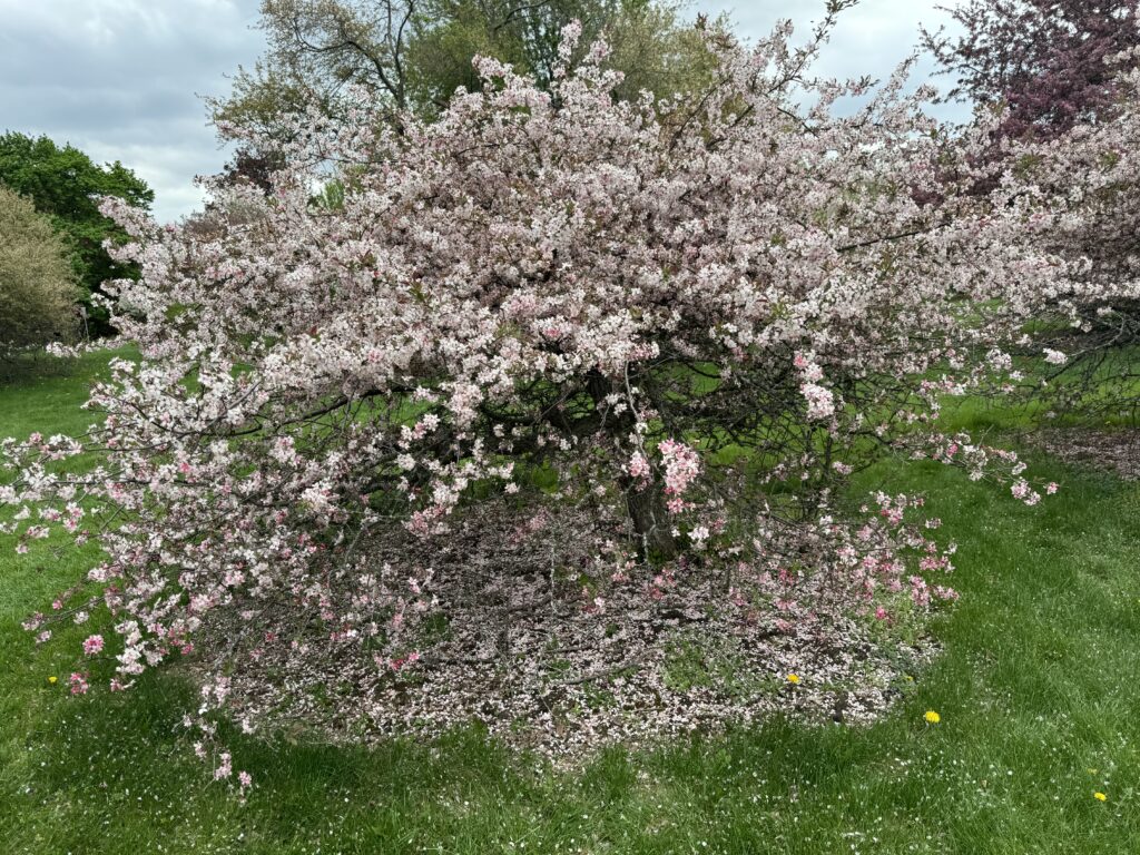
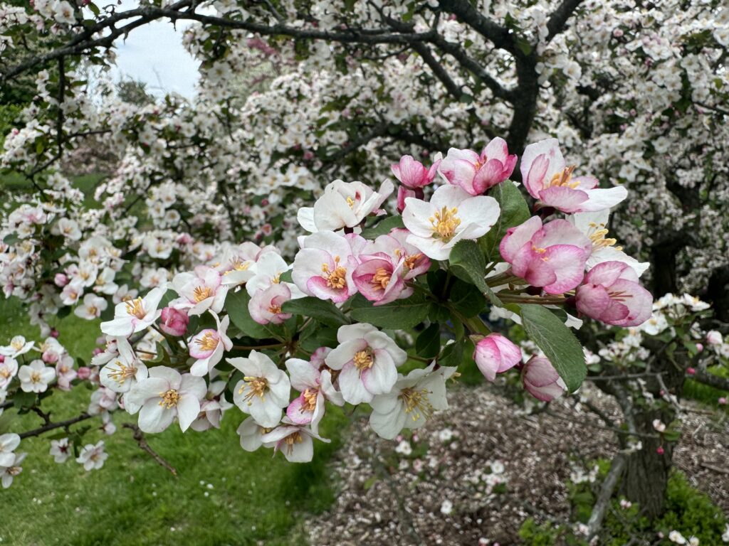
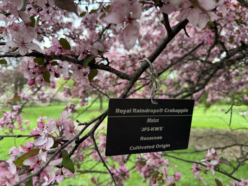
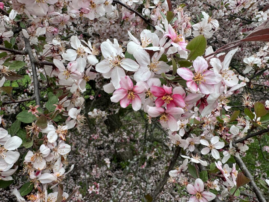
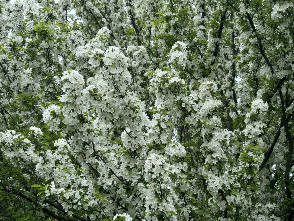
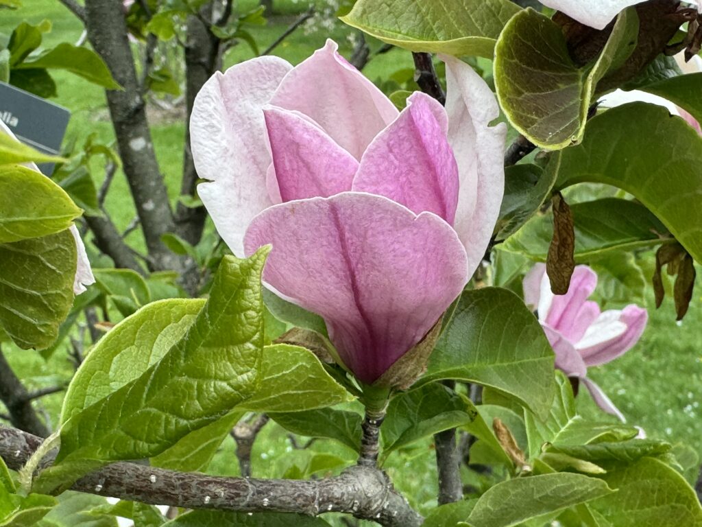
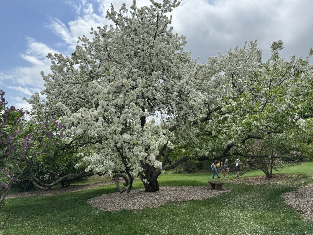
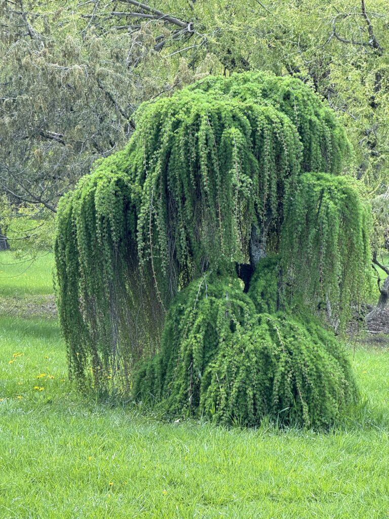
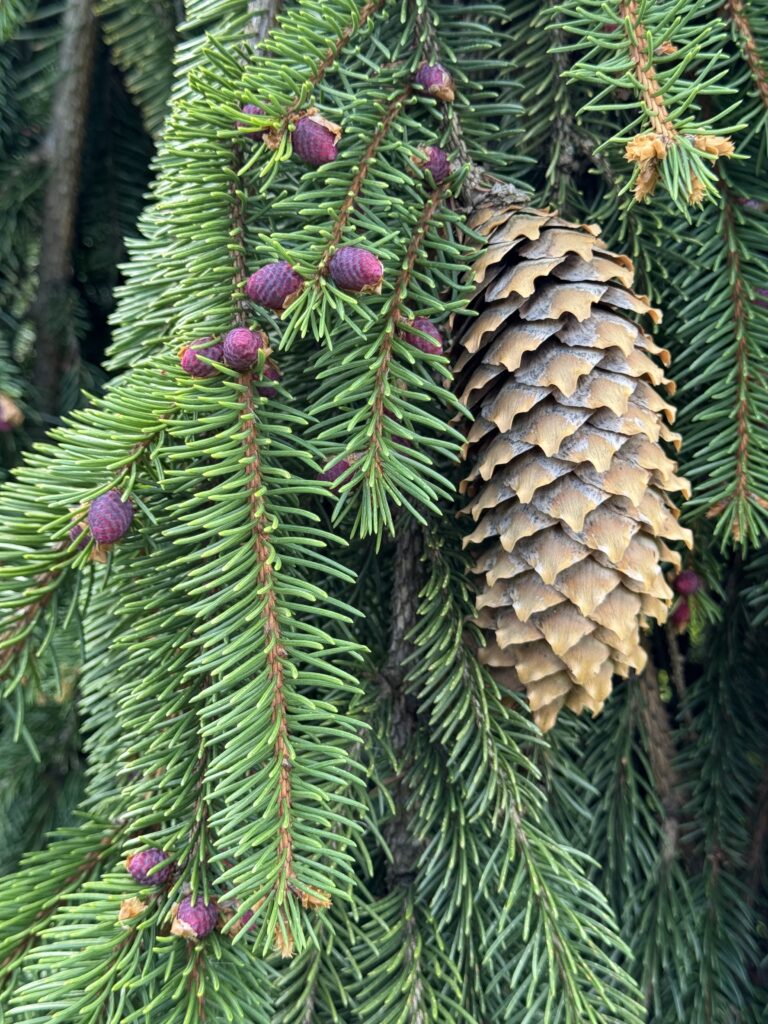
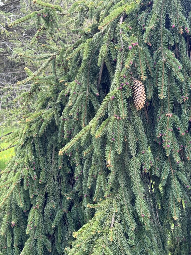
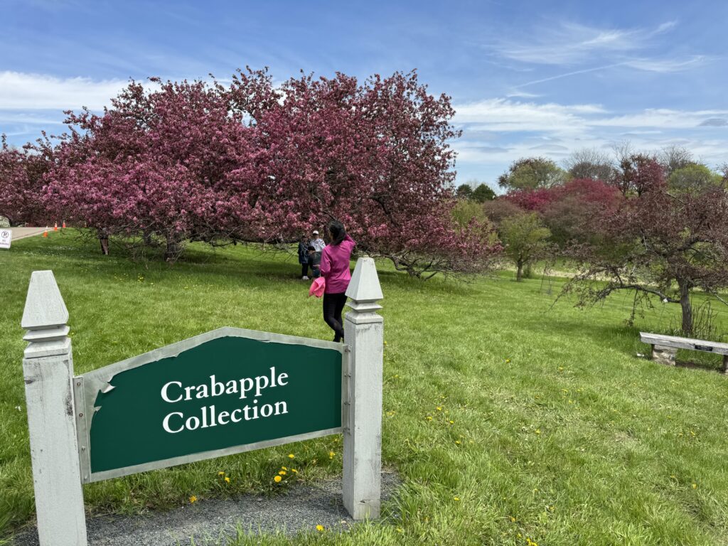
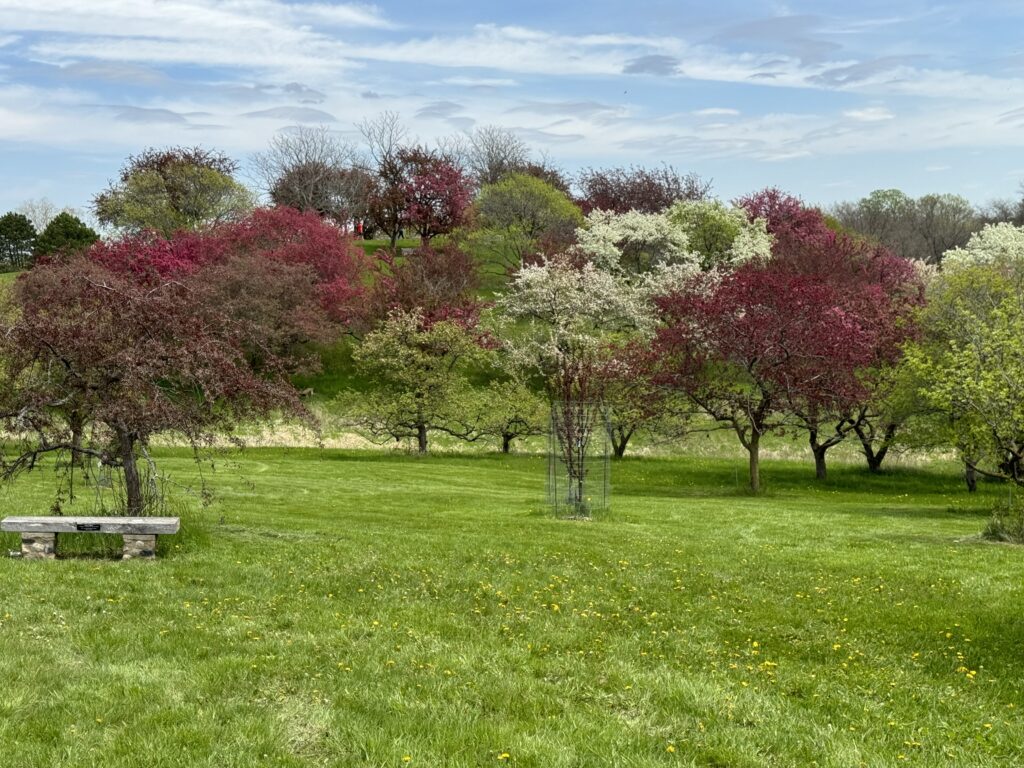
Next, we drove to the University of Wisconsin Arboretum. What a surprise! It is one of the most dazzling arboretums I’ve ever visited anywhere.
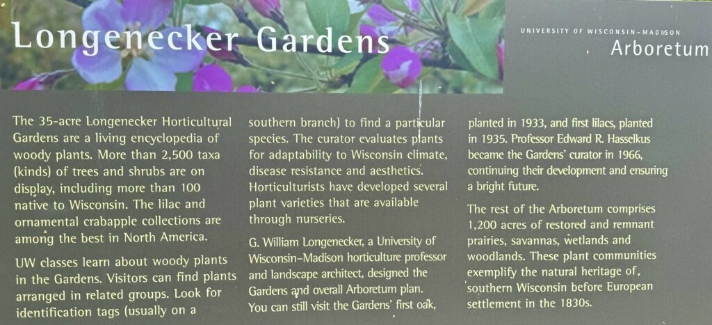
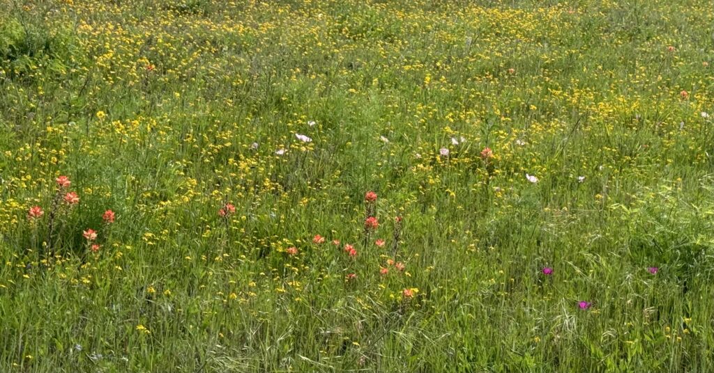
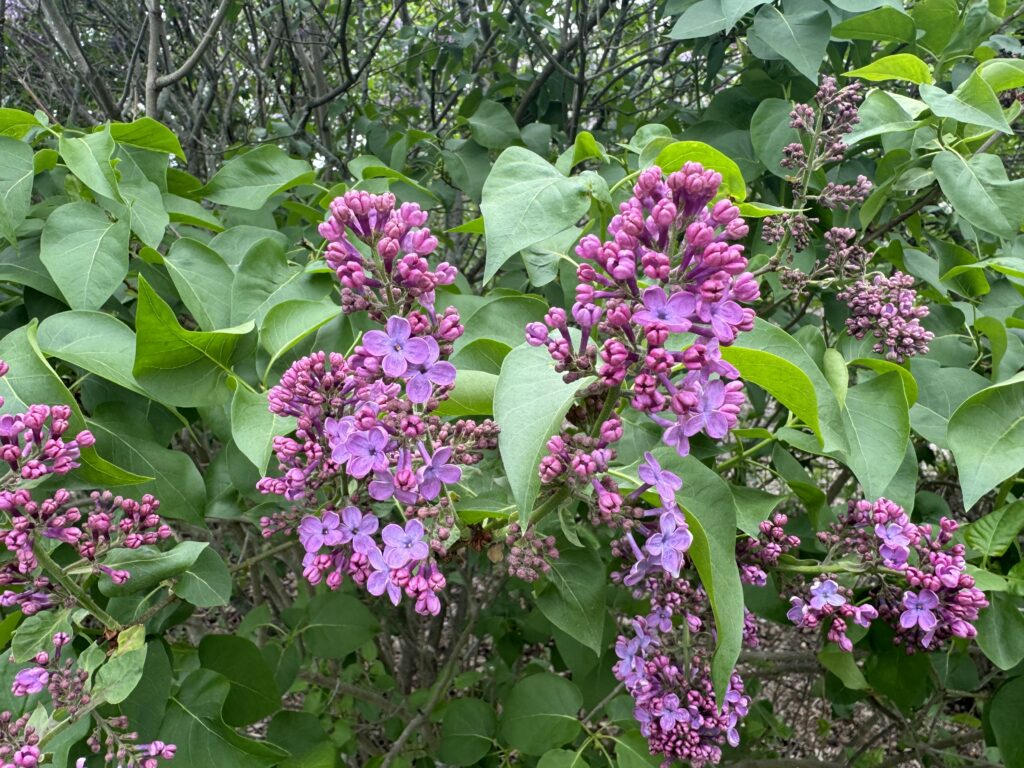
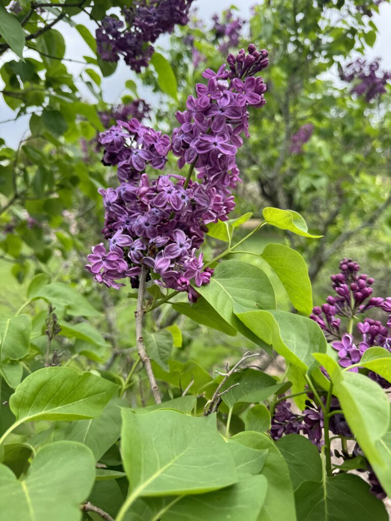
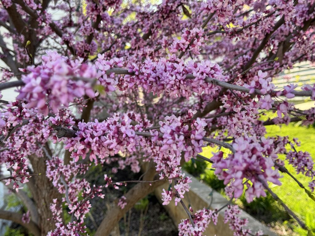
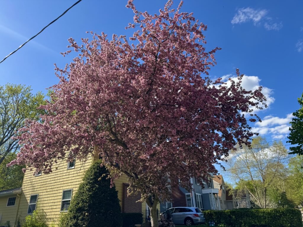
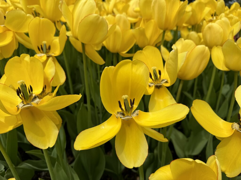
The lilac and crabapple trees were in full bloom, and the colors were dazzling. I had no idea there was such a variety of colored blossoms. It was like a color snowstorm!
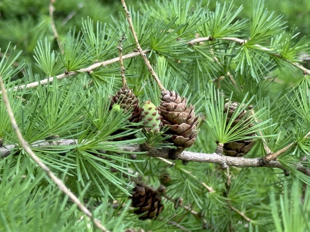
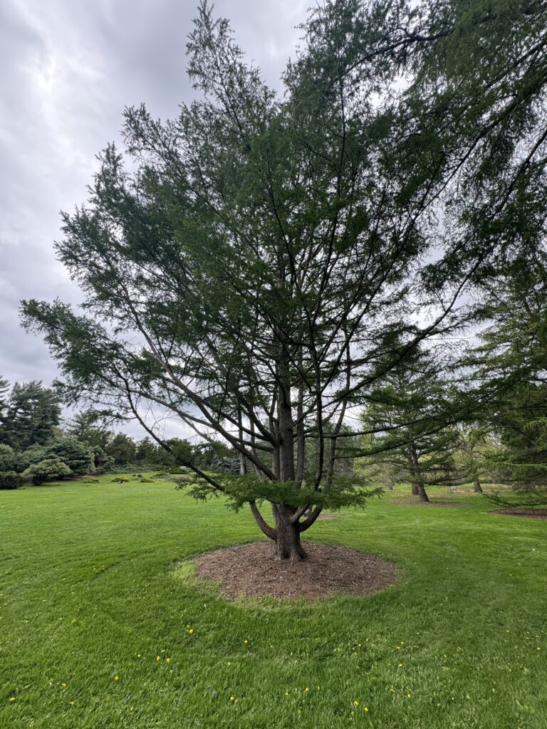
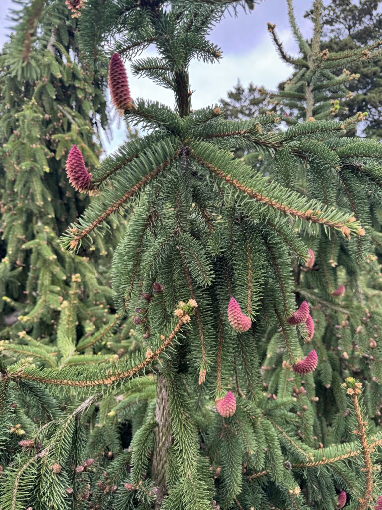
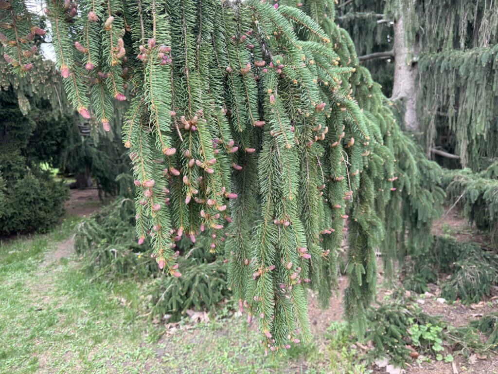
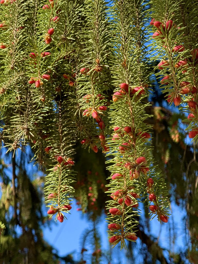
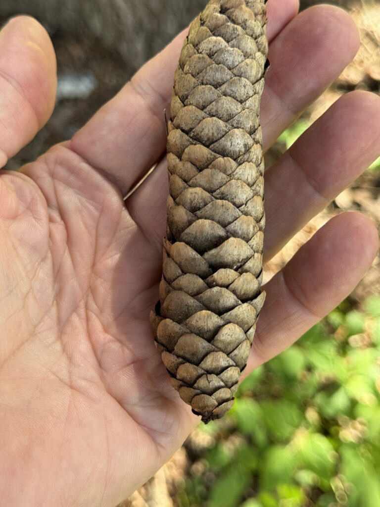
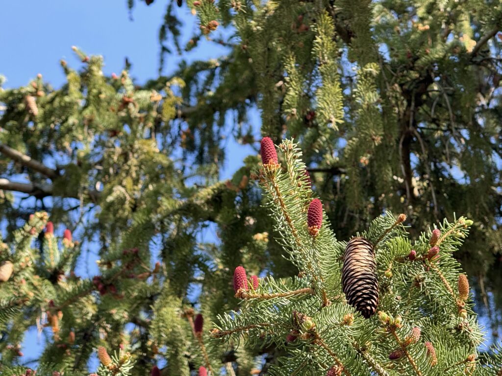
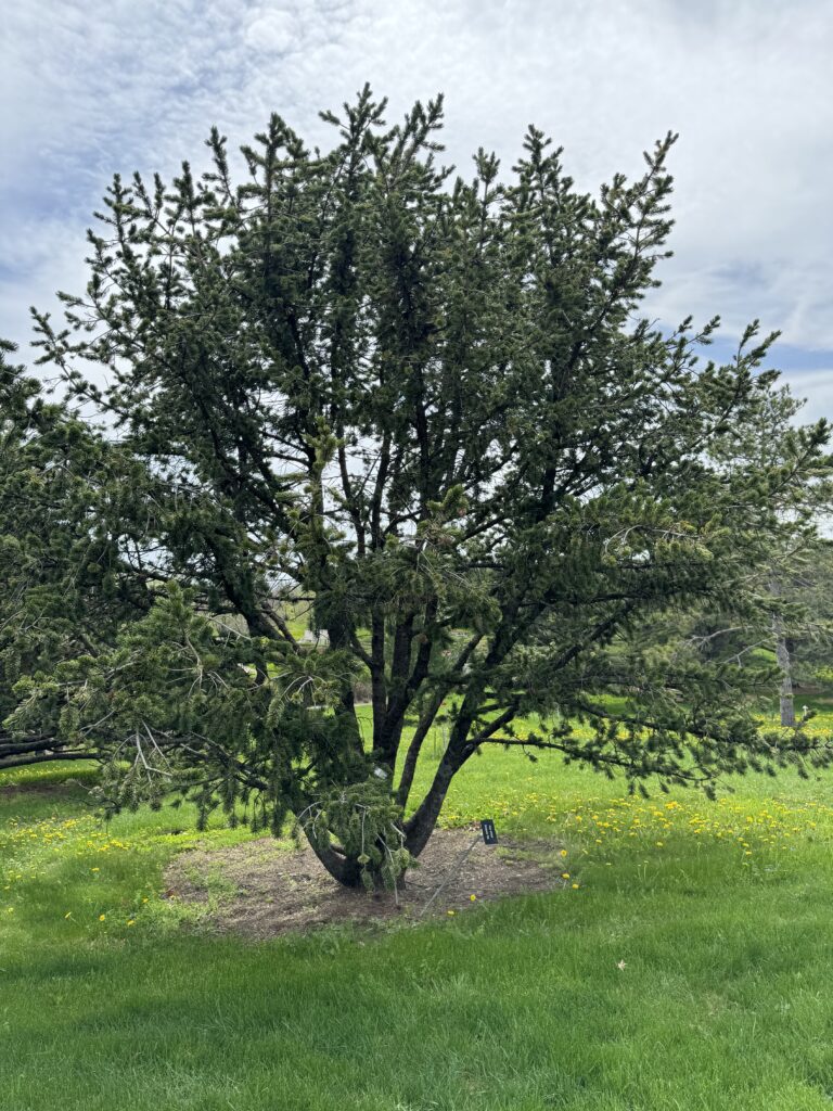
And then up the hill, conifers like I had never seen before, including Norway Spruce and a Polish larch
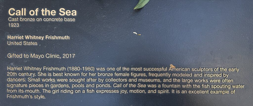
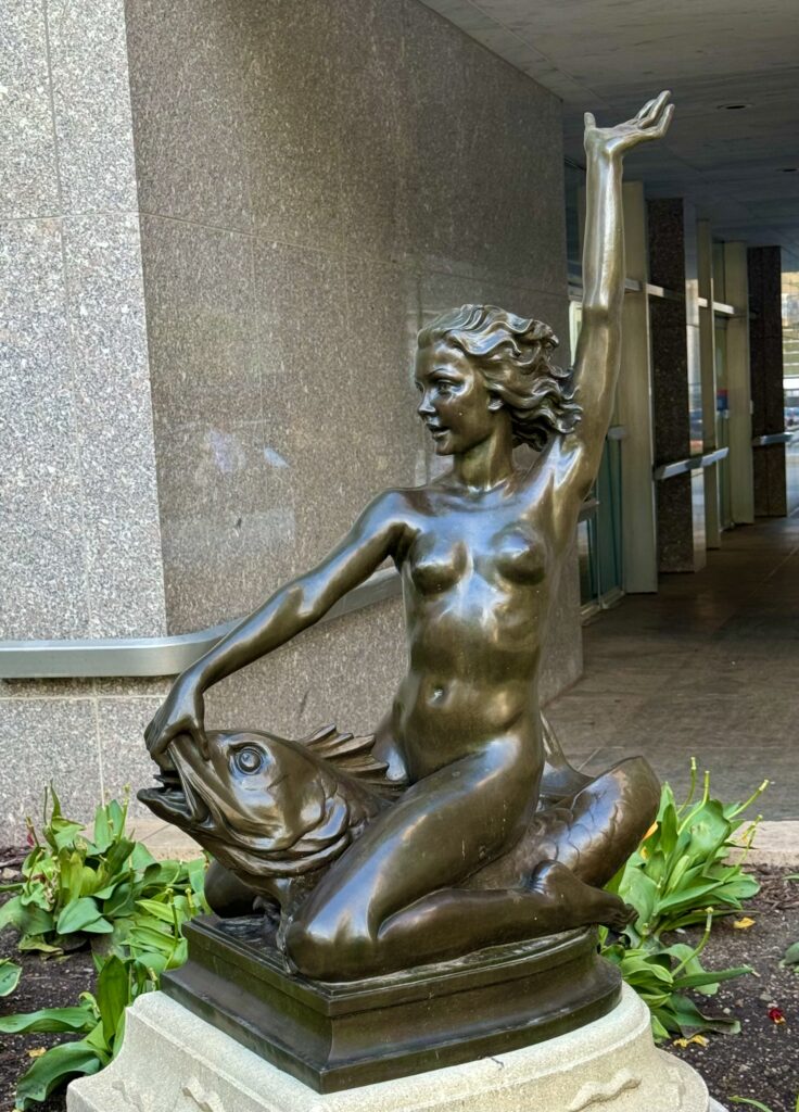
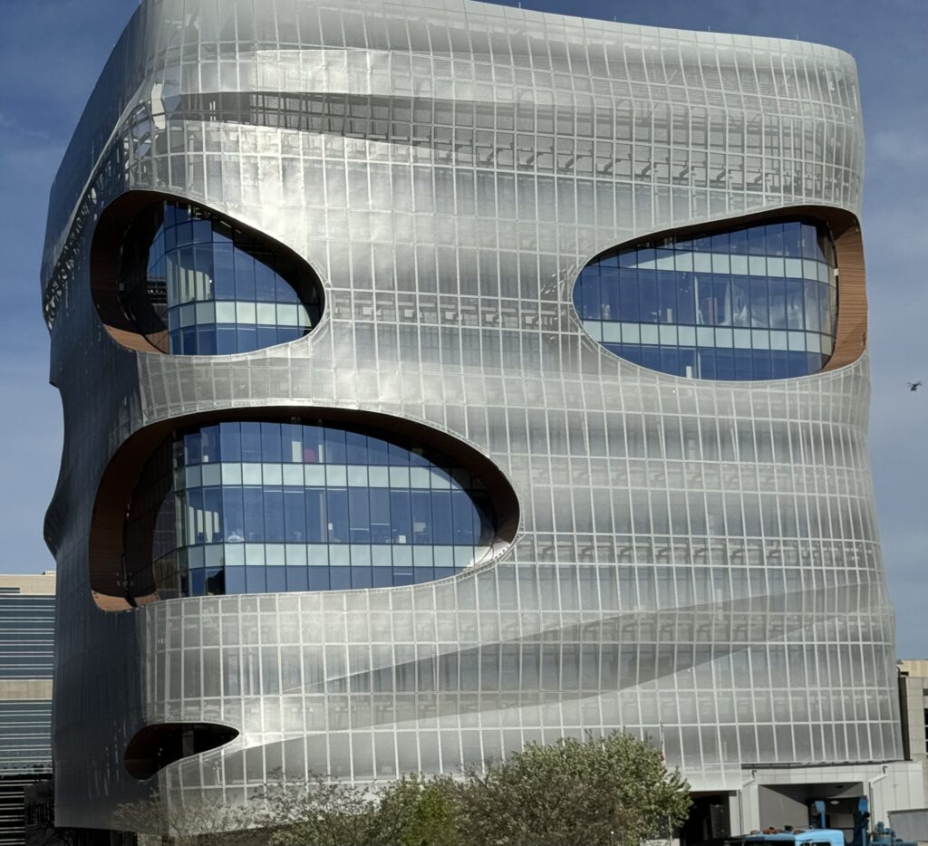
Then we headed on west via La Crosse, Wisconsin, where we crossed the Mississippi river for the 3rd time, and on to Rochester, Minnesota.
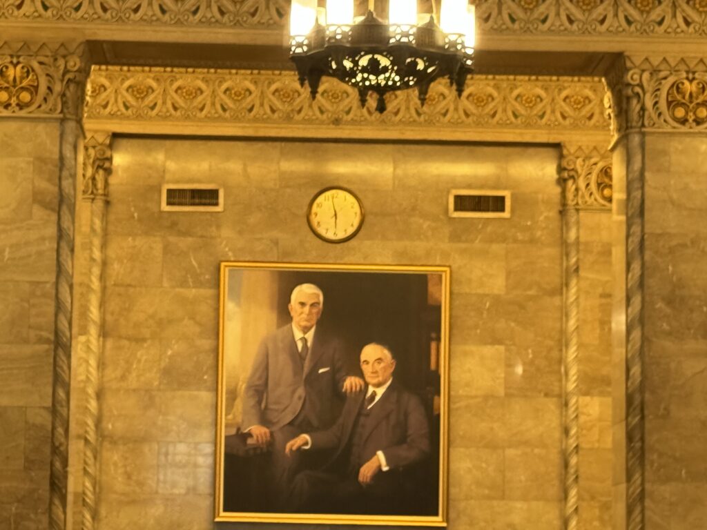
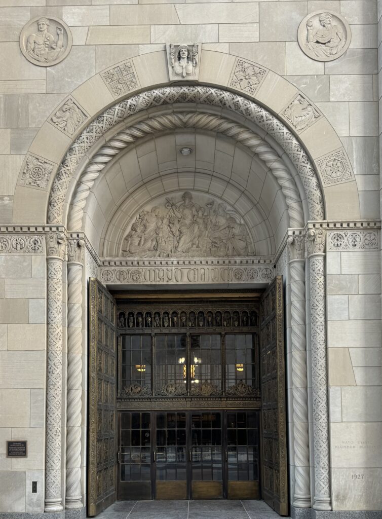
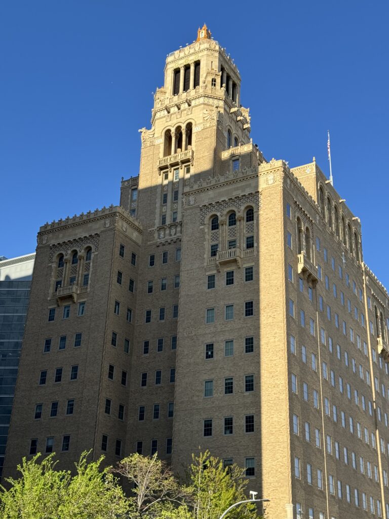
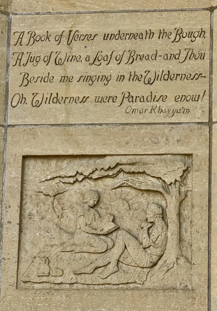
I had spend a month in Rochester 11 years ago, when Judy and I came here to the Mayo Clinic to get a diagnosis of which rare leukemia she had, which was baffling Kaiser. They finally determined it so she could get chemotherapy at Stanford.
Rochester is a lovely town, with marvelous big old trees and stately houses.


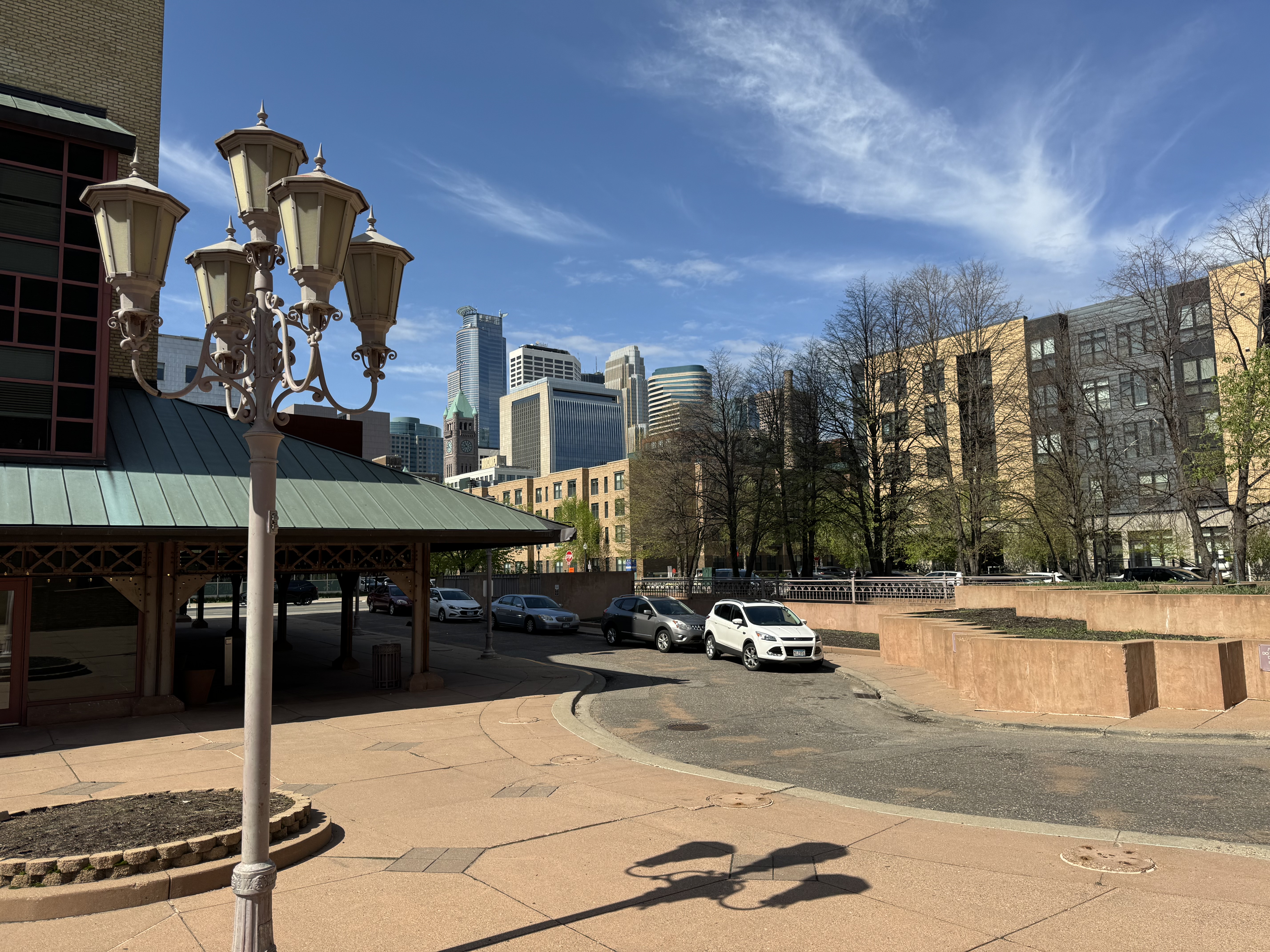
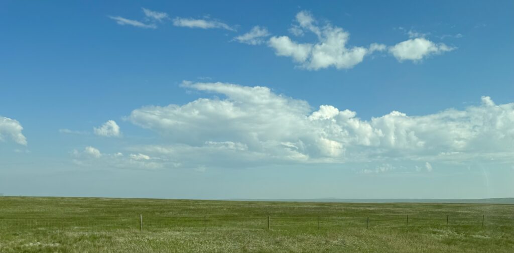
Then we drove up to Minneapolis. As we get into the ‘prairie’, I’m learning more what that means: grassland with few or no trees. This area had ‘tall grass’ in the east, and short grass further west where there was less rain. Central North America was under a vast sea millions of years ago, and then scoured by glaciers. What was left is some of the most productive farmland in the world. However, the removal of the grass by farmers in favor of crops left it vulnerable to the Great Dust Bowl during a period of drought, which was a factor in the Great Depression of the 1930s. Today, what you see are huge flat fields growing soybeans, wheat and corn.

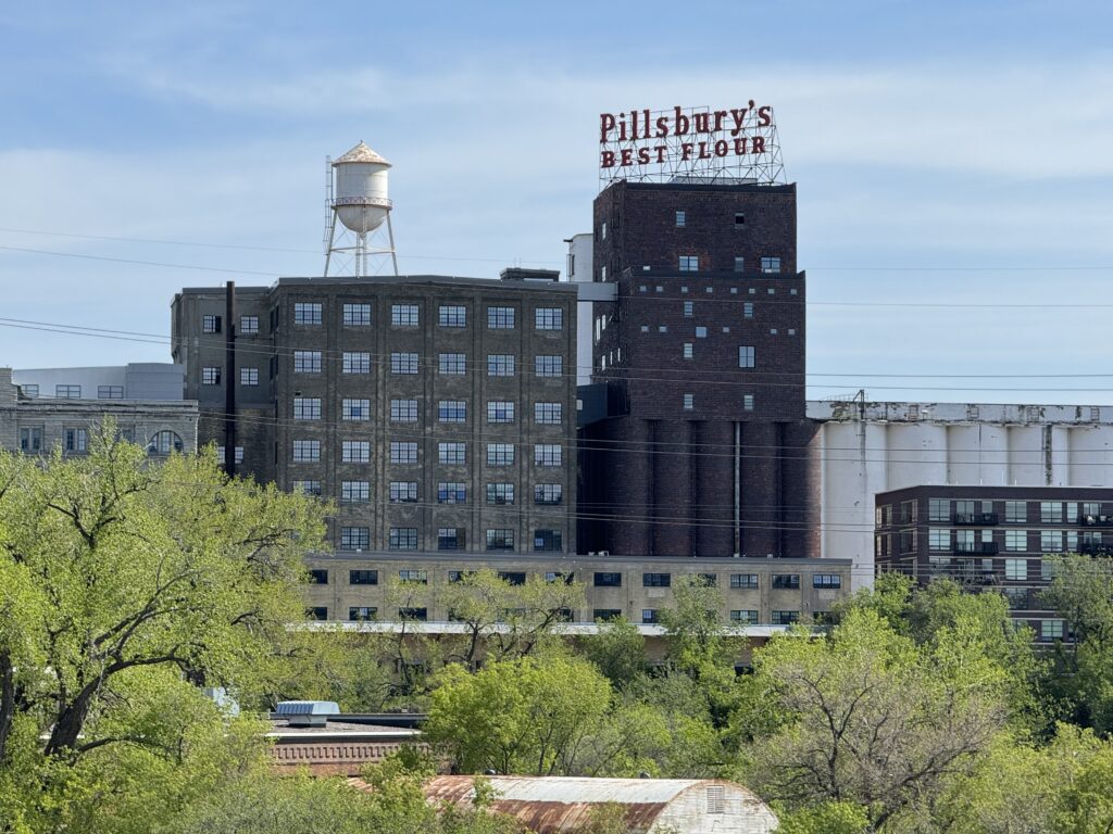
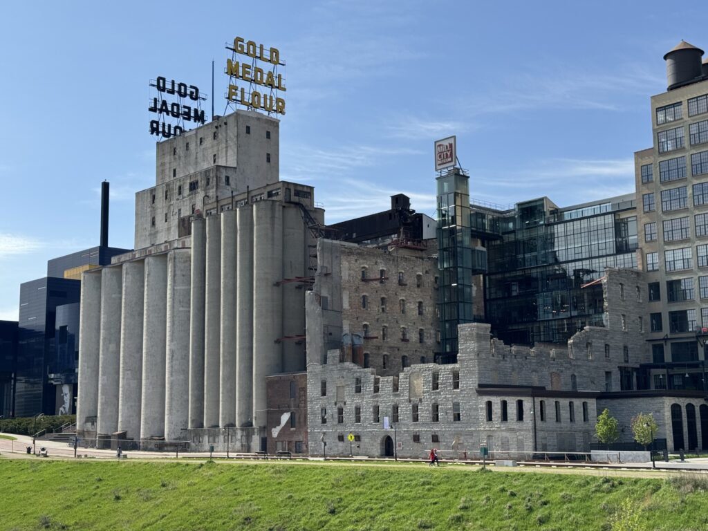
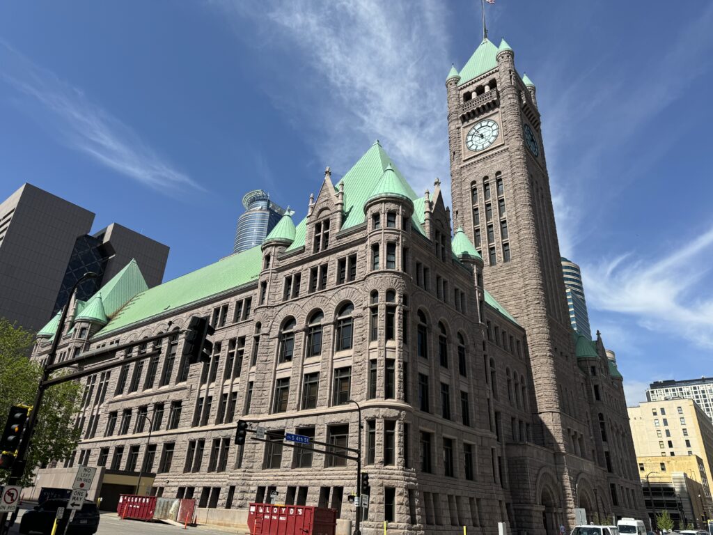
Minneapolis is a clean, modern city with lots of surviving brick buildings from its long history.
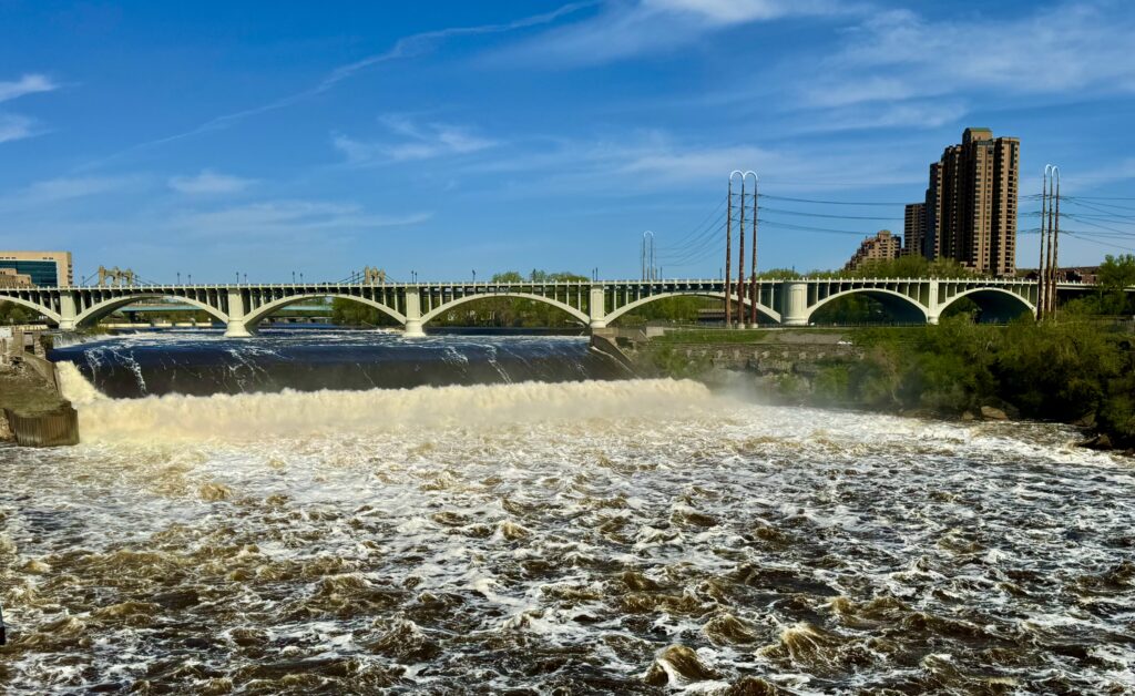
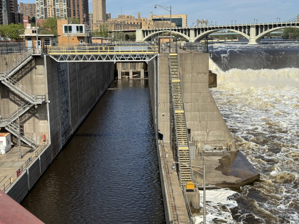
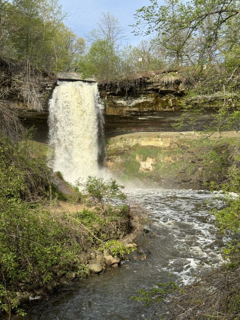
This was our fourth and last crossing of the Mississippi River. St. Anthony Falls there led to a ship lock to allow shipping on up to St. Paul.
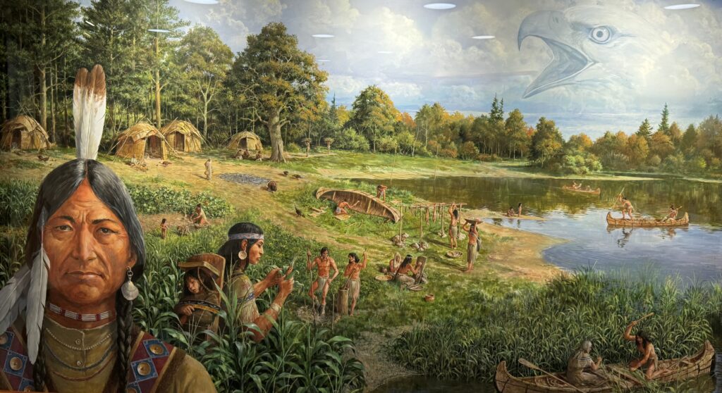
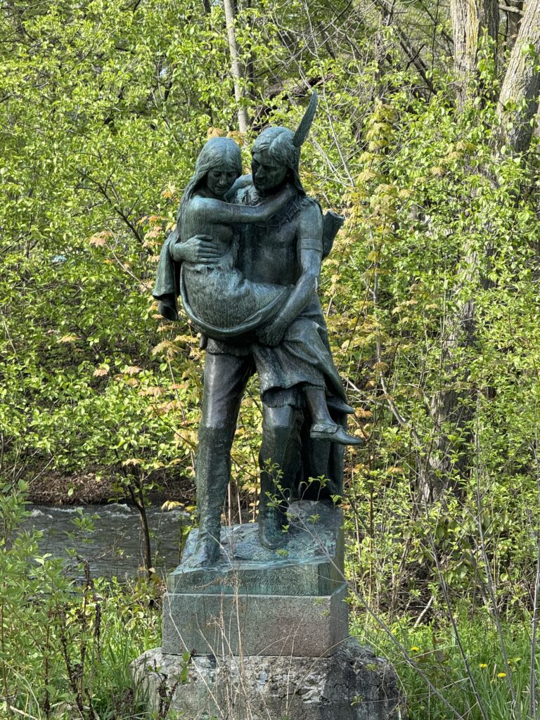
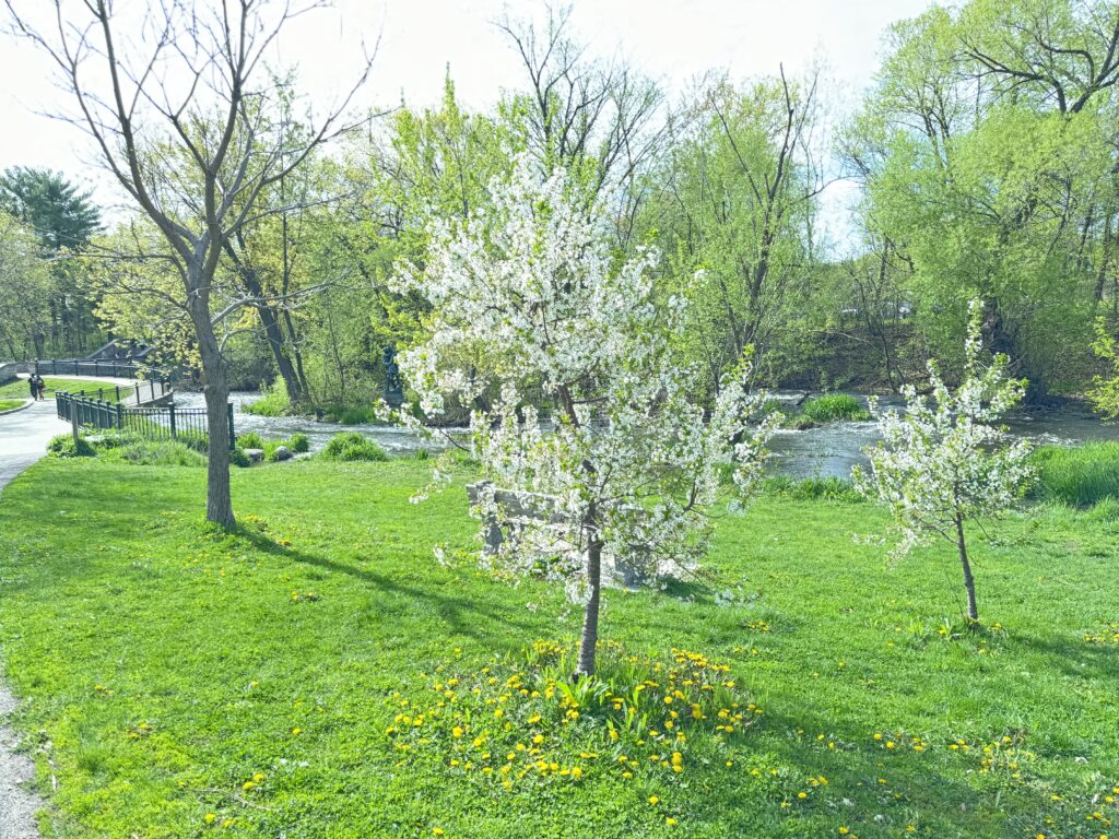
We also visited historic Minnehaha Falls, immortalized by Longfellow in the Song of Hiawatha, and toured the U of Minnesota Arboretum.


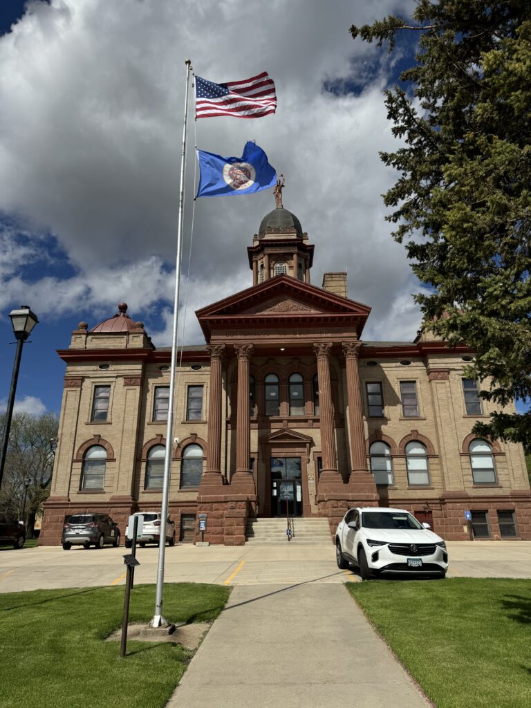
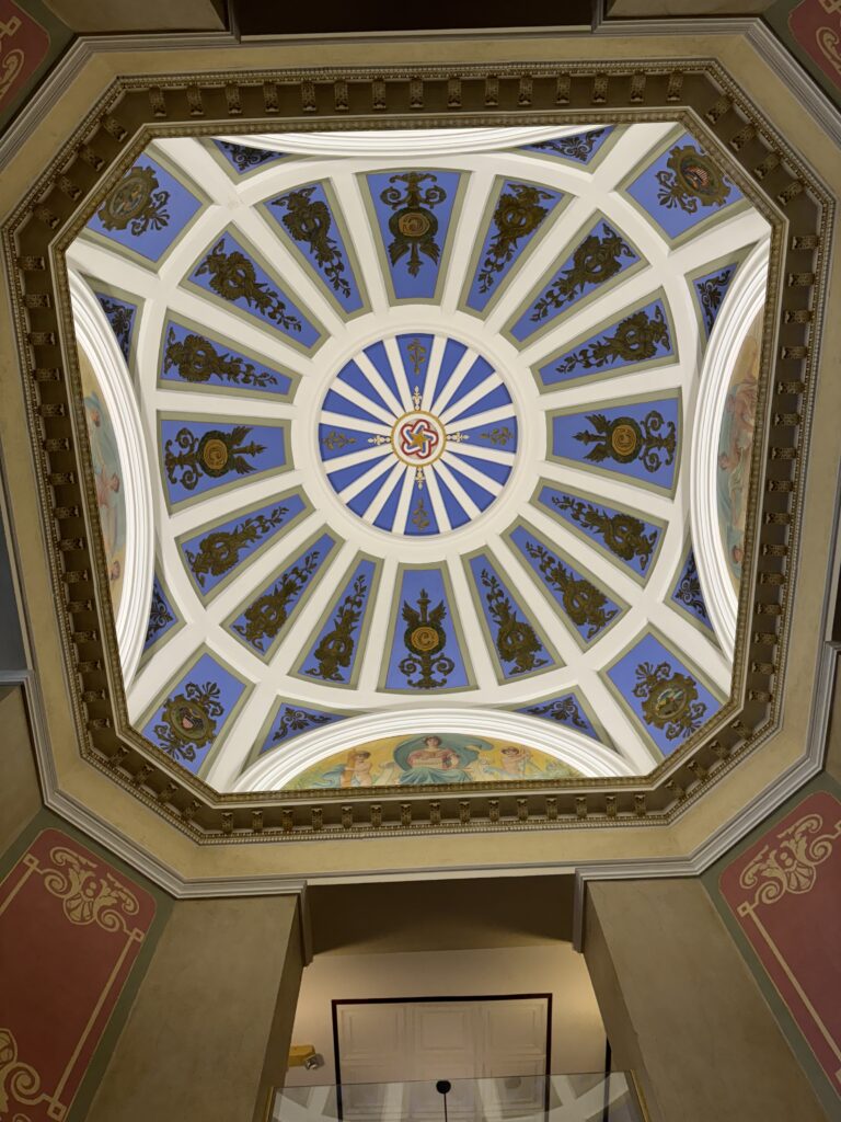
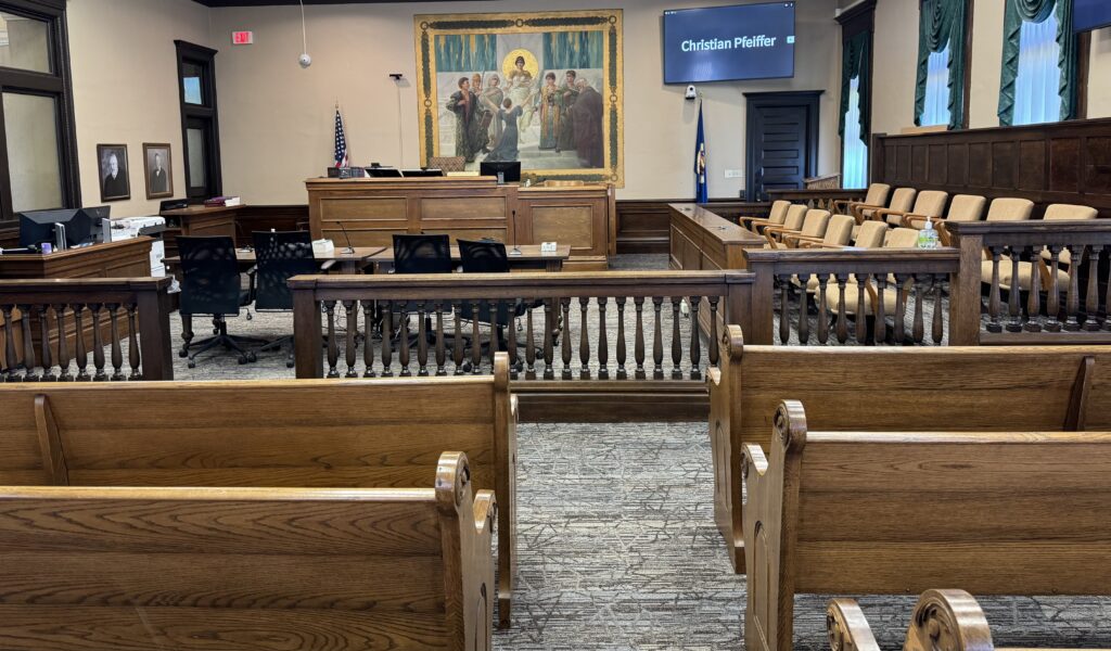
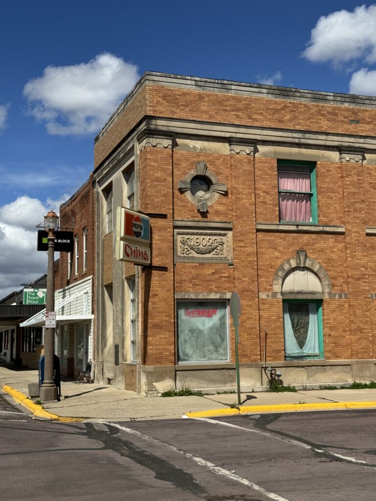
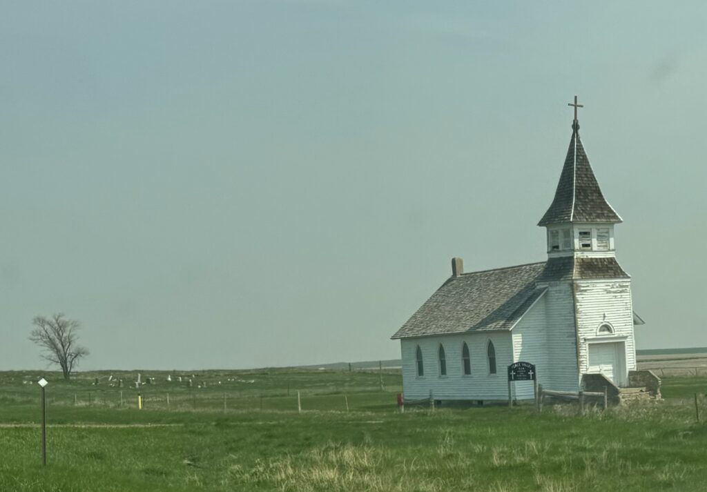
On the way to Sioux Falls, South Dakota, we passed Windom, an interesting old town, and stopped to walk around. Cottonwood County Courthouse is there, and we walked in to visit their courtroom.
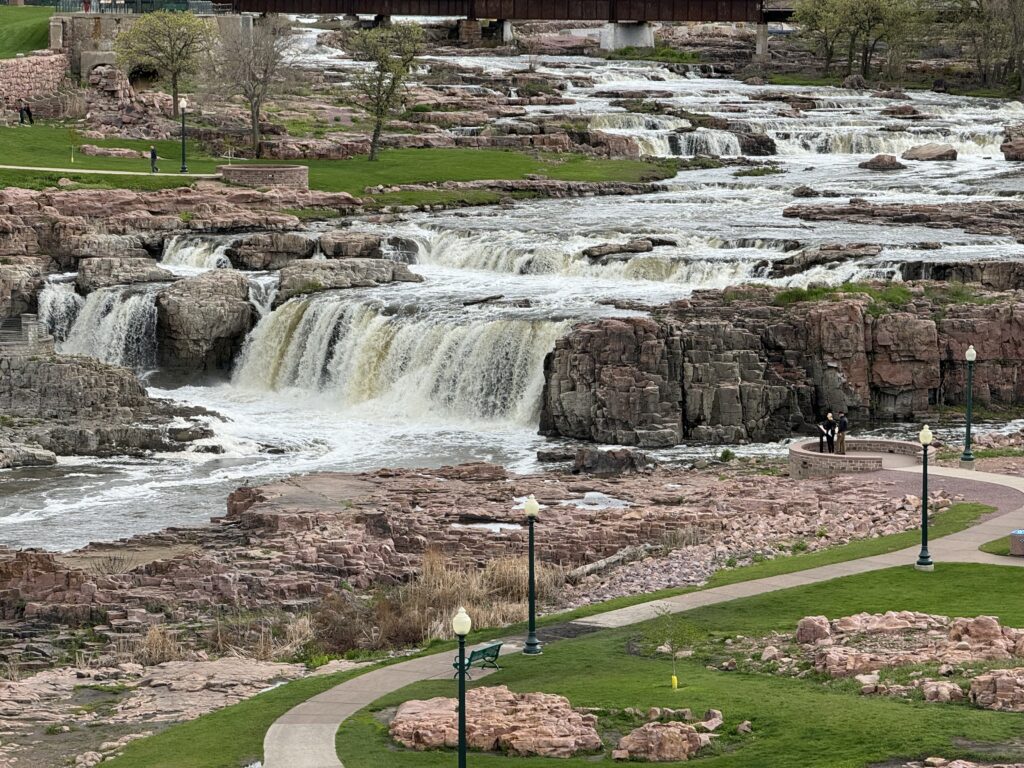
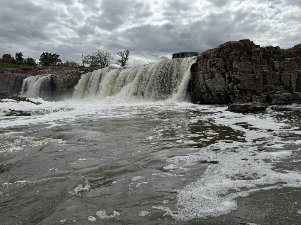
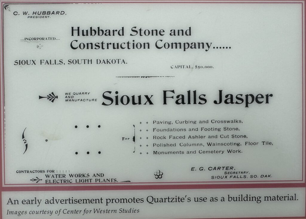
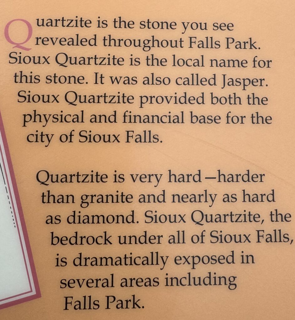
On across the vast, flat, nearly treeless prairie expanses to Sioux Falls, South Dakota. What surprised us there was the unusual series of cascades formed by the Big Sioux River carved into Sioux ๆuartzite, metamorphosized from red sandstone (like that of Arches NP in Utah). Sioux quartzite is harder than granite, and was used in building construction. It is also called ‘Jasper’.
Sioux Falls was used as the site for a big flour mill, which worked for a time but eventually went bankrupt and was removed.
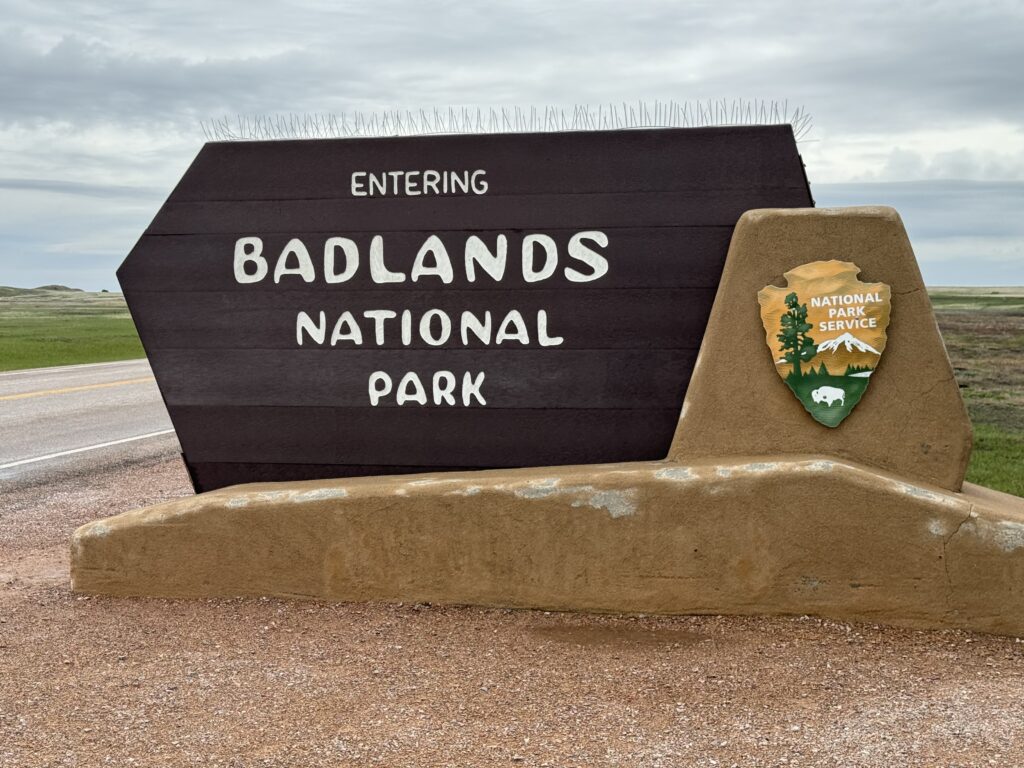
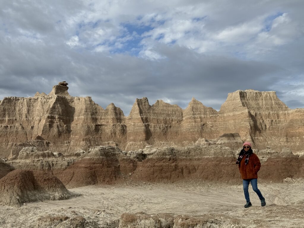
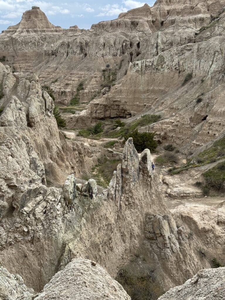
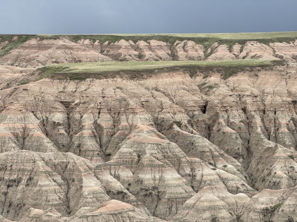
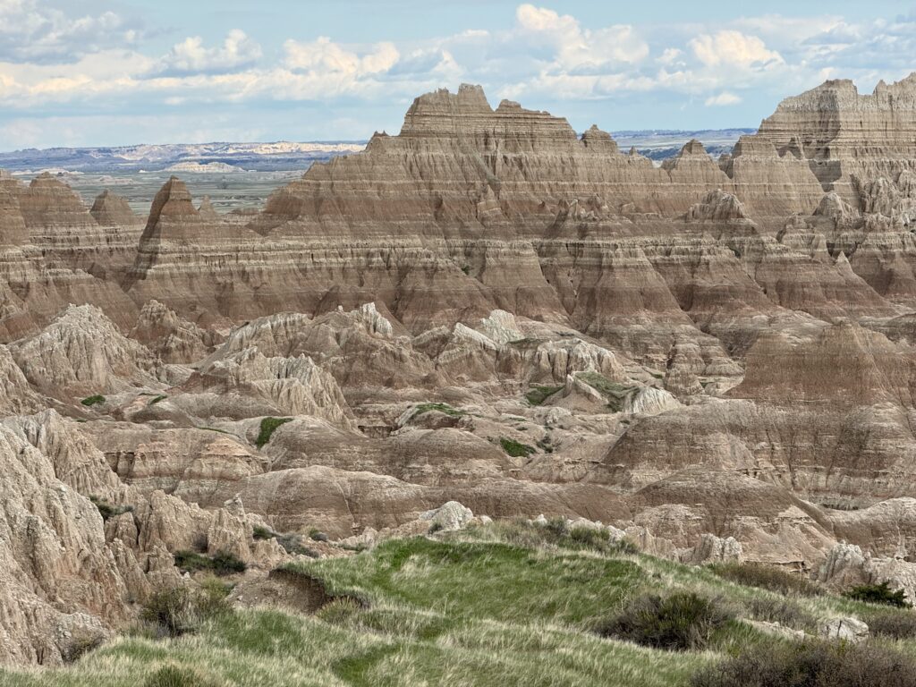
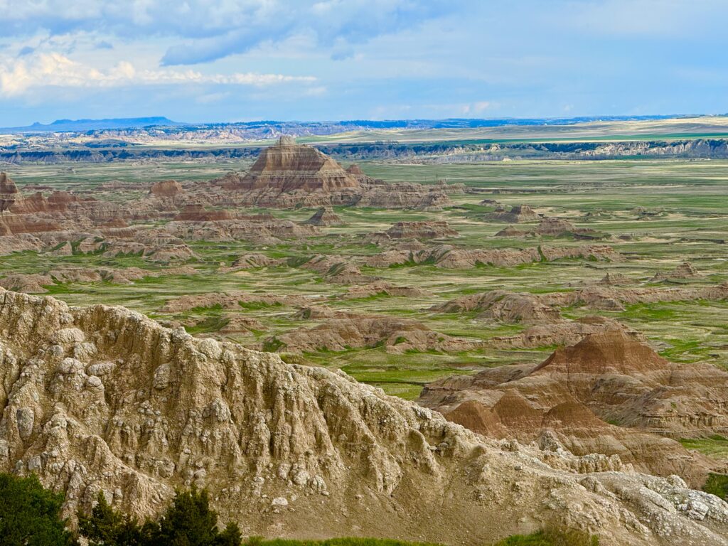
From Sioux Falls, we headed west across several hundred miles of flat, nearly treeless grasslands (the ‘prairie’) to Badlands National Park, South Dakota. Most impressive!
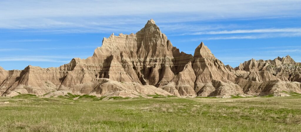
We hiked several trails there including ‘The Door’ and ‘The Notch’.
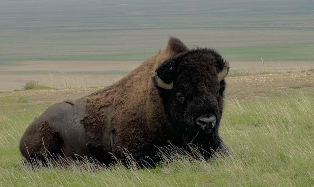

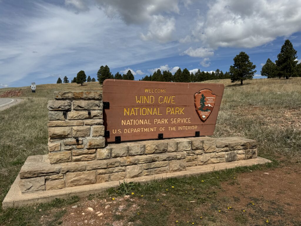
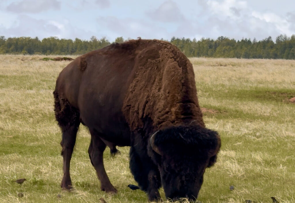
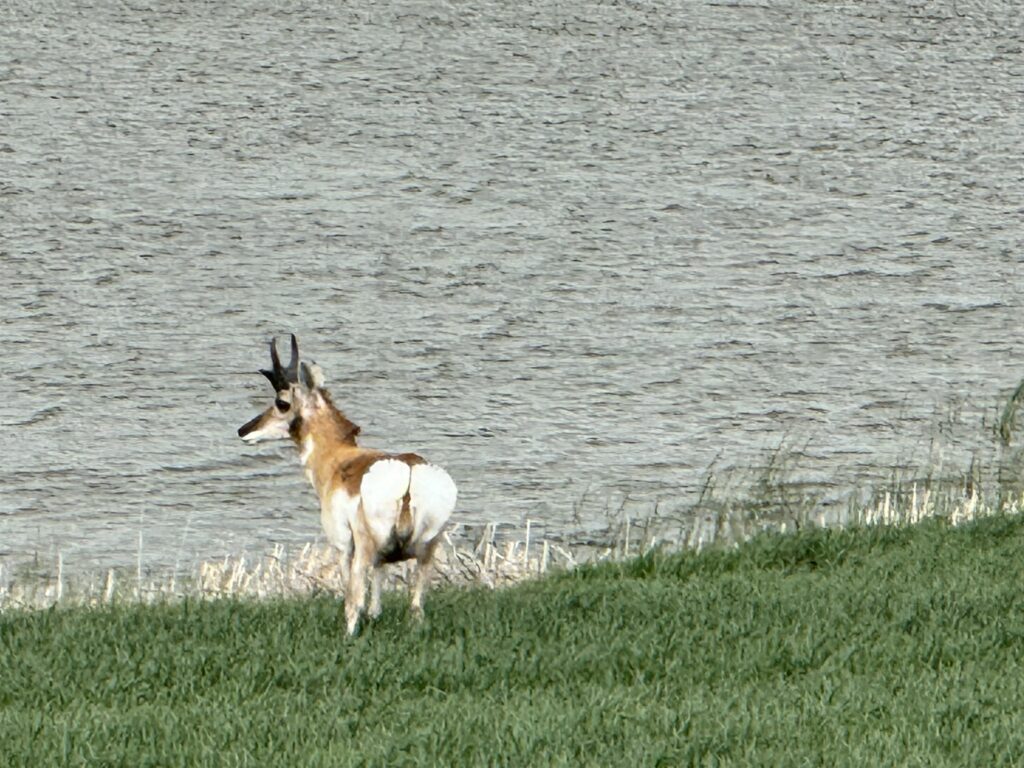
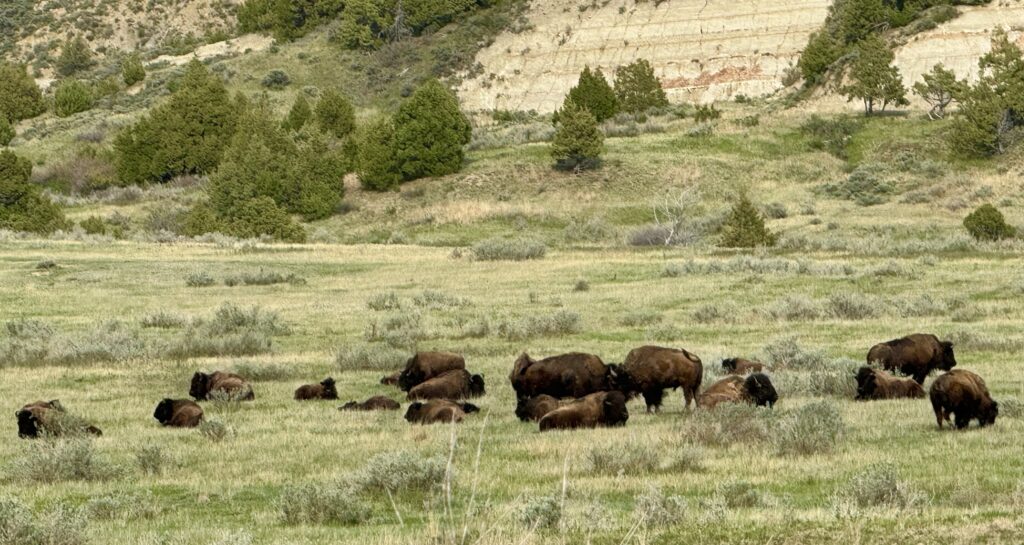
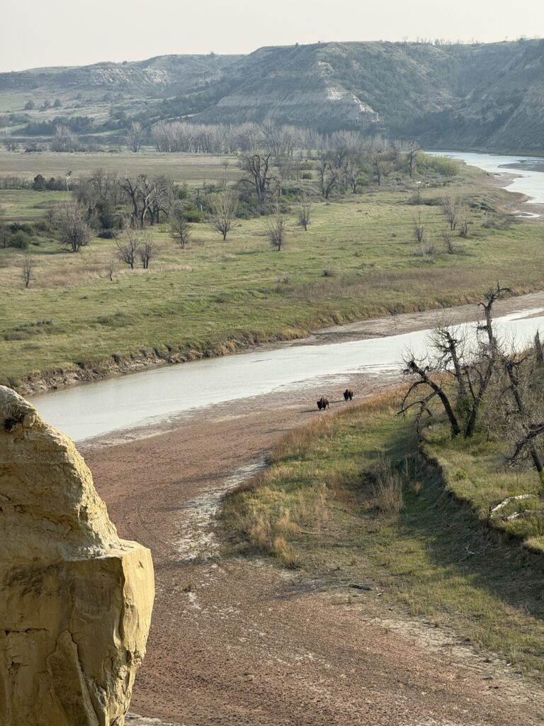
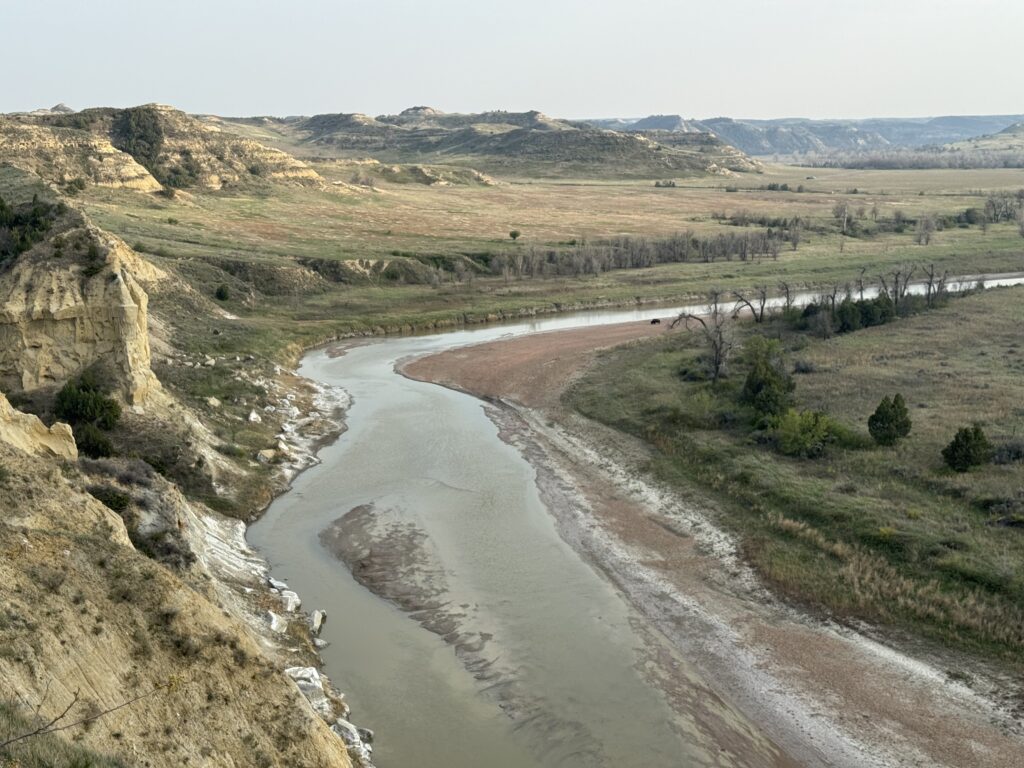
From Badlands NP, we drove west to Wind Cave National Park, only to discover that the huge cave complex was closed for ‘repairs’. Oh well. We saw the biggest herds of bison there, as well as many pronghorn antelope.
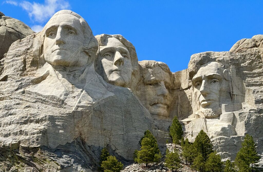
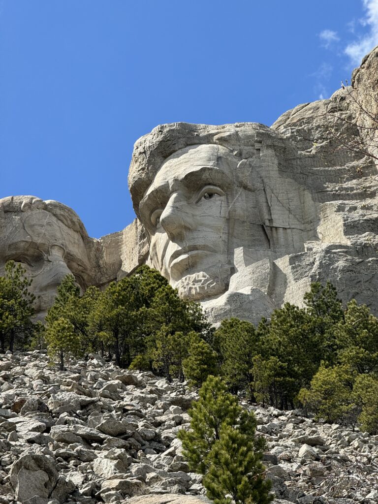
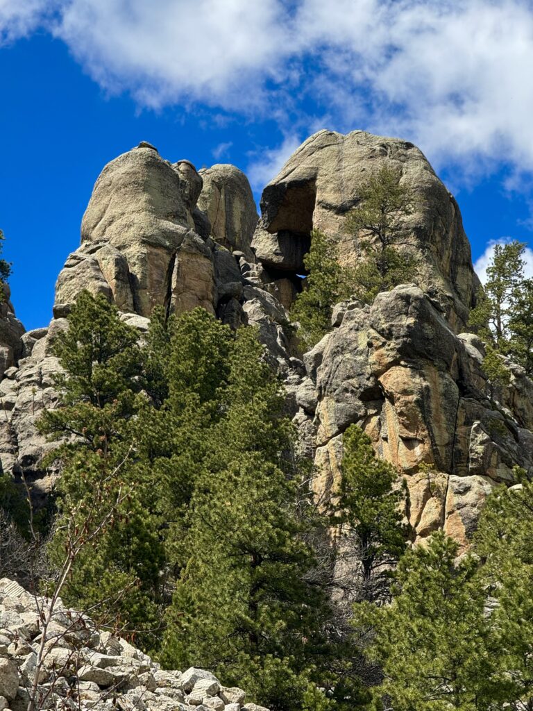
Then we drove on to Mount Rushmore National Monument in the Black Hills of South Dakota. Impressive massive stone carvings in a mountain of four presidents, Washington, Thomas Jefferson, Lincoln, and Theodore Roosevelt. Having them here is a bit ironic if you learn some of the history of the Black Hills. In 1868, the US signed a treaty guaranteeing the Lakota (Sioux) nation the ownership of the Black Hills in perpetuity. Just a few years later, after gold was discovered there, the government broke the agreement and took the land. Eventually, Lakota sued, and the Supreme Court ruled that the land was taken illegally, and awarded $108,000,000 payment. The Lakota tribes refused to take the money, as they want the land back, and taking the money would make it seem they had sold it. The money remains in a trust to this day, earning interest, and is now more than $1.2 billion dollars. Still, the Lakota refuse to take it, and are trying to get their land back instead. It seems to me that it’s unlikely, given how much development has occurred. A sensible approach might be to give them all the National Forest Land and other areas belonging to the government, excepting parkland.
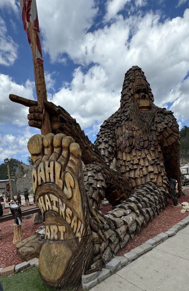
We drove on a bit to overnight in historic Deadwood, where ‘Wild Bill Hickok’ was killed in a poker game. The story is apparently a little different than I remember. Wild Bill cleaned out a drunk gambler, then gave him enough to eat, which humiliated him. The next night, Wild Bill came to play, and could not get his usual seat with his back to the wall facing the entrance (someone else had it already and wouldn’t switch). He sat with his back to the entrance and played. The humiliated and drunk gambler came in and shot Wild Bill in the back of the head. He was later hanged.
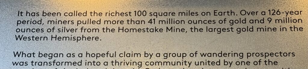
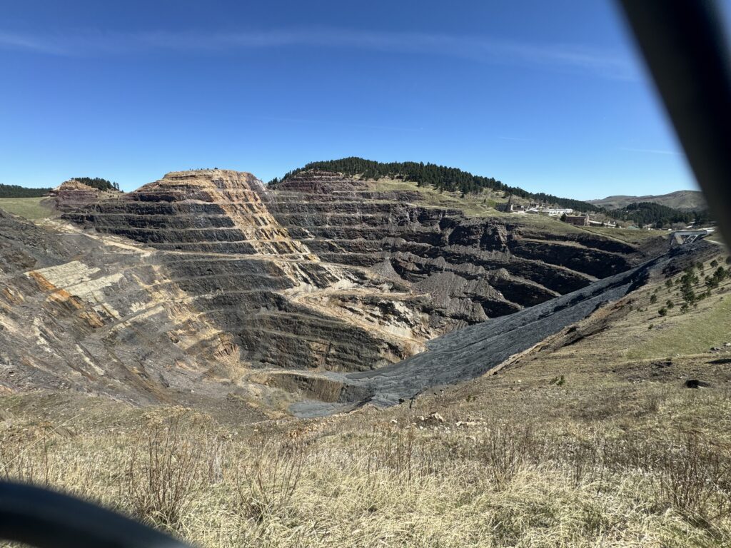
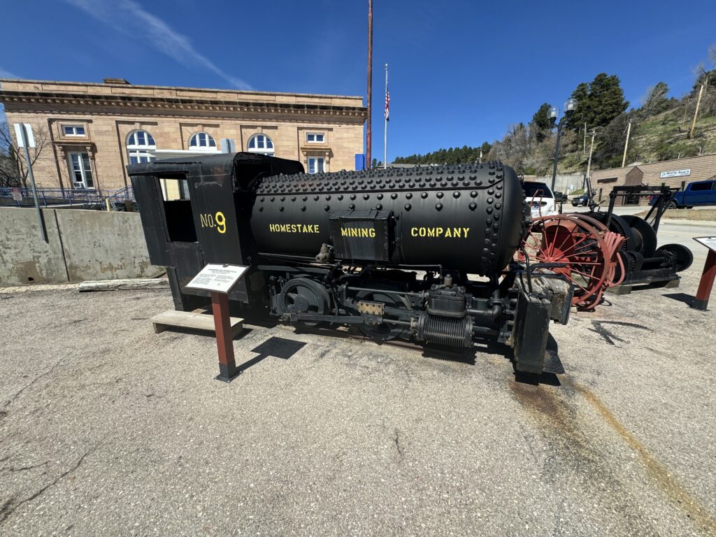
On the way, we stopped in nearby ‘Lead’, prounouced ‘leed’ rather than ‘led’, as it refers to finding a ‘lead’ to an ore deposit. The historic Homestake Mine is located there, and is quite a wonder. It also was the venture that turned George Hearst from rich to super-rich, enabling the later Hearst publishing empire.
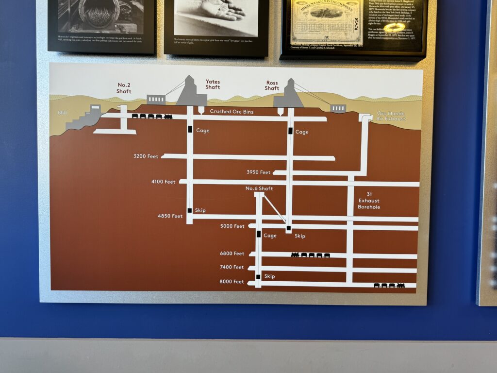
371 miles of mine tunnel, extending down to 8,000 feet deep!
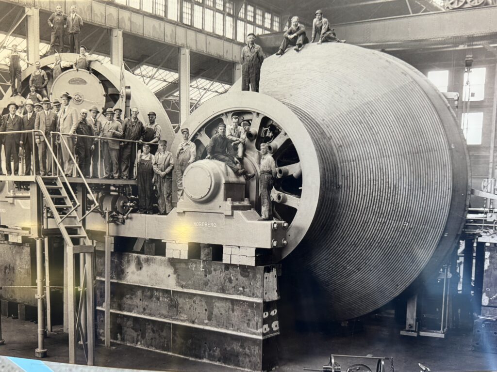
It is no longer possible to go down into the mine. But at the 5,000 foot level, an important neutrino detecting scientific detector is now located. The longest access shaft is to the 5,000 foot level. Just the weight of the 1 1/2″ steel cables this long is big, so they made special beveled hoist drums that start out small (for more torque) and get bigger as there is more cable on the drum and so, less to lift!
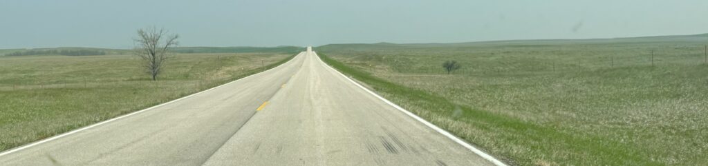
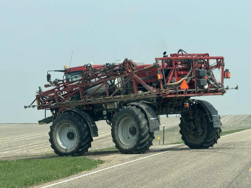
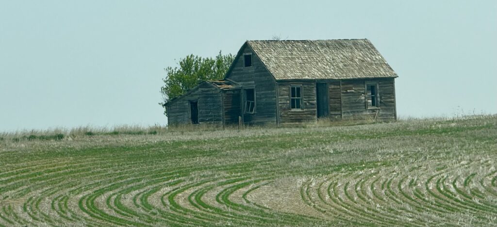
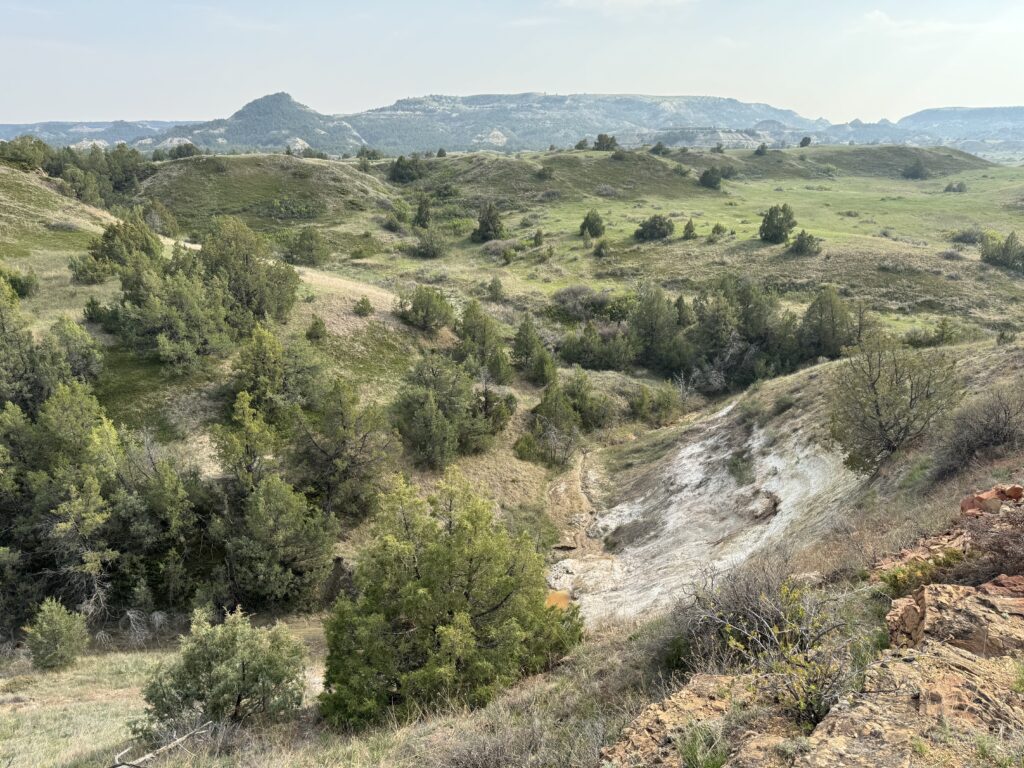
Next, we drove 200 miles north across northwest South Dakota to southwest North Dakota. Dropping out of the Black Hills, we began crossing the great flat plains, stretching as far as the eye could see off to the horizon, nearly treeless. At some points, there was not a farm house or car visible in any direction. The population density there must be very low–a small number of farmers with very large equipment growing corn, soybeans and wheat on enormous fields.
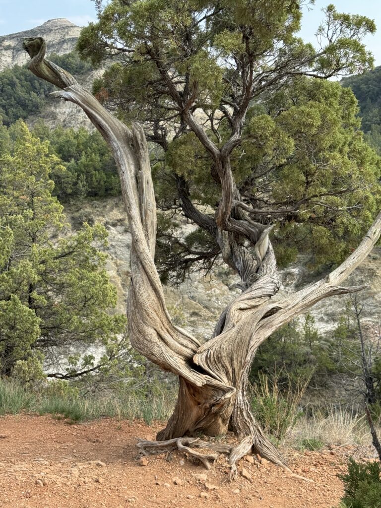
As we approached North Dakota, it became hilly. Our destination was Theodore Roosevelt National Park. Roosevelt had a farm/ranch there in the 1880s, before he became a national politician. He experienced what happens to the plains when you overgraze and then hit a drought–collapse.
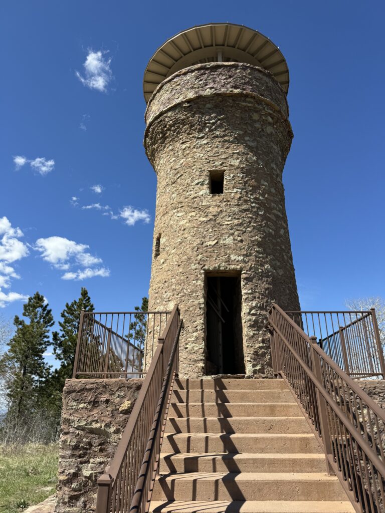
“While riding on his Belle Fourche ranch in 1884, Seth Bullock, now a Deputy U.S. Marshall, saw three horsemen riding across the plains. He stopped the party as “they looked like a “tin-horn gambling outfit.” Two men were bringing in a horse thief wanted in Dakota Territory. One of the men, a Deputy Sheriff from Medora, North Dakota, was a 26-year-old rancher named Theodore Roosevelt. This chance meeting was the beginning of a very close 35-year relationship between the two men.”
As a result of that friendship, Bullock had this observation tower built at the top of ‘Mount Roosevelt’ near Deadwood, South Dakota:
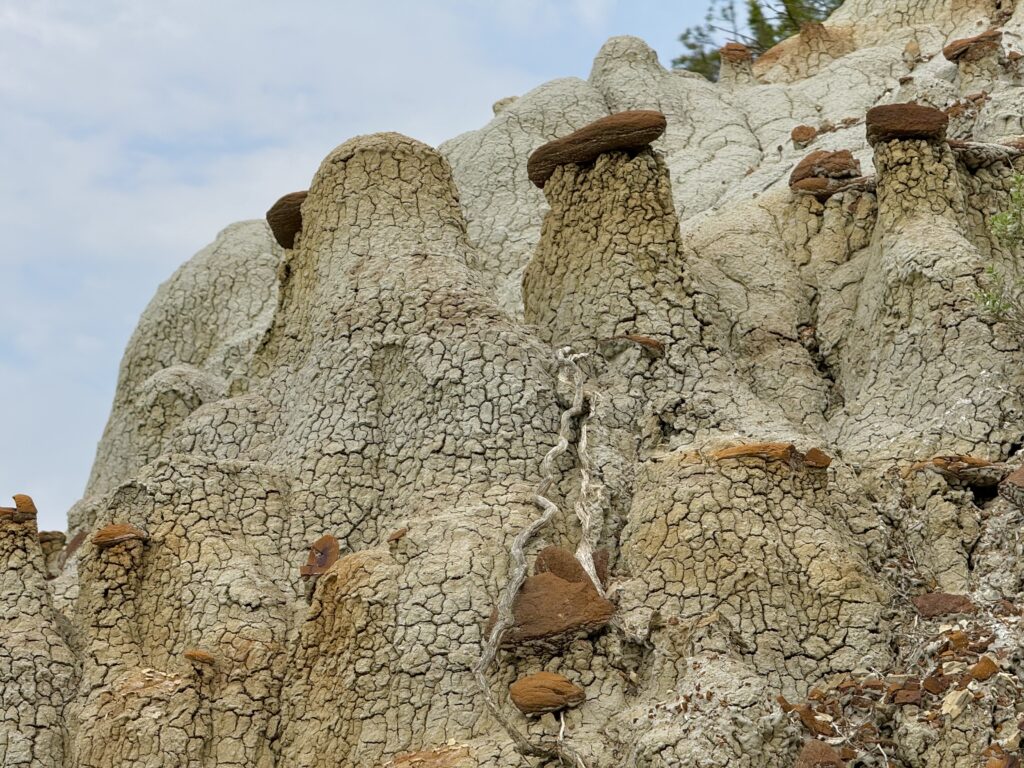
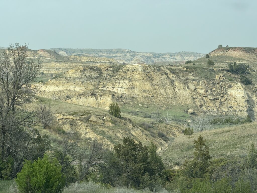
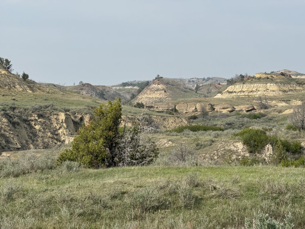
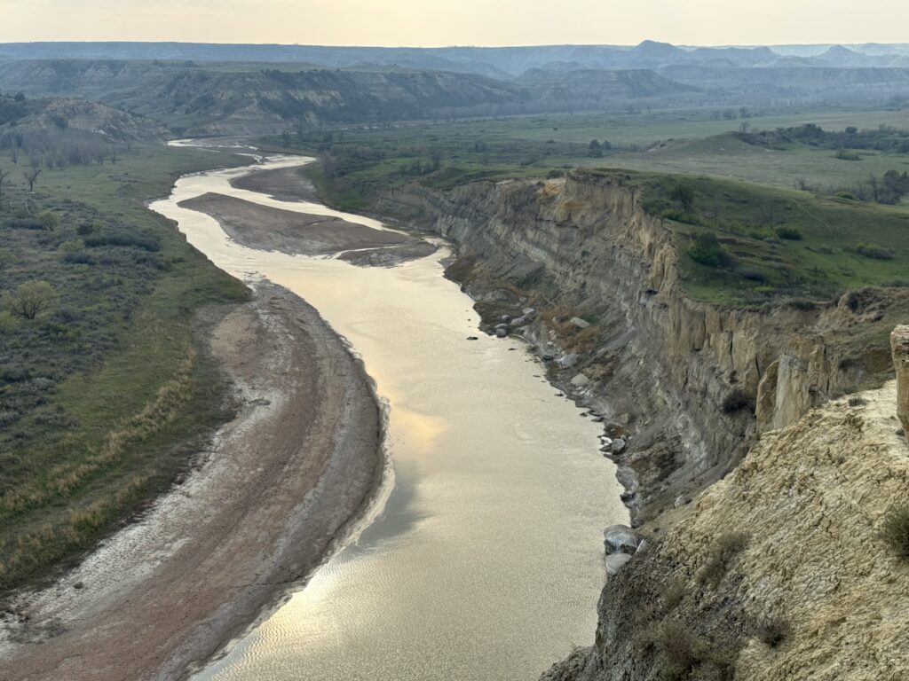
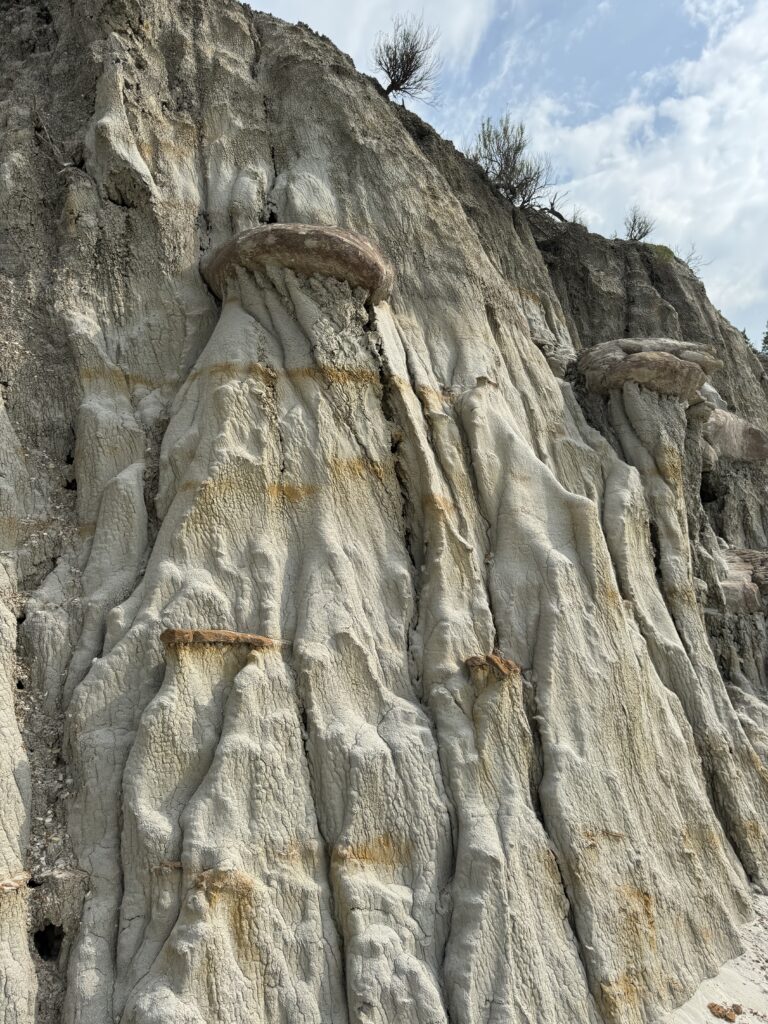
Back to North Dakota: TRNP is part of what is called the North Dakota Badlands. It is much less ‘bad’ than the South Dakota Badlands, much more passable.
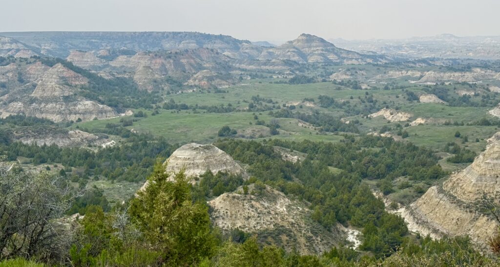
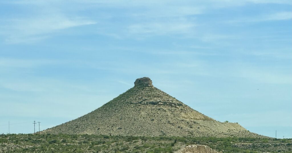
There are unusual rock formations where pieces of hard sandstone cap dolomite sediment, leaving peculiar columns a bit like in Cappadocia, Turkey.
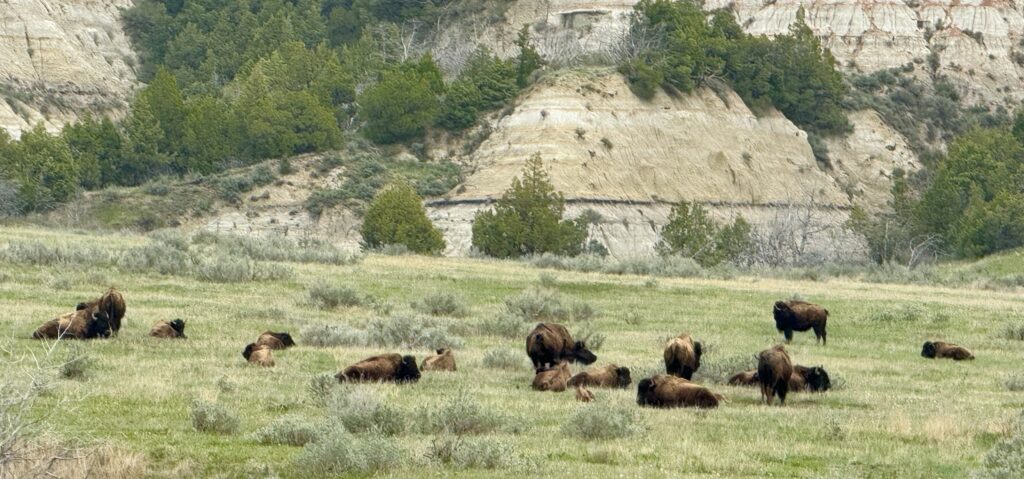
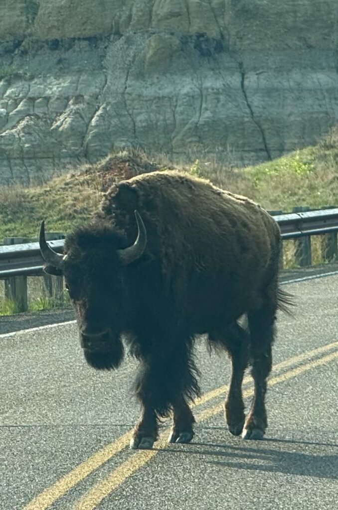
There are large bison herds free to roam on the unaltered plains grasslands there. We saw more than two hundred, and had to stop twice for bison walking across or along the road. “Oh, give me a home, where the buffalo roam, and the deer and the antelope play…” There are are also wild horses and prong-horn antelope.
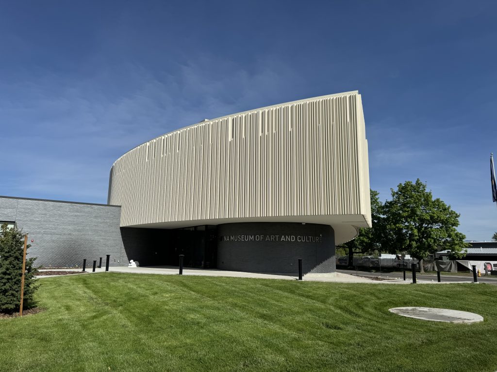
8,000 miles so far. The USA is big. Now, onward to Montana.
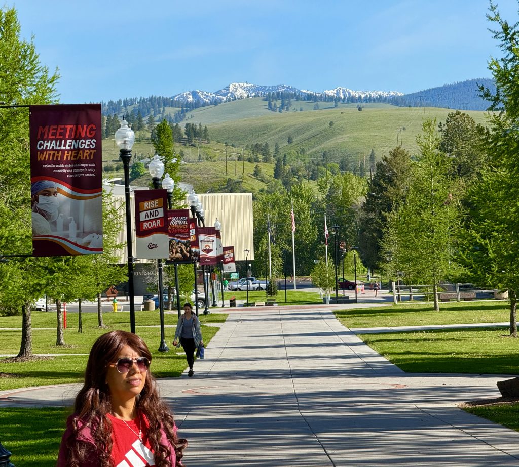
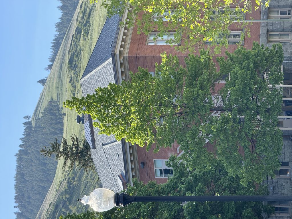
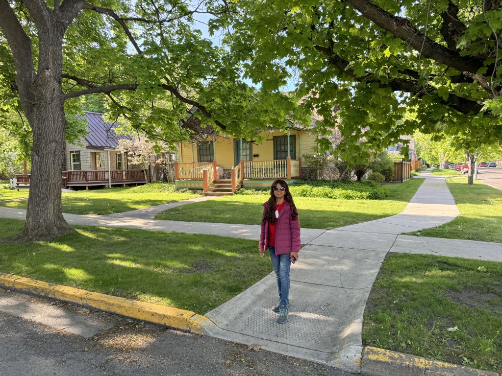
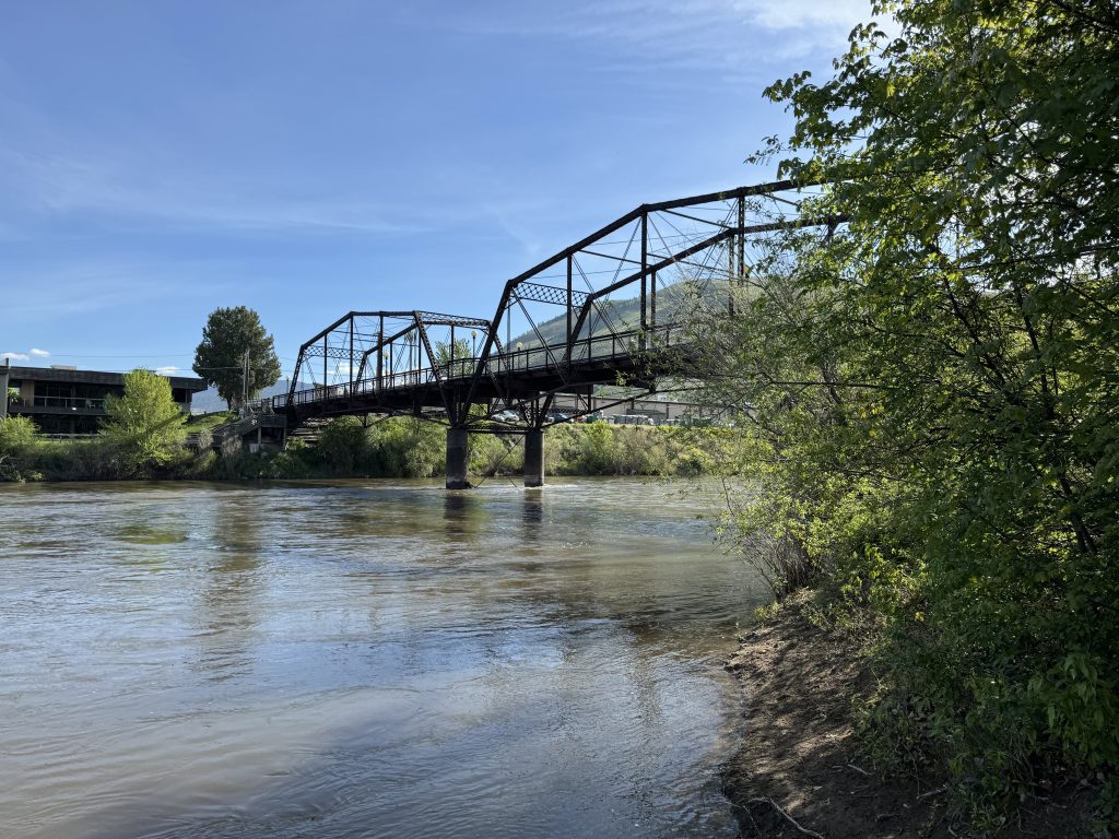
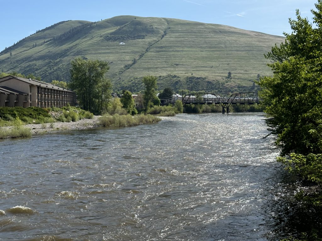
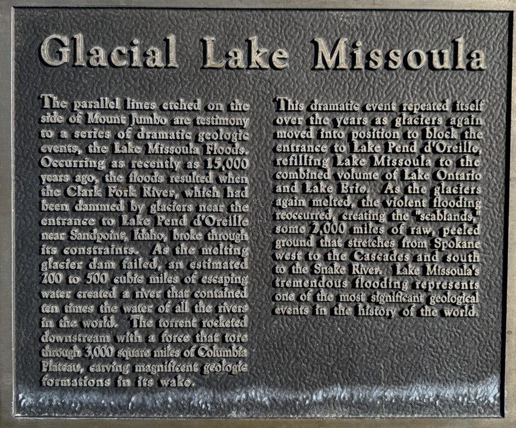
Missoula, Montana is a beautiful town. The University of Montana campus is lovely, the surrounding hills dramatic, and we recommend a visit.
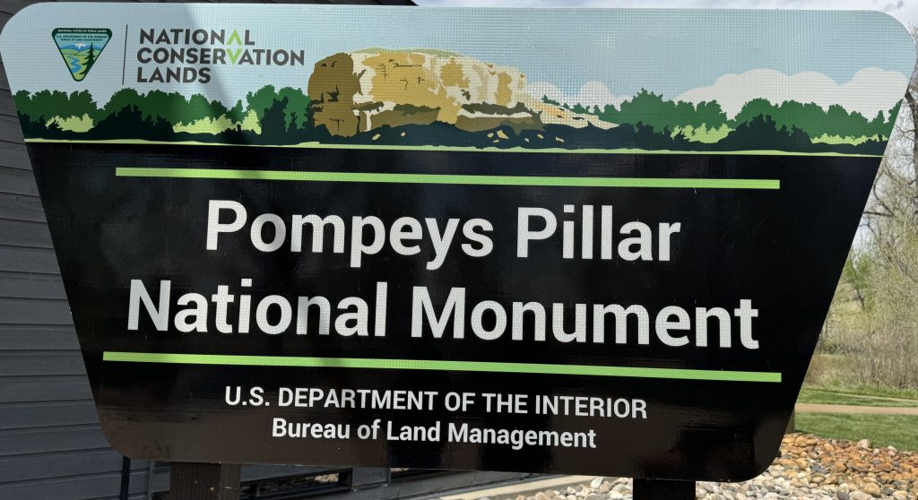
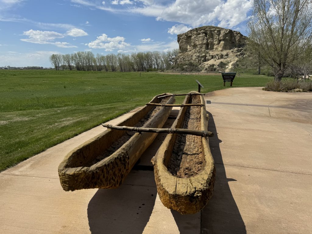
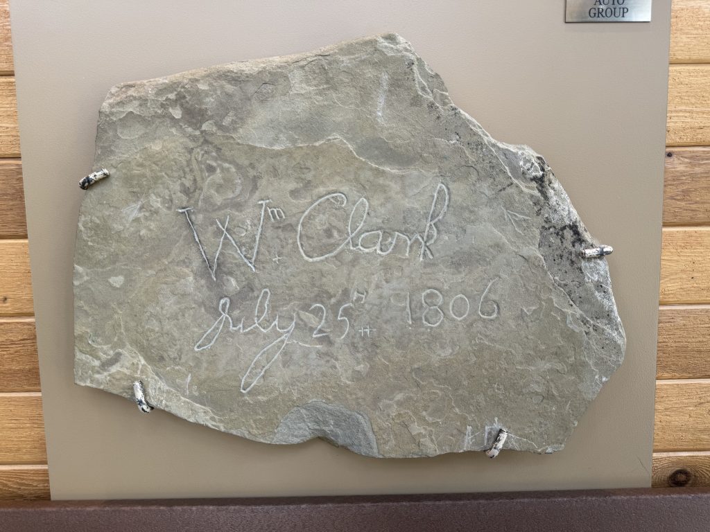
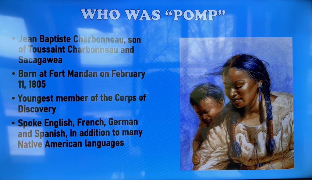
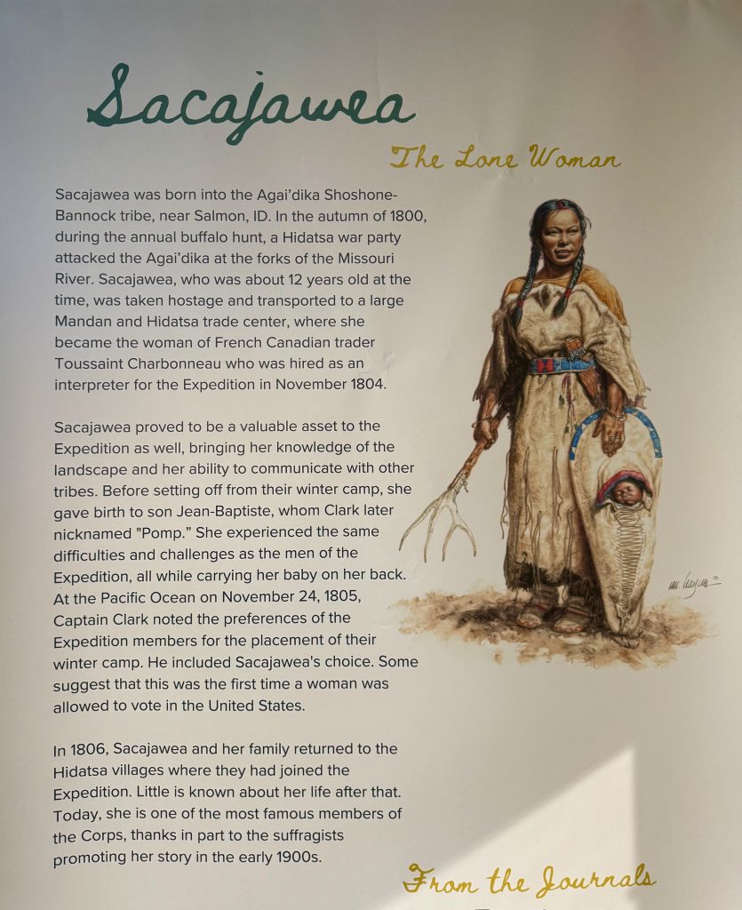
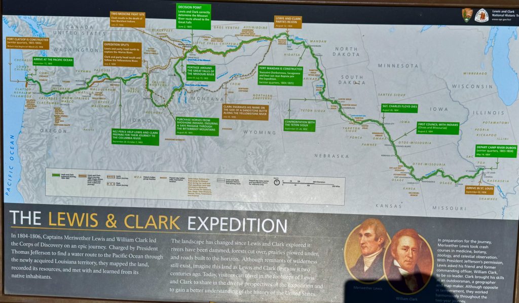
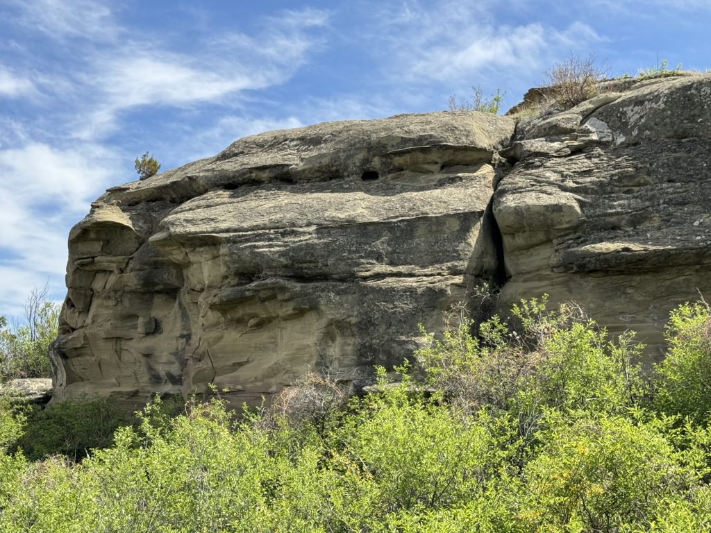
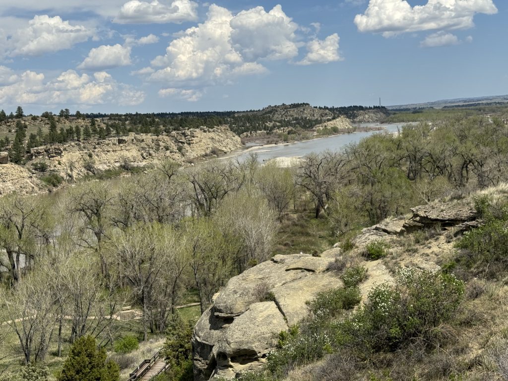
Then we drove on and made a stop at an out of the way National Monument: Pompey’s Pillar.